Long Plantation
Wood, Forest in Wigtownshire
Scotland
Long Plantation
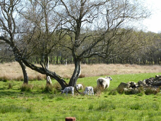
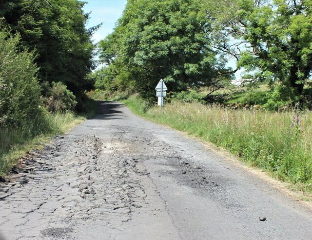
Long Plantation is a vast woodland located in Wigtownshire, Scotland. It spans over 200 acres, making it one of the largest forests in the region. The plantation is situated in a rural and serene area, surrounded by picturesque landscapes and rolling hills.
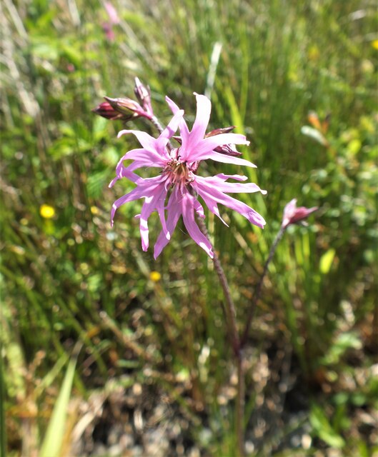
The forest is predominantly composed of a variety of trees, including oak, birch, and pine. These trees form a dense canopy, providing a habitat for numerous species of birds, mammals, and insects. The diverse range of flora and fauna found in Long Plantation contributes to its ecological importance and attracts nature enthusiasts and wildlife photographers.
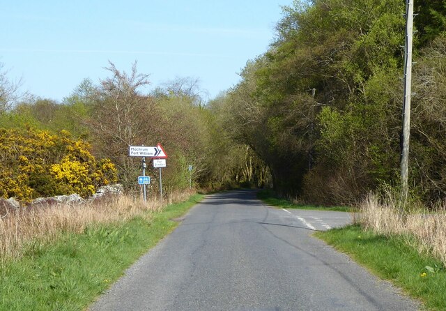
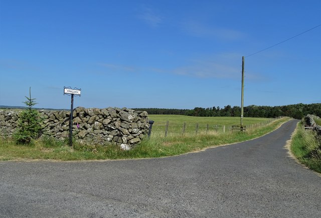
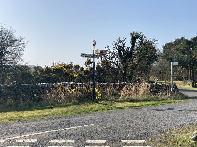
The forest offers a network of well-maintained trails, making it a popular destination for outdoor activities such as hiking, cycling, and horseback riding. These trails offer breathtaking views and a chance to explore the natural beauty of the woodland. Additionally, the plantation has designated picnic areas and camping spots, providing visitors with an opportunity to immerse themselves in the tranquility of the surroundings.
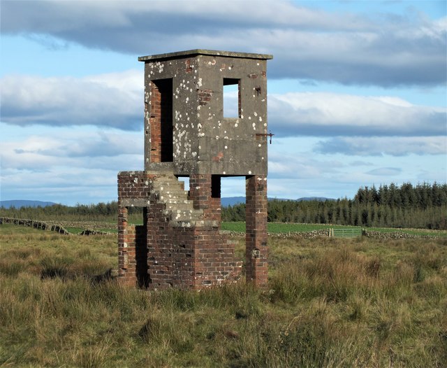
Long Plantation is also historically significant, with evidence of human activity dating back centuries. Archaeological findings suggest that the area was inhabited during the Iron Age, and it has been used for timber production since medieval times. The forest's rich history adds an extra layer of interest for those exploring the site.
Overall, Long Plantation in Wigtownshire is a captivating destination for nature lovers and history enthusiasts alike. With its vast woodland, diverse wildlife, and recreational opportunities, it offers a unique and memorable experience for visitors.
If you have any feedback on the listing, please let us know in the comments section below.
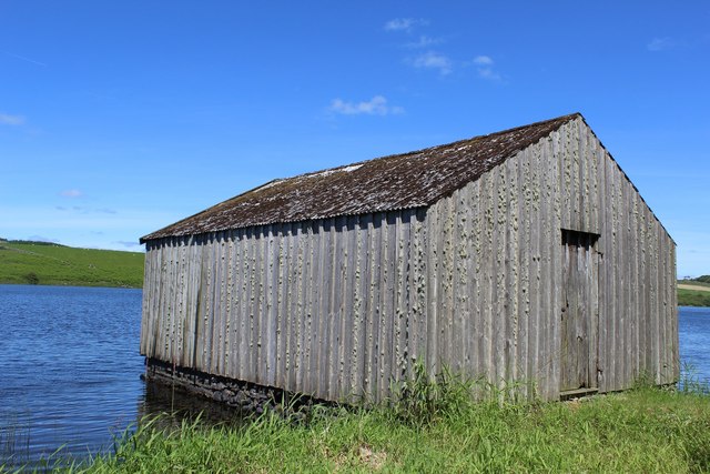
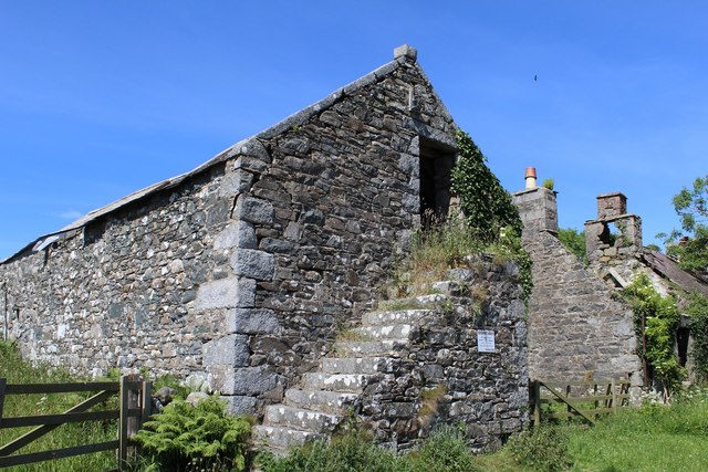
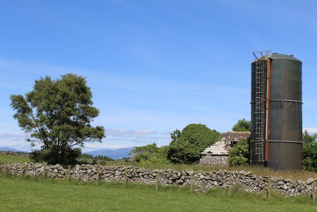
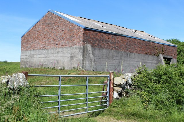
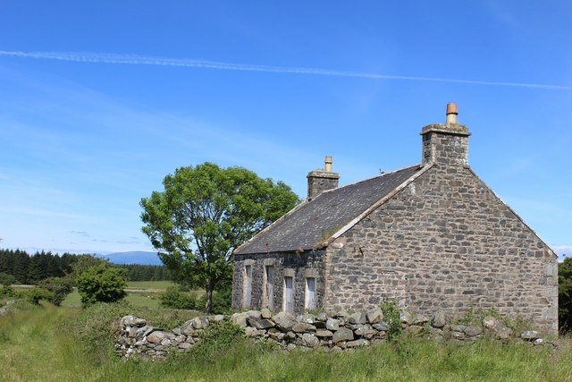
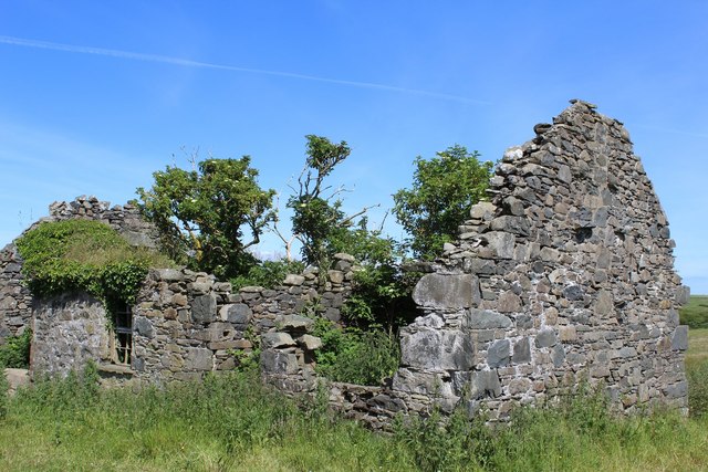
Long Plantation Images
Images are sourced within 2km of 54.819748/-4.5977166 or Grid Reference NX3350. Thanks to Geograph Open Source API. All images are credited.
Long Plantation is located at Grid Ref: NX3350 (Lat: 54.819748, Lng: -4.5977166)
Unitary Authority: Dumfries and Galloway
Police Authority: Dumfries and Galloway
What 3 Words
///unto.canal.gurgled. Near Whithorn, Dumfries & Galloway
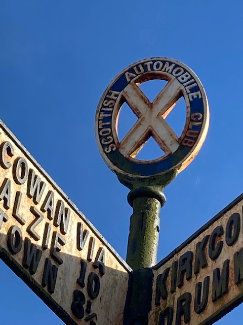
Nearby Locations
Related Wikis

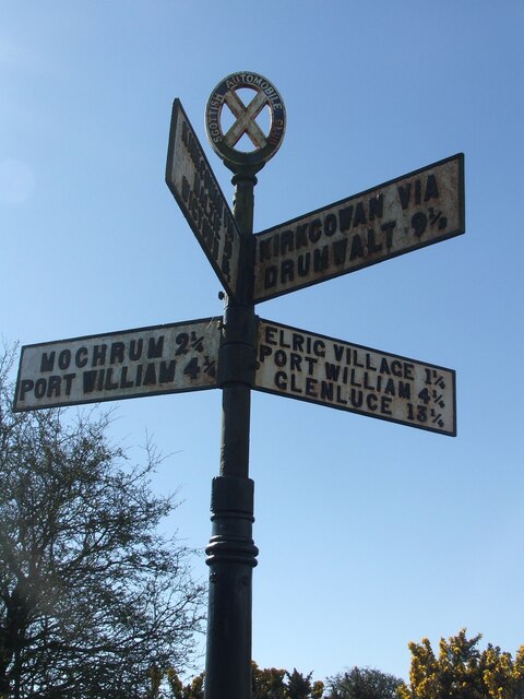
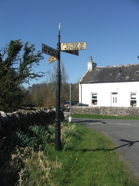
Machars
The Machars (Scottish Gaelic: Machair Ghallghaidhealaibh) is a peninsula in the historical county of Wigtownshire in Galloway in the south-west of Scotland...

Elrig
Elrig (Scottish Gaelic: An Eileirg, meaning "the deer run") is a clachan or hamlet in the historical county of Wigtownshire in Dumfries and Galloway...

Mochrum
Mochrum () is a coastal civil and Church of Scotland parish situated to the east of Luce Bay on the Machars peninsula and 8 miles (13 km) southwest of...

Doon of May
The Doon of May is a conifer plantation associated with an Iron Age hill fort in Dumfries and Galloway, south-west Scotland. Located around 14 kilometres...

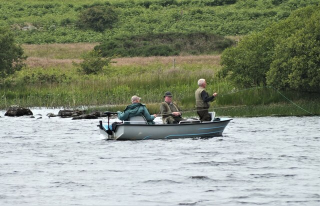
Mochrum Loch
Mochrum Loch is a large, irregular shaped, shallow, freshwater loch in Dumfries and Galloway, in the Southern Uplands of south-west Scotland. It lies approximately...

Castle Loch, Dumfries and Galloway
Castle Loch is a large, shallow, freshwater loch in Dumfries and Galloway, in the Southern Uplands of south-west Scotland. It lies to the west of Mochrum...
Castle Loch
Castle Loch is a shallow eutrophic loch covering an area of around 100 hectares in the town of Lochmaben in Dumfries and Galloway, Scotland. It lies to...

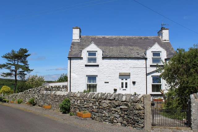
Port William, Dumfries and Galloway
Port William (Scottish Gaelic: Cill na Tràghad) is a fishing village in the parish of Mochrum in the historical county of Wigtownshire, Dumfries and Galloway...
Nearby Amenities
Located within 500m of 54.819748,-4.5977166Have you been to Long Plantation?
Leave your review of Long Plantation below (or comments, questions and feedback).