Gravel Hill

Hill, Mountain in Wigtownshire

Scotland

Gravel Hill

Field near Shennanton House Gorse (or furze) seems to be a major problem in south-west Scotland, having invaded large areas of farmland
Field near Shennanton House Credit: Oliver Dixon

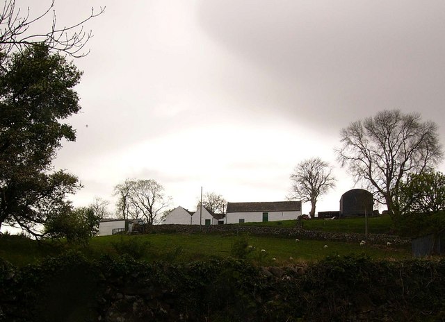
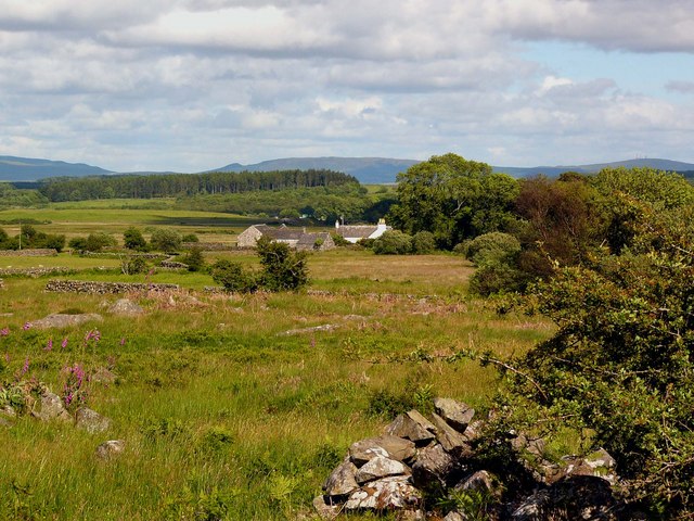
Gravel Hill is a prominent hill located in Wigtownshire, a historic county in southwestern Scotland. Situated near the village of Kirkcowan, the hill forms part of the Southern Uplands, a range of hills and mountains that stretches across the southern part of the country.

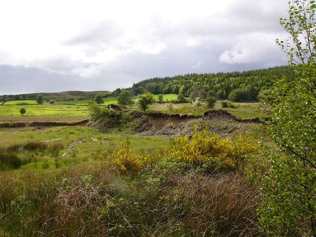
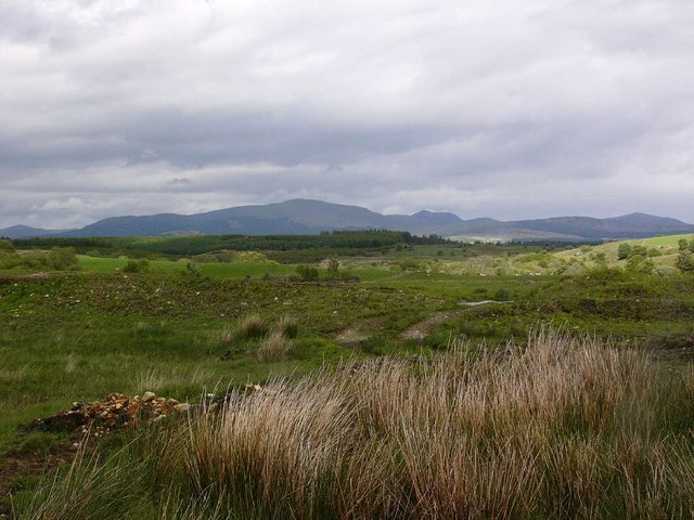
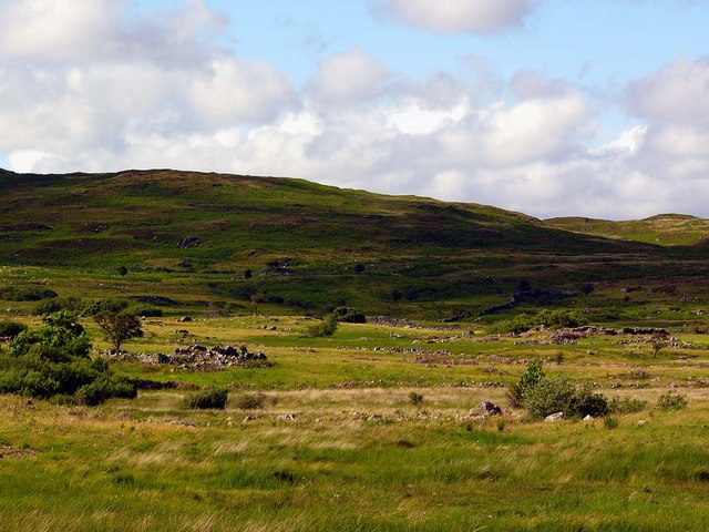
With an elevation of approximately 570 meters (1,870 feet), Gravel Hill stands as one of the highest peaks in the region. Its position provides breathtaking panoramic views of the surrounding countryside, including the picturesque landscapes of Galloway Forest Park and the Solway Firth.

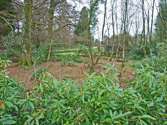
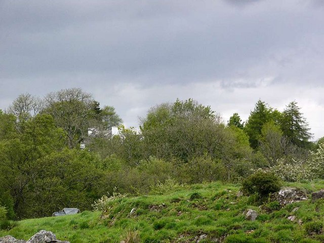
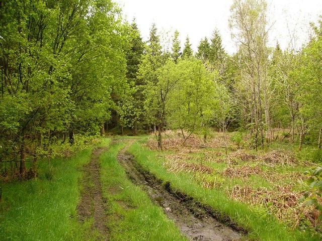
The hill is primarily composed of rugged and rocky terrain, featuring a mixture of grassy slopes and craggy outcrops. The vegetation is predominantly heather and gorse, adding a touch of color to the landscape throughout the year. The rocky nature of Gravel Hill makes it a popular destination for hikers, mountaineers, and nature enthusiasts who enjoy the challenge of its steep slopes and the rewards of the stunning vistas from its summit.

The area surrounding Gravel Hill is rich in biodiversity, supporting a variety of wildlife species. Birds such as golden eagles, peregrine falcons, and red kites can often be spotted soaring above the hill's peaks. Additionally, the nearby forests are home to red deer, roe deer, and otters, providing further opportunities for wildlife observation.

Gravel Hill is a significant natural landmark in Wigtownshire, attracting visitors from both near and far who seek an outdoor adventure amidst the scenic beauty of the Scottish countryside.

If you have any feedback on the listing, please let us know in the comments section below.
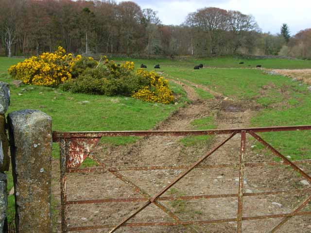
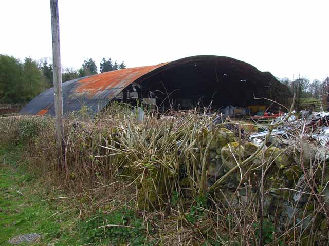
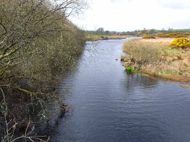
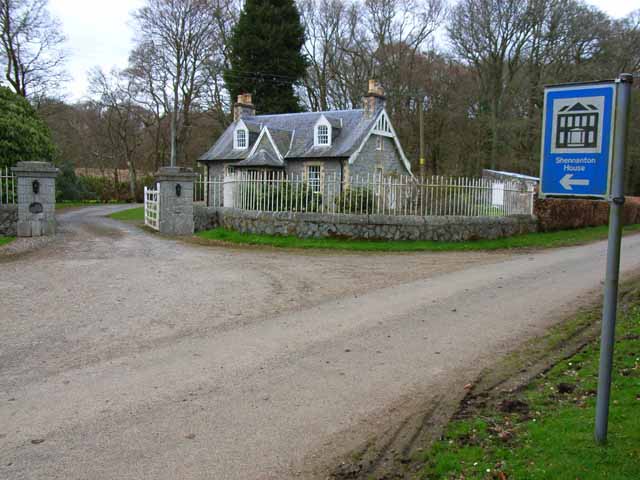
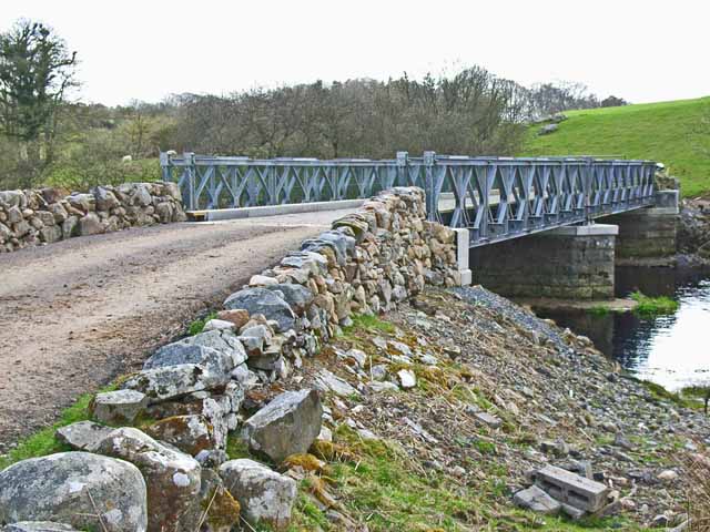
Gravel Hill Images

Images are sourced within 2km of 54.94847/-4.604783 or Grid Reference NX3364. Thanks to Geograph Open Source API. All images are credited.

Field near Shennanton House Gorse (or furze) seems to be a major problem in south-west Scotland, having invaded large areas of farmland
Field near Shennanton House
Gorse (or furze) seems to be a major problem in south-west Scotland, having invaded large areas of farmland
Old Pack Horse bridge over the River Bladnoch This bridge lies on the course of the old Military  Road, built in the 18th century to enable rapid transport of troops to Ireland via Portpatrick. Curiously, one arch remains, covered in gorse bushes; whilst the abutment on the opposite bank has been reduced to rubble.
Old Pack Horse bridge over the River Bladnoch
This bridge lies on the course of the old Military Road, built in the 18th century to enable rapid transport of troops to Ireland via Portpatrick. Curiously, one arch remains, covered in gorse bushes; whilst the abutment on the opposite bank has been reduced to rubble.
Barn at Mark of Shennanton This colossal barn stands close to Shennanton House.
Barn at Mark of Shennanton
This colossal barn stands close to Shennanton House.
The River Bladnoch Looking upstream from the bridge above Shennanton House
The River Bladnoch
Looking upstream from the bridge above Shennanton House
Shennanton House Lodge It is difficult to get a clear sight of Shennanton House, a large Tudor style house built in 1908 set in 30 acres of garden. The house must be the ultimate holiday home - normally let as three separate properties, but can be let together to house at least 30 people! The Lodge seen here is also available as a holiday let.
Shennanton House Lodge
It is difficult to get a clear sight of Shennanton House, a large Tudor style house built in 1908 set in 30 acres of garden. The house must be the ultimate holiday home - normally let as three separate properties, but can be let together to house at least 30 people! The Lodge seen here is also available as a holiday let.
Shennanton House Gardens It is difficult to get a clear sight of Shennanton House, a large Tudor style house built in 1908 set in 30 acres of woodland garden. The house must be the ultimate holiday home - normally let as three separate properties, but can be let together to house at least 30 people!
Shennanton House Gardens
It is difficult to get a clear sight of Shennanton House, a large Tudor style house built in 1908 set in 30 acres of woodland garden. The house must be the ultimate holiday home - normally let as three separate properties, but can be let together to house at least 30 people!
Bridge over the River Bladnoch A bridge over the River Bladnoch a short way upstream from Shennanton House. Presumably the current bridge replaces a much older structure.
Bridge over the River Bladnoch
A bridge over the River Bladnoch a short way upstream from Shennanton House. Presumably the current bridge replaces a much older structure.
Gravel pit near Shennanton
Rough grazing near Carsebuie Looking over to the Minnigaff Hills.
Rough grazing near Carsebuie
Looking over to the Minnigaff Hills.
Carsebuie
Carsebuie
Forest track near Carsebuie
Barfad Farm
Barfad Farm
Remains of old settlement, Ardachie These ruins lie on the moor to the north of Ardachie (Ard achadh - high field) and are the remains of the original settlement called "Urdachy" on early maps. The hill in the background is Crunlae Fell.
Remains of old settlement, Ardachie
These ruins lie on the moor to the north of Ardachie (Ard achadh - high field) and are the remains of the original settlement called "Urdachy" on early maps. The hill in the background is Crunlae Fell.
Ardachie Farm Looking southeast to the hills above Creetown
Ardachie Farm
Looking southeast to the hills above Creetown
Bog asphodel
Bog asphodel
Ring of Barfad The name Ring is from the Gaelic roinn or rinn, meaning a point of land. It probably refers to the position of this farm at the meeting of two rivers, the Bladnoch and its tributary, the Black Burn.
Ring of Barfad
The name Ring is from the Gaelic roinn or rinn, meaning a point of land. It probably refers to the position of this farm at the meeting of two rivers, the Bladnoch and its tributary, the Black Burn.
Round bales The introduction of silage and round bales for winter feed has massively reduced the incidence of farmers lung, a disabling respiratory condition caused by allergy to the spores of moulds found in traditional hay bales, especially when the hay crop was baled while wet.
Round bales
The introduction of silage and round bales for winter feed has massively reduced the incidence of farmers lung, a disabling respiratory condition caused by allergy to the spores of moulds found in traditional hay bales, especially when the hay crop was baled while wet.
Round bale wrapping
Round bale wrapping
Show me another place!

Gravel Hill is located at Grid Ref: NX3364 (Lat: 54.94847, Lng: -4.604783)

Unitary Authority: Dumfries and Galloway

Police Authority: Dumfries and Galloway

What 3 Words

///headliner.healthier.gallons. Near Newton Stewart, Dumfries & Galloway

Related Wikis

Kirkcowan railway station

Kirkcowan railway station served the village of Kirkcowan, Dumfries and Galloway, Scotland from 1861 to 1965 on the Portpatrick and Wigtownshire Joint...

Kirkcowan

Kirkcowan is an area about 15 miles in length, and from nearly two to nearly seven miles in breadth, comprising 30,580 acres, of which 7000 are arable...

Newton Stewart F.C.

Newton Stewart Football Club are a football club from the town of Newton Stewart in the Dumfries and Galloway area of Scotland. Formed in 1880, as Newton...

Newton Stewart Hospital

Newton Stewart Hospital is a health facility in Newton Stewart, Dumfries and Galloway, Scotland. It is managed by NHS Dumfries and Galloway. == History... ==

Newton Stewart railway station

Newton Stewart railway station served the town of Newton Stewart, Dumfries and Galloway, Scotland from 1861 to 1965 on the Portpatrick and Wigtownshire...

Newton Stewart

Newton Stewart (Gd: Baile Ùr nan Stiùbhartach) is a former burgh town in the historical county of Wigtownshire in Dumfries and Galloway, southwest Scotland...

Douglas Ewart High School

Douglas Ewart High School was opened in 1922 in Newton Stewart, Scotland. It was formed by the amalgamation of the Douglas Free School opened in 1834...

Penninghame

Penninghame in Wigtownshire, Dumfries and Galloway, Scotland, is a civil parish area, 8 miles (N. W.) from Wigtown. The area is approx 16 miles in length...

Nearby Amenities

Located within 500m of 54.94847,-4.604783
Power: pole
Lat/Long: 54.9489385/-4.5978776
Power: pole
Lat/Long: 54.9485574/-4.5988555
Power: pole
Lat/Long: 54.9480927/-4.6000681
Power: pole
Lat/Long: 54.946458/-4.6042569
Power: pole
Lat/Long: 54.9459867/-4.6052154
Power: pole
Lat/Long: 54.9455554/-4.6060943
Power: pole
Lat/Long: 54.9451487/-4.6069421
Power: pole
Lat/Long: 54.9446751/-4.60792
The data included in this document is from www.openstreetmap.org. The data is made available under ODbL.

Have you been to Gravel Hill?

Leave your review of Gravel Hill below (or comments, questions and feedback).