Barnbeth Hill

Hill, Mountain in Renfrewshire

Scotland

Barnbeth Hill

A walk by Dunconnel Hill
A walk by Dunconnel Hill Credit: Alan Reid

Barnbeth Hill is a prominent geographical feature located in the county of Renfrewshire, in the west-central Lowlands of Scotland. With an elevation of approximately 271 meters (889 feet), it is classified as a hill rather than a mountain. Situated near the town of Beith, Barnbeth Hill is part of the larger Clyde Muirshiel Regional Park, which covers an extensive area of forests, moorlands, and hills.

From its summit, visitors can enjoy breathtaking panoramic views of the surrounding countryside, including the rolling hills of Renfrewshire, the Clyde Estuary, and even the distant peaks of the Scottish Highlands on clear days. The hill's relatively easy access, thanks to nearby roads and footpaths, makes it a popular destination for hikers, nature enthusiasts, and those seeking outdoor recreation.

Barnbeth Hill is characterized by its gently sloping terrain, covered in a patchwork of grassy fields and scattered with heather and gorse bushes. The area is home to a diverse range of flora and fauna, including wildflowers, birds, and small mammals. During the spring and summer months, the hill is adorned with colorful blooms, creating a picturesque landscape.

The hill's tranquil setting provides a peaceful retreat away from the hustle and bustle of urban life, offering ample opportunities for relaxation, picnicking, and enjoying the natural beauty of the Scottish countryside. Whether visited for leisurely walks, birdwatching, or simply to appreciate the stunning views, Barnbeth Hill provides a picturesque and accessible escape to nature in Renfrewshire.

If you have any feedback on the listing, please let us know in the comments section below.

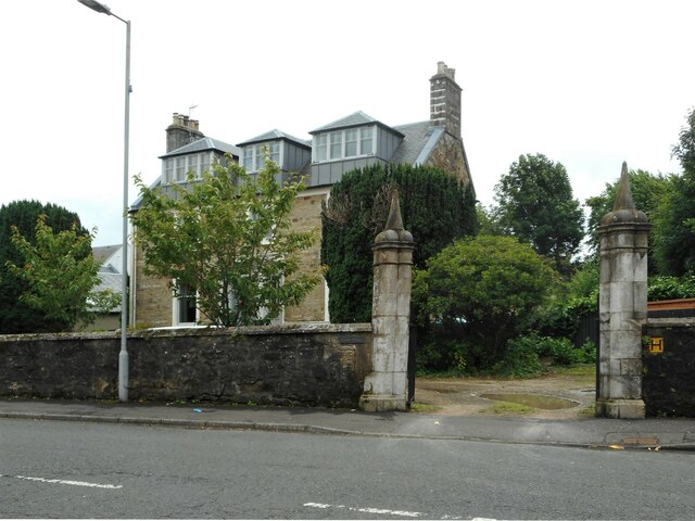
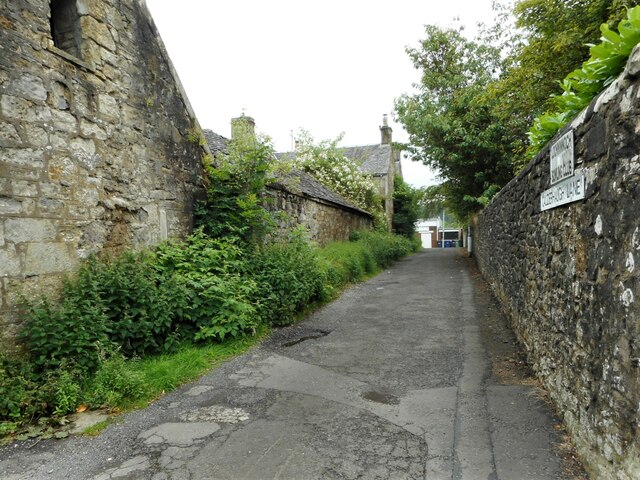
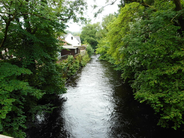
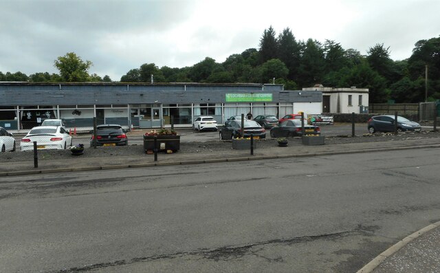
Barnbeth Hill Images

Images are sourced within 2km of 55.797563/-4.6621374 or Grid Reference NS3359. Thanks to Geograph Open Source API. All images are credited.

A walk by Dunconnel Hill
The 'Dumb Proctor' - Lochwinnoch Cemetery The 'Dumb Proctor' is a remnant of a medieval cross from the Govan School of carving, 1100AD. The cross originally stood on Crook Hill (NS 353 595) until the Reformation when the arms of the cross were broken off and buried. The Ewings, who were local farmers, uncovered the stone while ploughing. They attached it to a wall in their vegetable garden.
The 'Dumb Proctor' is now erected upon the burial ground of James Ewing in Lochwinnoch cemetery.

Heart of the Kingdom - The Dumb Proctor <span class="nowrap"><a title="https://earlymedievalgovan.wordpress.com/2013/02/14/the-dumb-proctor-of-lochwinnoch/" rel="nofollow ugc noopener" href="https://earlymedievalgovan.wordpress.com/2013/02/14/the-dumb-proctor-of-lochwinnoch/">Link</a><img style="margin-left:2px;" alt="External link" title="External link - shift click to open in new window" src="https://s1.geograph.org.uk/img/external.png" width="10" height="10"/></span>
The 'Dumb Proctor' - Lochwinnoch Cemetery
The 'Dumb Proctor' is a remnant of a medieval cross from the Govan School of carving, 1100AD. The cross originally stood on Crook Hill (NS 353 595) until the Reformation when the arms of the cross were broken off and buried. The Ewings, who were local farmers, uncovered the stone while ploughing. They attached it to a wall in their vegetable garden. The 'Dumb Proctor' is now erected upon the burial ground of James Ewing in Lochwinnoch cemetery. Heart of the Kingdom - The Dumb Proctor LinkExternal link
Barr Castle - Lochwinnoch Barr Castle was constructed in the early 16th century. It passed into the hands of the Hamiltons of Ferguslie at the end of the 16th century. They retained the castle until the late 18th century, when they sold and abandoned it for a new mansion.
Various inscriptions are carved into the fabric of Barr Castle. These include IW and MH on the pediment above the main entrance, IH and IC 1680 above the lintel at the head of the stair, and WO 1699 on the battlements. The carvings are the initials of various Hamilton Lairds of Barr, John Wallace and his wife Margaret Hamilton, John Hamilton. and Jean Cochrane.

Barr Castle is owed by Fergus Day Hort Macdowall, 27th of Garthland. He is the Chief of Clan Macdowall and the castle is regarded as the seat of Clan Macdowall.
Barr Castle - Lochwinnoch
Barr Castle was constructed in the early 16th century. It passed into the hands of the Hamiltons of Ferguslie at the end of the 16th century. They retained the castle until the late 18th century, when they sold and abandoned it for a new mansion. Various inscriptions are carved into the fabric of Barr Castle. These include IW and MH on the pediment above the main entrance, IH and IC 1680 above the lintel at the head of the stair, and WO 1699 on the battlements. The carvings are the initials of various Hamilton Lairds of Barr, John Wallace and his wife Margaret Hamilton, John Hamilton. and Jean Cochrane. Barr Castle is owed by Fergus Day Hort Macdowall, 27th of Garthland. He is the Chief of Clan Macdowall and the castle is regarded as the seat of Clan Macdowall.
House on Main Street, Lochwinnoch Dated 1897. See <a href="https://www.geograph.org.uk/photo/7541694">NS3558 : House on Main Street, Lochwinnoch</a> for a differeent view.
House on Main Street, Lochwinnoch
Dated 1897. See NS3558 : House on Main Street, Lochwinnoch for a differeent view.
The Brown Bull Public house on Main Street, Lochwinnoch.
The Brown Bull
Public house on Main Street, Lochwinnoch.
House on Main Street, Lochwinnoch Dated 1897. See <a href="https://www.geograph.org.uk/photo/7541616">NS3558 : House on Main Street, Lochwinnoch</a> for a different view.
House on Main Street, Lochwinnoch
Dated 1897. See NS3558 : House on Main Street, Lochwinnoch for a different view.
Lade Court Off Main Street, Lochwinnoch.
Lade Court
Off Main Street, Lochwinnoch.
Hunters Way Residential street off Main Street, Loch Winnoch.
Hunters Way
Residential street off Main Street, Loch Winnoch.
Calder House On Main Street, Lochwinnoch. Probably built in 1789 as the house for the manager of Calderhaugh Mill, which was just across the road. It is Category C listed <span class="nowrap"><a title="https://portal.historicenvironment.scot/designation/LB12619" rel="nofollow ugc noopener" href="https://portal.historicenvironment.scot/designation/LB12619">Link</a><img style="margin-left:2px;" alt="External link" title="External link - shift click to open in new window" src="https://s1.geograph.org.uk/img/external.png" width="10" height="10"/></span>.
Calder House
On Main Street, Lochwinnoch. Probably built in 1789 as the house for the manager of Calderhaugh Mill, which was just across the road. It is Category C listed LinkExternal link.
Calder House The gate piers and the house are Category C listed <span class="nowrap"><a title="https://portal.historicenvironment.scot/designation/LB12619" rel="nofollow ugc noopener" href="https://portal.historicenvironment.scot/designation/LB12619">Link</a><img style="margin-left:2px;" alt="External link" title="External link - shift click to open in new window" src="https://s1.geograph.org.uk/img/external.png" width="10" height="10"/></span>. The house was probably built in 1789 as the residence for the manager of Calderhaugh Mill, which was just across the road (Main Street, Lochwinnoch).
Calder House
The gate piers and the house are Category C listed LinkExternal link. The house was probably built in 1789 as the residence for the manager of Calderhaugh Mill, which was just across the road (Main Street, Lochwinnoch).
Calderhaugh Lane The lane leads to Lochwinnoch Bowling Club. The buildings on the left are the late 18th century Calderhaugh House and associated stables. They are Category B listed <span class="nowrap"><a title="https://portal.historicenvironment.scot/designation/LB12621" rel="nofollow ugc noopener" href="https://portal.historicenvironment.scot/designation/LB12621">Link</a><img style="margin-left:2px;" alt="External link" title="External link - shift click to open in new window" src="https://s1.geograph.org.uk/img/external.png" width="10" height="10"/></span>.
Calderhaugh Lane
The lane leads to Lochwinnoch Bowling Club. The buildings on the left are the late 18th century Calderhaugh House and associated stables. They are Category B listed LinkExternal link.
River Calder Looking upstream from Lochwinnoch Bridge.
River Calder
Looking upstream from Lochwinnoch Bridge.
Lochbarr Services Leisure Centre & Cafe A small family leisure business beside the A760, Newton of Barr. The building on the right is an electricity substation.
Lochbarr Services Leisure Centre & Cafe
A small family leisure business beside the A760, Newton of Barr. The building on the right is an electricity substation.
A760 at Lochwinnoch
A760 at Lochwinnoch
Calderhaugh House and stables The late 18th century Calderhaugh House and associated stables on Main Street, Lochwinnoch. They are Category B listed <span class="nowrap"><a title="https://portal.historicenvironment.scot/designation/LB12621" rel="nofollow ugc noopener" href="https://portal.historicenvironment.scot/designation/LB12621">Link</a><img style="margin-left:2px;" alt="External link" title="External link - shift click to open in new window" src="https://s1.geograph.org.uk/img/external.png" width="10" height="10"/></span>. One part of the stables is roofless.
Calderhaugh House and stables
The late 18th century Calderhaugh House and associated stables on Main Street, Lochwinnoch. They are Category B listed LinkExternal link. One part of the stables is roofless.
Calderhaugh Mill These are modern apartments attached to the original Calderhaugh Silk Mill, which is behind. The entrance to the cul-de-sac is flanked by gate piers which match those of Calder House on the opposite side of the road <a href="https://www.geograph.org.uk/photo/7541740">NS3558 : Calder House</a>.
Calderhaugh Mill
These are modern apartments attached to the original Calderhaugh Silk Mill, which is behind. The entrance to the cul-de-sac is flanked by gate piers which match those of Calder House on the opposite side of the road NS3558 : Calder House.
Cottage on Main Street, Lochwinnoch Late 18th century cottage, which is Category C listed <span class="nowrap"><a title="https://portal.historicenvironment.scot/designation/LB13833" rel="nofollow ugc noopener" href="https://portal.historicenvironment.scot/designation/LB13833">Link</a><img style="margin-left:2px;" alt="External link" title="External link - shift click to open in new window" src="https://s1.geograph.org.uk/img/external.png" width="10" height="10"/></span>.
Cottage on Main Street, Lochwinnoch
Late 18th century cottage, which is Category C listed LinkExternal link.
Houses and cottages on Main Street, Lochwinnoch
Show me another place!

Barnbeth Hill is located at Grid Ref: NS3359 (Lat: 55.797563, Lng: -4.6621374)

Unitary Authority: Renfrewshire

Police Authority: Renfrewshire and Inverclyde

What 3 Words

///readily.fund.taxpayers. Near Lochwinnoch, Renfrewshire

Related Wikis

Nether Mill

Nether Mill or the Nethermiln of Kilbirnie was originally the Barony of Kilbirnie corn mill and later became a meal mill as well, located in the Parish...

Barony of Ladyland

The Barony of Ladyland was in the old feudal Baillerie of Cunninghame, near Kilbirnie in what is now North Ayrshire, Scotland. == The history of the... ==

Meikle Millbank Mill

Millbank Mill or Meikle Millbank Mill was an old corn mill in Burnbank Glen overlooking the Barr Loch near Lochwinnoch in Renfrewshire, south-west Scotland...

Lochwinnoch

Lochwinnoch (; Scots: Lochineuch, Scottish Gaelic: Loch Uinneach) is a village in the council area and historic county of Renfrewshire in the west central...

Lochwinnoch (loop) railway station

Lochwinnoch railway station was a railway station serving the village of Lochwinnoch, Renfrewshire, Scotland. The station was part of the Dalry and North...

St John's Kirk, Lochwinnoch

St John's Kirk, also known as St Winnock's Church and, colloquially, Auld Simon (Old Simon), is a former church building in Lochwinnoch, Renfrewshire,...

Clyde Muirshiel Regional Park

Clyde Muirshiel Regional Park is the collective name for areas of countryside set aside for conservation and recreation on the South Clyde estuary in Scotland...

Castle Semple Rowing Club

Castle Semple Rowing Club is a rowing club on the Castle Semple Loch, based at Lochwinnoch, Renfrewshire, Central Lowlands, Scotland. The club is affiliated...

Related Videos

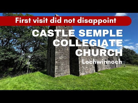
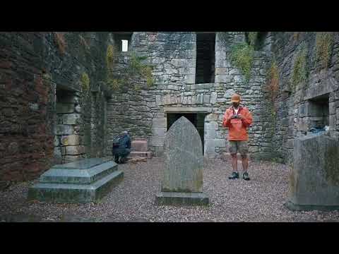
Historical Castle Semple Collegiate Church Hike - Lochwinnoch

Castle Semple Collegiate Church is located on the Semple Trail at Lochwinnoch, Renfrewshire. The Church is located approx 1 ...

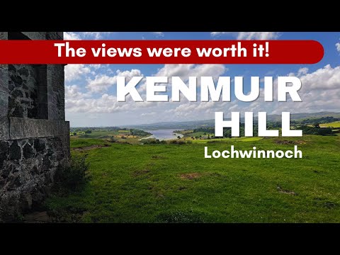
Kenmure Hill - Lochwinnoch

Kenmuir Hill is located near Lochwinnoch and is approx 2km from the start of the Semple Trail. At the top of Kenmure Hill there is ...

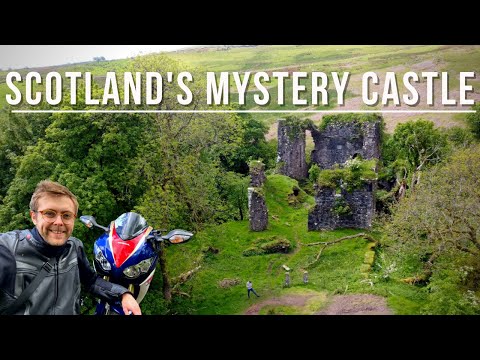
Scotland's Mystery Castle - Scotland by Superbike

I set off on a motorcycle trip in hunt of Glengarnock Castle, taking in the roads and views of Loch Thom on the way. An excellent ...

Nearby Amenities

Located within 500m of 55.797563,-4.6621374
Power: pole
Lat/Long: 55.7947157/-4.656957
Power: pole
Lat/Long: 55.7954546/-4.6567424
Power: pole
Lat/Long: 55.7961701/-4.6565341
Power: pole
Lat/Long: 55.7967545/-4.6559571
Power: pole
Lat/Long: 55.7974009/-4.6552655
Power: pole
Lat/Long: 55.798107/-4.6545322
Power: pole
Lat/Long: 55.7961104/-4.6577486
Power: pole
Lat/Long: 55.7960483/-4.6589902
Power: pole
Lat/Long: 55.7959874/-4.6601651
Power: pole
Lat/Long: 55.7959359/-4.6613671
Power: pole
Lat/Long: 55.7953996/-4.6622796
Power: pole
Lat/Long: 55.7948468/-4.6631878
Barnbeth Hill
Ele: 186
Natural: peak
Lat/Long: 55.7997711/-4.6638974
The data included in this document is from www.openstreetmap.org. The data is made available under ODbL.

Have you been to Barnbeth Hill?

Leave your review of Barnbeth Hill below (or comments, questions and feedback).