Dunconnel Hill

Hill, Mountain in Renfrewshire

Scotland

Dunconnel Hill

Lane above River Calder Narrow lane above the east side of the steep gorge formed by the River Calder as it plunges down into Lochwinnoch.
Lane above River Calder Credit: Mark Nightingale

Dunconnel Hill is an imposing geological formation located in Renfrewshire, Scotland. This hill, often referred to as Dunconnel Mountain due to its significant size, is situated about 4 miles northwest of the town of Paisley. Standing at an elevation of 722 feet (220 meters), it dominates the surrounding landscape and offers breathtaking panoramic views of the Renfrewshire countryside.

The hill is characterized by its distinctive conical shape, which is a result of its volcanic origin. Composed mainly of basaltic rock, Dunconnel Hill is part of the Midland Valley's volcanic complex, formed during the Carboniferous period around 350 million years ago. The hill's formation is a testament to Scotland's geological history and offers valuable insights into the region's ancient volcanic activity.

Dunconnel Hill is a popular destination for outdoor enthusiasts and nature lovers. It is traversed by well-established walking trails that cater to both experienced hikers and casual walkers. The hill's summit is accessible via a moderate ascent, offering visitors the opportunity to admire the stunning vistas that stretch as far as the eye can see.

The surrounding area is rich in biodiversity, with a variety of plant and animal species calling Dunconnel Hill home. The hillside is covered in heather and grasses, providing a habitat for numerous bird species, including the iconic red grouse. Additionally, the hill is known for its historical significance, with remnants of ancient settlements and burial sites dating back thousands of years.

Overall, Dunconnel Hill is a remarkable natural landmark in Renfrewshire, offering visitors a chance to explore Scotland's geological heritage, enjoy outdoor activities, and appreciate the beauty of the surrounding landscape.

If you have any feedback on the listing, please let us know in the comments section below.

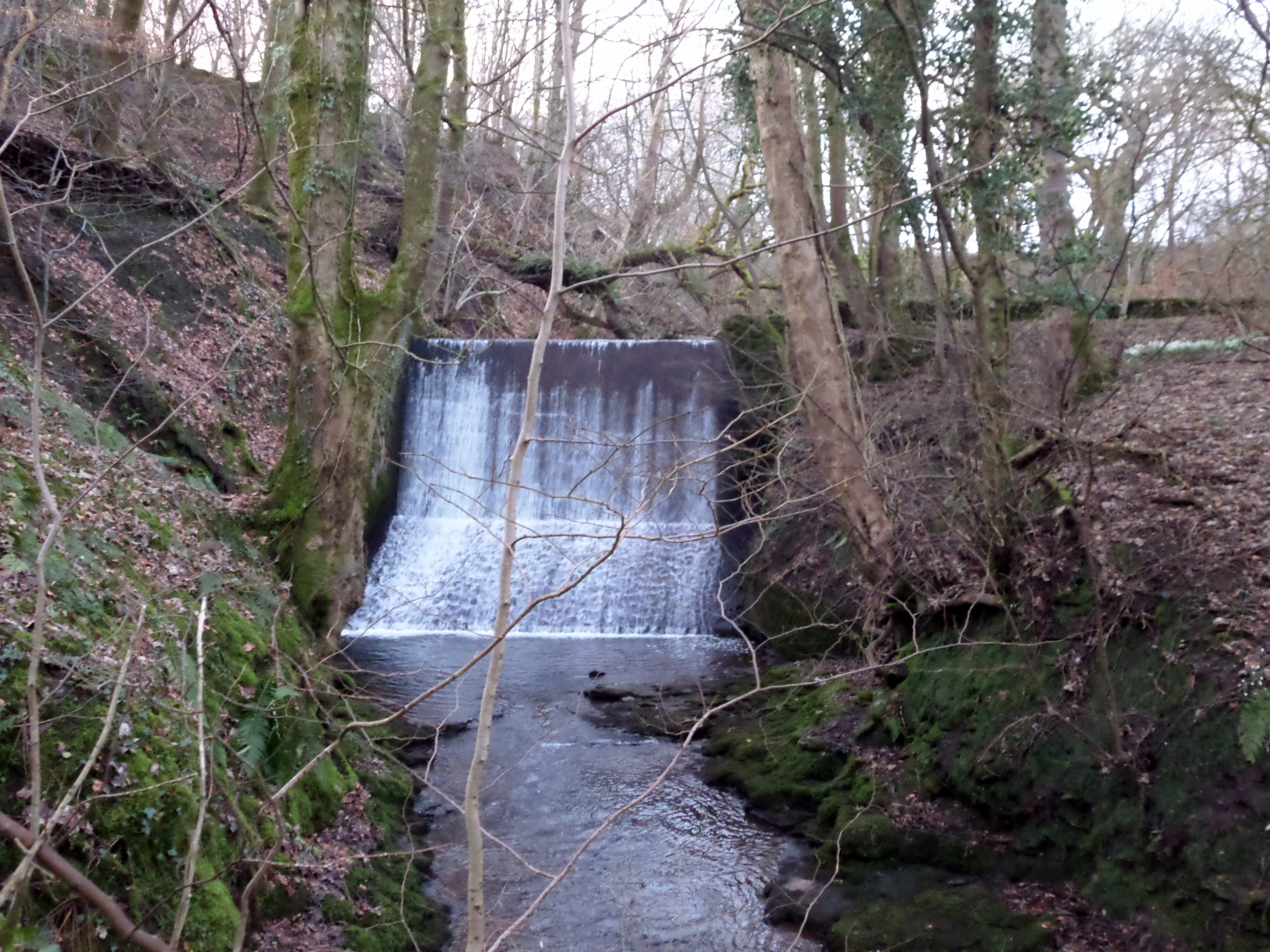
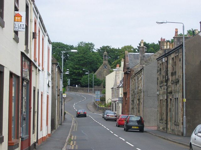
Dunconnel Hill Images

Images are sourced within 2km of 55.799787/-4.6640286 or Grid Reference NS3359. Thanks to Geograph Open Source API. All images are credited.

Lane above River Calder Narrow lane above the east side of the steep gorge formed by the River Calder as it plunges down into Lochwinnoch.
Lane above River Calder
Narrow lane above the east side of the steep gorge formed by the River Calder as it plunges down into Lochwinnoch.
River Calder from the air Kaim Dam is to the right, Lochwinnoch is just out of sight at the bottom of the photo. Part of Clyde Muirshiel Regional Park.
River Calder from the air
Kaim Dam is to the right, Lochwinnoch is just out of sight at the bottom of the photo. Part of Clyde Muirshiel Regional Park.
Small woodland near Lochwinnoch A triangle of roadside land on a minor road heading into the hills.
Small woodland near Lochwinnoch
A triangle of roadside land on a minor road heading into the hills.
Westhills to Easthills A farm road passes what looks like a television mast.
Westhills to Easthills
A farm road passes what looks like a television mast.
Edge of  a new woodland A young woodland, but old enough to be on the maps (it is not yet). A muddy outlook during a very prolonged wet spell.
Edge of a new woodland
A young woodland, but old enough to be on the maps (it is not yet). A muddy outlook during a very prolonged wet spell.
A young woodland A well established wood, planted on former agricultural land.
A young woodland
A well established wood, planted on former agricultural land.
Waterfall Calder Glen Lochwinnoch
Approaching road junction near Barr Castle
Through the trees into Lochwinnoch
Lochwinnoch School We always called this building the big school
Lochwinnoch School
We always called this building the big school
Avro Anson Remains Near Lairdside Hill A shot of the remains of the Anson.  In the distance, the Garnock valley can be noted.
Avro Anson Remains Near Lairdside Hill
A shot of the remains of the Anson. In the distance, the Garnock valley can be noted.
Armstrong Siddeley Cheetah Engine One of two Cheetahs remaining at the Anson crash site near Lairdside Hill.
Armstrong Siddeley Cheetah Engine
One of two Cheetahs remaining at the Anson crash site near Lairdside Hill.
Avro Anson Undercarriage Remains Undercarriage remains with an Armstrong Siddeley Cheetah engine visible to the right in the middle distance.
Avro Anson Undercarriage Remains
Undercarriage remains with an Armstrong Siddeley Cheetah engine visible to the right in the middle distance.
'The Triangle' at the end of Muirfauldhouse
Garpel Burn and Lairdside Hill
Twisted larch on The Ward
Boundary of Glenlora Estate View looking South toward Kilbirnie from hill alongside boundary of Glenlora Estate. Grey roofed green walled building in middle distance is next to the now-empty Maich fishery. Castle Hill is at right edge of picture.
Boundary of Glenlora Estate
View looking South toward Kilbirnie from hill alongside boundary of Glenlora Estate. Grey roofed green walled building in middle distance is next to the now-empty Maich fishery. Castle Hill is at right edge of picture.
Dunconnel Hill Dunconnel Hill, from the SE side, above Lochwinnoch. Taken on a misty October day in 2013. The hill is the site of an Iron Age enclosure and some artifacts have been found there. The hill has a good all-round view so is a great location for a defensive position.
Dunconnel Hill
Dunconnel Hill, from the SE side, above Lochwinnoch. Taken on a misty October day in 2013. The hill is the site of an Iron Age enclosure and some artifacts have been found there. The hill has a good all-round view so is a great location for a defensive position.
Show me another place!

Dunconnel Hill is located at Grid Ref: NS3359 (Lat: 55.799787, Lng: -4.6640286)

Unitary Authority: Renfrewshire

Police Authority: Renfrewshire and Inverclyde

What 3 Words

///headliner.jiggle.pointed. Near Lochwinnoch, Renfrewshire

Related Wikis

Nether Mill

Nether Mill or the Nethermiln of Kilbirnie was originally the Barony of Kilbirnie corn mill and later became a meal mill as well, located in the Parish...

Barony of Ladyland

The Barony of Ladyland was in the old feudal Baillerie of Cunninghame, near Kilbirnie in what is now North Ayrshire, Scotland. == The history of the... ==

Meikle Millbank Mill

Millbank Mill or Meikle Millbank Mill was an old corn mill in Burnbank Glen overlooking the Barr Loch near Lochwinnoch in Renfrewshire, south-west Scotland...

Lochwinnoch

Lochwinnoch (; Scots: Lochineuch, Scottish Gaelic: Loch Uinneach) is a village in the council area and historic county of Renfrewshire in the west central...

Nearby Amenities

Located within 500m of 55.799787,-4.6640286
Power: pole
Lat/Long: 55.7959874/-4.6601651
Power: pole
Lat/Long: 55.7959359/-4.6613671
Power: pole
Lat/Long: 55.7953996/-4.6622796
Barnbeth Hill
Ele: 186
Natural: peak
Lat/Long: 55.7997711/-4.6638974
The data included in this document is from www.openstreetmap.org. The data is made available under ODbL.

Have you been to Dunconnel Hill?

Leave your review of Dunconnel Hill below (or comments, questions and feedback).