Ghlas-Bheinn

Hill, Mountain in Sutherland

Scotland

Ghlas-Bheinn

Road towards Carbreck The A838 heading south towards Rhiconich.
Road towards Carbreck Credit: Gordon Hatton

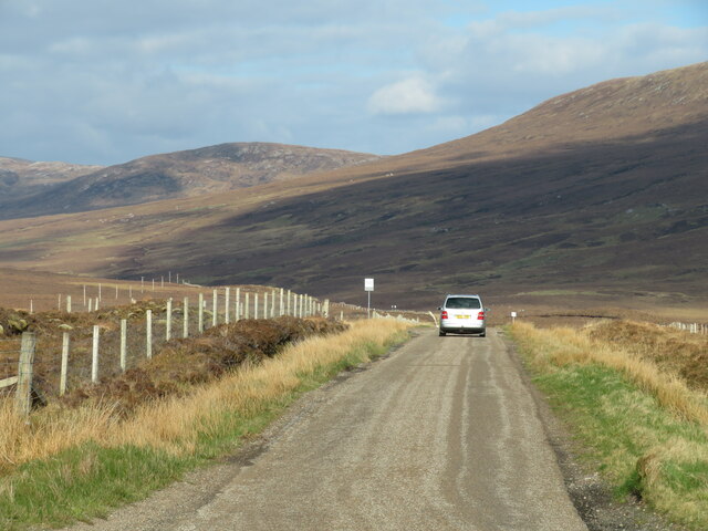
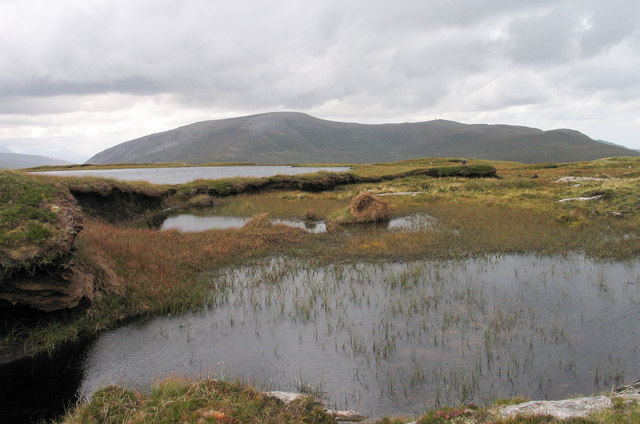
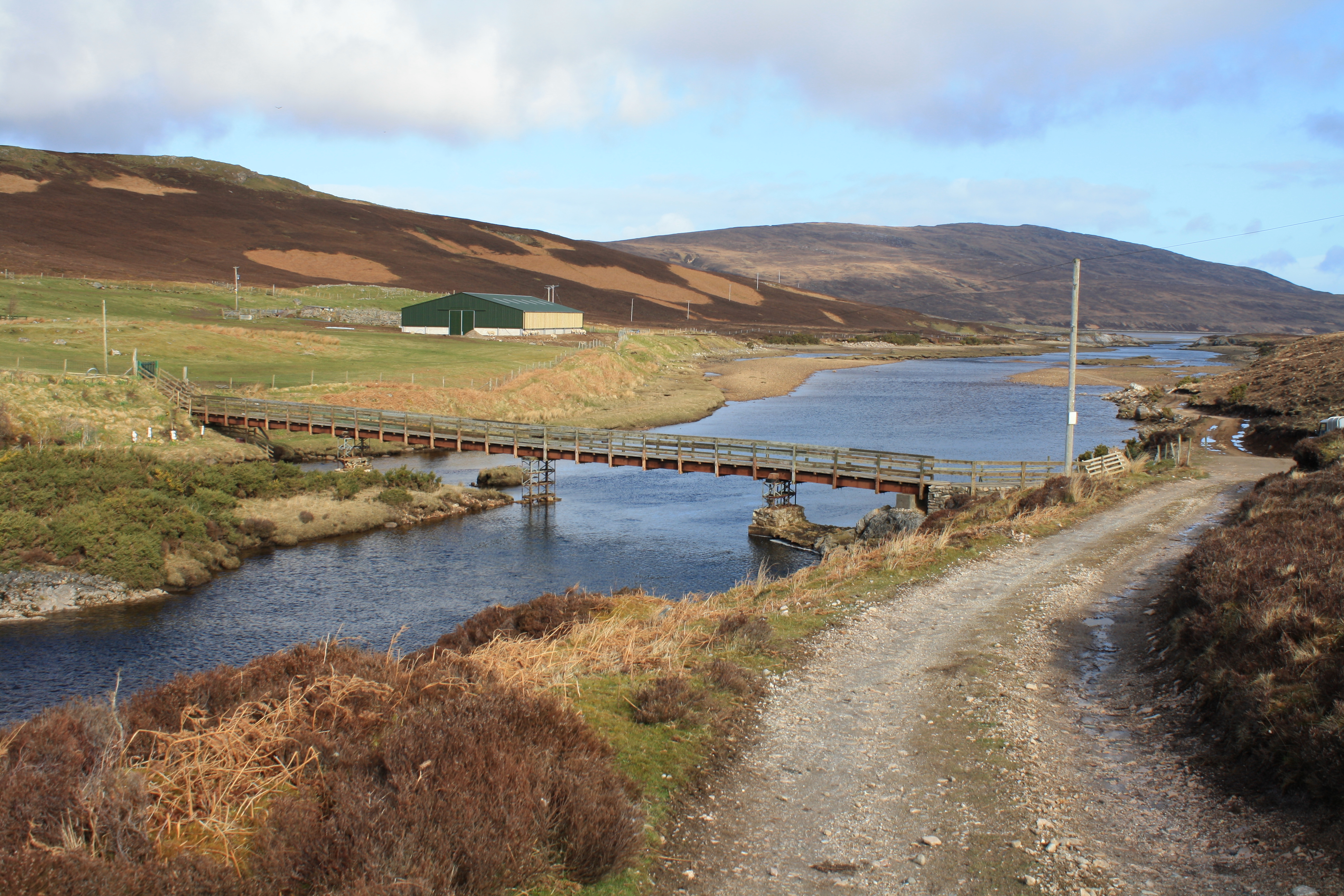
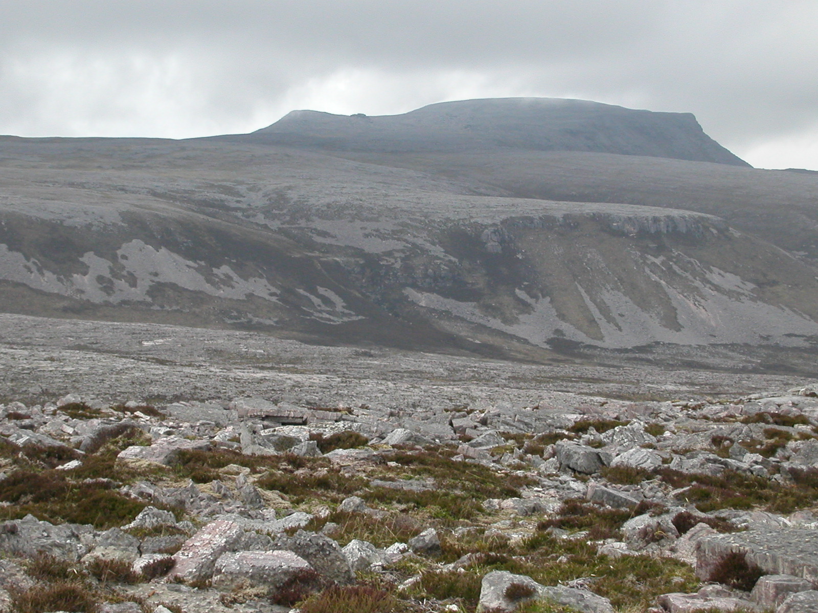
Ghlas-Bheinn is a prominent hill located in the county of Sutherland, Scotland. It is part of the Northwest Highlands, a region known for its stunning landscapes and rugged terrains. Standing at an elevation of approximately 862 meters (2,828 feet), Ghlas-Bheinn offers breathtaking panoramic views of the surrounding area.

This hill is situated within the Sutherland estate, which is managed by the Forestry and Land Scotland. The estate is characterized by its diverse flora and fauna, providing a habitat for various wildlife species. Visitors to Ghlas-Bheinn may have the chance to spot red deer, golden eagles, and a variety of bird species as they hike through the area.

The ascent to Ghlas-Bheinn can be challenging, with steep sections and rocky terrain. However, the reward at the summit is well worth the effort. On a clear day, one can enjoy sweeping vistas of the surrounding mountains, lochs, and glens, including views of Ben Wyvis and the Fannichs.

Hiking enthusiasts often venture to Ghlas-Bheinn to conquer its summit and experience the raw beauty of the Scottish Highlands. It is recommended to come prepared with appropriate gear, as weather conditions can change rapidly, and the terrain can be demanding.

Overall, Ghlas-Bheinn offers a memorable outdoor experience for nature lovers and adventurers seeking to immerse themselves in the untamed wilderness of Sutherland.

If you have any feedback on the listing, please let us know in the comments section below.

Ghlas-Bheinn Images

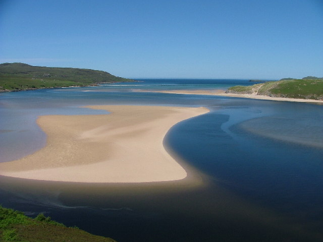
Images are sourced within 2km of 58.509119/-4.8644792 or Grid Reference NC3361. Thanks to Geograph Open Source API. All images are credited.

Road towards Carbreck The A838 heading south towards Rhiconich.
Road towards Carbreck
The A838 heading south towards Rhiconich.
Boggy lochan, Cnoc an Fhreiceadain Looking towards Farmheall.
Boggy lochan, Cnoc an Fhreiceadain
Looking towards Farmheall.
Cnoc an Fhreiceadain This broad ridge is covered with boggy lochans.
Cnoc an Fhreiceadain
This broad ridge is covered with boggy lochans.
Balloch Balloch is a ruined cottage at the foot of the western slope of Ghlas-bheinn, close to the col with Farrmheall.
The distant hill, lying to the north-west, is Creag Riabhach.
Balloch
Balloch is a ruined cottage at the foot of the western slope of Ghlas-bheinn, close to the col with Farrmheall. The distant hill, lying to the north-west, is Creag Riabhach.
Water and peat banks at summit of Ghlas-bheinn The farther water is a sizeable lochan lying south-west from the hill summit which is behind the camera position; the nearer areas of water are smaller in extent. Farrmheall is the distant hill.
Water and peat banks at summit of Ghlas-bheinn
The farther water is a sizeable lochan lying south-west from the hill summit which is behind the camera position; the nearer areas of water are smaller in extent. Farrmheall is the distant hill.
Sutherland moors near Kyle of Durness
Road out of Durness You can see the road and Farrmheall. this is typical ground round here (went up to my knees a few time)
Road out of Durness
You can see the road and Farrmheall. this is typical ground round here (went up to my knees a few time)
Allt Ghlas-bheinn A narrow burn on moorland in front of the hill Ghlas-bheinn.
Allt Ghlas-bheinn
A narrow burn on moorland in front of the hill Ghlas-bheinn.
Moorland east of Ghlas-bheinn Boggy moorland grazed by sheep.
Moorland east of Ghlas-bheinn
Boggy moorland grazed by sheep.
Allt Ghlas-bheinn On moorland east of Ghlas-bheinn.
Allt Ghlas-bheinn
On moorland east of Ghlas-bheinn.
Moorland west of Cnoc an Fhreiceadain Looking across to the northern ridge of Farrmheall.
Moorland west of Cnoc an Fhreiceadain
Looking across to the northern ridge of Farrmheall.
Moorland north of Cnoc an Fhreiceadain Looking over Am Bealach.
Moorland north of Cnoc an Fhreiceadain
Looking over Am Bealach.
Lower slopes of Maovally More
Upper reaches of the Grudie River Also called Abhainn an Lòin.
Upper reaches of the Grudie River
Also called Abhainn an Lòin.
Drainage on the moor above the Grudie River
Deer grass choked burn feeding the Grudie River The moor stretches to Ghlas-bheinn beyond.
Deer grass choked burn feeding the Grudie River
The moor stretches to Ghlas-bheinn beyond.
A burn rising on Ben Akie
Tributary of the Grudie River The stream-side here is well enough drained to allow bracken to take a hold, unlike the land around which holds water constantly.
Tributary of the Grudie River
The stream-side here is well enough drained to allow bracken to take a hold, unlike the land around which holds water constantly.
Show me another place!

Ghlas-Bheinn is located at Grid Ref: NC3361 (Lat: 58.509119, Lng: -4.8644792)

Unitary Authority: Highland

Police Authority: Highlands and Islands

What 3 Words

///gave.outraged.waged. Near Oldshoremore, Highland

Nearby Locations

Ghlas-Bheinn

Related Wikis

River Dionard

The River Dionard is a river in the historic county of Sutherland in northwest Scotland. It arises as the outflow from Loch Dionard which lies below the...

Beinn Spionnaidh

Beinn Spionnaidh is a mountain of 773 m in Sutherland, the northwestern tip of the Scottish Highlands. It is a Corbett located west of Loch Eriboll and...

Cranstackie

Cranstackie is a mountain of 802 metres (2,631 ft) in Sutherland, the northwestern tip of the Scottish Highlands. It is a Corbett located west of Loch...

Kyle of Durness

Kyle of Durness is a coastal inlet on the north coast of Scotland in the county of Sutherland. It extends 5+1⁄2 miles (9 kilometres) inland from Balnakeil...

Nearby Amenities

Located within 500m of 58.509119,-4.8644792
Ghlas-bheinn
Corbett: no
Ele: 333
Graham: no
Marilyn: yes
Munro: no
Natural: peak
Prominence: 156
Wikidata: Q24643710
Lat/Long: 58.5093913/-4.8642112
The data included in this document is from www.openstreetmap.org. The data is made available under ODbL.

Have you been to Ghlas-Bheinn?

Leave your review of Ghlas-Bheinn below (or comments, questions and feedback).