Hill
Settlement in Pembrokeshire
Wales
Hill
The requested URL returned error: 429 Too Many Requests
If you have any feedback on the listing, please let us know in the comments section below.
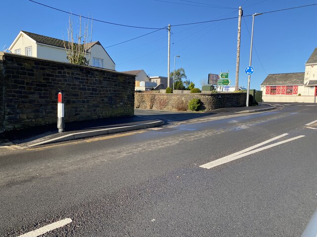
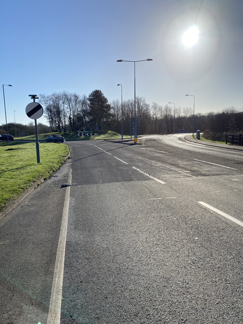
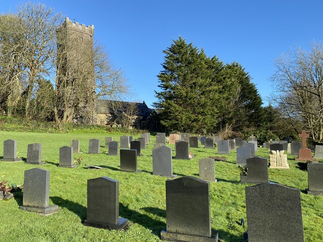
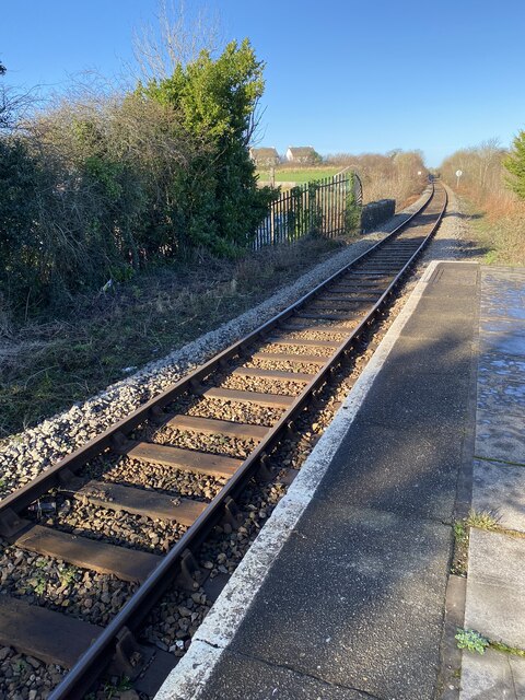
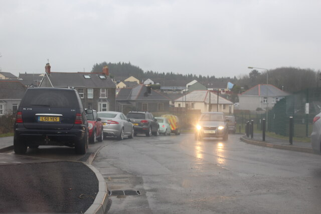
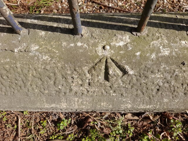
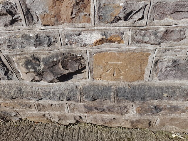
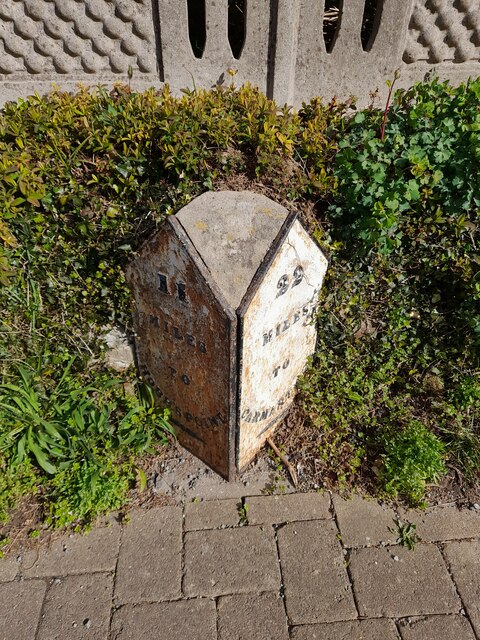
Hill Images
Images are sourced within 2km of 51.722947/-4.720616 or Grid Reference SN1206. Thanks to Geograph Open Source API. All images are credited.


Hill is located at Grid Ref: SN1206 (Lat: 51.722947, Lng: -4.720616)
Unitary Authority: Pembrokeshire
Police Authority: Dyfed Powys
What 3 Words
///pointed.stables.tilts. Near Kilgetty, Pembrokeshire
Nearby Locations
Related Wikis
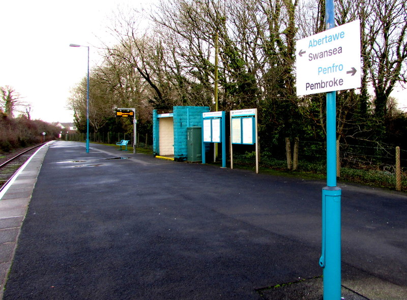
Saundersfoot railway station
Saundersfoot railway station is 1 mile (1.6 km) from Saundersfoot, Pembrokeshire, Wales. It is managed by Transport for Wales Rail. It is usually a request...

Pentlepoir
Pentlepoir is a village in Pembrokeshire, Wales, approximately 3⁄4 mile (1.2 km) south of Kilgetty and 1 mile (1.6 km) west of Saundersfoot. The A478...
Kilgetty
Kilgetty (Welsh: Cilgeti; ) is a village immediately north of Saundersfoot in Pembrokeshire, Wales, at the junction of the A477 between St. Clears and...

Kilgetty railway station
Kilgetty railway station serves Kilgetty in Pembrokeshire, Wales. The station is a request stop so passengers wishing to alight should make their intentions...
Nearby Amenities
Located within 500m of 51.722947,-4.720616Have you been to Hill?
Leave your review of Hill below (or comments, questions and feedback).