King's Moor
Downs, Moorland in Pembrokeshire
Wales
King's Moor
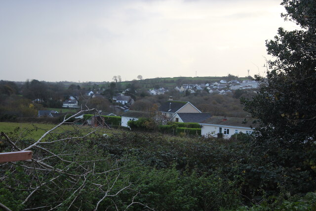
King's Moor is a captivating area of downs and moorland located in the county of Pembrokeshire in Wales. Situated in the southwestern part of the county, it covers an expansive area of approximately 1,500 acres. The moor is characterized by its undulating landscape, consisting of vast stretches of heather, gorse, and grassland, interspersed with rocky outcrops and small streams.
One of the most striking features of King's Moor is its breathtaking panoramic views. From elevated points, visitors can feast their eyes on the stunning vistas of the surrounding countryside, with the majestic Preseli Hills to the north and the shimmering waters of the Irish Sea to the west. These vistas provide a mesmerizing backdrop for walkers, hikers, and nature enthusiasts who flock to the moor to explore its beauty.
The moor is home to a diverse range of plant and animal species, making it a haven for wildlife enthusiasts. Birdwatchers can spot a plethora of avian species, including red kites, buzzards, skylarks, and stonechats. The moor also supports a rich variety of flora, with vibrant displays of heather and gorse in the summer months.
King's Moor offers a plethora of recreational activities for outdoor enthusiasts. Walkers and hikers can explore the well-marked trails that crisscross the moor, ranging from gentle strolls to more challenging routes. The area also provides ample opportunities for picnicking, photography, and wildlife spotting.
Overall, King's Moor is a captivating destination that showcases the natural beauty and biodiversity of Pembrokeshire. Its stunning landscapes, diverse wildlife, and range of outdoor activities make it a must-visit location for nature lovers and adventurers alike.
If you have any feedback on the listing, please let us know in the comments section below.
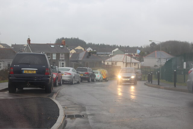
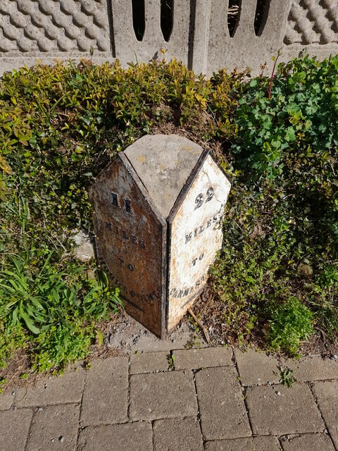
King's Moor Images
Images are sourced within 2km of 51.727045/-4.7231793 or Grid Reference SN1206. Thanks to Geograph Open Source API. All images are credited.


King's Moor is located at Grid Ref: SN1206 (Lat: 51.727045, Lng: -4.7231793)
Unitary Authority: Pembrokeshire
Police Authority: Dyfed Powys
What 3 Words
///magazines.spout.skips. Near Kilgetty, Pembrokeshire
Nearby Locations
Related Wikis

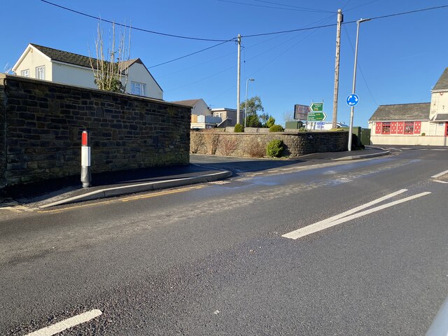
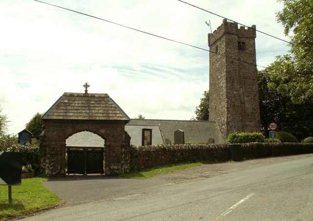
Kilgetty
Kilgetty (Welsh: Cilgeti; ) is a village immediately north of Saundersfoot in Pembrokeshire, Wales, at the junction of the A477 between St. Clears and...
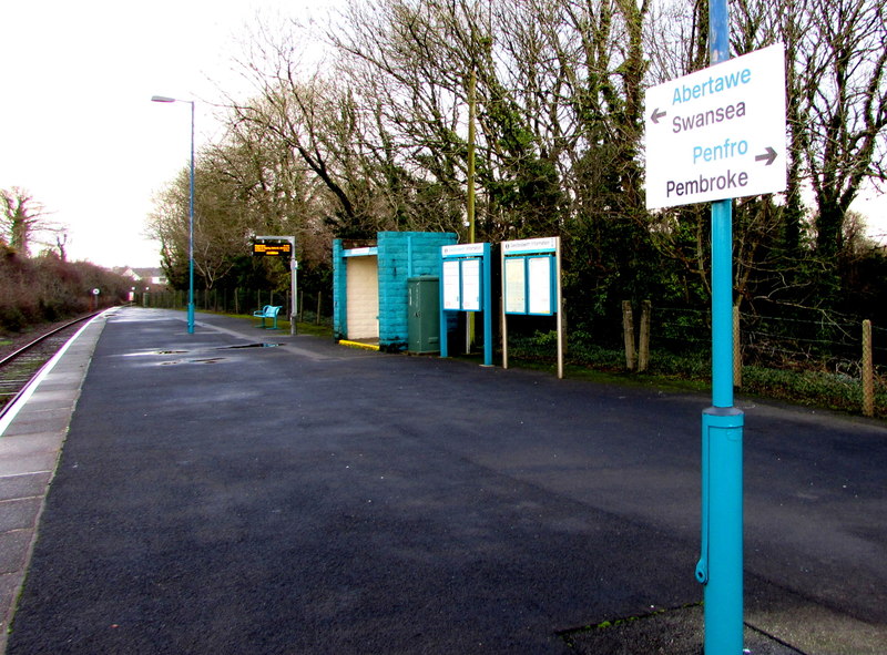
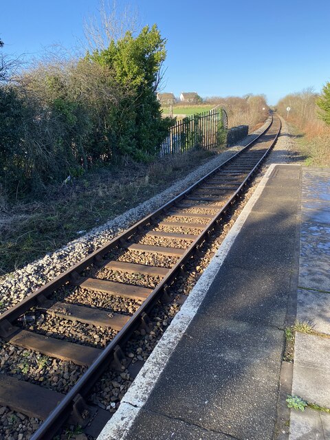
Saundersfoot railway station
Saundersfoot railway station is 1 mile (1.6 km) from Saundersfoot, Pembrokeshire, Wales. It is managed by Transport for Wales Rail. It is usually a request...
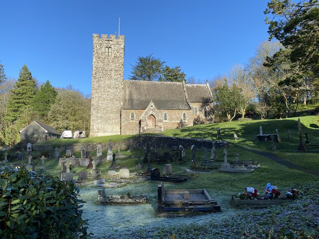
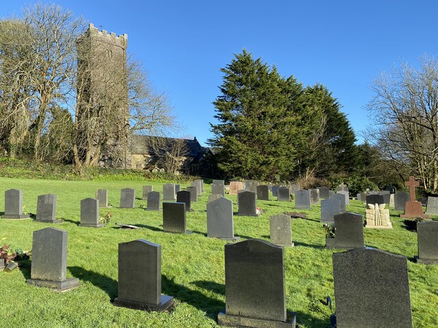
Begelly
Begelly (Welsh: Begeli) is a village and parish in south Pembrokeshire, Wales, 4.3 miles (6.9 km) north of Tenby on the A478 road. The parish includes...
Pentlepoir
Pentlepoir is a village in Pembrokeshire, Wales, approximately 3⁄4 mile (1.2 km) south of Kilgetty and 1 mile (1.6 km) west of Saundersfoot. The A478...
Nearby Amenities
Located within 500m of 51.727045,-4.7231793Have you been to King's Moor?
Leave your review of King's Moor below (or comments, questions and feedback).