Kingsmoor
Settlement in Pembrokeshire
Wales
Kingsmoor
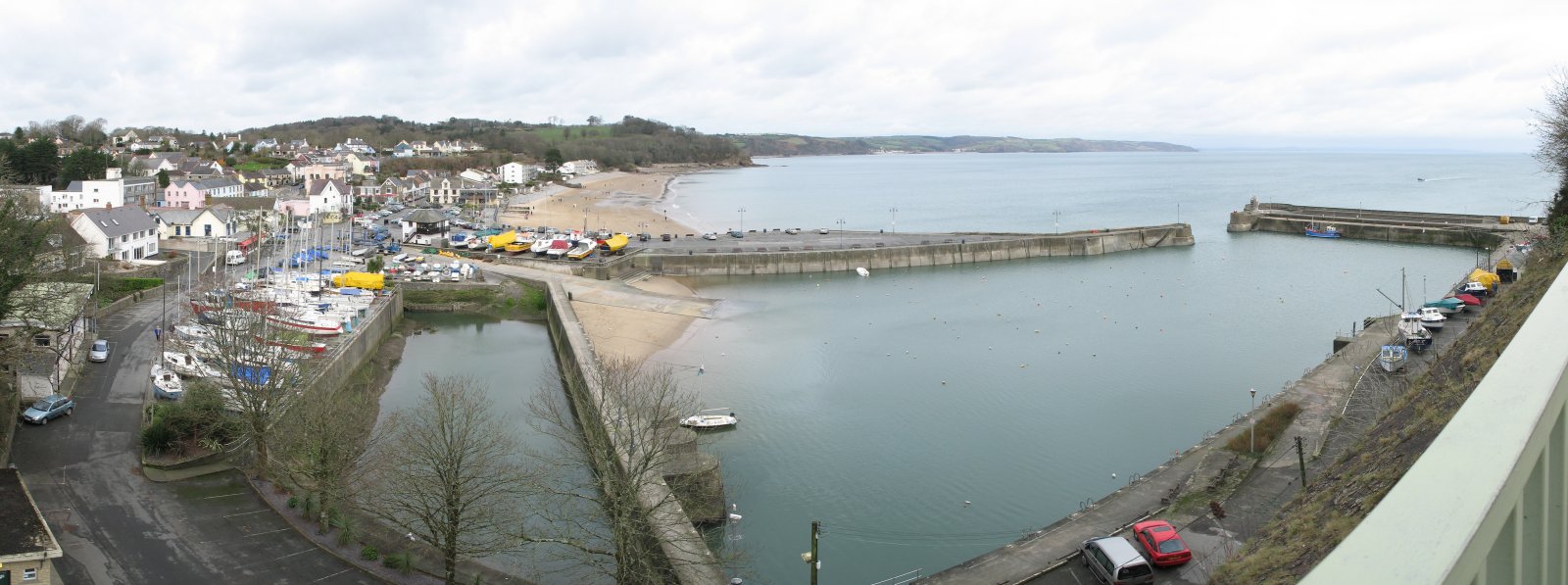
Kingsmoor is a small village located in the county of Pembrokeshire, Wales. Situated in the southwestern part of the country, Kingsmoor is surrounded by picturesque countryside and offers a tranquil and idyllic setting. The village is situated near the town of Haverfordwest, which is approximately 6 miles away, providing residents with access to a range of amenities and services.
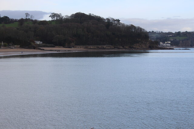
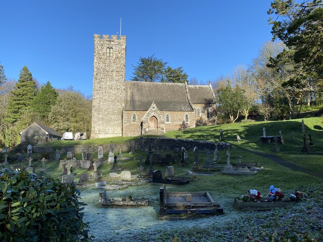
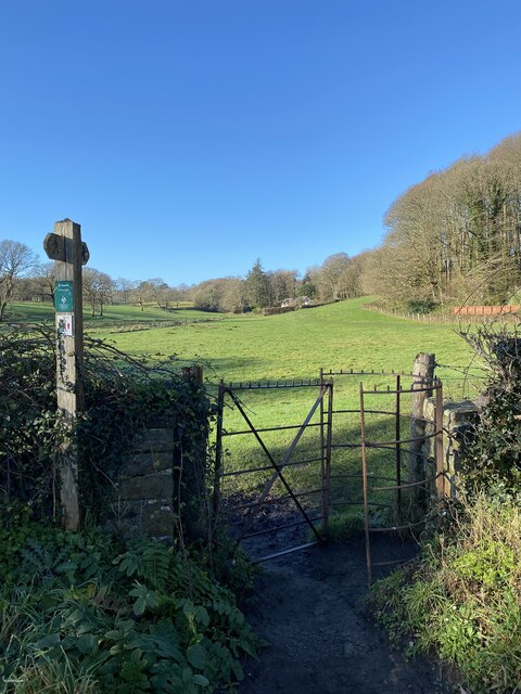
Kingsmoor is known for its natural beauty, with rolling hills, lush green fields, and charming country lanes. The village is predominantly residential, with a small population of close-knit residents. The architecture in Kingsmoor is typically traditional, with many stone-built houses and cottages scattered throughout the area.
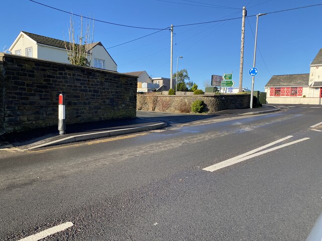
Despite its rural location, Kingsmoor benefits from good transportation links, with several major roads connecting the village to nearby towns and cities. This makes it an attractive place to live for those seeking a peaceful countryside lifestyle while still having access to urban facilities.
The surrounding area offers plenty of opportunities for outdoor activities, such as walking, cycling, and horse riding. The Pembrokeshire Coast National Park is nearby, providing stunning coastal scenery and a variety of wildlife habitats to explore.
In summary, Kingsmoor is a charming village in Pembrokeshire, known for its natural beauty, tranquility, and close community. With its picturesque surroundings and convenient location, it offers an appealing place to live for those seeking a peaceful and rural lifestyle.
If you have any feedback on the listing, please let us know in the comments section below.
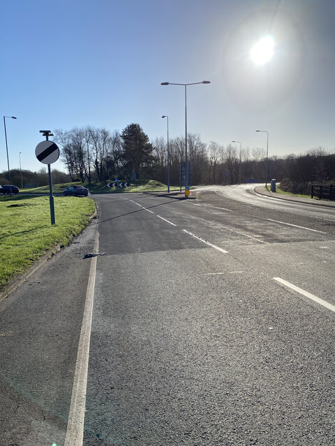
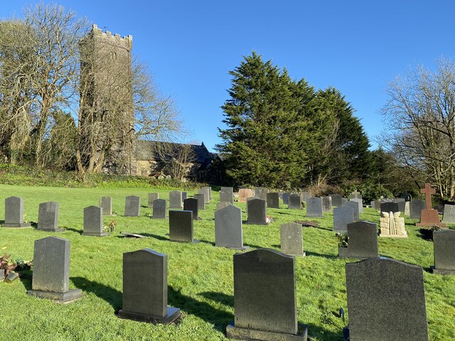
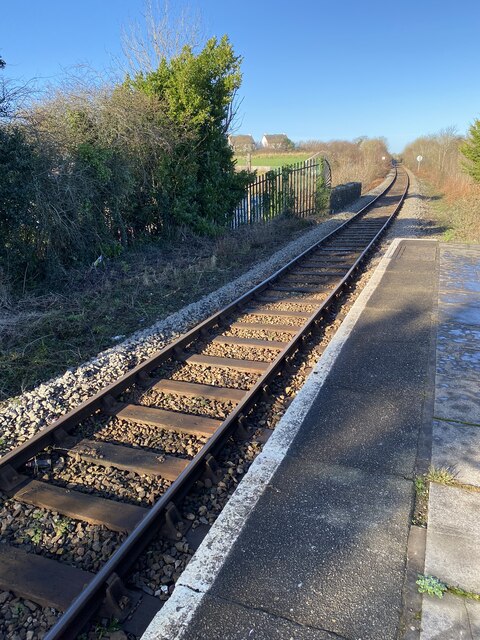
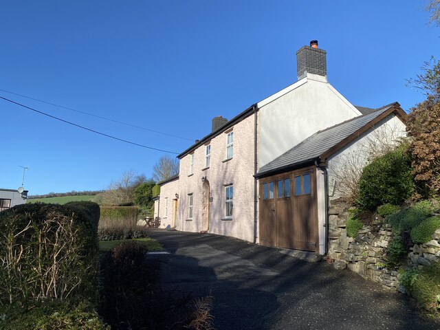
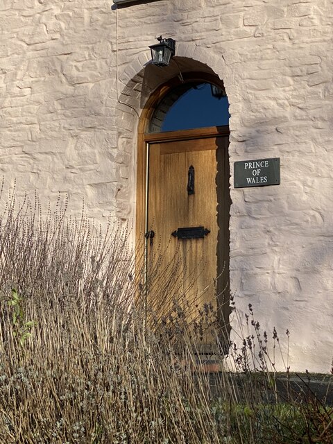
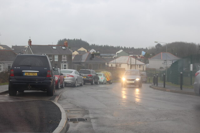
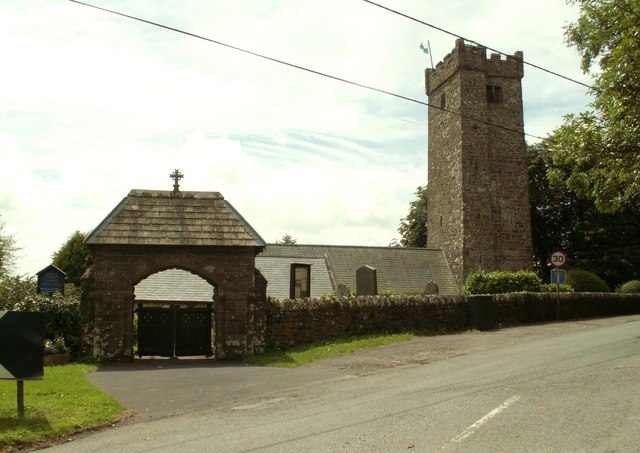
Kingsmoor Images
Images are sourced within 2km of 51.725893/-4.7169699 or Grid Reference SN1206. Thanks to Geograph Open Source API. All images are credited.
Kingsmoor is located at Grid Ref: SN1206 (Lat: 51.725893, Lng: -4.7169699)
Unitary Authority: Pembrokeshire
Police Authority: Dyfed Powys
What 3 Words
///courage.practical.call. Near Kilgetty, Pembrokeshire
Nearby Locations
Related Wikis
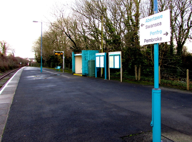
Saundersfoot railway station
Saundersfoot railway station is 1 mile (1.6 km) from Saundersfoot, Pembrokeshire, Wales. It is managed by Transport for Wales Rail. It is usually a request...

Kilgetty
Kilgetty (Welsh: Cilgeti; ) is a village immediately north of Saundersfoot in Pembrokeshire, Wales, at the junction of the A477 between St. Clears and...

Kilgetty railway station
Kilgetty railway station serves Kilgetty in Pembrokeshire, Wales. The station is a request stop so passengers wishing to alight should make their intentions...
Pentlepoir
Pentlepoir is a village in Pembrokeshire, Wales, approximately 3⁄4 mile (1.2 km) south of Kilgetty and 1 mile (1.6 km) west of Saundersfoot. The A478...
Begelly
Begelly (Welsh: Begeli) is a village and parish in south Pembrokeshire, Wales, 4.3 miles (6.9 km) north of Tenby on the A478 road. The parish includes...

Sardis, southeast Pembrokeshire
Sardis is a small village in Pembrokeshire, belonging to the Community of Saundersfoot. It lies just south of Stepaside and northwest of Wisemans Bridge...
Stepaside, Pembrokeshire
Stepaside is a village six miles north of Tenby, Pembrokeshire, in the community and parish of Amroth. The population in the 2011 census was 619. Once...
Saundersfoot
Saundersfoot (Welsh: Llanusyllt; Old Welsh: Llanussyllt) is a large village and community (and former electoral ward) in Pembrokeshire, Wales. It is near...
Nearby Amenities
Located within 500m of 51.725893,-4.7169699Have you been to Kingsmoor?
Leave your review of Kingsmoor below (or comments, questions and feedback).