Court Hill
Hill, Mountain in Ayrshire
Scotland
Court Hill
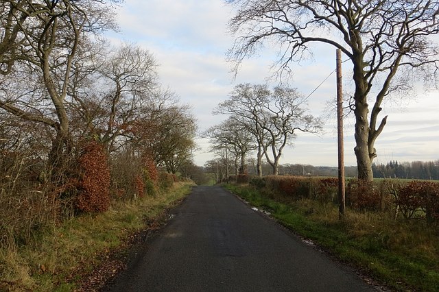
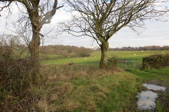
Court Hill is a prominent hill located in Ayrshire, Scotland. Situated near the town of Mauchline, it offers breathtaking panoramic views of the surrounding countryside. With an elevation of approximately 340 meters (1,115 feet), Court Hill is not classified as a mountain, but rather a sizable hill.
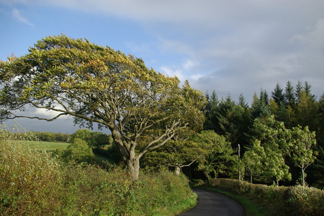
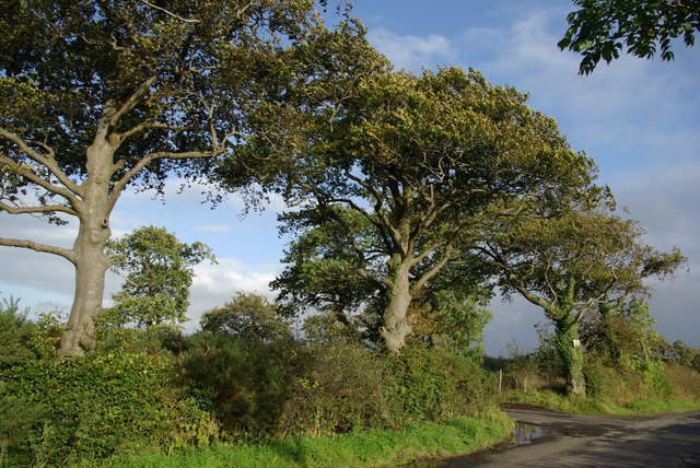
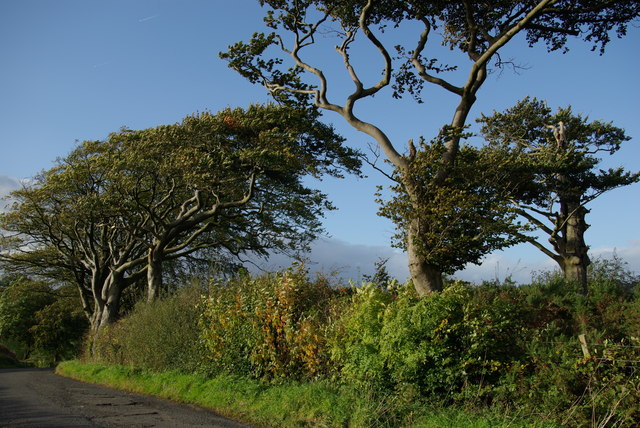
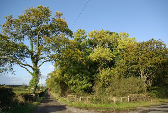
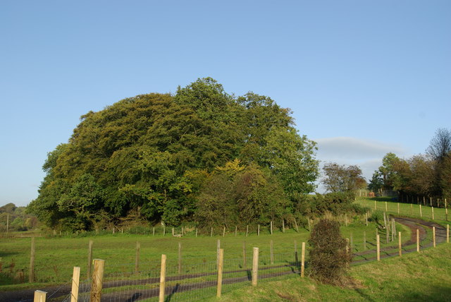
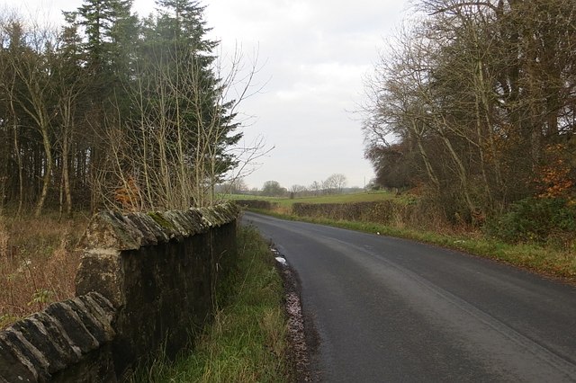
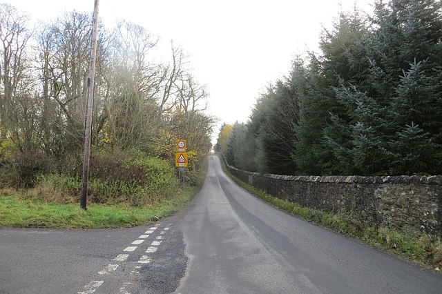
The hill is a popular destination for outdoor enthusiasts and nature lovers, attracting hikers, walkers, and photographers. Its well-defined paths and trails make it accessible to visitors of various fitness levels. The ascent to the summit is relatively gentle, providing a pleasant and enjoyable experience for those seeking a moderate challenge.
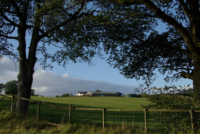
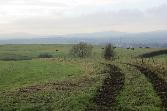
At the top of Court Hill, visitors are rewarded with stunning vistas that stretch across the rolling hills of Ayrshire. On clear days, it is possible to see as far as the Firth of Clyde and the Isle of Arran in the distance. The breathtaking scenery, coupled with the tranquility of the area, makes Court Hill an ideal spot for relaxation and contemplation.
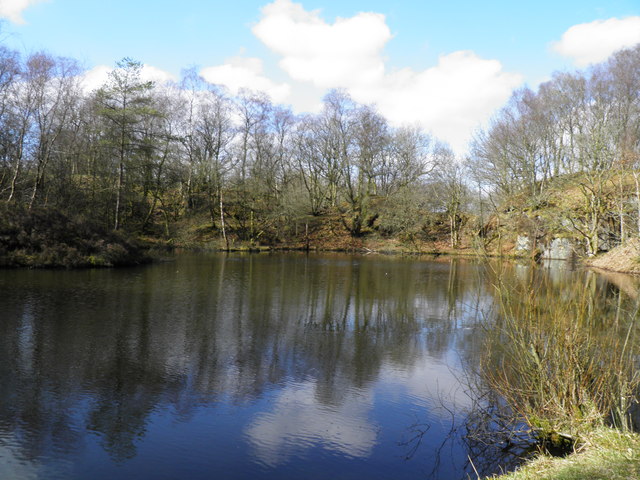
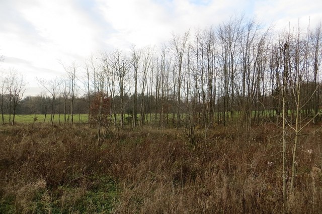
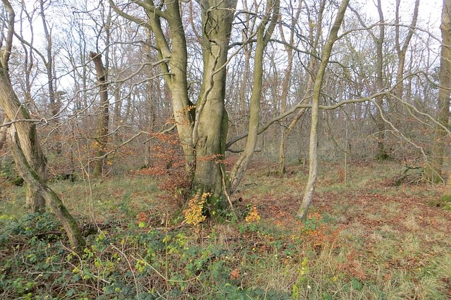
The hill is also home to a diverse range of flora and fauna. The surrounding woodlands and fields support a variety of plant species, including heather, bracken, and wildflowers, which add to the natural beauty of the area. Wildlife enthusiasts may be fortunate enough to spot various bird species, such as buzzards and kestrels, as well as rabbits and deer.
In summary, Court Hill in Ayrshire, Scotland, is a picturesque hill offering stunning views, well-maintained trails, and a rich natural environment. It provides an excellent opportunity for outdoor activities and a peaceful escape from the hustle and bustle of daily life.
If you have any feedback on the listing, please let us know in the comments section below.
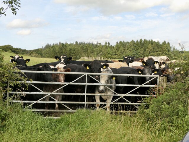
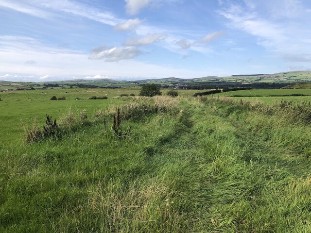
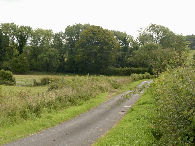
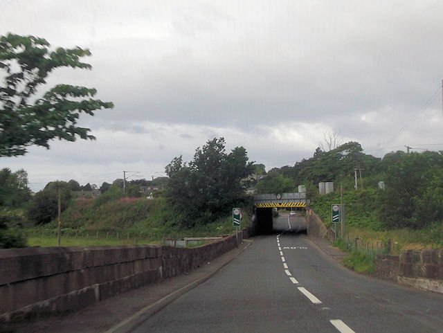
Court Hill Images
Images are sourced within 2km of 55.696547/-4.6980273 or Grid Reference NS3048. Thanks to Geograph Open Source API. All images are credited.
Court Hill is located at Grid Ref: NS3048 (Lat: 55.696547, Lng: -4.6980273)
Unitary Authority: North Ayrshire
Police Authority: Ayrshire
What 3 Words
///composes.simulator.outcasts. Near Dalry, North Ayrshire
Nearby Locations
Related Wikis

Dalry Junction railway station
Dalry Junction railway station was a railway station near the town of Dalry, North Ayrshire, Scotland. The station was originally part of the Glasgow,...

Caaf Water
The Caaf Water in western Scotland (Keaff in 1747 also Caff) drains from the Caaf Reservoir above Dalry which is fed from Knockendon Reservoir. The Caaf...
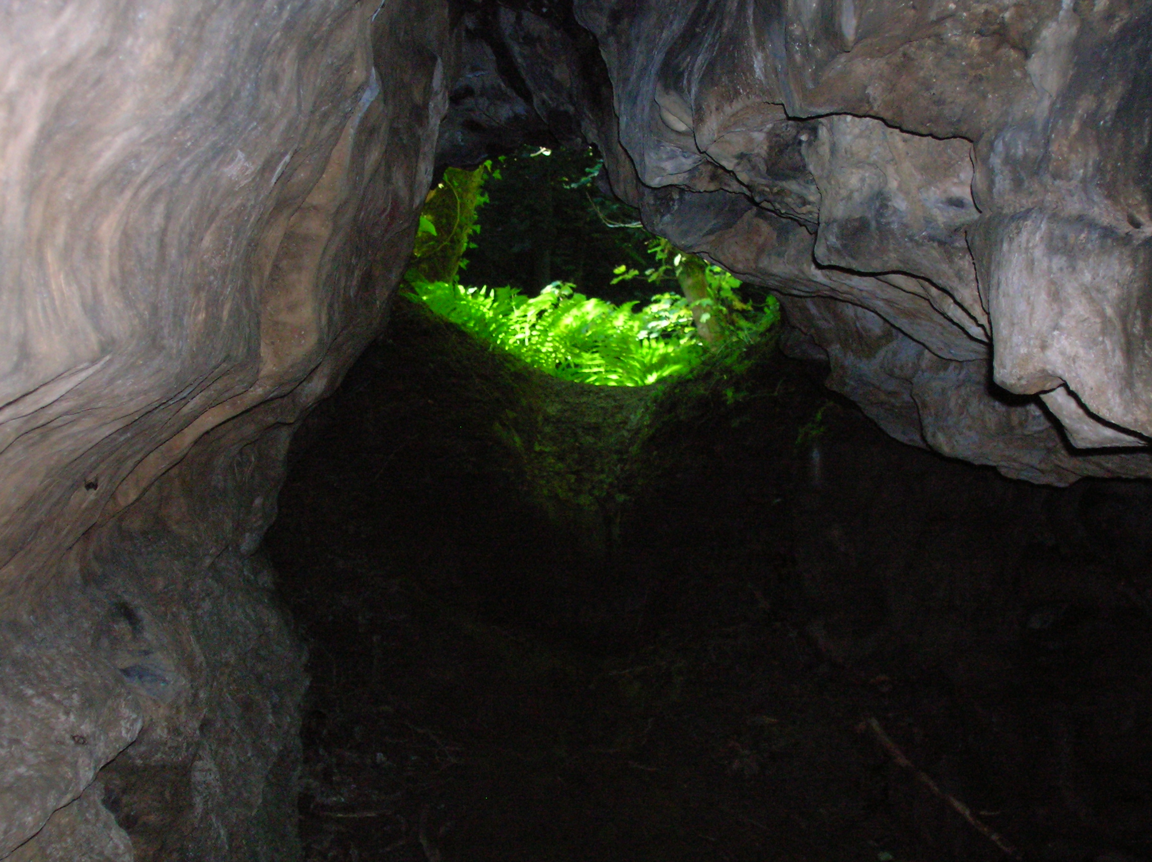
Cleeves Cove
Cleeves Cove or Blair Cove is a solutional cave system on the Dusk Water in North Ayrshire, Scotland, close to the town of Dalry. == Cave system == The...

Dalry railway station
Dalry railway station is a railway station serving the town of Dalry, North Ayrshire, Scotland. The station is managed by ScotRail and is on the Ayrshire...
Related Videos

The Lover's Walk A scenic walking trail in Dalry, Scotland
The Lover's Walk in Dalry, Scotland, is a footpath that has existed in part since the 19th century. It runs alongside the river Garnock ...

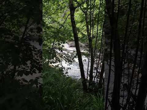
Scotland: Hiking in Lynn Glen - A trail with picturesque waterfalls
A short walk in a picturesque wooded glen in Dalry, Ayrshire, Scotland. The trail passes scenic waterfalls, sheer drops and ...
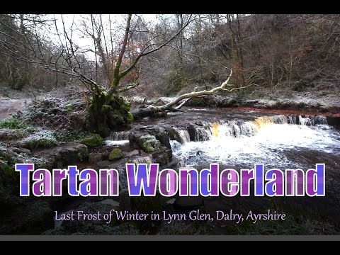
Last Frost of Winter in Lynn Glen, Dalry, Ayrshire
Welcome to the green and pleasant land of Lynn Glen, Dalry, Ayrshire, Scotland, where nature's beauty shines even on the ...
Nearby Amenities
Located within 500m of 55.696547,-4.6980273Have you been to Court Hill?
Leave your review of Court Hill below (or comments, questions and feedback).