Blairland Wood
Wood, Forest in Ayrshire
Scotland
Blairland Wood
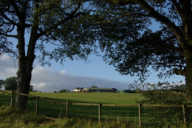
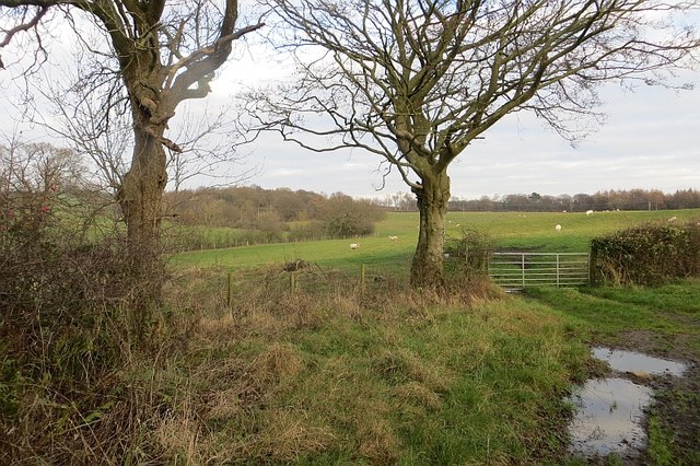
Blairland Wood is a picturesque woodland located in Ayrshire, Scotland. Covering an area of approximately 200 acres, it is renowned for its natural beauty and diverse flora and fauna. The wood is situated in the southern part of Ayrshire, close to the village of Dalrymple.
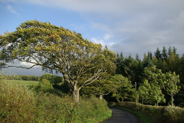
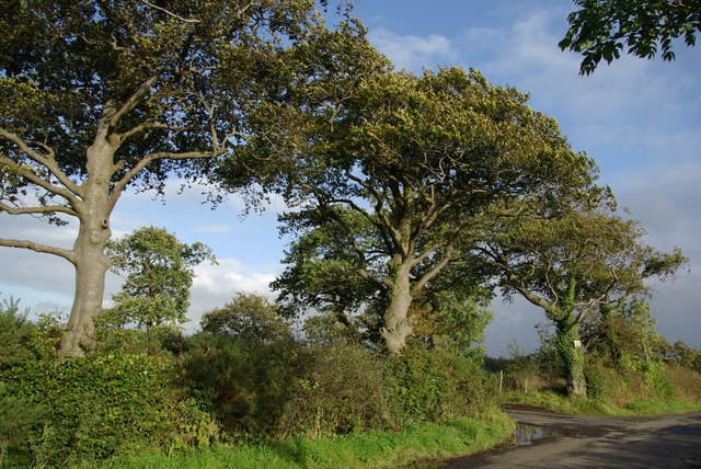
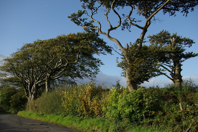
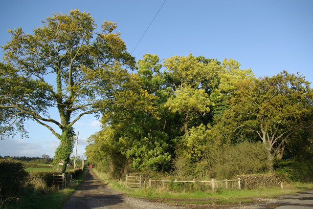
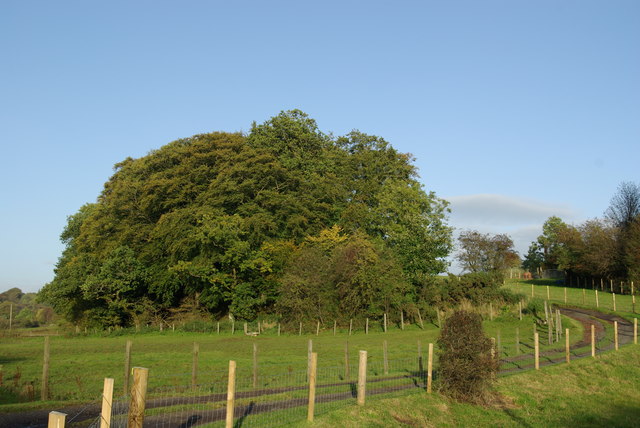
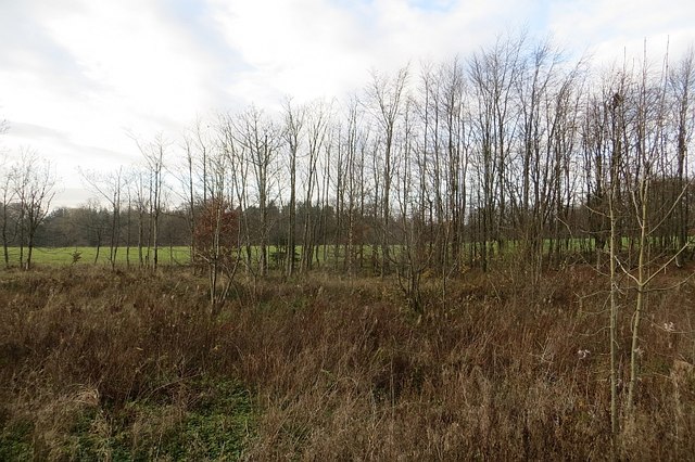
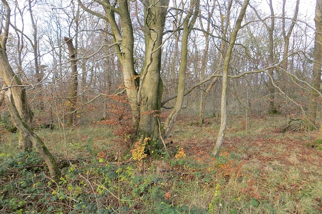
The woodland is predominantly composed of a mix of broadleaf trees, including oak, ash, beech, and birch. These trees provide a lush canopy, creating a peaceful and tranquil atmosphere within the wood. The forest floor is covered with a rich carpet of wildflowers, ferns, and mosses, adding to the enchanting ambiance.
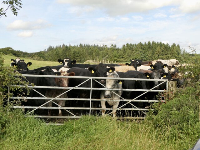
Blairland Wood is home to a variety of wildlife, making it a popular destination for nature enthusiasts and birdwatchers. Visitors may spot common woodland species such as red squirrels, badgers, and roe deer. The wood also attracts a range of bird species, including woodpeckers, owls, and various songbirds.
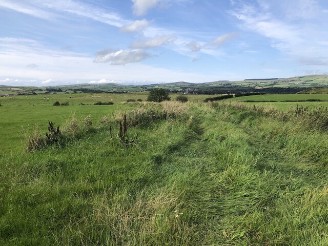
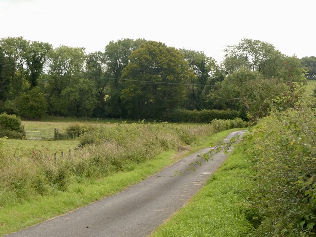
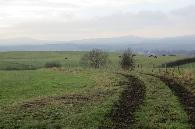
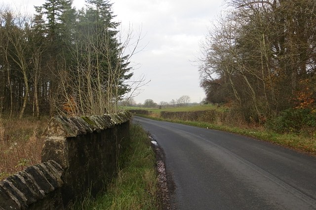
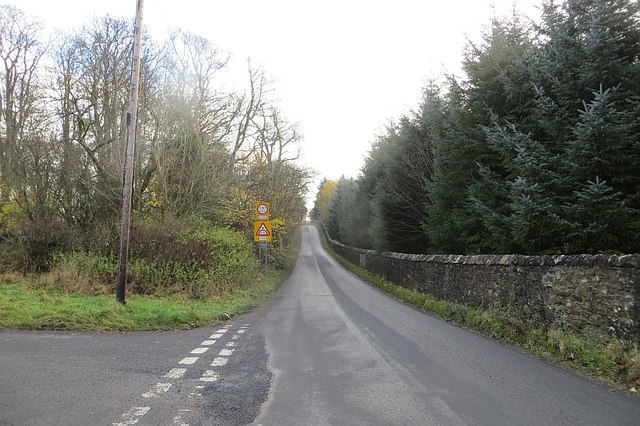
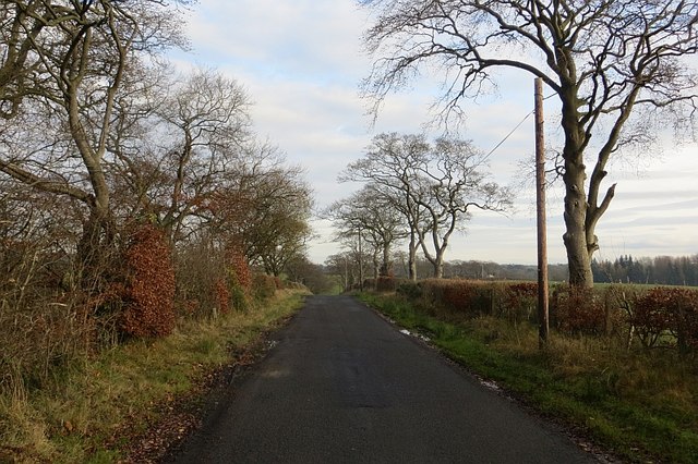
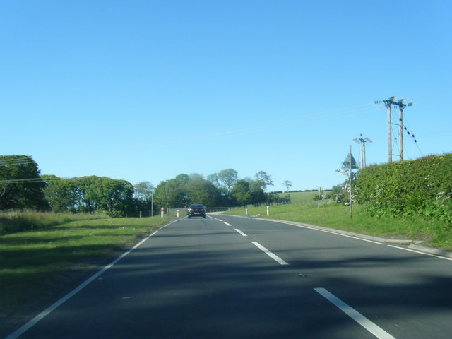
There are several well-maintained walking trails throughout the woodland, allowing visitors to explore its beauty at their leisure. These trails offer stunning views of the surrounding countryside and provide opportunities for wildlife spotting and photography.
Blairland Wood is a designated Site of Special Scientific Interest (SSSI), highlighting its ecological importance and conservation value. The wood is managed by local authorities and conservation organizations to ensure its preservation for future generations to enjoy.
Overall, Blairland Wood is a natural haven, offering a peaceful escape from the hustle and bustle of everyday life. Its abundant wildlife, diverse vegetation, and scenic trails make it a must-visit destination for those seeking a connection with nature.
If you have any feedback on the listing, please let us know in the comments section below.
Blairland Wood Images
Images are sourced within 2km of 55.699178/-4.7030632 or Grid Reference NS3048. Thanks to Geograph Open Source API. All images are credited.
Blairland Wood is located at Grid Ref: NS3048 (Lat: 55.699178, Lng: -4.7030632)
Unitary Authority: North Ayrshire
Police Authority: Ayrshire
What 3 Words
///rinses.skate.framework. Near Dalry, North Ayrshire
Nearby Locations
Related Wikis

Dalry Junction railway station
Dalry Junction railway station was a railway station near the town of Dalry, North Ayrshire, Scotland. The station was originally part of the Glasgow,...

Caaf Water
The Caaf Water in western Scotland (Keaff in 1747 also Caff) drains from the Caaf Reservoir above Dalry which is fed from Knockendon Reservoir. The Caaf...

Dalry railway station
Dalry railway station is a railway station serving the town of Dalry, North Ayrshire, Scotland. The station is managed by ScotRail and is on the Ayrshire...
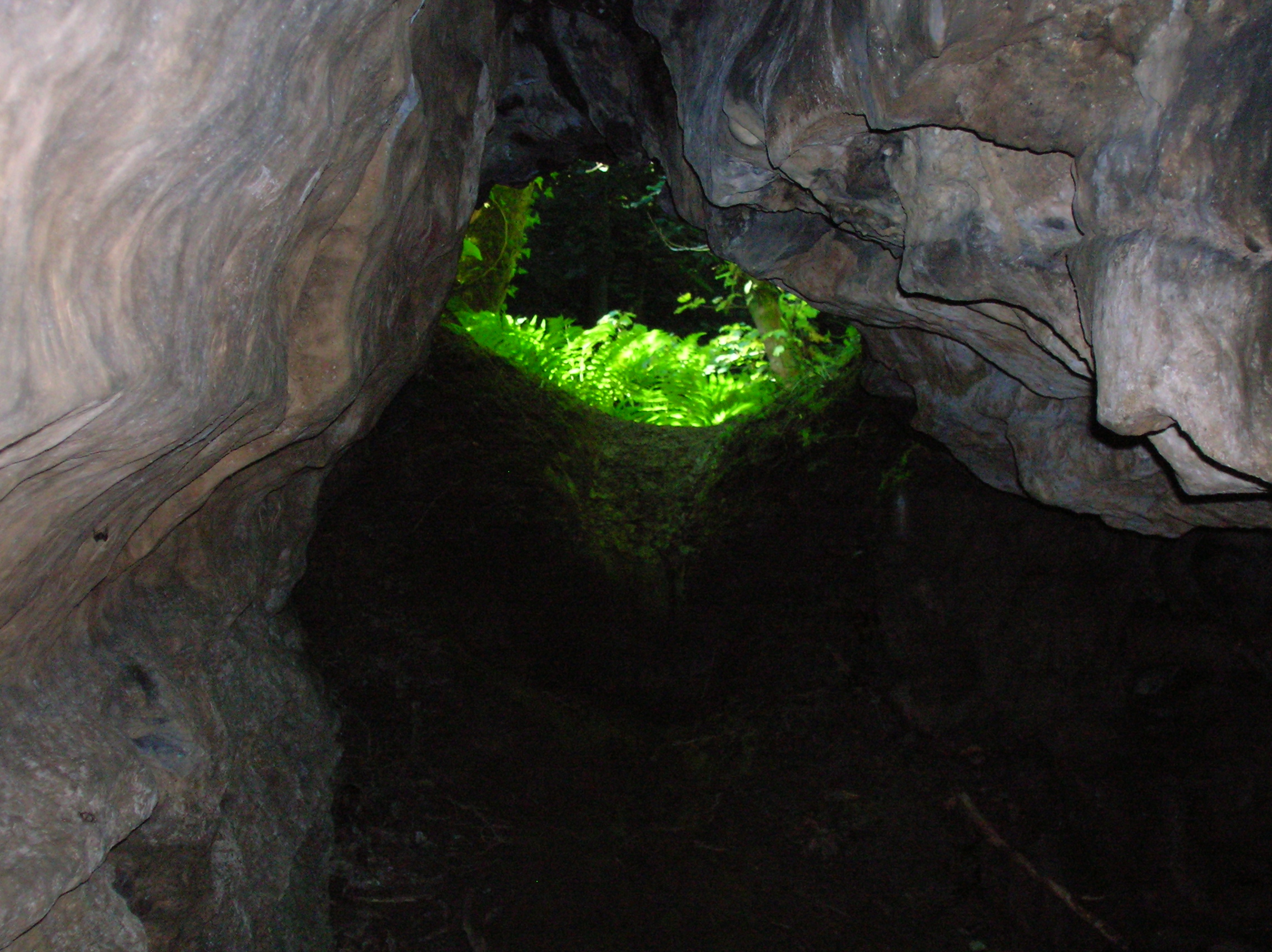
Cleeves Cove
Cleeves Cove or Blair Cove is a solutional cave system on the Dusk Water in North Ayrshire, Scotland, close to the town of Dalry. == Cave system == The...
Nearby Amenities
Located within 500m of 55.699178,-4.7030632Have you been to Blairland Wood?
Leave your review of Blairland Wood below (or comments, questions and feedback).