Mains Wood

Wood, Forest in Ayrshire

Scotland

Mains Wood

Culroy Nr Ayr
Culroy Nr Ayr Credit: Chris

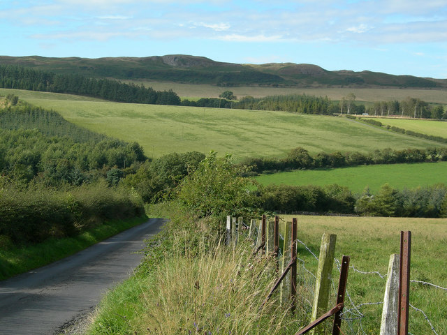
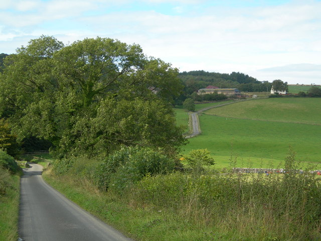
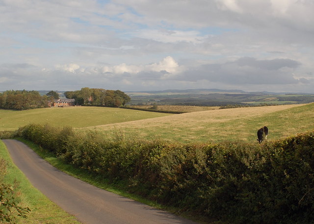
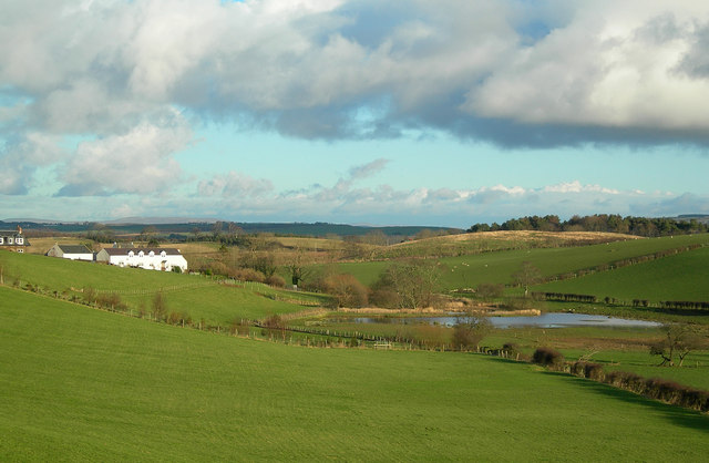
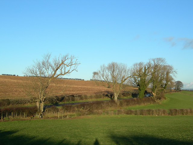
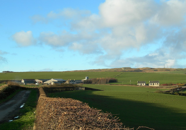
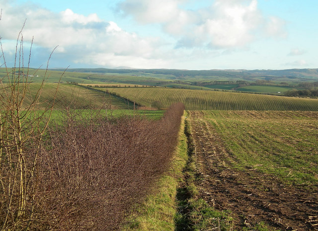
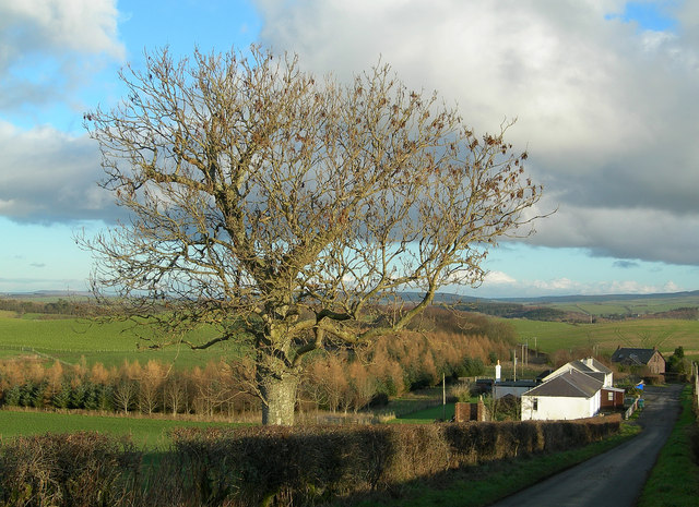
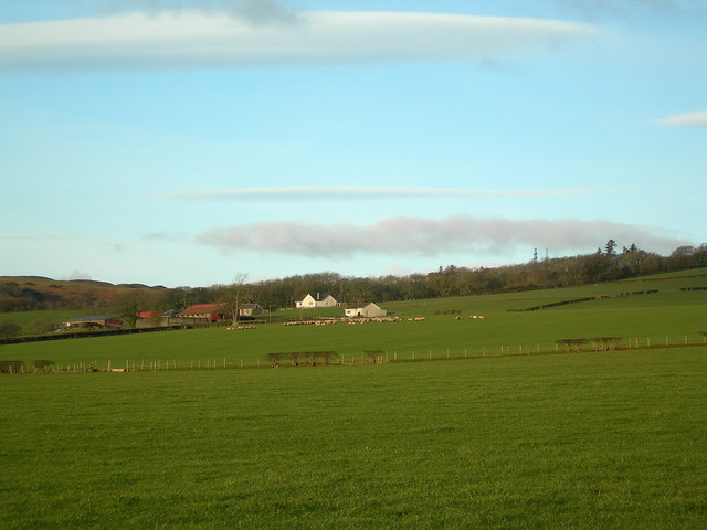
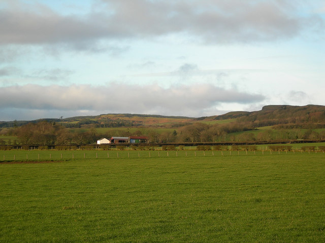
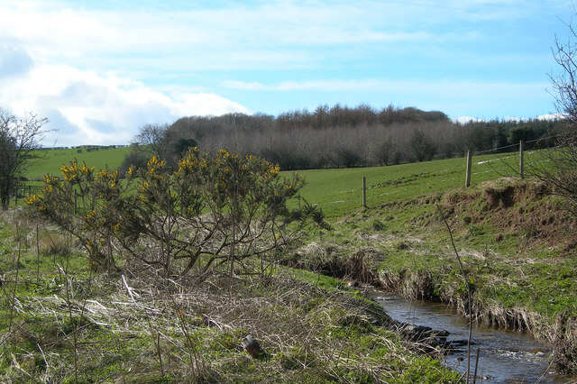
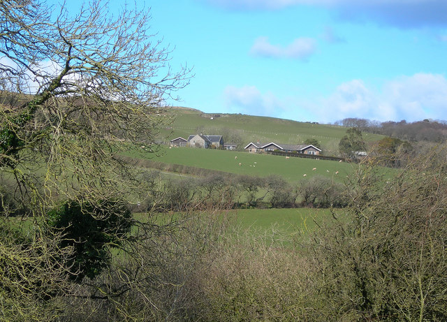
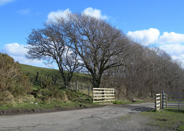
Mains Wood is a beautiful woodland located in Ayrshire, Scotland. Covering an area of approximately 100 acres, the wood is a popular destination for nature lovers and outdoor enthusiasts. The wood is home to a variety of flora and fauna, including oak, beech, and birch trees, as well as a diverse range of wildlife such as red squirrels, roe deer, and various bird species.

Visitors to Mains Wood can enjoy a network of well-maintained trails that wind through the forest, providing opportunities for hiking, walking, and birdwatching. The wood also features a picnic area, making it a great spot for a leisurely day out with family and friends.

Mains Wood is managed by the local council, who work to preserve and protect the natural beauty of the woodland for future generations to enjoy. The wood is easily accessible by car and is located near the town of Ayr, making it a convenient destination for both locals and tourists looking to escape the hustle and bustle of everyday life and immerse themselves in the tranquility of nature.

If you have any feedback on the listing, please let us know in the comments section below.

Mains Wood Images

Images are sourced within 2km of 55.392287/-4.6826077 or Grid Reference NS3014. Thanks to Geograph Open Source API. All images are credited.

Culroy Nr Ayr
Culroy Nr Ayr
Glenalmond Looking NE along Cycle Route 7 towards Glenalmond Farm
Glenalmond
Looking NE along Cycle Route 7 towards Glenalmond Farm
Road to Garryhorn Looking NNW down the hill towards Garryhorn, showing farmland and woodland
Road to Garryhorn
Looking NNW down the hill towards Garryhorn, showing farmland and woodland
Sauchrie Looking N across the burn towards Sauchrie Farm, from Cycle Route 7
Sauchrie
Looking N across the burn towards Sauchrie Farm, from Cycle Route 7
Knockdon Farm Improved grazing with Knockdon Farm in background
Knockdon Farm
Improved grazing with Knockdon Farm in background
St Helen's Well The lochan contains the old St Helen's Well.  In bygone days, its waters were believed to cure ailing children if taken on Mayday.  Many Maybole mothers used to walk the 5 mile round trip on Mayday to get a jug of water from St Helen's if they thought that their offsprings weren't thriving as they should.  (Source: "Maybole - Carrick's Capital" by James T Gray)
St Helen's Well
The lochan contains the old St Helen's Well. In bygone days, its waters were believed to cure ailing children if taken on Mayday. Many Maybole mothers used to walk the 5 mile round trip on Mayday to get a jug of water from St Helen's if they thought that their offsprings weren't thriving as they should. (Source: "Maybole - Carrick's Capital" by James T Gray)
Roadside Trees Mature ash trees with varying degrees of ivy alongside the B7024 on a fine January afternoon.
Roadside Trees
Mature ash trees with varying degrees of ivy alongside the B7024 on a fine January afternoon.
High Milton Farm Looking along one of the minor roads that give access to Brown Carrick Hill, shown in the background of this shot.
High Milton Farm
Looking along one of the minor roads that give access to Brown Carrick Hill, shown in the background of this shot.
Field Edge Looking north along a hedgerow, with a fine view of the south Ayrshire countryside in the background.
Field Edge
Looking north along a hedgerow, with a fine view of the south Ayrshire countryside in the background.
Towards Laigh Grange
High Pinmore Looking along the south-eastern edge of the North Carrick Hills.
High Pinmore
Looking along the south-eastern edge of the North Carrick Hills.
Low Pinmore Looking along the south-eastern edge of the North Carrick Hills.
Low Pinmore
Looking along the south-eastern edge of the North Carrick Hills.
Along the Burn Farmland and woodland along the southern edge of the Carrick Hills.
Along the Burn
Farmland and woodland along the southern edge of the Carrick Hills.
Beoch A winter view, taken on a fine March afternoon.
Beoch
A winter view, taken on a fine March afternoon.
Sauchrie Glen Looking up Sauchrie Glen from the Hill Road.  The three Police Radio Masts in the background are a prominent local landmark.
Sauchrie Glen
Looking up Sauchrie Glen from the Hill Road. The three Police Radio Masts in the background are a prominent local landmark.
At the Cattle Grid One of several cattle grids on the Brown Carrick Hill Road.
At the Cattle Grid
One of several cattle grids on the Brown Carrick Hill Road.
Brown Carrick Hill Road National Cycle Route number 7 follows this road.
Brown Carrick Hill Road
National Cycle Route number 7 follows this road.
Sheep by Sauchrie Glen The narrow part of Sauchrie glen is visible beyond the sheep.  Extra care is needed when walking on hill grazing at this time of year (March), before the lambing has taken place.
Sheep by Sauchrie Glen
The narrow part of Sauchrie glen is visible beyond the sheep. Extra care is needed when walking on hill grazing at this time of year (March), before the lambing has taken place.
Show me another place!

Mains Wood is located at Grid Ref: NS3014 (Lat: 55.392287, Lng: -4.6826077)

Unitary Authority: South Ayrshire

Police Authority: Ayrshire

What 3 Words

///custodian.admiral.motel. Near Maybole, South Ayrshire

Nearby Locations

Mains Wood

Related Wikis

Minishant

Minishant is a village bordering the A77 in the old county of Carrick, South Ayrshire, Scotland. It is located in Maybole Parish, 3+1⁄2 miles (5.5 kilometres...

Cassillis railway station

Cassillis railway station was a railway station serving the village of Minishant, South Ayrshire, Scotland. The station was originally part of the Ayr...

Maybole (old) railway station

Maybole railway station was a railway station serving the village of Maybole, South Ayrshire, Scotland. The station was originally part of the Ayr and...

Heads of Ayr Holiday Camp railway station

Heads of Ayr Holiday Camp railway station was a railway station serving the holiday camp and hotel at Heads of Ayr, South Ayrshire, Scotland. The station...

Nearby Amenities

Located within 500m of 55.392287,-4.6826077
Sauchrie
Place: locality
Lat/Long: 55.3964657/-4.6835392
Power: pole
Lat/Long: 55.3935706/-4.6753533
Power: pole
Lat/Long: 55.3939629/-4.6814042
Power: pole
Lat/Long: 55.3941262/-4.6828482
Power: pole
Lat/Long: 55.3942394/-4.6836734
Power: pole
Lat/Long: 55.3943322/-4.6836398
Power: pole
Lat/Long: 55.3947541/-4.6840593
Power: pole
Lat/Long: 55.3957005/-4.6849563
Power: pole
Lat/Long: 55.3963824/-4.6841798
The data included in this document is from www.openstreetmap.org. The data is made available under ODbL.

Have you been to Mains Wood?

Leave your review of Mains Wood below (or comments, questions and feedback).