Braker Hill
Hill, Mountain in Ayrshire
Scotland
Braker Hill
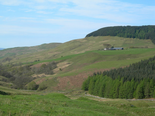
Braker Hill, located in the picturesque region of Ayrshire, Scotland, is a prominent hill that rises majestically from the surrounding landscape. With an elevation of approximately 444 meters (1,457 feet), it offers breathtaking panoramic views of the surrounding countryside, making it a popular destination for hikers, nature enthusiasts, and photographers.
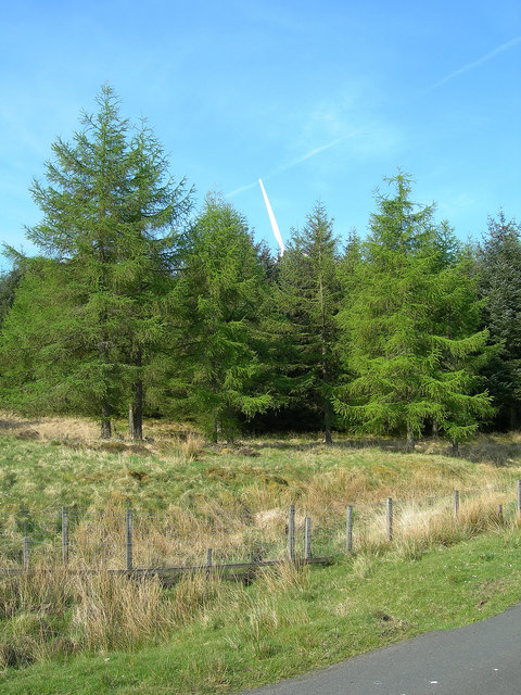
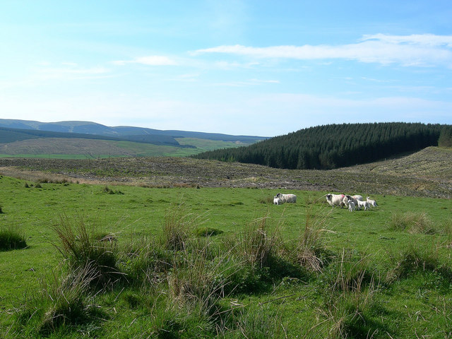
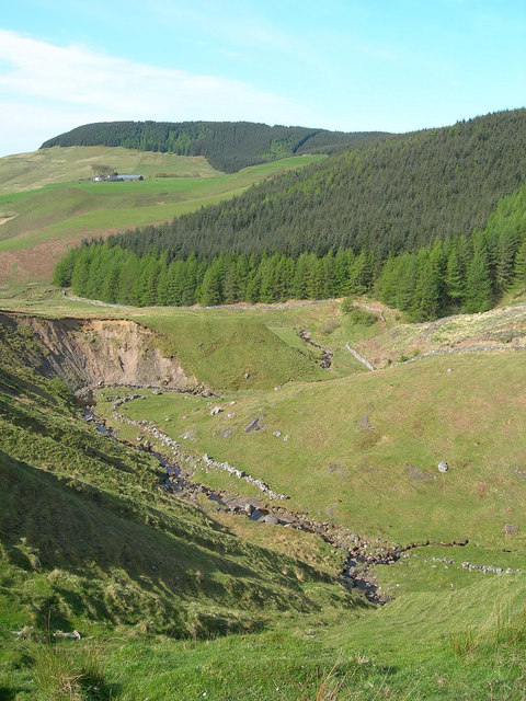
The hill is characterized by its rugged terrain, covered in heather and grasses, which create a patchwork of vibrant colors throughout the year. As visitors ascend Braker Hill, they will encounter an array of flora and fauna, including various species of birds, rabbits, and occasional deer.
At its summit, a trig point stands proudly, offering a marker for those who have successfully conquered the hill. From this vantage point, on a clear day, visitors can enjoy sweeping vistas of the Ayrshire coast, with the sparkling waters of the Firth of Clyde in the distance. The Isle of Arran can also be seen, adding to the scenic beauty of the area.
For those seeking a more challenging experience, Braker Hill can be approached from different directions, with various trails and paths to choose from. While the ascent may require some effort, the reward of the stunning views and a sense of accomplishment is well worth it.
Braker Hill, Ayrshire, is a natural gem that offers a captivating blend of rugged beauty and awe-inspiring panoramas. Whether one seeks a peaceful walk in nature or a more challenging hike, this hill is sure to leave a lasting impression on all who venture to its summit.
If you have any feedback on the listing, please let us know in the comments section below.
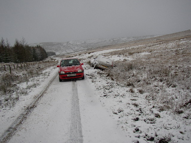
Braker Hill Images
Images are sourced within 2km of 55.244552/-4.6673569 or Grid Reference NX3097. Thanks to Geograph Open Source API. All images are credited.


Braker Hill is located at Grid Ref: NX3097 (Lat: 55.244552, Lng: -4.6673569)
Unitary Authority: South Ayrshire
Police Authority: Ayrshire
What 3 Words
///shields.sloping.outcasts. Near Girvan, South Ayrshire
Nearby Locations
Related Wikis

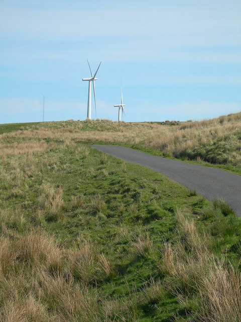
Hadyard Hill Wind Farm
Hadyard Hill Wind Farm is located in Carrick district of South Ayrshire. Costing £85 million, the wind farm consists of 52 three-bladed Siemens wind turbines...

South Ayrshire
South Ayrshire (Scots: Sooth Ayrshire; Scottish Gaelic: Siorrachd Àir a Deas, pronounced [ˈʃirˠəxk aːɾʲ ə ˈtʲes̪]) is one of thirty-two council areas of...
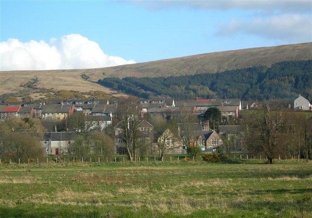
Dailly
Dailly (Scottish Gaelic: Dail Mhaol Chiarain) is a village in South Ayrshire, Scotland. It is located on the Water of Girvan, five miles (eight kilometres...

Kilkerran House
Kilkerran House is an 18th-century private house near Maybole, Ayrshire, Scotland. It is a category A listed building set within grounds included in the...
Nearby Amenities
Located within 500m of 55.244552,-4.6673569Have you been to Braker Hill?
Leave your review of Braker Hill below (or comments, questions and feedback).