A' Chrois
Hill, Mountain in Argyllshire
Scotland
A' Chrois
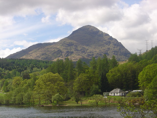
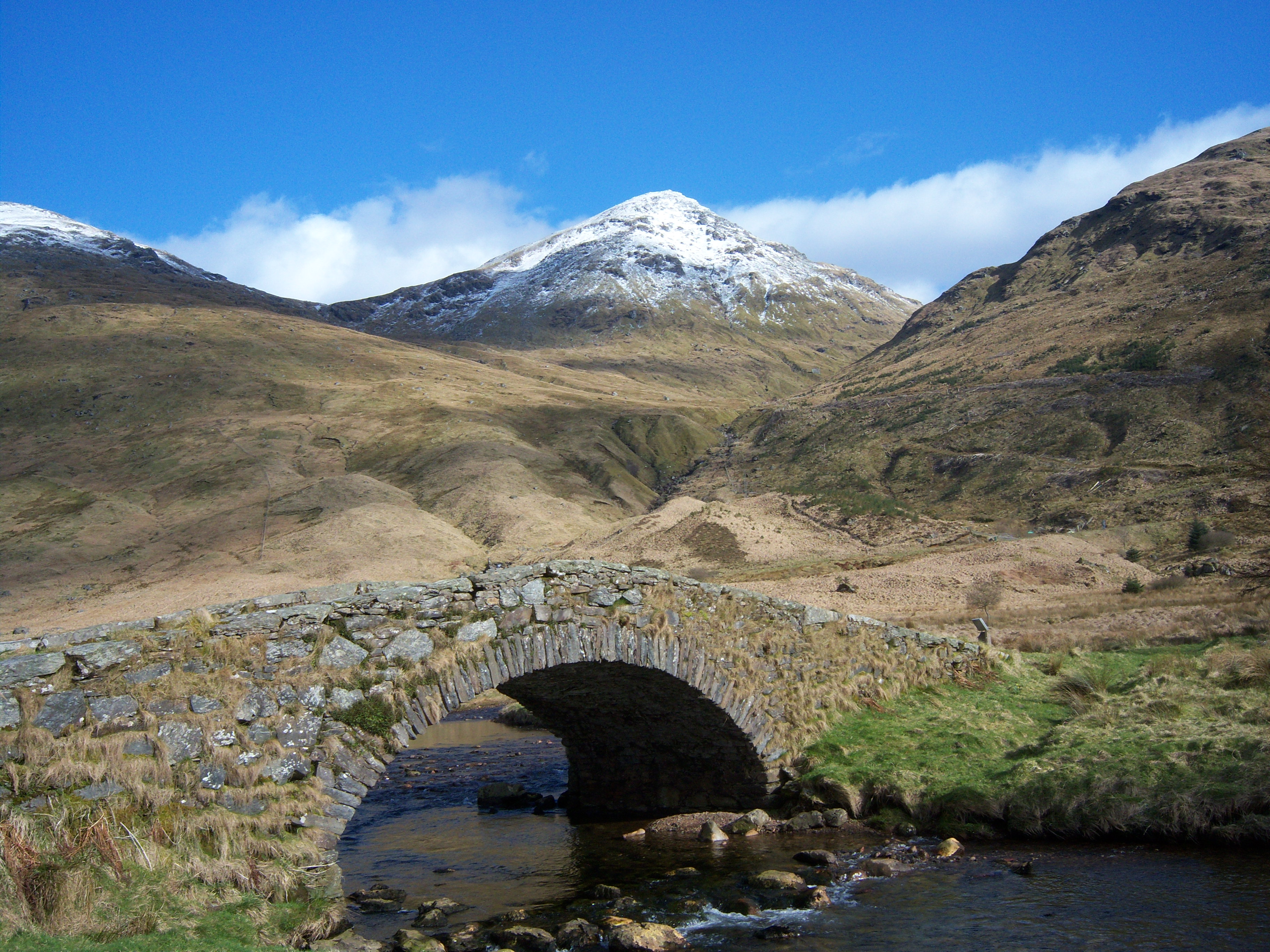
A' Chrois is a prominent hill located in Argyllshire, Scotland. Situated in the southern part of the region, it forms part of the stunning landscape of the Scottish Highlands. With an elevation of approximately 702 meters (2,303 feet), it stands as a notable mountain in the area.
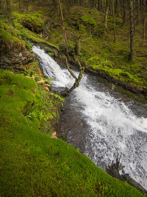
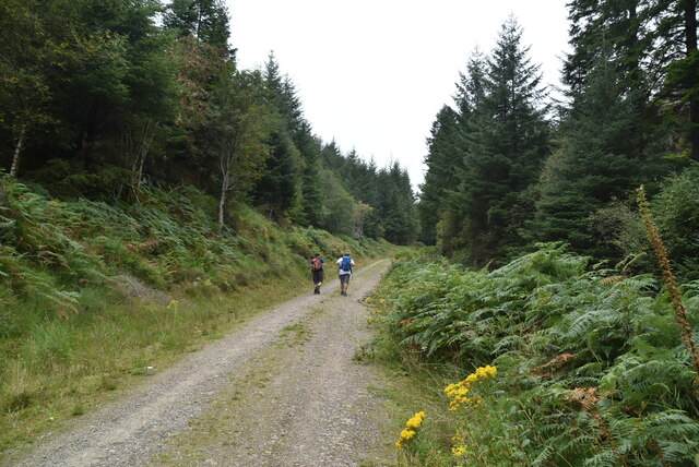
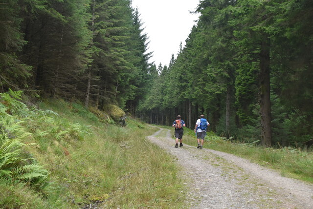
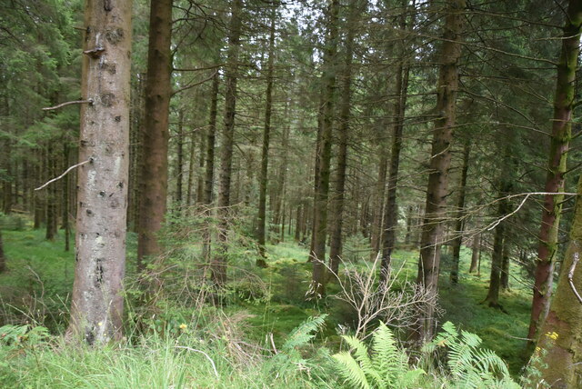
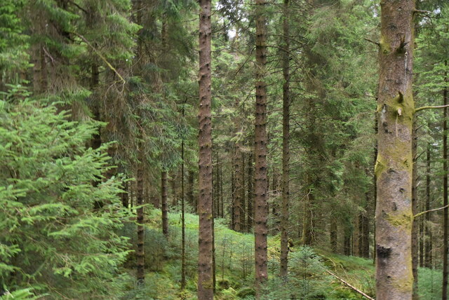
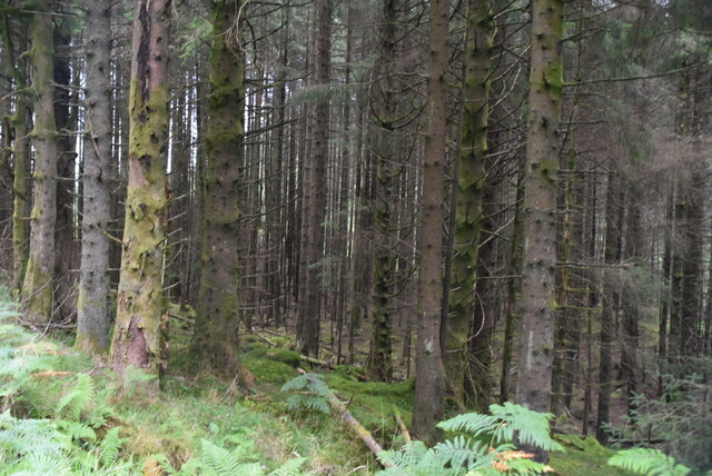
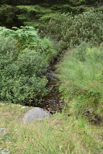
Characterized by its rugged and rocky terrain, A' Chrois offers a challenging yet rewarding climb for outdoor enthusiasts. Its steep slopes and craggy features attract hikers and mountaineers seeking an exhilarating adventure. The hill is often covered in heather and grasses, creating a colorful and picturesque scene during the summer months.
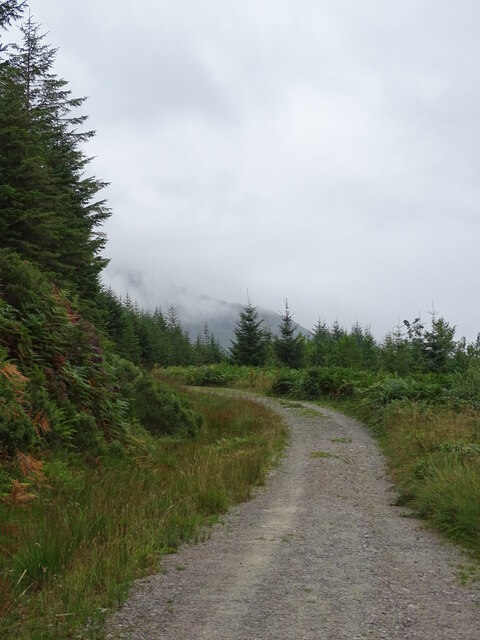
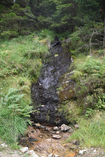
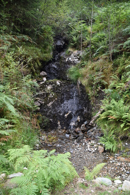
From the summit of A' Chrois, on a clear day, visitors are treated to breathtaking panoramic views of the surrounding countryside. The rolling hills, expansive lochs, and distant mountains combine to create a truly awe-inspiring sight. It is also possible to spot various wildlife species, including deer and birds of prey, adding to the natural beauty of the area.
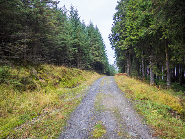
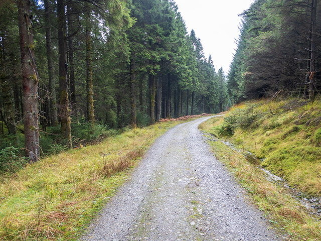
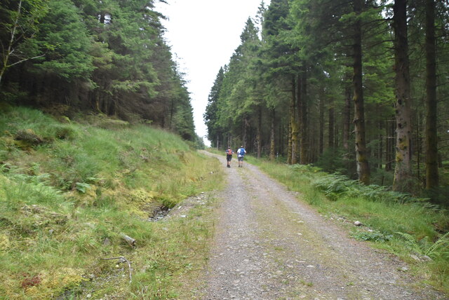
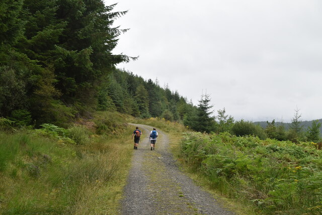
Access to A' Chrois is primarily via well-marked footpaths, ensuring a safe and enjoyable experience for visitors. However, it is important to note that the hill's challenging nature requires a certain level of fitness and experience. Proper equipment and clothing, including sturdy footwear and waterproof layers, are essential for those attempting the ascent.
A' Chrois is a popular destination for outdoor enthusiasts looking to explore the stunning Scottish countryside and experience the thrill of conquering a mountain. Its rugged beauty, challenging terrain, and breathtaking views make it a must-visit location in Argyllshire.
If you have any feedback on the listing, please let us know in the comments section below.
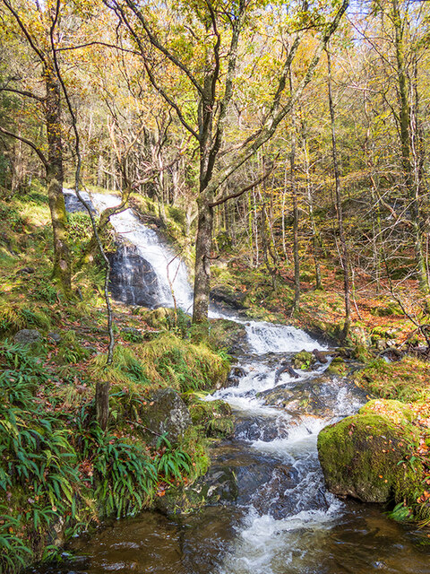
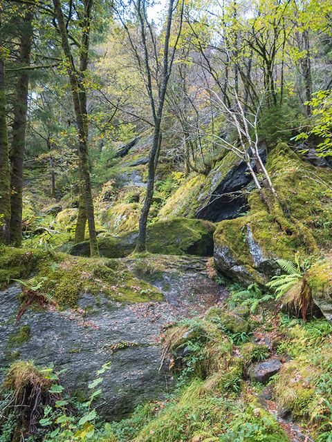
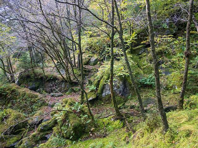
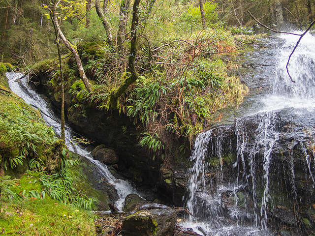
A' Chrois Images
Images are sourced within 2km of 56.231333/-4.7627468 or Grid Reference NN2807. Thanks to Geograph Open Source API. All images are credited.
A' Chrois is located at Grid Ref: NN2807 (Lat: 56.231333, Lng: -4.7627468)
Unitary Authority: Argyll and Bute
Police Authority: Argyll and West Dunbartonshire
What 3 Words
///reservoir.cabinet.reverses. Near Garelochhead, Argyll & Bute
Nearby Locations
Related Wikis
A' Chrois
A' Chrois is a mountain located in the Arrochar Alps north west of Arrochar in Argyll, an extremely scenic area which is technically in the highlands although...

Beinn Narnain
Beinn Narnain (sometimes anglicised as Ben Narnain) is a mountain in the southern Highlands of Scotland, near Arrochar. It forms part of a group of hills...

Succoth, Argyll
Succoth; (Scottish Gaelic: An Socach and sometimes referred to as Succoff or Succot in Scots) is a village on the Cowal peninsula in Argyll and Bute, Scotland...

Ben Vane
Ben Vane (Scottish Gaelic: Beinn Mheadhain) is a mountain in the Arrochar Alps of Argyll, in the Southern Highlands of Scotland. It reaches 915 metres...
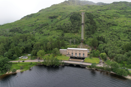
Loch Sloy Hydro-Electric Scheme
The Loch Sloy Hydro-Electric Scheme is a hydro-electric facility situated between Loch Sloy and Inveruglas on the west bank of Loch Lomond in Scotland...

Arrochar Alps
The Arrochar Alps are a group of mountains located around the head of Loch Long, Loch Fyne, and Loch Goil, near the villages of Arrochar and Lochgoilhead...
Beinn Ìme
Beinn Ìme (Scottish Gaelic for 'butter mountain') is the highest mountain in the Arrochar Alps of Argyll, in the Southern Highlands of Scotland. It reaches...

Inveruglas railway station
Inveruglas was a remote temporary private railway station near the hamlet of Inveruglas, Argyll and Bute, Scotland. Opened in 1945 by the LNER, it was...
Related Videos

Ben Vane | Loch Lomond & the Trossachs National Park - Best hike in Scotland
Length: 11 km (6.75 mi) Duration: 4.5 - 6.5 hours Elevation change: 930 meters (3051 feet) Some things to remember: 1. You have ...

Scotland Day 10 : Hiking Ben Narnain/The Cobbler
hikingscotland #bennarnain #thecobbler My last full day in Scotland and I was able to hike to the top of the last mountain I decided ...
Hiking: Scotland, Beinn Narnain, The Cobbler, Beinn Ime
A rather chilly hike up to Bein Narnain with a failed summit of The Cobbler & Beinn Ime. Only the single Munro this time. The plan ...

Ascending Beinn Ime and Wild Camping Near a Waterfall | Hiking in the Arrochar Alps
We tackled our first ever Munro, Beinn Ime (1011 m) whilst carrying our camping kit so we could spend the night in the wild!
Nearby Amenities
Located within 500m of 56.231333,-4.7627468Have you been to A' Chrois?
Leave your review of A' Chrois below (or comments, questions and feedback).