Meall nan Caorach
Hill, Mountain in Sutherland
Scotland
Meall nan Caorach

Meall nan Caorach is a prominent hill located in the county of Sutherland, in the northern part of Scotland. Rising to an elevation of 531 meters (1,742 feet), it stands as a distinctive feature in the surrounding landscape.
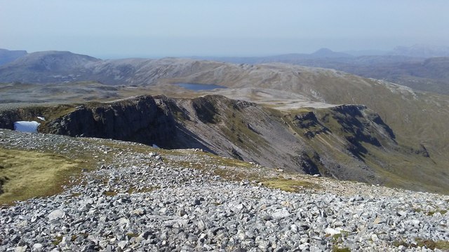
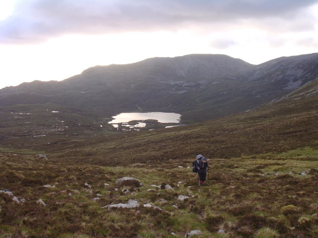
Situated near the village of Invershin, Meall nan Caorach is part of the expansive Scottish Highlands. Its summit offers breathtaking panoramic views of the surrounding countryside, including the nearby Kyle of Sutherland, the Dornoch Firth, and the towering peaks of Ben More Assynt and Ben Klibreck in the distance.
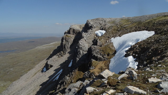
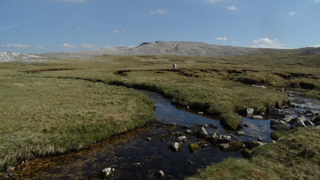
The hill itself is characterized by its gentle slopes and grassy terrain, making it an accessible destination for hikers and outdoor enthusiasts of all levels of experience. Its lower slopes are covered in heather and scattered with rocky outcrops, while the higher reaches offer a more rugged and exposed landscape.
The ascent to the summit of Meall nan Caorach can be accomplished via various routes, with the most popular being a straightforward path that begins near the Invershin railway station. The hill can be conquered in a few hours, making it an ideal day hike for those looking to experience the beauty of the Scottish Highlands without committing to a longer expedition.
Meall nan Caorach is also a haven for wildlife, with the surrounding area being home to a variety of bird species, including golden eagles, peregrine falcons, and red grouse. It is not uncommon to spot deer and other mammals while exploring the hill's slopes.
Overall, Meall nan Caorach offers a rewarding outdoor experience, combining stunning views, accessible hiking trails, and a chance to encounter Scotland's diverse wildlife.
If you have any feedback on the listing, please let us know in the comments section below.
Meall nan Caorach Images
Images are sourced within 2km of 58.161584/-4.9115591 or Grid Reference NC2822. Thanks to Geograph Open Source API. All images are credited.


Meall nan Caorach is located at Grid Ref: NC2822 (Lat: 58.161584, Lng: -4.9115591)
Unitary Authority: Highland
Police Authority: Highlands and Islands
What 3 Words
///inversely.jukebox.film. Near Inchnadamph, Highland
Nearby Locations
Related Wikis
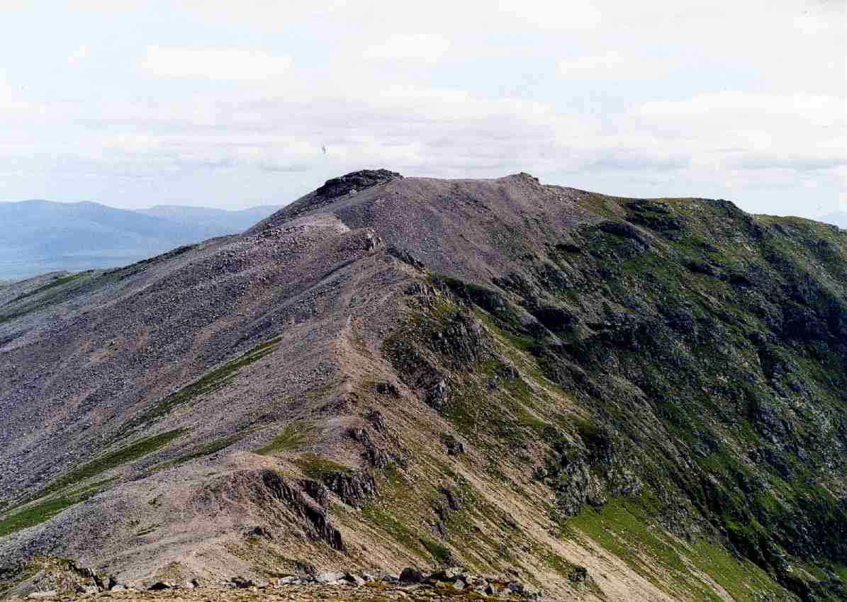
Conival
Conival (Scottish Gaelic: Cona Mheall) is a Scottish mountain situated in Assynt in the Sutherland area of the Highland Council Area, thirty kilometres...
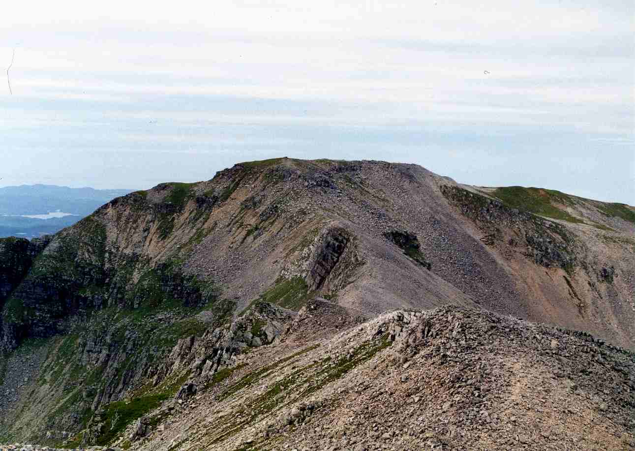
Ben More Assynt
Ben More Assynt (Scottish Gaelic: Beinn Mhòr Asaint) is a mountain in Assynt in the far north-west of Scotland, 30 kilometres (19 miles) north-northeast...

Inchnadamph
Inchnadamph is a hamlet in Assynt, Sutherland, Scotland. The name is an anglicisation of the Gaelic name Innis nan Damh meaning 'meadow of the stags'....
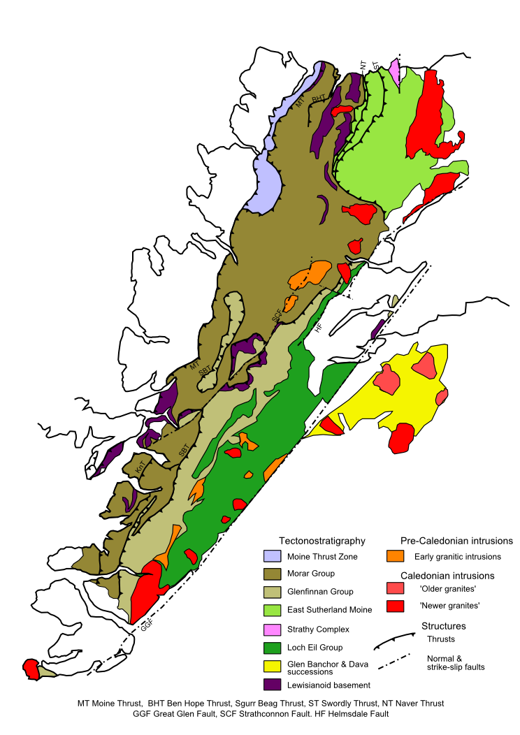
Moine Thrust Belt
The Moine Thrust Belt or Moine Thrust Zone is a linear tectonic feature in the Scottish Highlands which runs from Loch Eriboll on the north coast 190 kilometres...

Ardvreck Castle
Ardvreck Castle is a castle, now ruinous, standing on a rocky promontory in Loch Assynt, Sutherland, Scotland, UK. The structure dates from about 1490...

Glas Bheinn (Assynt)
Glas Bheinn (776 m) is a mountain in the Northwest Highlands of Scotland. It lies in the Assynt area of Sutherland, in the far north of the country. A...
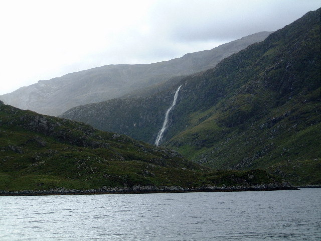
Eas a' Chual Aluinn
Eas a' Chual Aluinn (grid reference NC281278) in the parish of Assynt, Sutherland, Highland, Scotland, is the tallest waterfall in the United Kingdom with...

Uamh an Claonaite
Uamh an Claonaite (Scottish Gaelic: Cave of the sloping rock) is the longest cave in Scotland. It consists of a series of dry passages and a series of...
Have you been to Meall nan Caorach?
Leave your review of Meall nan Caorach below (or comments, questions and feedback).