Coire Fuar
Corrie (Glacial Valley) in Argyllshire
Scotland
Coire Fuar
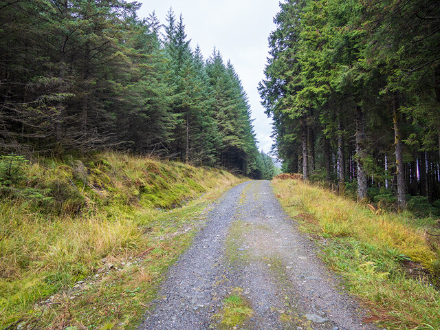
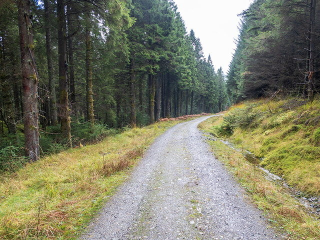
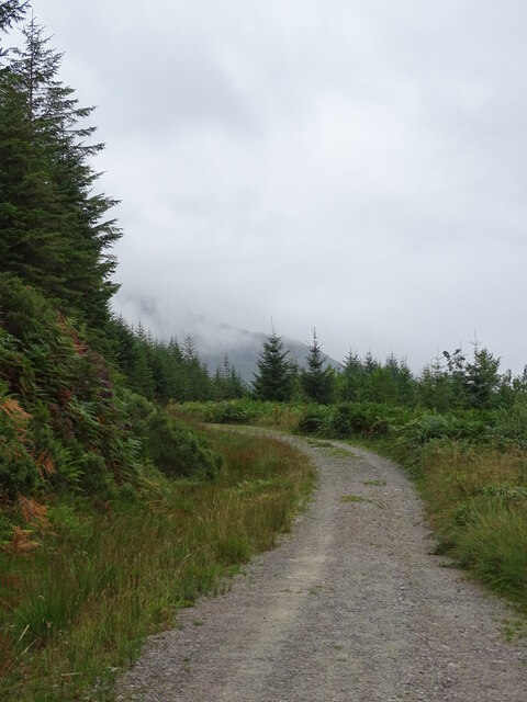
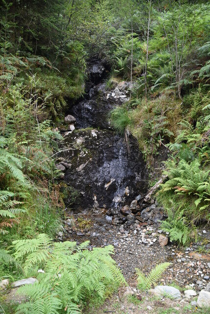
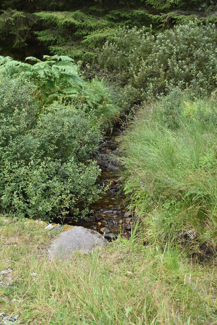
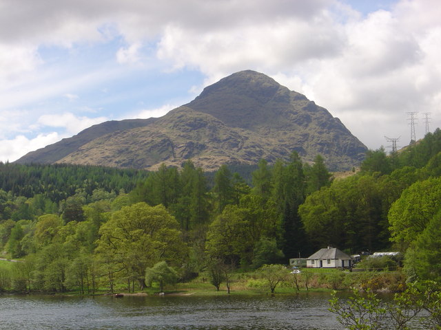
Coire Fuar, located in Argyllshire, Scotland, is a breathtaking glacial valley also known as Corrie. Situated in the Western Highlands, this natural wonder is surrounded by towering mountains and possesses a serene and untouched beauty. Coire Fuar is characterized by its steep-sided cliffs, U-shaped valley, and a small loch nestled at its base.
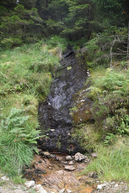
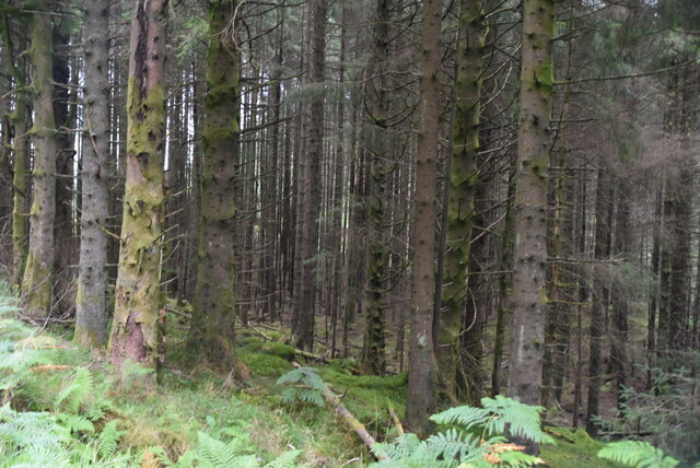
The valley was formed during the last ice age when glaciers carved through the landscape, leaving behind a deep depression. The glacial activity also shaped the surrounding mountains, with their rugged peaks and sharp ridges, creating a dramatic and picturesque setting.
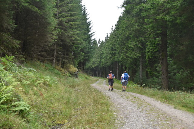
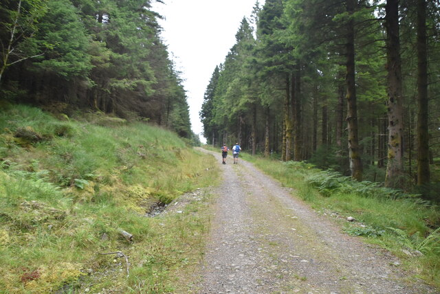
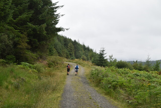
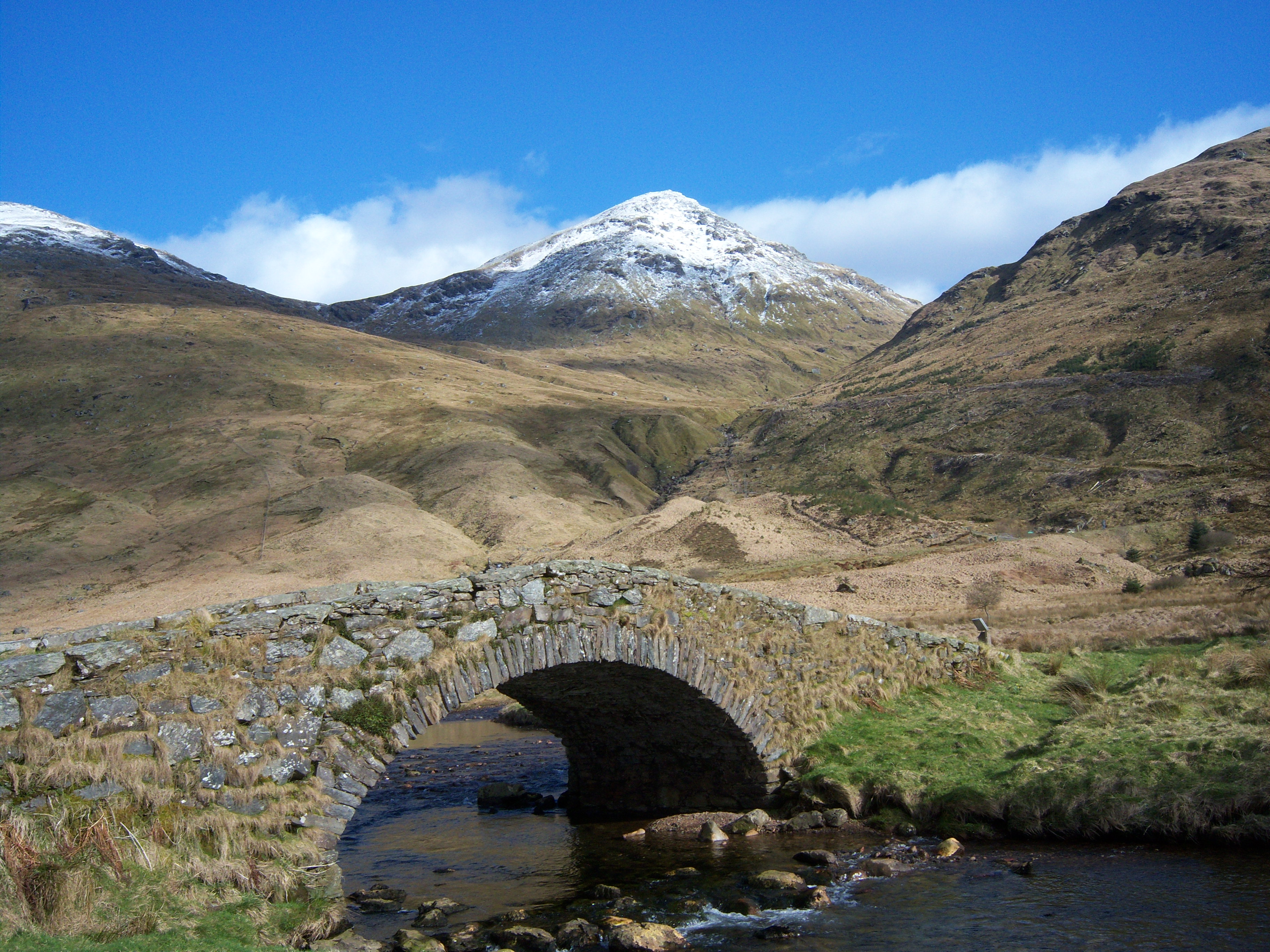
Coire Fuar is accessible via a challenging hiking trail, which adds to the allure of this remote location. The trail begins at the base of the valley and meanders through a variety of terrains, including moorland and rocky outcrops. As visitors ascend, they are rewarded with panoramic views of the surrounding mountains and the loch below.
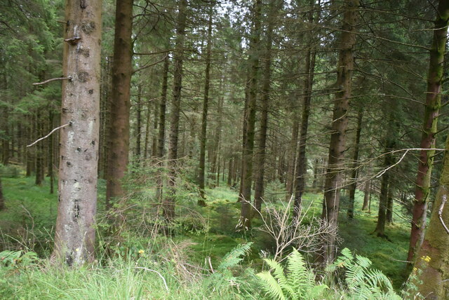
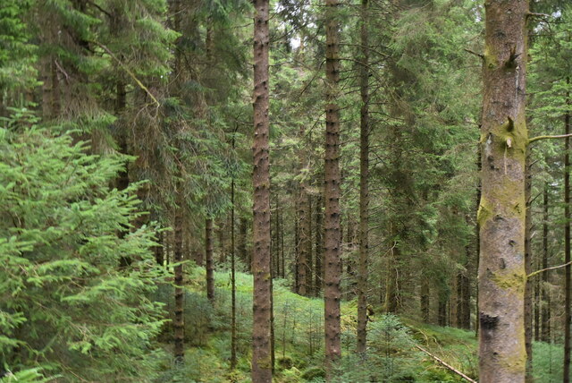
The flora and fauna found in Coire Fuar are diverse and unique. The valley supports a variety of plant life, including heather, mosses, and wildflowers. Birdwatchers are often delighted by the opportunity to spot golden eagles, peregrine falcons, and other bird species that inhabit the area.
Coire Fuar is also a popular destination for outdoor enthusiasts, offering opportunities for hiking, mountain biking, and fishing. The tranquility of the valley, coupled with its natural beauty, makes it a sought-after location for photographers and nature lovers alike.
Overall, Coire Fuar is a remarkable glacial valley that showcases the raw power of nature. Its striking landscape, rich biodiversity, and challenging hiking trails make it a must-visit destination for those seeking an authentic Scottish wilderness experience.
If you have any feedback on the listing, please let us know in the comments section below.
Coire Fuar Images
Images are sourced within 2km of 56.232595/-4.7685989 or Grid Reference NN2807. Thanks to Geograph Open Source API. All images are credited.


Coire Fuar is located at Grid Ref: NN2807 (Lat: 56.232595, Lng: -4.7685989)
Unitary Authority: Argyll and Bute
Police Authority: Argyll and West Dunbartonshire
What 3 Words
///overcomes.pronouns.farmer. Near Garelochhead, Argyll & Bute
Nearby Locations
Related Wikis
A' Chrois
A' Chrois is a mountain located in the Arrochar Alps north west of Arrochar in Argyll, an extremely scenic area which is technically in the highlands although...

Beinn Narnain
Beinn Narnain (sometimes anglicised as Ben Narnain) is a mountain in the southern Highlands of Scotland, near Arrochar. It forms part of a group of hills...

Ben Vane
Ben Vane (Scottish Gaelic: Beinn Mheadhain) is a mountain in the Arrochar Alps of Argyll, in the Southern Highlands of Scotland. It reaches 915 metres...

Succoth, Argyll
Succoth; (Scottish Gaelic: An Socach and sometimes referred to as Succoff or Succot in Scots) is a village on the Cowal peninsula in Argyll and Bute, Scotland...

Arrochar Alps
The Arrochar Alps are a group of mountains located around the head of Loch Long, Loch Fyne, and Loch Goil, near the villages of Arrochar and Lochgoilhead...
Beinn Ìme
Beinn Ìme (Scottish Gaelic for 'butter mountain') is the highest mountain in the Arrochar Alps of Argyll, in the Southern Highlands of Scotland. It reaches...
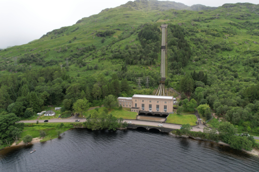
Loch Sloy Hydro-Electric Scheme
The Loch Sloy Hydro-Electric Scheme is a hydro-electric facility situated between Loch Sloy and Inveruglas on the west bank of Loch Lomond in Scotland...
Beinn Chorranach
Beinn Chorranach is one of the Arrochar Alps, a mountain range that marks the start of the Argyll Highlands and provides a wilderness of long coastlines...
Nearby Amenities
Located within 500m of 56.232595,-4.7685989Have you been to Coire Fuar?
Leave your review of Coire Fuar below (or comments, questions and feedback).