Sròn nan Eun
Landscape Feature in Argyllshire
Scotland
Sròn nan Eun
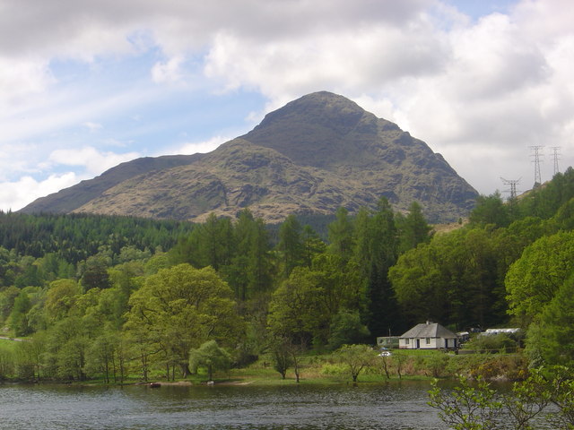
Sròn nan Eun, located in Argyllshire, Scotland, is a prominent landscape feature that draws attention with its stunning natural beauty. Translated from Gaelic as "Nose of the Birds," Sròn nan Eun is a distinct peninsula that extends into Loch Etive, a sea loch on the west coast of Scotland.
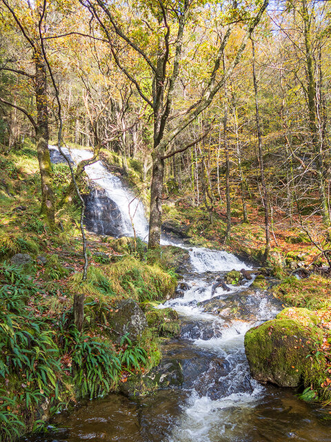
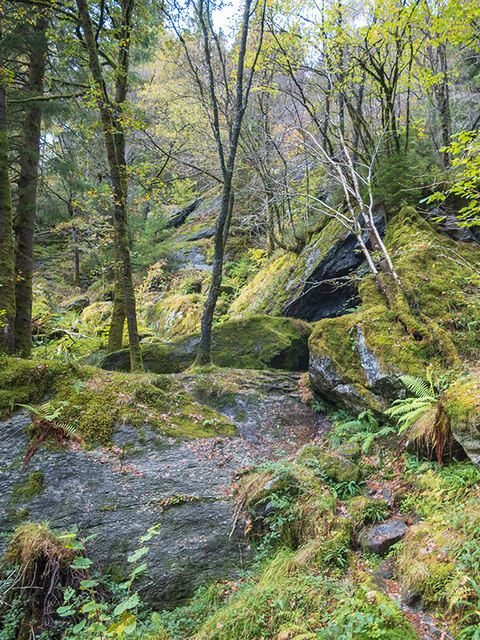
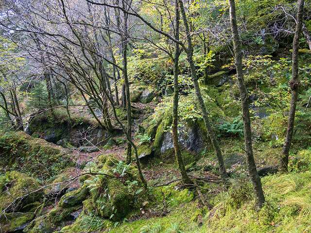
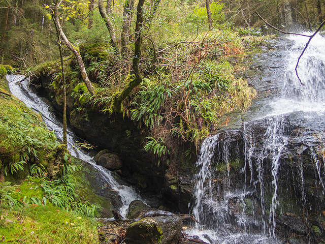
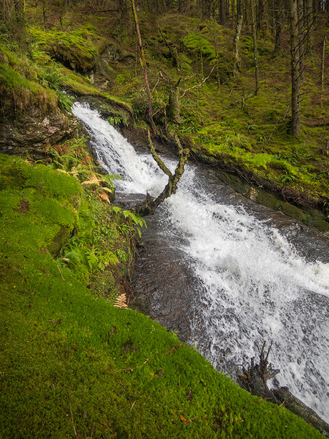
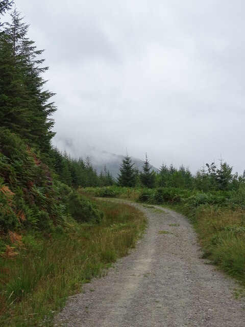
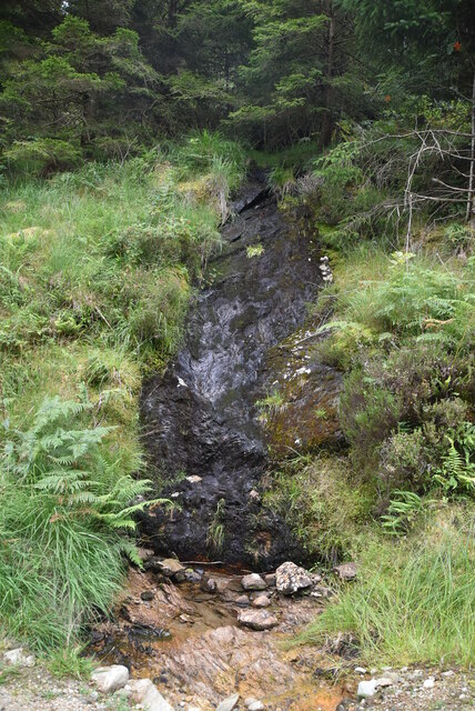
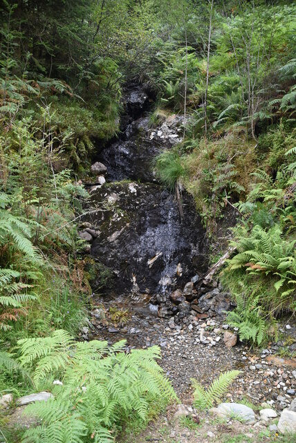
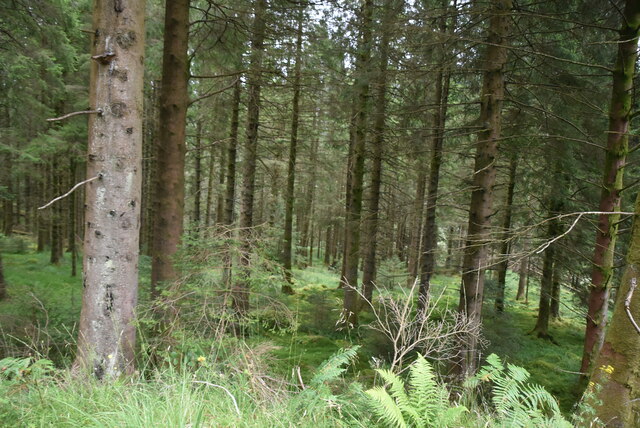
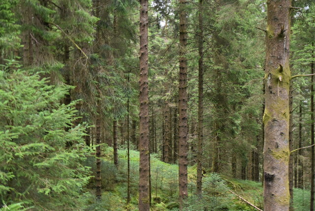
The peninsula is characterized by its rugged and dramatic terrain, with towering cliffs and steep slopes that drop down into the glistening waters below. The rocky coastline is dotted with small coves and inlets, adding to the picturesque charm of the area. Sròn nan Eun offers breathtaking panoramic views of the surrounding landscape, including the Loch Etive, nearby mountains, and the vast expanse of the Atlantic Ocean.
The vegetation on Sròn nan Eun is diverse, with a mix of heather, grasses, and scattered trees, providing habitat for a variety of wildlife. The peninsula is known to be a haven for birdwatchers, as it attracts numerous species of birds, including sea eagles, golden eagles, and various seabirds.
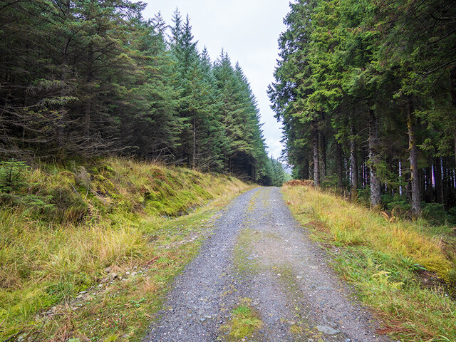
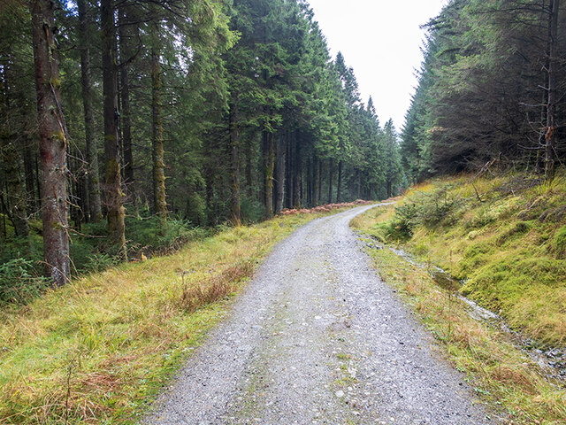
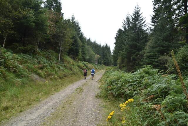
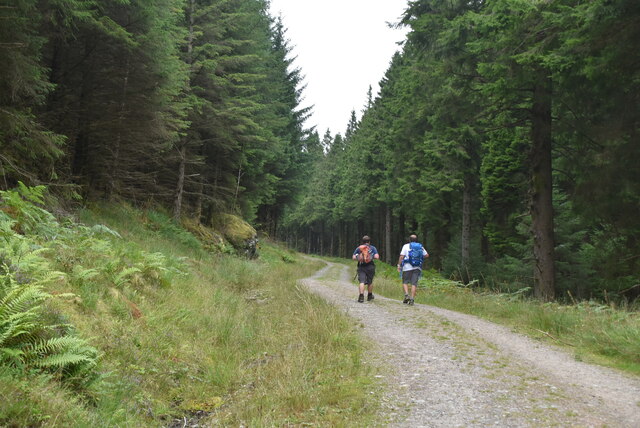
The area surrounding Sròn nan Eun is also steeped in history and culture. There are ancient ruins and archaeological sites nearby, showcasing the rich heritage of the region. The peninsula is a popular spot for outdoor activities such as hiking, birdwatching, and photography, attracting nature enthusiasts and tourists from around the world.
In conclusion, Sròn nan Eun in Argyllshire is a captivating landscape feature boasting rugged cliffs, stunning views, diverse vegetation, and a wealth of wildlife. Its combination of natural beauty and historical significance makes it a must-visit destination for those seeking to immerse themselves in Scotland's enchanting landscapes.
If you have any feedback on the listing, please let us know in the comments section below.
Sròn nan Eun Images
Images are sourced within 2km of 56.226215/-4.7616845 or Grid Reference NN2807. Thanks to Geograph Open Source API. All images are credited.


Sròn nan Eun is located at Grid Ref: NN2807 (Lat: 56.226215, Lng: -4.7616845)
Unitary Authority: Argyll and Bute
Police Authority: Argyll and West Dunbartonshire
What 3 Words
///mutual.dressings.reddish. Near Garelochhead, Argyll & Bute
Nearby Locations
Related Wikis
A' Chrois
A' Chrois is a mountain located in the Arrochar Alps north west of Arrochar in Argyll, an extremely scenic area which is technically in the highlands although...

Succoth, Argyll
Succoth; (Scottish Gaelic: An Socach and sometimes referred to as Succoff or Succot in Scots) is a village on the Cowal peninsula in Argyll and Bute, Scotland...

Beinn Narnain
Beinn Narnain (sometimes anglicised as Ben Narnain) is a mountain in the southern Highlands of Scotland, near Arrochar. It forms part of a group of hills...

Ben Vane
Ben Vane (Scottish Gaelic: Beinn Mheadhain) is a mountain in the Arrochar Alps of Argyll, in the Southern Highlands of Scotland. It reaches 915 metres...
Related Videos

Scotland Day 10 : Hiking Ben Narnain/The Cobbler
hikingscotland #bennarnain #thecobbler My last full day in Scotland and I was able to hike to the top of the last mountain I decided ...


Hiking: Scotland, Beinn Narnain, The Cobbler, Beinn Ime
A rather chilly hike up to Bein Narnain with a failed summit of The Cobbler & Beinn Ime. Only the single Munro this time. The plan ...
Climbing Beinn Narnain 🏔
Climbing our 14th munro!!
Nearby Amenities
Located within 500m of 56.226215,-4.7616845Have you been to Sròn nan Eun?
Leave your review of Sròn nan Eun below (or comments, questions and feedback).