Hill Tor
Hill, Mountain in Cornwall
England
Hill Tor
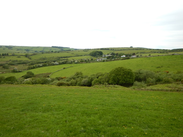
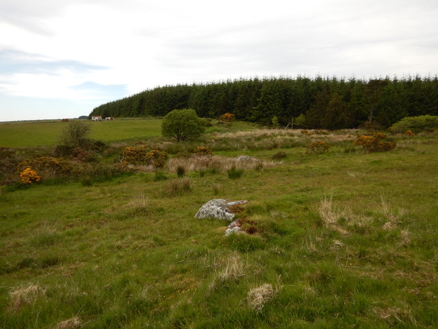
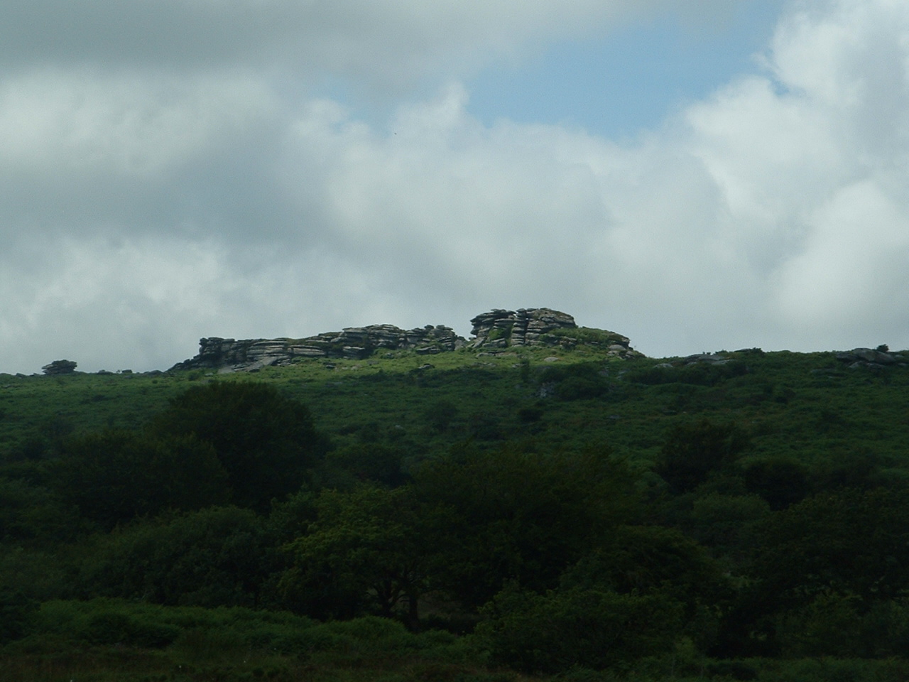
Hill Tor is a prominent hill located in Cornwall, England. Situated near the town of Bodmin, it is part of the Bodmin Moor Area of Outstanding Natural Beauty. With an elevation of approximately 1,300 feet (396 meters), Hill Tor offers stunning panoramic views of the surrounding countryside.
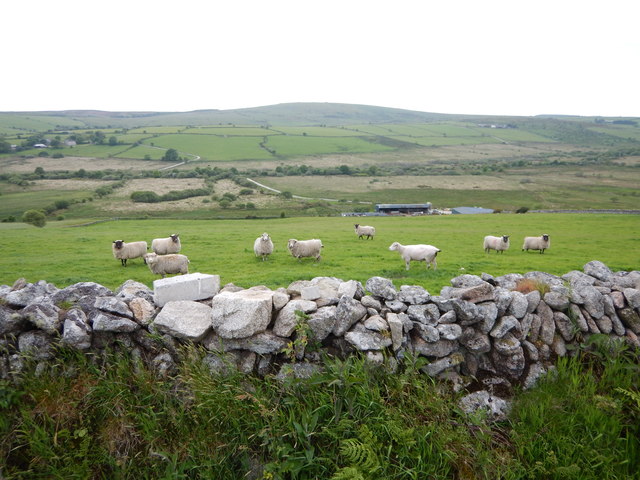
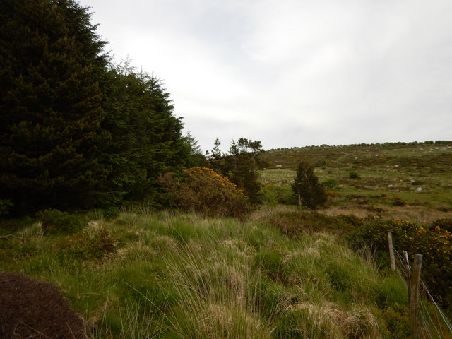
The tor itself is a granite outcrop, characterized by its rugged and distinctive appearance. It is a popular destination for hikers and nature enthusiasts, who are drawn to its natural beauty and unique geological features. The tor is also known for its historical significance, with evidence of human activity dating back thousands of years.
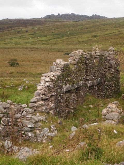
The area surrounding Hill Tor is rich in archaeological sites, including stone circles, cairns, and burial mounds. These remnants from the Bronze Age provide insight into the ancient civilizations that once inhabited the area. Additionally, Hill Tor is believed to have been used as a beacon site during the medieval period, serving as a signal point for communication across the moors.
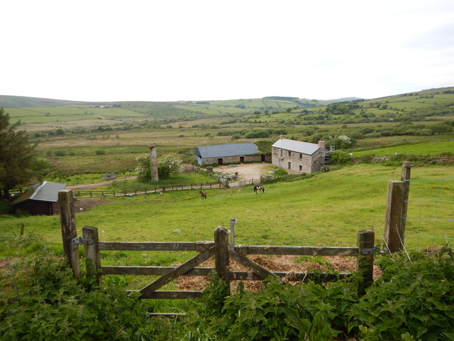
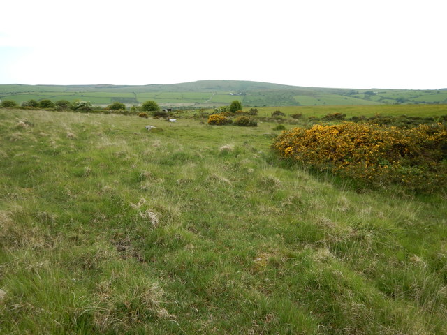
The hill is home to a diverse range of flora and fauna, including heather, gorse, and various species of birds and insects. Visitors can often spot wild ponies grazing on the moorland, adding to the picturesque landscape.
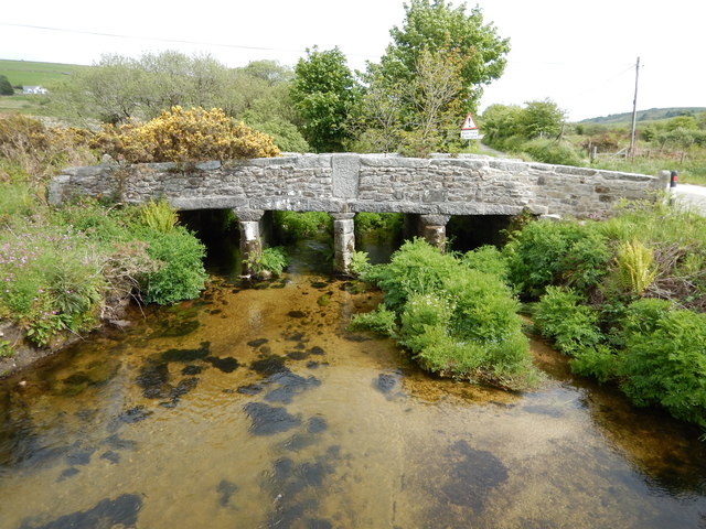
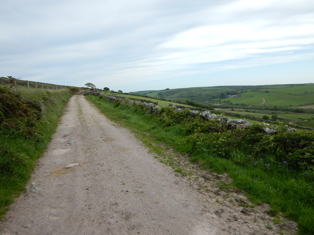
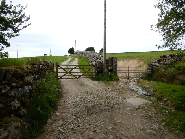
Access to Hill Tor is relatively straightforward, with a network of footpaths and trails leading to its summit. It is recommended to wear appropriate footwear and be prepared for changeable weather conditions, as the exposed nature of the tor can result in strong winds and sudden changes in temperature.
Overall, Hill Tor offers a unique blend of natural beauty, historical significance, and outdoor recreational opportunities, making it a must-visit destination for those exploring the Cornwall region.
If you have any feedback on the listing, please let us know in the comments section below.
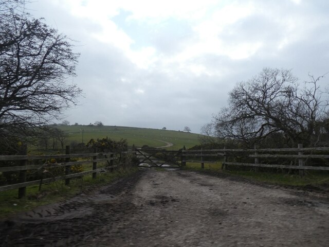
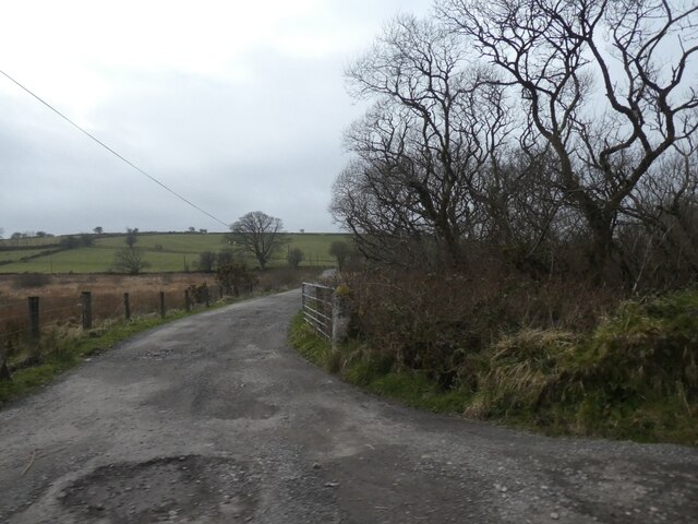
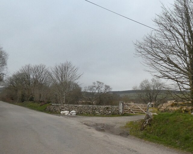
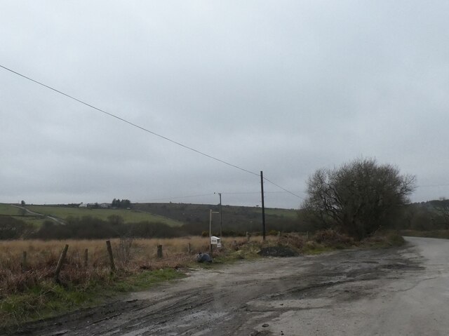
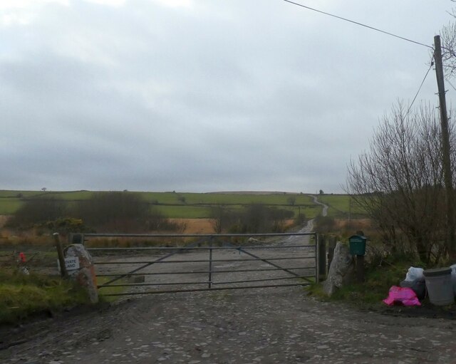
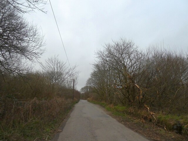
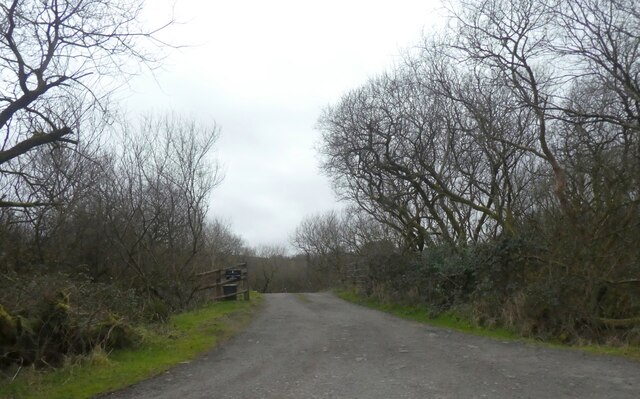
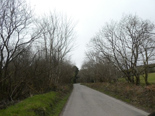
Hill Tor Images
Images are sourced within 2km of 50.538242/-4.5056086 or Grid Reference SX2273. Thanks to Geograph Open Source API. All images are credited.
Hill Tor is located at Grid Ref: SX2273 (Lat: 50.538242, Lng: -4.5056086)
Unitary Authority: Cornwall
Police Authority: Devon and Cornwall
What 3 Words
///backdrop.beakers.driving. Near North Hill, Cornwall
Nearby Locations
Related Wikis

Goodaver stone circle
Goodaver, Goodaver stone circle or Goodaver circle (grid reference SX20857515) is a stone circle located in the parish of Altarnun, near Bolventor on Bodmin...

Kilmar Tor
Kilmar Tor (Cornish: Kil Margh) is an elongated hill, 396 metres (1,299 ft) high and running from SW to NE, on Bodmin Moor in the county of Cornwall, England...
Hawk's Tor, North Hill
Hawk's Tor is an elongated hill, 329 metres (1,079 ft) high and running from WSW to ENE, on Bodmin Moor in the county of Cornwall, England, UK. It stands...
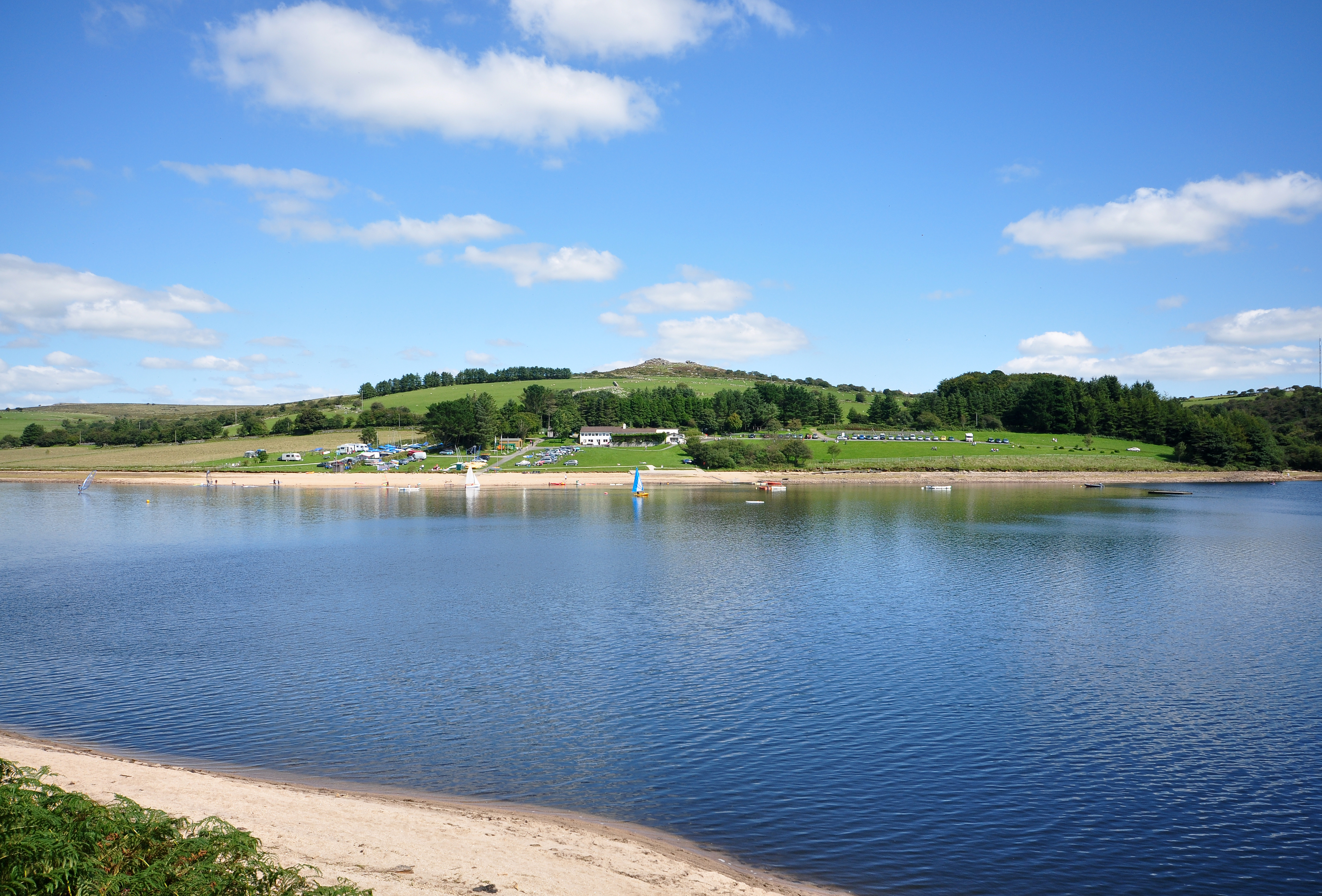
Siblyback Lake
Siblyback Lake is a reservoir on the edge of Bodmin Moor in Cornwall, England, UK. It is one of 12 areas in Cornwall designated as an Area of Outstanding...
Nearby Amenities
Located within 500m of 50.538242,-4.5056086Have you been to Hill Tor?
Leave your review of Hill Tor below (or comments, questions and feedback).