Freni Fach

Hill, Mountain in Pembrokeshire

Wales

Freni Fach

Views South on the way to Frenni Fawr
Views South on the way to Frenni Fawr Credit: thejackrustles

Freni Fach is a hill located in the county of Pembrokeshire in Wales. It is situated near the village of Maenclochog, approximately 10 miles northeast of Haverfordwest. Standing at an elevation of 419 meters (1,375 feet), Freni Fach is considered one of the prominent hills in the region.

The hill is part of the Preseli Hills range, which is known for its rugged and picturesque landscapes. Freni Fach is characterized by its steep slopes covered in heather and grass, creating a beautiful green and purple carpet during the summer months. The hill offers breathtaking panoramic views of the surrounding countryside, including the Preseli Hills and the Pembrokeshire Coast National Park.

Freni Fach is a popular destination for outdoor enthusiasts, including hikers and walkers, who are attracted to its natural beauty and challenging terrain. There are several walking routes that lead to the summit of Freni Fach, providing visitors with the opportunity to explore the hill's diverse flora and fauna along the way.

The hill also holds historical significance, as it is believed to have been an important site for Neolithic and Bronze Age communities. The nearby Carn Menyn, a rocky outcrop, is the source of the famous bluestones used in the construction of Stonehenge, making Freni Fach a place of archaeological interest.

In conclusion, Freni Fach in Pembrokeshire is a stunning hill that offers both natural beauty and historical significance. Its scenic landscapes and challenging trails make it a popular destination for outdoor enthusiasts and history lovers alike.

If you have any feedback on the listing, please let us know in the comments section below.
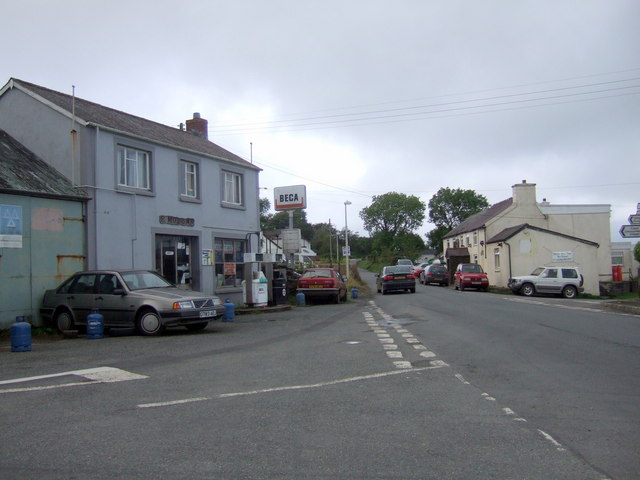
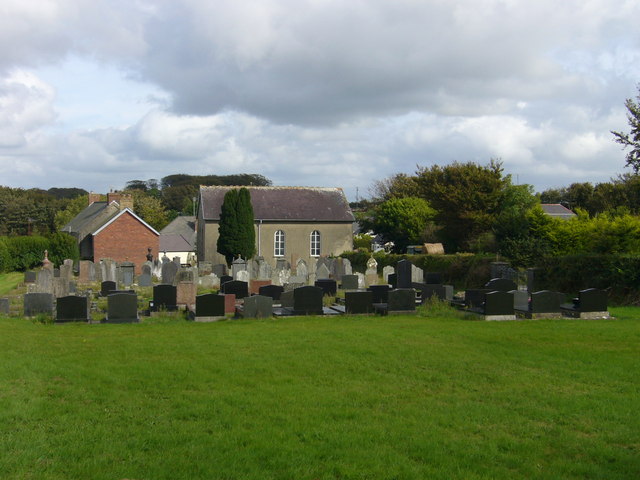
Freni Fach Images

Images are sourced within 2km of 51.984261/-4.5852799 or Grid Reference SN2234. Thanks to Geograph Open Source API. All images are credited.

Views South on the way to Frenni Fawr
Ordnance Survey Cut Mark This OS cut mark can be found on the concrete braced post north side of the road. It marks a point 207.791m above mean sea level.
Ordnance Survey Cut Mark
This OS cut mark can be found on the concrete braced post north side of the road. It marks a point 207.791m above mean sea level.
Fields near Penlan-uchaf, Penrydd In the background, trees and sheep on the slopes of Frenni Fawr.
Fields near Penlan-uchaf, Penrydd
In the background, trees and sheep on the slopes of Frenni Fawr.
Old caravan, Star
Old caravan, Star
Slopes of Frenni Fawr The usual way up from the south.
Slopes of Frenni Fawr
The usual way up from the south.
Ordnance Survey Cut Mark This OS cut mark can be found on the Star Baptist Chapel. It marks a point 119.049m above mean sea level.
Ordnance Survey Cut Mark
This OS cut mark can be found on the Star Baptist Chapel. It marks a point 119.049m above mean sea level.
Bwlchygroes Cerddwyr yn cyrraedd pentre Bwlchygroes.

Walkers arriving at Bwlchygroes village (trans. pass of the crossroads).
Bwlchygroes
Cerddwyr yn cyrraedd pentre Bwlchygroes. Walkers arriving at Bwlchygroes village (trans. pass of the crossroads).
The lane to Boncath leaving Bwlchygroes
The Butcher's Arms, Tegryn The pub sign states "Pembrokeshire's highest pub". At about 240 metres above sea level, I am quite prepared to believe it!
The Butcher's Arms, Tegryn
The pub sign states "Pembrokeshire's highest pub". At about 240 metres above sea level, I am quite prepared to believe it!
Junction of bridleway with minor road near Penlan-uchaf
Ordnance Survey Cut Mark This OS cut mark can be found on the SE angle of the chapel. It marks a point 195.887m above mean sea level.
Ordnance Survey Cut Mark
This OS cut mark can be found on the SE angle of the chapel. It marks a point 195.887m above mean sea level.
Ordnance Survey Cut Mark This OS cut mark can be found on the wall of Dolalau Cottage. It marks a point 147.270m above mean sea level.
Ordnance Survey Cut Mark
This OS cut mark can be found on the wall of Dolalau Cottage. It marks a point 147.270m above mean sea level.
Ordnance Survey Cut Mark This OS cut mark can be found on the old lodge building. It marks a point 164.325m above mean sea level.
Ordnance Survey Cut Mark
This OS cut mark can be found on the old lodge building. It marks a point 164.325m above mean sea level.
Ordnance Survey Cut Mark This OS cut mark can be found on the broken gatepost SE side of the road. It marks a point 268.816m above mean sea level.
Ordnance Survey Cut Mark
This OS cut mark can be found on the broken gatepost SE side of the road. It marks a point 268.816m above mean sea level.
Star A house bearing a star - in the village of Star
Star
A house bearing a star - in the village of Star
Tegryn village centre Tegryn is a small, mainly agricultural community, high in the Preseli hills, with a pub, post office, two garages, chapel and an area primary school in the village. Within living memory that the village contained, in addition, 4 shops, 2 tailors, a seamstress, a cobbler, an egg trader, a bus proprietor, and in close proximity to the village – a woollen mill and a blacksmith. Nevertheless, even with reduced amenities it remains a thriving centre of local rural life.

The garage on the left in the image looks as if it hasn't changed much in recent decades; the pub is straight ahead. The road leads north in the direction of Cardigan.
The community has an interesting website with lots of local information:
<span class="nowrap"><a title="http://www.northpembrokeshire.co.uk/index.php" rel="nofollow ugc noopener" href="http://www.northpembrokeshire.co.uk/index.php">Link</a><img style="margin-left:2px;" alt="External link" title="External link - shift click to open in new window" src="https://s1.geograph.org.uk/img/external.png" width="10" height="10"/></span>
Tegryn village centre
Tegryn is a small, mainly agricultural community, high in the Preseli hills, with a pub, post office, two garages, chapel and an area primary school in the village. Within living memory that the village contained, in addition, 4 shops, 2 tailors, a seamstress, a cobbler, an egg trader, a bus proprietor, and in close proximity to the village – a woollen mill and a blacksmith. Nevertheless, even with reduced amenities it remains a thriving centre of local rural life. The garage on the left in the image looks as if it hasn't changed much in recent decades; the pub is straight ahead. The road leads north in the direction of Cardigan. The community has an interesting website with lots of local information: LinkExternal link
The Butcher's Arms Tegryn The pub dates back to 1826. It's a very popular social centre for the village and surrounding area which can be bleak, lonely and windswept.
The Butcher's Arms Tegryn
The pub dates back to 1826. It's a very popular social centre for the village and surrounding area which can be bleak, lonely and windswept.
Tegryn inhabitants Tegryn's a fairly quiet backwater and when I was there a goat and two hens were the only signs of life.
Tegryn inhabitants
Tegryn's a fairly quiet backwater and when I was there a goat and two hens were the only signs of life.
Show me another place!

Freni Fach is located at Grid Ref: SN2234 (Lat: 51.984261, Lng: -4.5852799)

Unitary Authority: Pembrokeshire

Police Authority: Dyfed Powys

What 3 Words

///steamed.cello.tapers. Near Crymych, Pembrokeshire

Nearby Locations

Freni Fach

Related Wikis

Tegryn

Tegryn is a hilltop linear village in north Pembrokeshire, Wales, in the community and parish of Clydau and is the largest settlement in the community...

Cilgerran Hundred

The Hundred of Cilgerran (often written "Kilgerran") was a hundred in the north of Pembrokeshire, Wales. It was formed by the Act of Union of 1536 from...

Bwlchygroes

Bwlchygroes (; sometimes spelled Bwlch-y-groes) is a small upland rural village in the community and parish of Clydau, north Pembrokeshire, Wales, 5 miles...

Penrydd

Penrydd (variously spelled Penrhydd, Penrhudd, Penrith, Penreth or Penrieth) is a former parish in the Hundred of Kilgerran, north Pembrokeshire, Wales...

Nearby Amenities

Located within 500m of 51.984261,-4.5852799
Frenni Fach
Alt Name: Freni Fach
Ele: 301
Natural: peak
Lat/Long: 51.9847055/-4.5857025
The data included in this document is from www.openstreetmap.org. The data is made available under ODbL.

Have you been to Freni Fach?

Leave your review of Freni Fach below (or comments, questions and feedback).