Hilltor Downs
Downs, Moorland in Cornwall
England
Hilltor Downs
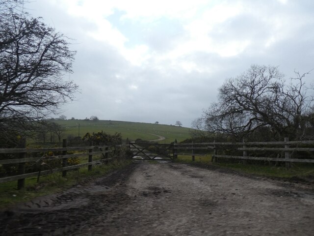
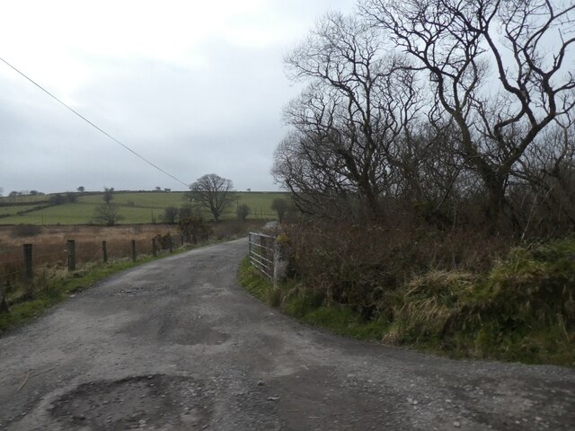
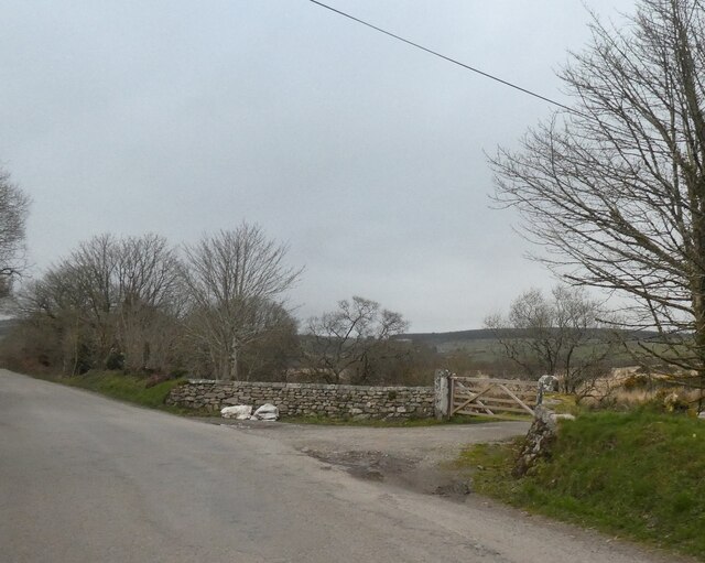
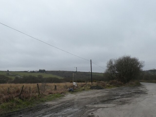
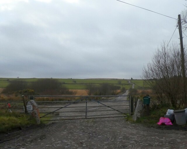
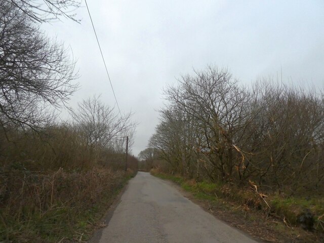
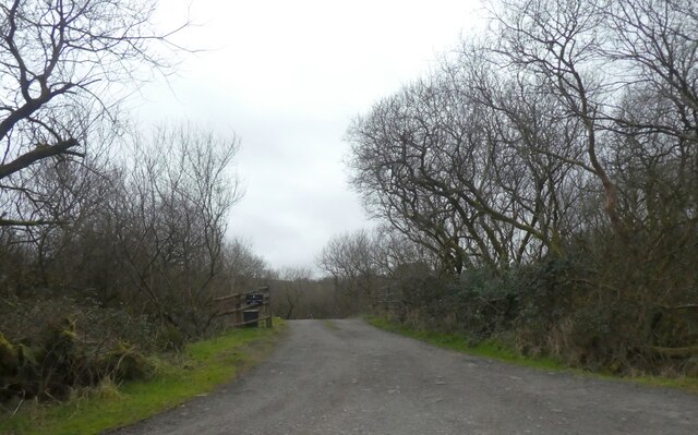
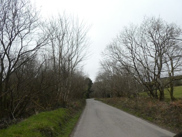
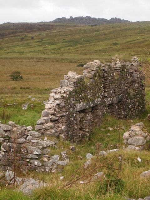
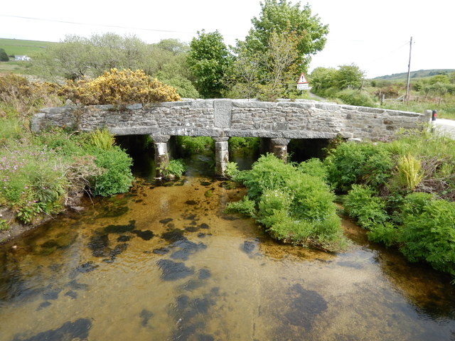
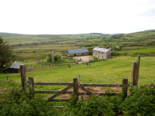
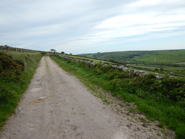
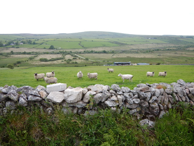
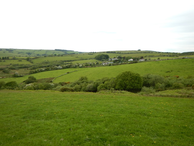
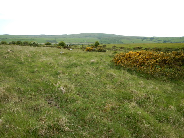
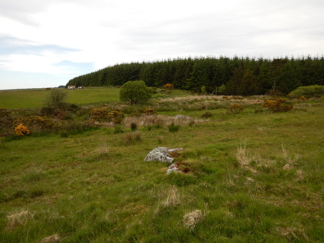
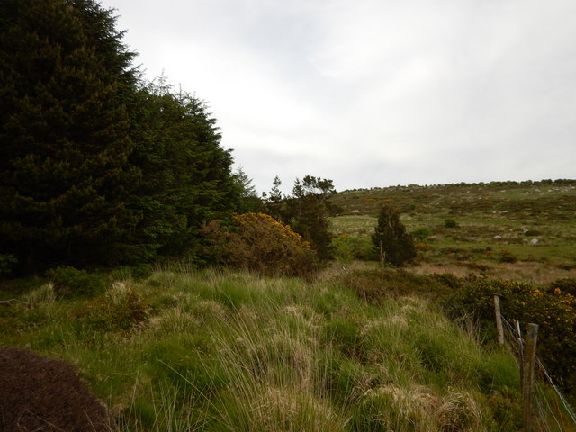
Hilltor Downs is a vast area of moorland located in Cornwall, England. Spanning over several square miles, it is a captivating landscape that showcases the natural beauty of the region. The downs are characterized by rolling hills, heather-covered moors, and scattered granite outcrops, creating a unique and picturesque scenery.
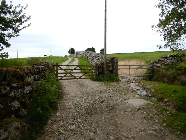
The area is renowned for its diverse flora and fauna, attracting nature enthusiasts and hikers alike. Visitors can explore the network of footpaths and trails that crisscross the downs, offering breathtaking views of the surrounding countryside. The moorland is home to a variety of wildlife, including rare bird species, such as the skylark and stonechat, as well as small mammals like rabbits and voles.
Hilltor Downs also holds historical significance, with traces of human activity dating back thousands of years. Ancient remains, including burial mounds and stone circles, can be found scattered throughout the area, serving as a testament to its rich heritage.
The downs offer a peaceful escape from the hustle and bustle of modern life, allowing visitors to immerse themselves in the tranquility and serenity of nature. It is an ideal destination for outdoor activities such as walking, hiking, and birdwatching. The open expanse of Hilltor Downs invites visitors to connect with the natural world and appreciate the unspoiled beauty of Cornwall's countryside.
If you have any feedback on the listing, please let us know in the comments section below.
Hilltor Downs Images
Images are sourced within 2km of 50.537725/-4.5074865 or Grid Reference SX2273. Thanks to Geograph Open Source API. All images are credited.
Hilltor Downs is located at Grid Ref: SX2273 (Lat: 50.537725, Lng: -4.5074865)
Unitary Authority: Cornwall
Police Authority: Devon and Cornwall
What 3 Words
///contoured.division.originals. Near North Hill, Cornwall
Nearby Locations
Related Wikis

Goodaver stone circle
Goodaver, Goodaver stone circle or Goodaver circle (grid reference SX20857515) is a stone circle located in the parish of Altarnun, near Bolventor on Bodmin...

Kilmar Tor
Kilmar Tor (Cornish: Kil Margh) is an elongated hill, 396 metres (1,299 ft) high and running from SW to NE, on Bodmin Moor in the county of Cornwall, England...
Dozmary Pool
Dozmary Pool is a small lake, in the civil parish of Altarnun on Bodmin Moor, Cornwall, UK. It is situated 16.9 kilometres (10.5 mi) from the sea and lies...
Siblyback Lake
Siblyback Lake is a reservoir on the edge of Bodmin Moor in Cornwall, England, UK. It is one of 12 areas in Cornwall designated as an Area of Outstanding...
Nearby Amenities
Located within 500m of 50.537725,-4.5074865Have you been to Hilltor Downs?
Leave your review of Hilltor Downs below (or comments, questions and feedback).