Barnshangon Hill
Hill, Mountain in Wigtownshire
Scotland
Barnshangon Hill

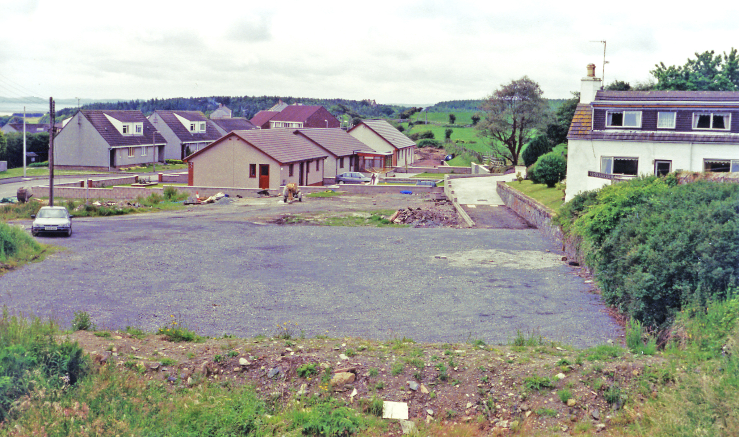
Barnshangon Hill is a prominent hill located in Wigtownshire, a historic county in southwestern Scotland. With an elevation of approximately 220 meters (720 feet), it stands as a notable feature in the local landscape and offers breathtaking panoramic views of the surrounding countryside.
Situated near the town of Wigtown, Barnshangon Hill is a popular destination for nature enthusiasts and hikers. The hill is easily accessible with a designated path that leads visitors to its summit. The trail is well-maintained and relatively moderate, making it suitable for individuals of varying fitness levels.
At the summit, visitors are rewarded with stunning vistas of the rolling hills, farmland, and nearby coastline. On clear days, it is possible to see as far as the Isle of Man and the distant peaks of the Galloway Hills. The hill's location also makes it an ideal spot for birdwatching, as various species can be spotted throughout the year.
Barnshangon Hill is surrounded by a diverse range of flora and fauna, including heather, gorse, and wildflowers. The area is also home to numerous species of birds, small mammals, and insects. This natural biodiversity adds to the charm and appeal of the hill, attracting both locals and tourists alike.
Overall, Barnshangon Hill offers a fantastic opportunity to immerse oneself in the beauty of the Scottish countryside. Whether it is for a leisurely walk, a challenging hike, or simply to enjoy the magnificent views, this hill is a must-visit destination for nature lovers and outdoor enthusiasts in Wigtownshire.
If you have any feedback on the listing, please let us know in the comments section below.
Barnshangon Hill Images
Images are sourced within 2km of 54.891566/-4.7740359 or Grid Reference NX2258. Thanks to Geograph Open Source API. All images are credited.
Barnshangon Hill is located at Grid Ref: NX2258 (Lat: 54.891566, Lng: -4.7740359)
Unitary Authority: Dumfries and Galloway
Police Authority: Dumfries and Galloway
What 3 Words
///dumpling.toolkit.common. Near Stranraer, Dumfries & Galloway
Nearby Locations
Related Wikis
Glenluce railway station
Glenluce station was a station open in 1862 on the former Port Road that was constructed on the Portpatrick and Wigtownshire Joint Railway. It served the...
Old Luce
Old Luce is a civil parish in Dumfries and Galloway, Scotland. It lies in the Machars peninsula, in the traditional county of Wigtownshire. The parish...
Glenluce
Glenluce (Scottish Gaelic: Clachan Ghlinn Lus) is a small village in the parish of Old Luce in Wigtownshire, Scotland.It contains a village shop,a caravan...
Glenluce Abbey
Glenluce Abbey, near to Glenluce, Scotland, was a Cistercian monastery called also Abbey of Luce or Vallis Lucis and founded around 1190 by Rolland or...
Castle of Park
The Castle of Park is a 16th-century L-plan tower house near Glenluce, in the historic county of Wigtownshire in Dumfries and Galloway, Scotland. It...
Barhapple Loch
Barhapple Loch is a small semicircular freshwater loch located in Wigtownshire, Dumfries and Galloway in Scotland. Barhapple Loch is principally known...
Mid Gleniron
Mid Gleniron is a prehistoric site in Dumfries and Galloway used in the Neolithic and Bronze Age. The site is a scheduled ancient monument that comprises...
Water of Luce
The Water of Luce is a river in Dumfries and Galloway, in south west Scotland.The Main Water of Luce rises in South Ayrshire, flows south to New Luce,...
Nearby Amenities
Located within 500m of 54.891566,-4.7740359Have you been to Barnshangon Hill?
Leave your review of Barnshangon Hill below (or comments, questions and feedback).


