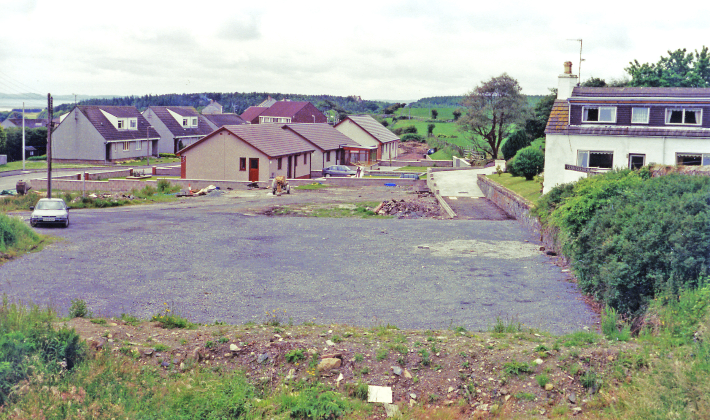
Bank Hill
Hill, Mountain in Wigtownshire
Scotland
Bank Hill

Bank Hill is a prominent hill located in the picturesque region of Wigtownshire in southwest Scotland. Rising to an elevation of approximately 245 meters (804 feet), it is recognized as one of the notable landmarks in the area. Situated close to the village of Kirkcowan, Bank Hill offers breathtaking panoramic views of the surrounding countryside, making it a popular destination for hikers, nature enthusiasts, and tourists.
The hill boasts a gentle gradient, making it accessible to visitors of varying fitness levels. Covered in lush greenery, it is home to a diverse range of flora and fauna, including heather, bracken, and various species of birds. The peaceful and serene environment makes it an ideal spot for relaxation and picnics.
Bank Hill is also of historical significance, with remnants of ancient settlements and fortifications scattered around its slopes. These archaeological sites provide insight into the area's rich history and add to the charm of the hill.
Visitors can access Bank Hill via well-maintained footpaths that meander through the countryside, offering a pleasant and enjoyable hiking experience. As they ascend to the summit, they are rewarded with stunning vistas of the rolling hills, farmland, and nearby Galloway Forest Park.
Overall, Bank Hill in Wigtownshire is a captivating natural landmark that combines historical significance with breathtaking beauty. It offers a delightful escape from the bustling city life, allowing visitors to immerse themselves in the tranquility and splendor of the Scottish countryside.
If you have any feedback on the listing, please let us know in the comments section below.
Bank Hill Images
Images are sourced within 2km of 54.885864/-4.7749381 or Grid Reference NX2258. Thanks to Geograph Open Source API. All images are credited.
Bank Hill is located at Grid Ref: NX2258 (Lat: 54.885864, Lng: -4.7749381)
Unitary Authority: Dumfries and Galloway
Police Authority: Dumfries and Galloway
What 3 Words
///ushering.mulls.pronouns. Near Stranraer, Dumfries & Galloway
Nearby Locations
Related Wikis
Glenluce railway station
Glenluce station was a station open in 1862 on the former Port Road that was constructed on the Portpatrick and Wigtownshire Joint Railway. It served the...
Old Luce
Old Luce is a civil parish in Dumfries and Galloway, Scotland. It lies in the Machars peninsula, in the traditional county of Wigtownshire. The parish...
Glenluce
Glenluce (Scottish Gaelic: Clachan Ghlinn Lus) is a small village in the parish of Old Luce in Wigtownshire, Scotland.It contains a village shop,a caravan...
Castle of Park
The Castle of Park is a 16th-century L-plan tower house near Glenluce, in the historic county of Wigtownshire in Dumfries and Galloway, Scotland. It...
Nearby Amenities
Located within 500m of 54.885864,-4.7749381Have you been to Bank Hill?
Leave your review of Bank Hill below (or comments, questions and feedback).


