Black Hill

Hill, Mountain in Wigtownshire

Scotland

Black Hill

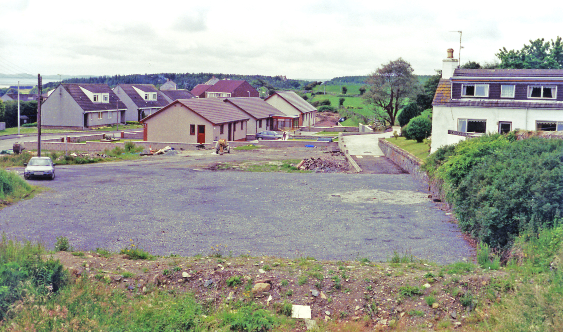
Drumlin, Glenluce
Drumlin, Glenluce Credit: Richard Webb

The requested URL returned error: 429 Too Many Requests

If you have any feedback on the listing, please let us know in the comments section below.

Black Hill Images

Images are sourced within 2km of 54.892447/-4.7638027 or Grid Reference NX2258. Thanks to Geograph Open Source API. All images are credited.

Drumlin, Glenluce
Drumlin, Glenluce
The A75 to Dumfries Viewed from the entrance to Dervaird Farm.
The A75 to Dumfries
Viewed from the entrance to Dervaird Farm.
Old Ruin, Dervaird Just off the A75.
Old Ruin, Dervaird
Just off the A75.
Antiques Dervaird Farm Sign Next to the A75.
Antiques Dervaird Farm Sign
Next to the A75.
Lion at Dervaird Guardian at the entrance to Dervaird Farm.
Lion at Dervaird
Guardian at the entrance to Dervaird Farm.
Wind Turbines at Rest On Barlockhart Moor, viewed from the A747.
Wind Turbines at Rest
On Barlockhart Moor, viewed from the A747.
The road between Carscreugh and the Grennan Looking southwest towards Carscreugh farm.
The road between Carscreugh and the Grennan
Looking southwest towards Carscreugh farm.
Moorland near Carscreugh The Knock of Luce is on the horizon.
Moorland near Carscreugh
The Knock of Luce is on the horizon.
Carscreugh farm from the Grennan road
Moorland near the Grennan The low hill is called Drumagibben - MacGibbons ridge. Rising beyond that is the Knock of Luce.
Moorland near the Grennan
The low hill is called Drumagibben - MacGibbons ridge. Rising beyond that is the Knock of Luce.
The road from Carscreugh to the Grennan Looking back towards Carsecreugh.
The road from Carscreugh to the Grennan
Looking back towards Carsecreugh.
Grennan to Carscreugh Looking down this single track road towards Carscreugh.
Grennan to Carscreugh
Looking down this single track road towards Carscreugh.
Track to Carscreugh Looking along the road to Carscreugh Farm.
Track to Carscreugh
Looking along the road to Carscreugh Farm.
Posts and Pylons The view towards Carscreugh is filled with stob fence posts, telegraph poles and electricity pylons.
Posts and Pylons
The view towards Carscreugh is filled with stob fence posts, telegraph poles and electricity pylons.
Grennan to Carscreugh Looking over towards Knockmanny.
Grennan to Carscreugh
Looking over towards Knockmanny.
Slopes of Drumagibbin Hill View to the hill from the road to Carscreugh.
Slopes of Drumagibbin Hill
View to the hill from the road to Carscreugh.
Grennan to Carscreugh Looking up the road to Grennan.
Grennan to Carscreugh
Looking up the road to Grennan.
Carscreugh Looking towards the farm.
Carscreugh
Looking towards the farm.
Show me another place!

Black Hill is located at Grid Ref: NX2258 (Lat: 54.892447, Lng: -4.7638027)

Unitary Authority: Dumfries and Galloway

Police Authority: Dumfries and Galloway

What 3 Words

///restores.award.baths. Near Stranraer, Dumfries & Galloway

Related Wikis

Barhapple Loch

Barhapple Loch is a small semicircular freshwater loch located in Wigtownshire, Dumfries and Galloway in Scotland. Barhapple Loch is principally known...

Glenluce railway station

Glenluce station was a station open in 1862 on the former Port Road that was constructed on the Portpatrick and Wigtownshire Joint Railway. It served the...

Old Luce

Old Luce is a civil parish in Dumfries and Galloway, Scotland. It lies in the Machars peninsula, in the traditional county of Wigtownshire. The parish...

Glenluce

Glenluce (Scottish Gaelic: Clachan Ghlinn Lus) is a small village in the parish of Old Luce in Wigtownshire, Scotland.It contains a village shop,a caravan...

Nearby Amenities

Located within 500m of 54.892447,-4.7638027
Power: tower
Lat/Long: 54.8940876/-4.7658161
Power: tower
Lat/Long: 54.8945526/-4.7620833
Ford: yes
Lat/Long: 54.8957329/-4.7688014
Power: pole
Lat/Long: 54.8921466/-4.7579357
Power: pole
Lat/Long: 54.8921296/-4.758743
Power: pole
Lat/Long: 54.8918743/-4.7597489
Power: pole
Lat/Long: 54.8915604/-4.7609693
Power: pole
Lat/Long: 54.8895858/-4.7687584
Power: pole
Lat/Long: 54.8898535/-4.7676627
Power: pole
Lat/Long: 54.8901628/-4.7664638
Power: pole
Lat/Long: 54.8904489/-4.7653171
Power: pole
Lat/Long: 54.8907312/-4.7642429
Power: pole
Lat/Long: 54.8909973/-4.7631714
Power: pole
Lat/Long: 54.8912681/-4.762128
Power: pole
Lat/Long: 54.8946208/-4.7579893
Power: pole
Lat/Long: 54.8944141/-4.7598213
Power: pole
Lat/Long: 54.8941935/-4.7614762
Power: pole
Lat/Long: 54.8940346/-4.76271
Power: pole
Lat/Long: 54.8938403/-4.7643408
Power: pole
Lat/Long: 54.8936598/-4.7656685
Power: pole
Lat/Long: 54.893541/-4.7667065
Power: pole
Lat/Long: 54.8933667/-4.7680664
Power: pole
Lat/Long: 54.8931492/-4.7697884
Power: pole
Lat/Long: 54.8929317/-4.7715694
Power: pole
Lat/Long: 54.8892653/-4.7687061
The data included in this document is from www.openstreetmap.org. The data is made available under ODbL.

Have you been to Black Hill?

Leave your review of Black Hill below (or comments, questions and feedback).