Brockloch Hill

Hill, Mountain in Wigtownshire

Scotland

Brockloch Hill

The Southern Upland Way near Craig Airie Fell
The Southern Upland Way near Craig Airie Fell Credit: Dave Kelly

Brockloch Hill is a prominent hill located in Wigtownshire, Scotland. It stands at an elevation of 580 meters (1,903 feet) above sea level, making it a notable landmark in the region. The hill is part of the Southern Uplands range and offers stunning panoramic views of the surrounding countryside.

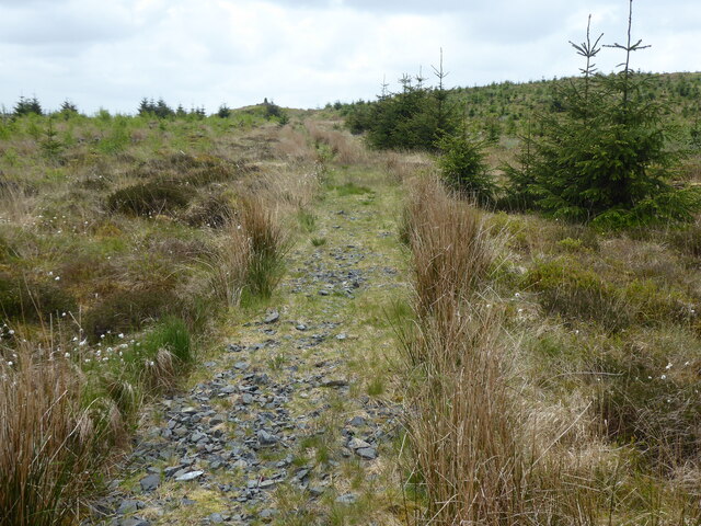
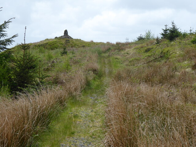
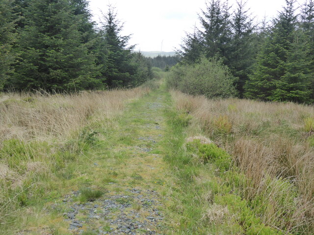
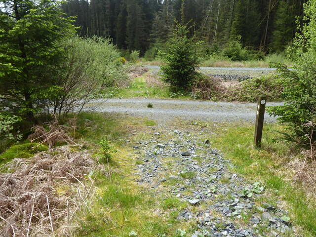
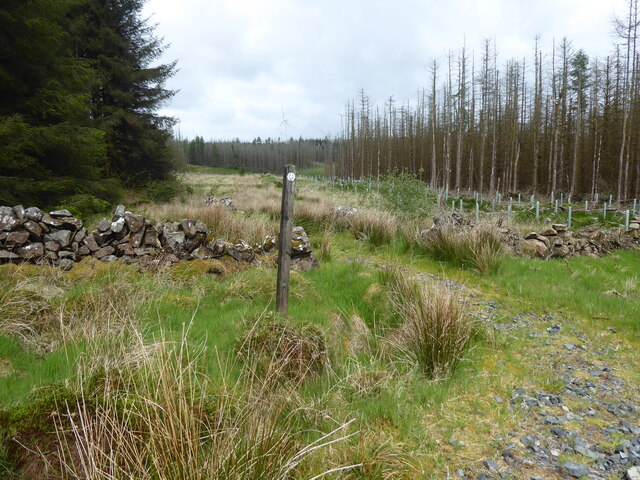
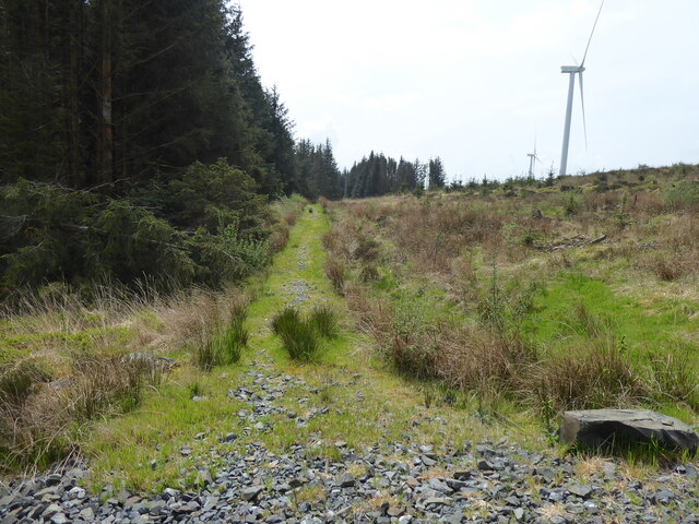
Brockloch Hill is popular among hikers and outdoor enthusiasts, with a well-marked trail leading to the summit. The hike to the top is moderate in difficulty, making it accessible to a wide range of visitors. Along the way, hikers can enjoy the diverse flora and fauna that call the hill home, including heather, gorse, and various bird species.

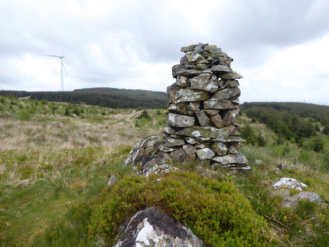
At the summit, visitors are rewarded with breathtaking views of Wigtownshire and beyond, making it a popular spot for photography and picnicking. On a clear day, it is possible to see as far as the Irish Sea and the Isle of Man.

Overall, Brockloch Hill is a must-visit destination for those looking to experience the natural beauty and tranquility of the Scottish countryside.

If you have any feedback on the listing, please let us know in the comments section below.

Brockloch Hill Images

Images are sourced within 2km of 55.01216/-4.7825016 or Grid Reference NX2272. Thanks to Geograph Open Source API. All images are credited.

The Southern Upland Way near Craig Airie Fell
The Southern Upland Way near Craig-dhu
The Southern Upland Way near Wells of the Rees
The Southern Upland Way near Brockloch Hill
The Southern Upland Way near Laggangarn
The Southern Upland Way near Muirglass
Path heading into the trees near Muirglass The Southern Upland Way diverges from a forestry track and heads into a ride along a stony path.
Path heading into the trees near Muirglass
The Southern Upland Way diverges from a forestry track and heads into a ride along a stony path.
Wind turbine, Kilgallioch Forest One of only 96 wind turbines which make up the Kilgallioch Wind Farm.
Wind turbine, Kilgallioch Forest
One of only 96 wind turbines which make up the Kilgallioch Wind Farm.
Wind turbines in Kilgallioch Forest Looking across a cleared area of the forest with the tops of three wind turbines peeking over the brow of the sloping ground.
Wind turbines in Kilgallioch Forest
Looking across a cleared area of the forest with the tops of three wind turbines peeking over the brow of the sloping ground.
Clearing in Kilgallioch Forest A large grassy area free from tree cover in Kilgallioch Forest. The wooden shelter provides a small but welcome overnight resting place.
Clearing in Kilgallioch Forest
A large grassy area free from tree cover in Kilgallioch Forest. The wooden shelter provides a small but welcome overnight resting place.
Ruins at Laggangarn The ruins of old walls in the forest clearing at Laggangarn.
Ruins at Laggangarn
The ruins of old walls in the forest clearing at Laggangarn.
Path approaching Laggangarn Standing Stones A path through the Kilgallioch Forest which passes the standing stones near Laggangarn.
Path approaching Laggangarn Standing Stones
A path through the Kilgallioch Forest which passes the standing stones near Laggangarn.
Show me another place!

Brockloch Hill is located at Grid Ref: NX2272 (Lat: 55.01216, Lng: -4.7825016)

Unitary Authority: Dumfries and Galloway

Police Authority: Dumfries and Galloway

What 3 Words

///question.speech.narrowest. Near Cairnryan, Dumfries & Galloway

Related Wikis

Kilgallioch

Kilgallioch Wind Farm is a 96 turbine wind farm in South Ayrshire, Scotland with a total capacity of up to 239 megawatts (MW). Consent granted by the Scottish...

Glenwhilly railway station

Glenwhilly railway station served the area of Glenwhilly, Dumfries and Galloway, Scotland from 1887 to 1965 on the Girvan and Portpatrick Junction Railway...

Arecleoch Wind Farm

Arecleoch Wind Farm is a 60 turbine wind farm in South Ayrshire, Scotland with a total capacity of 120 megawatts (MW), enough to power over 67,000 homes...

Loch Dornal

Loch Dornal is an irregular shaped, shallow, freshwater loch in south Ayrshire, in the Southern Uplands of Scotland. It lies approximately eight miles...

Nearby Amenities

Located within 500m of 55.01216,-4.7825016
Generator Method: wind_turbine
Generator Source: wind
Generator Type: horizontal_axis
Power: generator
Lat/Long: 55.0139619/-4.7789991
The data included in this document is from www.openstreetmap.org. The data is made available under ODbL.

Have you been to Brockloch Hill?

Leave your review of Brockloch Hill below (or comments, questions and feedback).