Bught Hill
Hill, Mountain in Wigtownshire
Scotland
Bught Hill

Bught Hill is a prominent landmark located in Wigtownshire, a historic county in southwestern Scotland. It is classified as a hill, rather than a mountain, with an elevation of approximately 192 meters (630 feet). The hill is situated near the village of Bught, which lies about 3 kilometers (1.9 miles) southeast of the town of Newton Stewart.
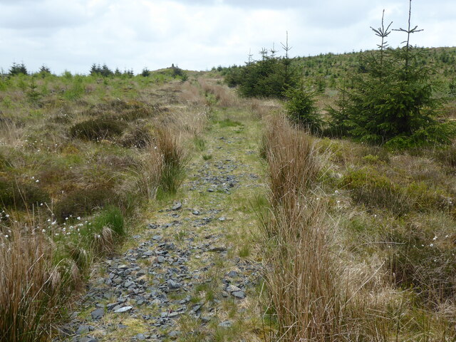
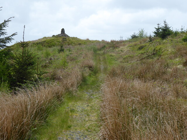
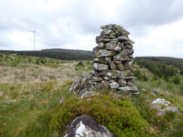
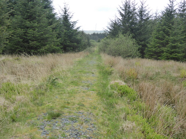
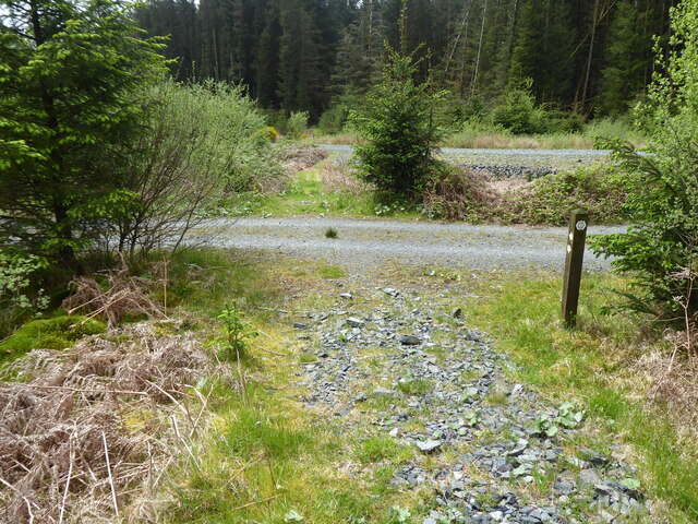
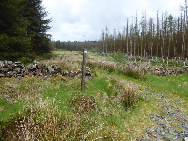
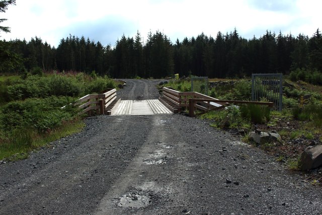
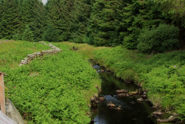
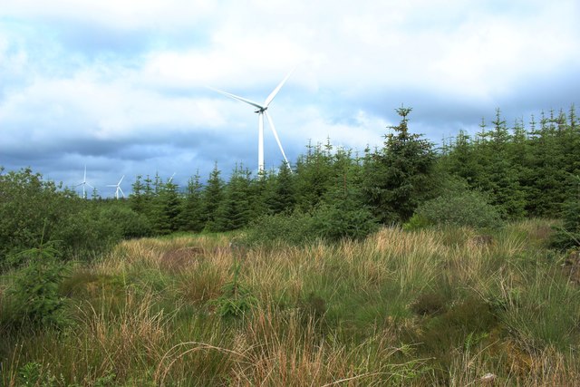
Bught Hill boasts lush green slopes and offers stunning panoramic views of the surrounding countryside. It is a popular destination for hikers, nature enthusiasts, and locals seeking a peaceful retreat. The hill's terrain is relatively gentle, making it accessible to walkers of various fitness levels.
The area surrounding Bught Hill is home to a diverse range of flora and fauna. Nature lovers can expect to encounter various bird species, including buzzards and kestrels, as well as a variety of wildflowers and plant life. The hill is also known for its ancient woodland, providing a habitat for an array of wildlife.
Visitors to Bught Hill can take advantage of the numerous walking trails that crisscross its slopes, allowing for exploration of its natural beauty. The hill is also home to an ancient burial ground, adding a historical element to its appeal.
Overall, Bught Hill in Wigtownshire offers a peaceful and scenic escape for those wishing to immerse themselves in the natural beauty of the Scottish countryside. Its accessibility and diverse ecosystem make it an ideal destination for outdoor enthusiasts and nature lovers alike.
If you have any feedback on the listing, please let us know in the comments section below.
Bught Hill Images
Images are sourced within 2km of 55.01758/-4.7848799 or Grid Reference NX2272. Thanks to Geograph Open Source API. All images are credited.


Bught Hill is located at Grid Ref: NX2272 (Lat: 55.01758, Lng: -4.7848799)
Unitary Authority: Dumfries and Galloway
Police Authority: Dumfries and Galloway
What 3 Words
///beside.cookers.centrally. Near Cairnryan, Dumfries & Galloway
Nearby Locations
Related Wikis

Kilgallioch
Kilgallioch Wind Farm is a 96 turbine wind farm in South Ayrshire, Scotland with a total capacity of up to 239 megawatts (MW). Consent granted by the Scottish...

Glenwhilly railway station
Glenwhilly railway station served the area of Glenwhilly, Dumfries and Galloway, Scotland from 1887 to 1965 on the Girvan and Portpatrick Junction Railway...

Arecleoch Wind Farm
Arecleoch Wind Farm is a 60 turbine wind farm in South Ayrshire, Scotland with a total capacity of 120 megawatts (MW), enough to power over 67,000 homes...

Loch Dornal
Loch Dornal is an irregular shaped, shallow, freshwater loch in south Ayrshire, in the Southern Uplands of Scotland. It lies approximately eight miles...
The Lagafater Estate
Lagafater is a 7000-acre (2832.8 ha) former sporting estate near New Luce in Dumfries and Galloway, Scotland. Since 1910 it has been in the family of its...

Loups of Dalnigap
Loups of Dalnigap is a waterfall of Scotland. It sits below Dalnigap House, in the South of the Lagafater Estate. == See also == Waterfalls of Scotland...

Tarf Water, Wigtownshire
The Tarf Water is a river in the former county of Wigtownshire in south-west Scotland. It rises on the Ayrshire border (55.0048°N 4.7815°W / 55.0048;...

Barrhill railway station
Barrhill railway station is a railway station serving the village of Barrhill, South Ayrshire, Scotland. The station is managed by ScotRail and is on the...
Nearby Amenities
Located within 500m of 55.01758,-4.7848799Have you been to Bught Hill?
Leave your review of Bught Hill below (or comments, questions and feedback).