Balmurrie Fell
Hill, Mountain in Wigtownshire
Scotland
Balmurrie Fell
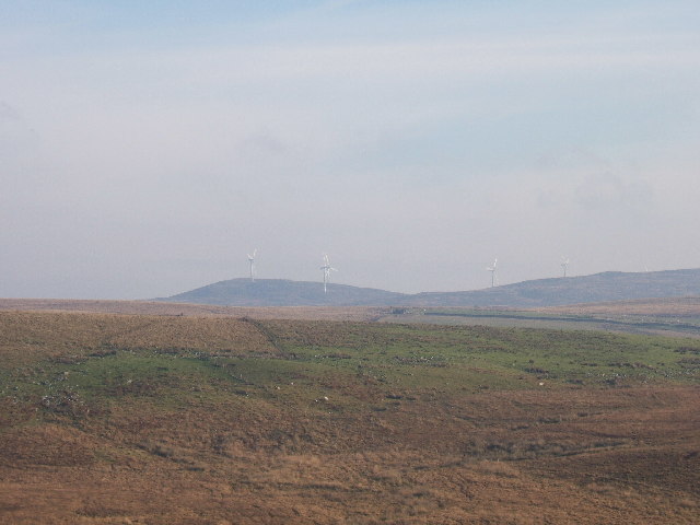
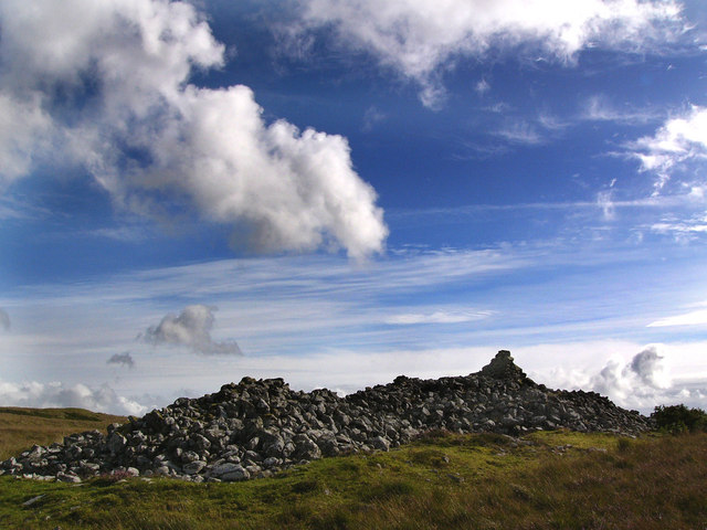
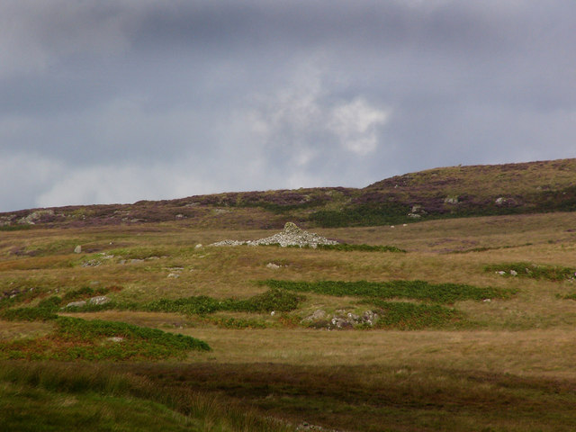
Balmurrie Fell is a prominent hill located in the region of Wigtownshire, in the southwestern part of Scotland. It is situated within the Galloway Forest Park, which is renowned for its breathtaking landscapes and natural beauty. Standing at an elevation of approximately 506 meters (1,660 feet), Balmurrie Fell offers stunning panoramic views of the surrounding countryside.
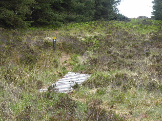
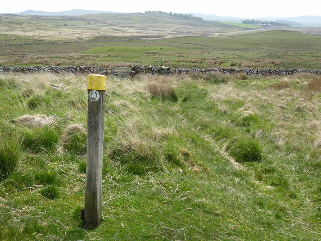
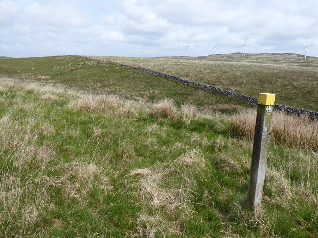
The hill is a popular destination for outdoor enthusiasts, including hikers and walkers, who are attracted to its well-defined trails and challenging terrain. The ascent to the summit can be accomplished via various routes, each offering a unique experience. The most common approach is from the nearby village of Barrhill, where a path leads up through heather-covered slopes, passing by picturesque streams and cascading waterfalls.
At the top of Balmurrie Fell, visitors are rewarded with sweeping vistas across the Galloway Hills, including views of nearby mountains such as Cairnsmore of Carsphairn and the Rhinns of Kells. On a clear day, it is even possible to catch a glimpse of the Irish Sea in the distance.
The area surrounding Balmurrie Fell is also known for its rich biodiversity. The hill is home to a variety of wildlife, including red deer, mountain hares, and a diverse range of bird species. It is not uncommon to spot golden eagles soaring overhead or hear the distinctive calls of curlews and peregrine falcons.
Overall, Balmurrie Fell is a captivating natural landmark that offers outdoor enthusiasts an opportunity to immerse themselves in Scotland's stunning countryside, while enjoying breathtaking vistas and encountering its diverse wildlife.
If you have any feedback on the listing, please let us know in the comments section below.
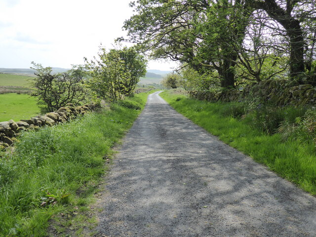
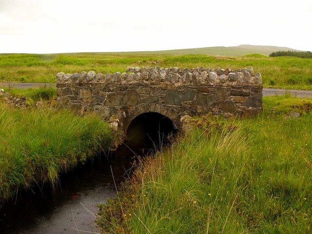
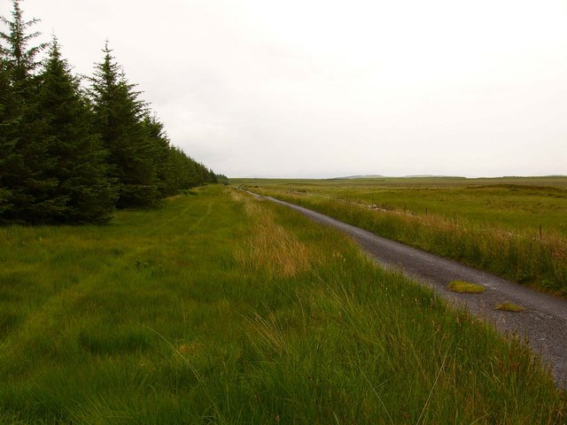
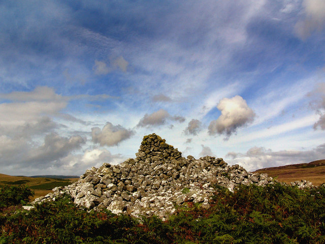
Balmurrie Fell Images
Images are sourced within 2km of 54.965919/-4.7815989 or Grid Reference NX2267. Thanks to Geograph Open Source API. All images are credited.


Balmurrie Fell is located at Grid Ref: NX2267 (Lat: 54.965919, Lng: -4.7815989)
Unitary Authority: Dumfries and Galloway
Police Authority: Dumfries and Galloway
What 3 Words
///boom.custodial.zones. Near Cairnryan, Dumfries & Galloway
Nearby Locations
Related Wikis

Tarf Water, Wigtownshire
The Tarf Water is a river in the former county of Wigtownshire in south-west Scotland. It rises on the Ayrshire border (55.0048°N 4.7815°W / 55.0048;...

New Luce
New Luce (Scottish Gaelic: Baile Ùr Ghlinn Lus) is a civil parish in Dumfries and Galloway, south-west Scotland. It lies in the traditional county of Wigtownshire...

New Luce railway station
New Luce railway station served the village of New Luce, Dumfries and Galloway, Scotland from 1887 to 1965 on the Girvan and Portpatrick Junction Railway...

Glenwhilly railway station
Glenwhilly railway station served the area of Glenwhilly, Dumfries and Galloway, Scotland from 1887 to 1965 on the Girvan and Portpatrick Junction Railway...

Mid Gleniron
Mid Gleniron is a prehistoric site in Dumfries and Galloway used in the Neolithic and Bronze Age. The site is a scheduled ancient monument that comprises...

Barhapple Loch
Barhapple Loch is a small semicircular freshwater loch located in Wigtownshire, Dumfries and Galloway in Scotland. Barhapple Loch is principally known...

Glenluce Abbey
Glenluce Abbey, near to Glenluce, Scotland, was a Cistercian monastery called also Abbey of Luce or Vallis Lucis and founded around 1190 by Rolland or...

Loups of Dalnigap
Loups of Dalnigap is a waterfall of Scotland. It sits below Dalnigap House, in the South of the Lagafater Estate. == See also == Waterfalls of Scotland...
Nearby Amenities
Located within 500m of 54.965919,-4.7815989Have you been to Balmurrie Fell?
Leave your review of Balmurrie Fell below (or comments, questions and feedback).