Idzholm Hill

Hill, Mountain in Renfrewshire

Scotland

Idzholm Hill

Ardgowan Point Viewed from the slip at Inverkip Yacht Club.
Ardgowan Point Credit: Thomas Nugent

Idzholm Hill, located in Renfrewshire, Scotland, is a picturesque hill that offers stunning panoramic views of the surrounding landscapes. Standing at an elevation of approximately 207 meters (679 feet), it is considered a prominent landmark in the area. The hill is situated near the town of Lochwinnoch, which lies about 24 kilometers (15 miles) southwest of Glasgow.

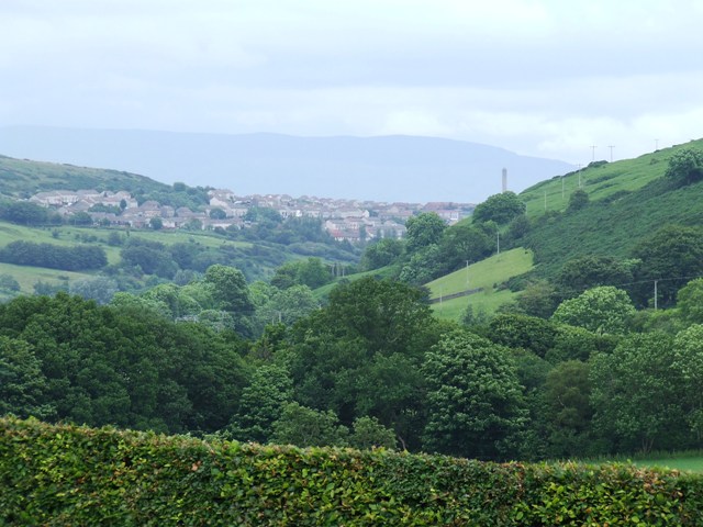
Idzholm Hill is renowned for its natural beauty, attracting both locals and tourists alike. It is covered in lush greenery, featuring a mix of grasslands, heather, and scattered trees. The terrain is relatively gentle, making it accessible for hikers of various skill levels. Many walking trails crisscross the hill, providing visitors with the opportunity to explore its charming surroundings.

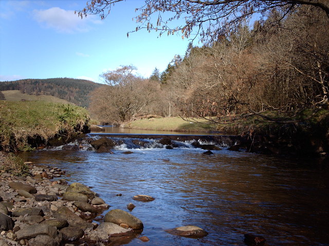
At the summit of Idzholm Hill, visitors are rewarded with breathtaking panoramic views of the Renfrewshire countryside. On a clear day, one can see the rolling hills, meandering rivers, and distant mountains in the distance. The hill is particularly popular among photographers, who often capture the stunning sunset and sunrise scenes from the summit.

In addition to its natural beauty, Idzholm Hill is also rich in historical significance. It is believed to have been inhabited as early as the Iron Age, with numerous archaeological remains discovered in the vicinity. These include ancient settlements, burial sites, and remnants of defensive structures.

Overall, Idzholm Hill offers a serene and peaceful escape from the hustle and bustle of everyday life. It provides an opportunity for nature lovers to immerse themselves in the beauty of the Scottish countryside while enjoying its rich history.

If you have any feedback on the listing, please let us know in the comments section below.
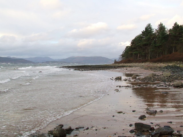
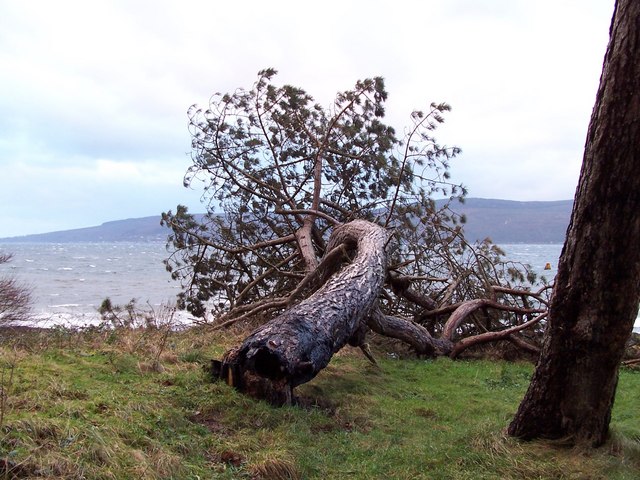
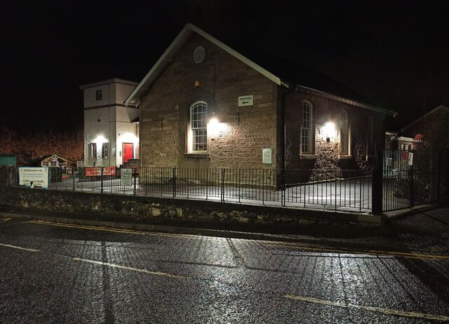
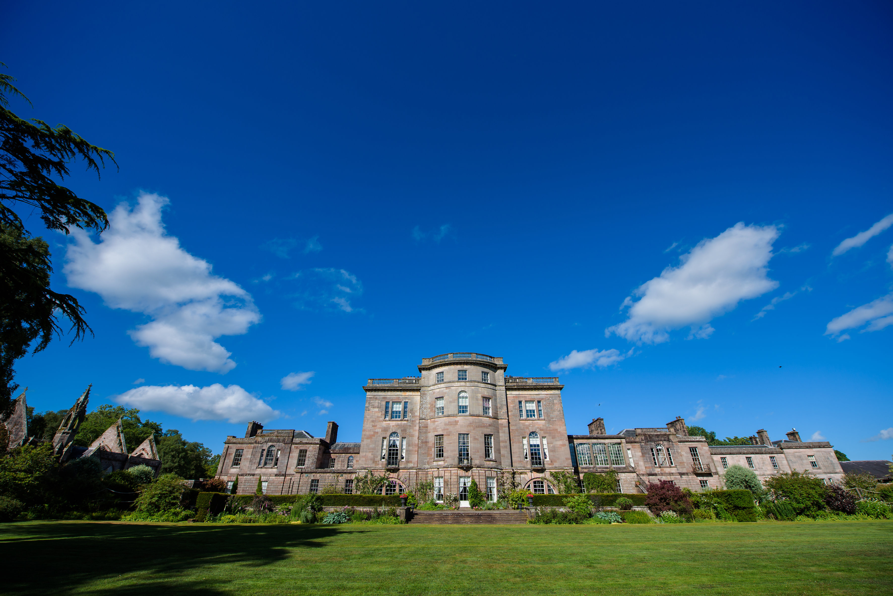
Idzholm Hill Images

Images are sourced within 2km of 55.918298/-4.8518469 or Grid Reference NS2173. Thanks to Geograph Open Source API. All images are credited.

Ardgowan Point Viewed from the slip at Inverkip Yacht Club.
Ardgowan Point
Viewed from the slip at Inverkip Yacht Club.
Ardgowan Point Viewed from the beach near Kip marina.
Ardgowan Point
Viewed from the beach near Kip marina.
Vandalised tree Successive camp fires lit against the base of this tree on the coast at Ardgowan Point finally took their toll.
Vandalised tree
Successive camp fires lit against the base of this tree on the coast at Ardgowan Point finally took their toll.
Logs One of several felled trees in Crow Wood at Ardgowan Point.
Logs
One of several felled trees in Crow Wood at Ardgowan Point.
Concrete blocks On the rocky shoreline at Ardgowan Point. There are two blocks, each about 5 feet high, most likely WWII tank traps.
Concrete blocks
On the rocky shoreline at Ardgowan Point. There are two blocks, each about 5 feet high, most likely WWII tank traps.
Ardgowan Point Looking into the north wind towards Lunderston Bay and Cloch Point.
Ardgowan Point
Looking into the north wind towards Lunderston Bay and Cloch Point.
Path at Ardgowan Point Popular with walkers and cyclists. Inverkip Power Station jetty and oil storage tanks can be seen in the distance.
Path at Ardgowan Point
Popular with walkers and cyclists. Inverkip Power Station jetty and oil storage tanks can be seen in the distance.
Ardgowan Point A calm winter day, viewed from the end of the old jetty "The Laird's Dyke".
Ardgowan Point
A calm winter day, viewed from the end of the old jetty "The Laird's Dyke".
Ardgowan Point The concrete blocks on the beach are old tank traps. Mallard ducks are not a common sight here.
Ardgowan Point
The concrete blocks on the beach are old tank traps. Mallard ducks are not a common sight here.
Dunrod Well - Shielhill Glen Dunrod Well
Dunrod Well - Shielhill Glen
Dunrod Well
Kip Marina from Station Avenue A rare splash of sunlight on an otherwise grey (and windy) Christmas Day 2021.

See the same Christmas Day view over the years <a title="https://www.geograph.org.uk/search.php?i=198639054&page=1&displayclass=black" href="https://www.geograph.org.uk/search.php?i=198639054&page=1&displayclass=black">Link</a> .
Kip Marina from Station Avenue
A rare splash of sunlight on an otherwise grey (and windy) Christmas Day 2021. See the same Christmas Day view over the years Link .
Christmas yarn-bombed pillar box in Inverkip The box on Station Road has been decorated again this year.
Christmas yarn-bombed pillar box in Inverkip
The box on Station Road has been decorated again this year.
Christmas yarn-bombed pillar box in Inverkip The box on Station Road has been decorated again.
Christmas yarn-bombed pillar box in Inverkip
The box on Station Road has been decorated again.
Inverkip Primary School  A night view of the original part of the much extended school, which was built in 1836.
Inverkip Primary School
A night view of the original part of the much extended school, which was built in 1836.
The Foresters House B&B The business on Station Road changed ownership fairly recently.

Web site; <span class="nowrap"><a title="https://www.theforestersguesthouse.com/" rel="nofollow ugc noopener" href="https://www.theforestersguesthouse.com/">Link</a><img style="margin-left:2px;" alt="External link" title="External link - shift click to open in new window" src="https://s1.geograph.org.uk/img/external.png" width="10" height="10"/></span> .
The Foresters House B&B
The business on Station Road changed ownership fairly recently. Web site; LinkExternal link .
Inverkip Hotel A night view of the hotel, which is the most prominent building on Main Street.

Hotel web site: <span class="nowrap"><a title="https://inverkip.co.uk/" rel="nofollow ugc noopener" href="https://inverkip.co.uk/">Link</a><img style="margin-left:2px;" alt="External link" title="External link - shift click to open in new window" src="https://s1.geograph.org.uk/img/external.png" width="10" height="10"/></span> .
Inverkip Hotel
A night view of the hotel, which is the most prominent building on Main Street. Hotel web site: LinkExternal link .
Taeping at Kip marina Taeping is a 60 foot ocean going racing yacht which is based at Kip marina.

Further reading - <span class="nowrap"><a title="https://sailscotland.co.uk/business/ocean-sailing-scotland/" rel="nofollow ugc noopener" href="https://sailscotland.co.uk/business/ocean-sailing-scotland/">Link</a><img style="margin-left:2px;" alt="External link" title="External link - shift click to open in new window" src="https://s1.geograph.org.uk/img/external.png" width="10" height="10"/></span> .

Smaller yacht Kezzie-Anne is also pictured, with The Chartroom bar and restaurant in the background.
Taeping at Kip marina
Taeping is a 60 foot ocean going racing yacht which is based at Kip marina. Further reading - LinkExternal link . Smaller yacht Kezzie-Anne is also pictured, with The Chartroom bar and restaurant in the background.
Santa and snowman yarn bombs On the fence of the astroturf pitch at Inverkip Community Hub.

See also <a href="https://www.geograph.org.uk/photo/7066669">NS2172 : Astroturf pitch at Inverkip</a>.
Santa and snowman yarn bombs
On the fence of the astroturf pitch at Inverkip Community Hub. See also NS2172 : Astroturf pitch at Inverkip.
Show me another place!

Idzholm Hill is located at Grid Ref: NS2173 (Lat: 55.918298, Lng: -4.8518469)

Unitary Authority: Inverclyde

Police Authority: Renfrewshire and Inverclyde

What 3 Words

///youths.brand.drum. Near Inverkip, Inverclyde

Related Wikis

Nearby Amenities

Located within 500m of 55.918298,-4.8518469
Power: pole
Lat/Long: 55.9146655/-4.8476062
Power: pole
Lat/Long: 55.9168133/-4.8449429
Railway: switch
Lat/Long: 55.9172312/-4.8450114
Give Way
Direction: forward
Lat/Long: 55.9189891/-4.8576986
Crossing
Lat/Long: 55.9192641/-4.8575267
Power: pole
Lat/Long: 55.9210403/-4.8568529
Power: pole
Lat/Long: 55.9208104/-4.8536177
Power: pole
Lat/Long: 55.9206563/-4.8526948
Power: pole
Lat/Long: 55.9206061/-4.8515616
Power: pole
Lat/Long: 55.9205477/-4.8498429
Power: pole
Lat/Long: 55.9205092/-4.8487805
Power: pole
Lat/Long: 55.9204707/-4.8475452
Power: pole
Lat/Long: 55.9201135/-4.8454099
Power: pole
Lat/Long: 55.9170391/-4.8441842
Power: pole
Lat/Long: 55.9144049/-4.8479962
Power: pole
Lat/Long: 55.9145788/-4.8481545
Power: pole
Lat/Long: 55.9153132/-4.8470712
Power: pole
Lat/Long: 55.916051/-4.8460088
Crossing
Lat/Long: 55.9188746/-4.8589422
Crossing
Lat/Long: 55.9187991/-4.8589732
Give Way
Direction: forward
Lat/Long: 55.9188454/-4.8583965
Give Way
Direction: forward
Lat/Long: 55.9185163/-4.8581806
Give Way
Direction: forward
Lat/Long: 55.9187305/-4.8574644
The data included in this document is from www.openstreetmap.org. The data is made available under ODbL.

Have you been to Idzholm Hill?

Leave your review of Idzholm Hill below (or comments, questions and feedback).