Cock Hill

Hill, Mountain in Wigtownshire

Scotland

Cock Hill

Arched Rock bed at Portdown bay
Arched Rock bed at Portdown bay Credit: Tony Page

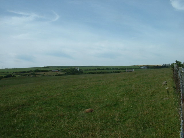
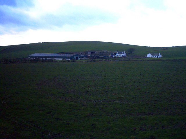
Cock Hill is a prominent hill located in Wigtownshire, a historic county in the southwest of Scotland. Situated near the village of Kirkcowan, Cock Hill is part of the Galloway Hills range, which is known for its picturesque landscapes and diverse wildlife.

Standing at an elevation of approximately 1,315 feet (401 meters), Cock Hill offers breathtaking views of the surrounding countryside. Its location in the Southern Uplands ensures that it is easily accessible for hikers and nature enthusiasts. The hill is characterized by its gently sloping sides and rounded summit, making it an ideal destination for both experienced climbers and casual walkers.

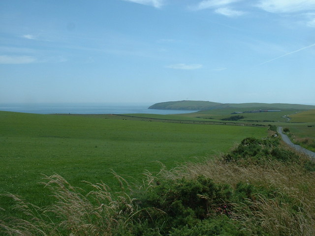
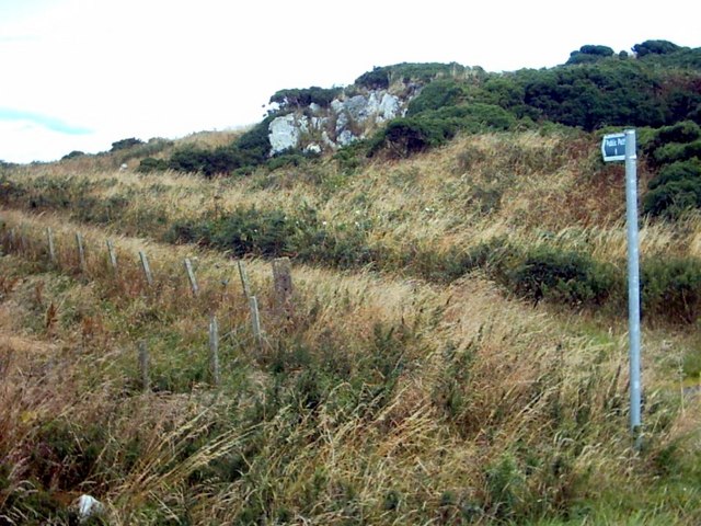
The area around Cock Hill is rich in natural beauty, with heather-covered moorland, dense forests, and sparkling streams. The hill itself is home to a variety of flora and fauna, including red deer, red squirrels, and various bird species. It is not uncommon to spot buzzards soaring overhead or catch a glimpse of a hare darting through the undergrowth.

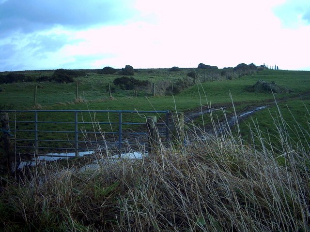
For those interested in exploring the hill, there are several walking routes available, ranging from short, leisurely strolls to more challenging hikes. The most popular route starts from the village of Kirkcowan and follows a well-marked trail to the summit of Cock Hill. Along the way, walkers can enjoy the tranquility of the countryside and take in the panoramic views of the surrounding hills and valleys.

In summary, Cock Hill in Wigtownshire is a beautiful and accessible hill that offers stunning views and a chance to immerse oneself in the natural wonders of the Galloway Hills.

If you have any feedback on the listing, please let us know in the comments section below.
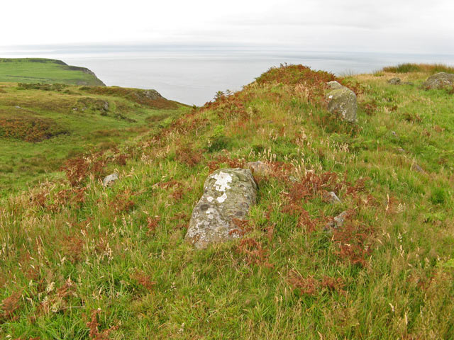
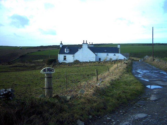
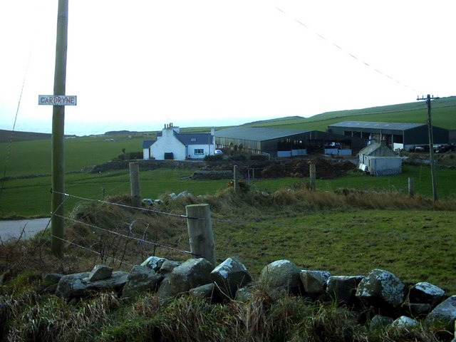
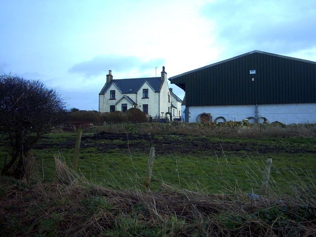
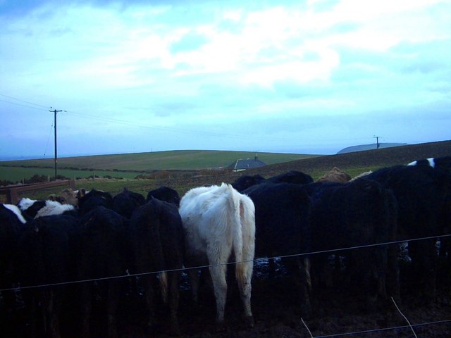
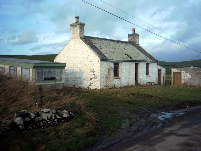
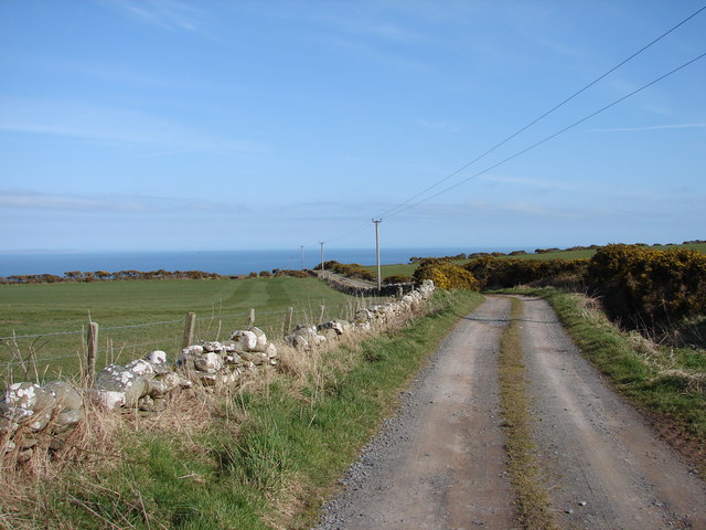
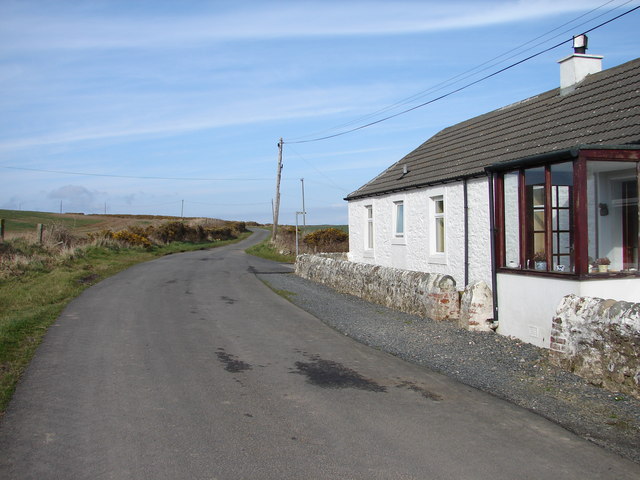
Cock Hill Images

Images are sourced within 2km of 54.664971/-4.9219856 or Grid Reference NX1133. Thanks to Geograph Open Source API. All images are credited.

Arched Rock bed at Portdown bay
Dunman fort It proved impossible to find a viewpoint that does justice to this fine piece of fortification on the aptly named hill of Dunman, since it is the highest point around. Quite a lot of rock protrudes from the southern rampart which follows a distinct cleft in the hill. The fort commands a fine view of the North Channel as it is situated above formidable cliffs.
Dunman fort
It proved impossible to find a viewpoint that does justice to this fine piece of fortification on the aptly named hill of Dunman, since it is the highest point around. Quite a lot of rock protrudes from the southern rampart which follows a distinct cleft in the hill. The fort commands a fine view of the North Channel as it is situated above formidable cliffs.
Portdown Bay A vertiginous drop down a gully from the sheep path at the edge of the cliffs leads to the optimistically-named Portdown Bay.
Portdown Bay
A vertiginous drop down a gully from the sheep path at the edge of the cliffs leads to the optimistically-named Portdown Bay.
Honey for Sale At Castlemoor on road to Mull of Galloway.
Honey for Sale
At Castlemoor on road to Mull of Galloway.
Fields near Castlemoor Looking south, towards the Mull of Galloway.
Fields near Castlemoor
Looking south, towards the Mull of Galloway.
Cottages at Castlemoor Looking north.
Cottages at Castlemoor
Looking north.
Path to Castle Clanyard
Damnaglaur Damnaglaur is a hamlet about a mile above the village of Drummore.  The Galloway Hills are visible across Luce Bay.
Damnaglaur
Damnaglaur is a hamlet about a mile above the village of Drummore. The Galloway Hills are visible across Luce Bay.
Creechan Moor
Creechan Moor
Conjured Knowe Why Conjured Knowe?  The Knowe ('knoll' in ancient Scottish) may have been made up or manufactured.
Conjured Knowe
Why Conjured Knowe? The Knowe ('knoll' in ancient Scottish) may have been made up or manufactured.
Mid Muntloch Farm The farm has surely one of the longest barns in existence?  The hill behind the farm is Slewhabble.
Mid Muntloch Farm
The farm has surely one of the longest barns in existence? The hill behind the farm is Slewhabble.
Knowes Farm The Knowes translates as 'the knolls' in the ancient Scottish language.  There is certainly a surfeit of grassy knolls in the area.
Knowes Farm
The Knowes translates as 'the knolls' in the ancient Scottish language. There is certainly a surfeit of grassy knolls in the area.
Cardryne Farm Owing to the decline in profitability of dairy farming Cardryne, like many other local dairy farms, is currently for sale.
Cardryne Farm
Owing to the decline in profitability of dairy farming Cardryne, like many other local dairy farms, is currently for sale.
East Muntloch Farm East Muntloch is one of the farms locally to have diversified into offering holiday and B&B accommodation.
East Muntloch Farm
East Muntloch is one of the farms locally to have diversified into offering holiday and B&B accommodation.
Pulinkum Farm and Slewmag Just the roof of buildings on Pulinkum Farm can be seen.  The hill behind is Slewmag, and the Mull of Galloway can be seen in the distance on the right of the picture.
Pulinkum Farm and Slewmag
Just the roof of buildings on Pulinkum Farm can be seen. The hill behind is Slewmag, and the Mull of Galloway can be seen in the distance on the right of the picture.
Knowes Cottage One of many local farm cottages awaiting sympathetic restoration.
Knowes Cottage
One of many local farm cottages awaiting sympathetic restoration.
Creechan Farm Track Track from B7041 leads east and down to Creechan Farm on The Rhins.
Creechan Farm Track
Track from B7041 leads east and down to Creechan Farm on The Rhins.
East Cairngaan Cottage Remote cottage situated on the lane from Mull School (B7041) to Cardrain. Nearby is Jenny Smit's Well, a natural spring.
East Cairngaan Cottage
Remote cottage situated on the lane from Mull School (B7041) to Cardrain. Nearby is Jenny Smit's Well, a natural spring.
Show me another place!

Cock Hill is located at Grid Ref: NX1133 (Lat: 54.664971, Lng: -4.9219856)

Unitary Authority: Dumfries and Galloway

Police Authority: Dumfries and Galloway

What 3 Words

///unfolds.cabbies.tracks. Near Drummore, Dumfries & Galloway

Related Wikis

Cairngaan

Cairngaan, Wigtownshire, is the southmost settlement in Scotland. The hamlet of Cairngaan lies just north of the Mull of Galloway (which contains Scotland...

Kirkmaiden (village)

Kirkmaiden (sometimes Maidenkirk; Scottish Gaelic: Cill M'Eudan) is a small settlement in Galloway, Scotland, located approximately 17 miles (27 km) south...

Kirkmaiden

Kirkmaiden is a parish in the Rhins of Galloway, the most southerly in Scotland; the present Church of Scotland parish has the same name as and is approximately...

Drummore

Drummore (drum-ORE; (from Gaelic An Druim Mòr meaning "the great ridge") is the southernmost village in Scotland, located at the southern end of the Rhins...

Mull of Galloway

The Mull of Galloway (Scottish Gaelic: Maol nan Gall, pronounced [mɯːlˠ̪ nəŋ ˈkaulˠ̪]; grid reference NX158303) is the southernmost point of Scotland....

Port Logan

Port Logan, formerly Port Nessock, is a small village in the parish of Kirkmaiden in the Rhins of Galloway in Wigtownshire. The Gaelic name is Port Neasaig...

Logan Botanic Garden

Logan Botanic Garden is a botanical garden near Port Logan on the Rhins of Galloway, at the south-western tip of Scotland. The Botanic Garden was established...

Pasages (steam trawler)

ST Pasages (FD 119) was originally a Canadian "Castle" – TR series minesweeping trawler built by the Dominion Shipbuilding Company, Toronto, in 1917 for...

Nearby Amenities

Located within 500m of 54.664971,-4.9219856
Power: pole
Lat/Long: 54.6618376/-4.917688
Power: pole
Lat/Long: 54.6620014/-4.9188793
Power: pole
Lat/Long: 54.6621552/-4.9201384
Power: pole
Lat/Long: 54.6623358/-4.9215664
Power: pole
Lat/Long: 54.6628711/-4.9226122
Power: pole
Lat/Long: 54.6634042/-4.9237355
Power: pole
Lat/Long: 54.6638844/-4.924727
Power: pole
Lat/Long: 54.6644253/-4.9258503
Power: pole
Lat/Long: 54.6649457/-4.9269215
Power: pole
Lat/Long: 54.6654857/-4.928033
Power: pole
Lat/Long: 54.6659536/-4.9290109
Power: pole
Lat/Long: 54.6654756/-4.9264266
Power: pole
Lat/Long: 54.6660703/-4.9258717
Power: pole
Lat/Long: 54.6666628/-4.9253148
Power: pole
Lat/Long: 54.6672384/-4.9247813
Power: pole
Lat/Long: 54.6642665/-4.927581
Power: pole
Lat/Long: 54.6635742/-4.9282193
Power: pole
Lat/Long: 54.6629132/-4.9288402
Mid Muntoch
Place: farm
Lat/Long: 54.6622555/-4.9172313
The data included in this document is from www.openstreetmap.org. The data is made available under ODbL.

Have you been to Cock Hill?

Leave your review of Cock Hill below (or comments, questions and feedback).