McWhinnie's Moss

Downs, Moorland in Wigtownshire

Scotland

McWhinnie's Moss

Fields near Castlemoor Looking south, towards the Mull of Galloway.
Fields near Castlemoor Credit: David Medcalf

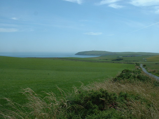
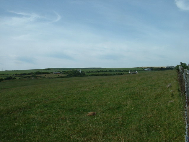
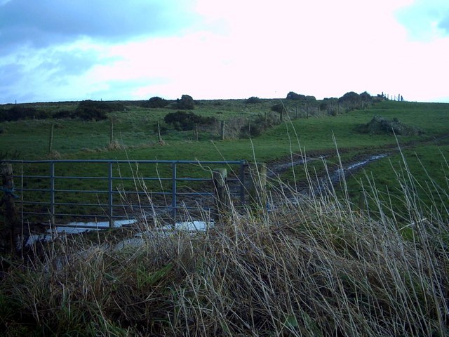
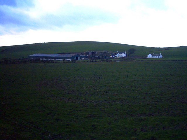
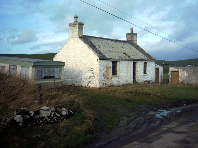
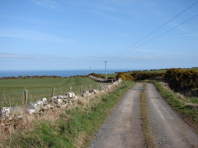
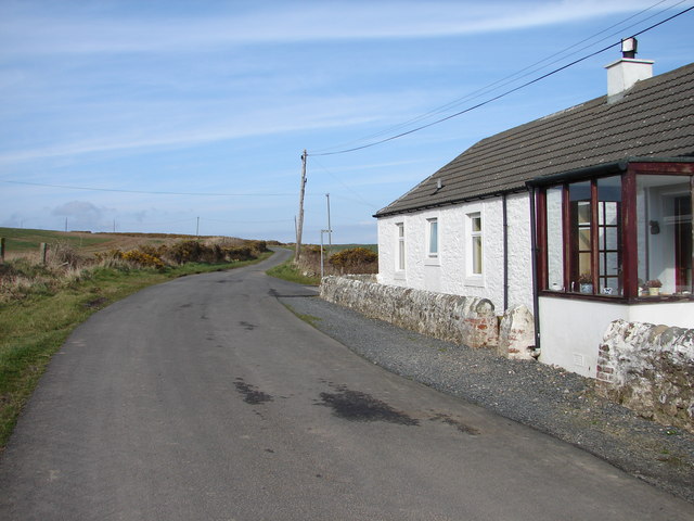
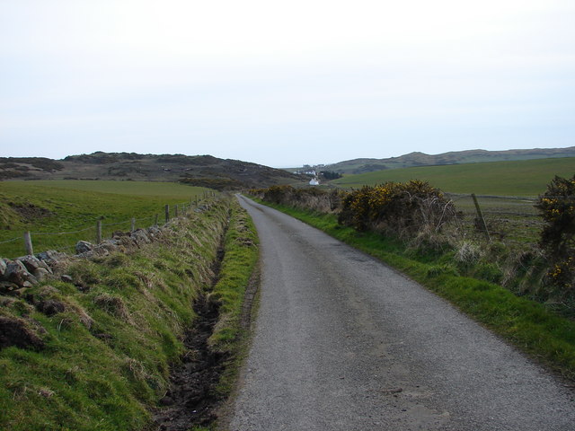
McWhinnie's Moss is a unique and picturesque area located in Wigtownshire, Scotland. Spanning across downs and moorland, it covers a vast expanse of approximately 200 acres. The moss is situated in a low-lying area, characterized by its extensive peat deposits, rich biodiversity, and tranquil surroundings.

As visitors step onto McWhinnie's Moss, they are greeted by a mesmerizing landscape, defined by rolling hills, heather-covered moors, and scattered patches of lush grassland. The area is renowned for its diverse range of plant species, including cotton grass, bog myrtle, and various types of mosses. These plants thrive due to the damp and acidic nature of the peat soil, creating a vibrant and colorful tapestry.

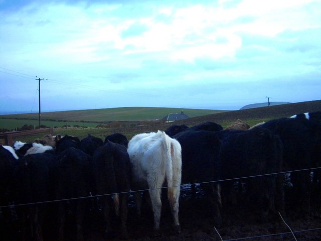
The moss is also home to a variety of fauna, with several bird species frequenting the area. Common sights include curlews, lapwings, and snipes, which can be spotted darting through the sky or nesting in the surrounding heathlands. The tranquil atmosphere and natural beauty of McWhinnie's Moss make it an ideal location for birdwatching enthusiasts and nature lovers.

The moss is accessible through well-maintained walking trails, allowing visitors to explore its unique ecosystem at their own pace. These trails wind through the downs and moorland, offering breathtaking views of the surrounding countryside. The area is also a popular spot for outdoor activities such as hiking, photography, and picnicking.

A visit to McWhinnie's Moss promises an unforgettable experience, immersing visitors in the beauty of nature and providing a peaceful retreat from the hustle and bustle of everyday life.

If you have any feedback on the listing, please let us know in the comments section below.

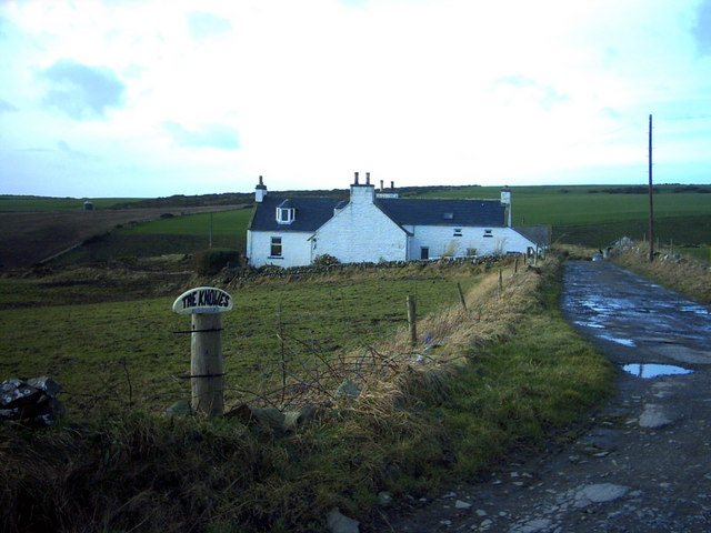
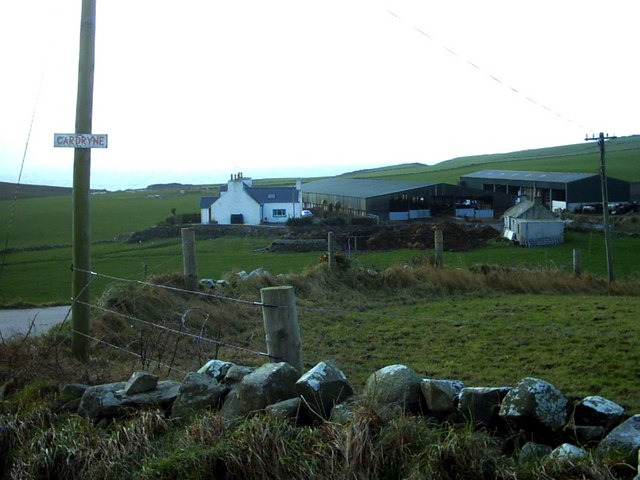
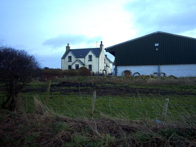
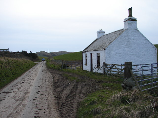
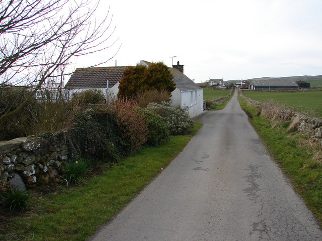
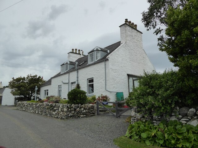
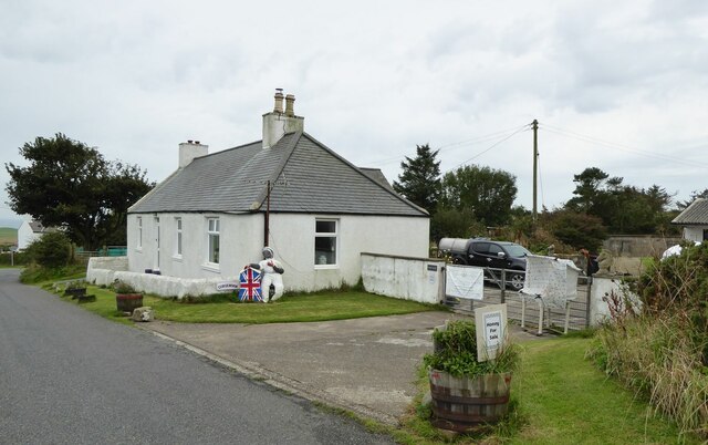
McWhinnie's Moss Images

Images are sourced within 2km of 54.66554/-4.9192967 or Grid Reference NX1133. Thanks to Geograph Open Source API. All images are credited.

Fields near Castlemoor Looking south, towards the Mull of Galloway.
Fields near Castlemoor
Looking south, towards the Mull of Galloway.
Cottages at Castlemoor Looking north.
Cottages at Castlemoor
Looking north.
Damnaglaur Damnaglaur is a hamlet about a mile above the village of Drummore.  The Galloway Hills are visible across Luce Bay.
Damnaglaur
Damnaglaur is a hamlet about a mile above the village of Drummore. The Galloway Hills are visible across Luce Bay.
Creechan Moor
Creechan Moor
Conjured Knowe Why Conjured Knowe?  The Knowe ('knoll' in ancient Scottish) may have been made up or manufactured.
Conjured Knowe
Why Conjured Knowe? The Knowe ('knoll' in ancient Scottish) may have been made up or manufactured.
Mid Muntloch Farm The farm has surely one of the longest barns in existence?  The hill behind the farm is Slewhabble.
Mid Muntloch Farm
The farm has surely one of the longest barns in existence? The hill behind the farm is Slewhabble.
Knowes Farm The Knowes translates as 'the knolls' in the ancient Scottish language.  There is certainly a surfeit of grassy knolls in the area.
Knowes Farm
The Knowes translates as 'the knolls' in the ancient Scottish language. There is certainly a surfeit of grassy knolls in the area.
Cardryne Farm Owing to the decline in profitability of dairy farming Cardryne, like many other local dairy farms, is currently for sale.
Cardryne Farm
Owing to the decline in profitability of dairy farming Cardryne, like many other local dairy farms, is currently for sale.
East Muntloch Farm East Muntloch is one of the farms locally to have diversified into offering holiday and B&B accommodation.
East Muntloch Farm
East Muntloch is one of the farms locally to have diversified into offering holiday and B&B accommodation.
Pulinkum Farm and Slewmag Just the roof of buildings on Pulinkum Farm can be seen.  The hill behind is Slewmag, and the Mull of Galloway can be seen in the distance on the right of the picture.
Pulinkum Farm and Slewmag
Just the roof of buildings on Pulinkum Farm can be seen. The hill behind is Slewmag, and the Mull of Galloway can be seen in the distance on the right of the picture.
Knowes Cottage One of many local farm cottages awaiting sympathetic restoration.
Knowes Cottage
One of many local farm cottages awaiting sympathetic restoration.
Creechan Farm Track Track from B7041 leads east and down to Creechan Farm on The Rhins.
Creechan Farm Track
Track from B7041 leads east and down to Creechan Farm on The Rhins.
East Cairngaan Cottage Remote cottage situated on the lane from Mull School (B7041) to Cardrain. Nearby is Jenny Smit's Well, a natural spring.
East Cairngaan Cottage
Remote cottage situated on the lane from Mull School (B7041) to Cardrain. Nearby is Jenny Smit's Well, a natural spring.
West Muntloch Road from Damnaglaur to Knockencule descends westward to West Muntloch.
West Muntloch
Road from Damnaglaur to Knockencule descends westward to West Muntloch.
West Muntloch Cottage Derelict cottage by the tractor-muddied lane at West Muntloch.
West Muntloch Cottage
Derelict cottage by the tractor-muddied lane at West Muntloch.
Afton and Inshanks View northwest from Afton to Inshanks dairy farm.
Afton and Inshanks
View northwest from Afton to Inshanks dairy farm.
Damnaglaur House In the hamlet of Damnaglaur.
Damnaglaur House
In the hamlet of Damnaglaur.
Honey for Sale At Castlemoor on road to Mull of Galloway.
Honey for Sale
At Castlemoor on road to Mull of Galloway.
Show me another place!

McWhinnie's Moss is located at Grid Ref: NX1133 (Lat: 54.66554, Lng: -4.9192967)

Unitary Authority: Dumfries and Galloway

Police Authority: Dumfries and Galloway

What 3 Words

///player.reported.electrode. Near Drummore, Dumfries & Galloway

Related Wikis

Cairngaan

Cairngaan, Wigtownshire, is the southmost settlement in Scotland. The hamlet of Cairngaan lies just north of the Mull of Galloway (which contains Scotland...

Kirkmaiden (village)

Kirkmaiden (sometimes Maidenkirk; Scottish Gaelic: Cill M'Eudan) is a small settlement in Galloway, Scotland, located approximately 17 miles (27 km) south...

Kirkmaiden

Kirkmaiden is a parish in the Rhins of Galloway, the most southerly in Scotland; the present Church of Scotland parish has the same name as and is approximately...

Drummore

Drummore (drum-ORE; (from Gaelic An Druim Mòr meaning "the great ridge") is the southernmost village in Scotland, located at the southern end of the Rhins...

Nearby Amenities

Located within 500m of 54.66554,-4.9192967
Power: pole
Lat/Long: 54.6616423/-4.9161494
Power: pole
Lat/Long: 54.6618376/-4.917688
Power: pole
Lat/Long: 54.6620014/-4.9188793
Power: pole
Lat/Long: 54.6621552/-4.9201384
Power: pole
Lat/Long: 54.6623358/-4.9215664
Power: pole
Lat/Long: 54.6628711/-4.9226122
Power: pole
Lat/Long: 54.6634042/-4.9237355
Power: pole
Lat/Long: 54.6638844/-4.924727
Power: pole
Lat/Long: 54.6644253/-4.9258503
Power: pole
Lat/Long: 54.6649457/-4.9269215
Power: pole
Lat/Long: 54.6654756/-4.9264266
Power: pole
Lat/Long: 54.6660703/-4.9258717
Power: pole
Lat/Long: 54.6666628/-4.9253148
Power: pole
Lat/Long: 54.6672384/-4.9247813
Mid Muntoch
Place: farm
Lat/Long: 54.6622555/-4.9172313
The data included in this document is from www.openstreetmap.org. The data is made available under ODbL.

Have you been to McWhinnie's Moss?

Leave your review of McWhinnie's Moss below (or comments, questions and feedback).