Black Craig
Hill, Mountain in Argyllshire
Scotland
Black Craig

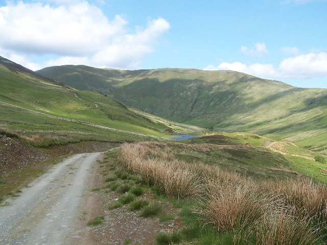
Black Craig is a prominent hill located in Argyllshire, Scotland. Situated in the southwestern part of the country, it forms part of the stunning mountainous region known as Argyll and Bute. With an elevation of approximately 437 meters (1,433 feet), Black Craig offers breathtaking panoramic views of the surrounding landscapes.
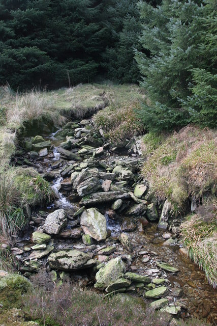
The hill is characterized by its rugged and rocky terrain, making it a popular destination for hikers and mountaineers seeking a challenging climb. Its slopes are covered with heather, moss, and patches of grass, providing a diverse ecosystem for various flora and fauna species.
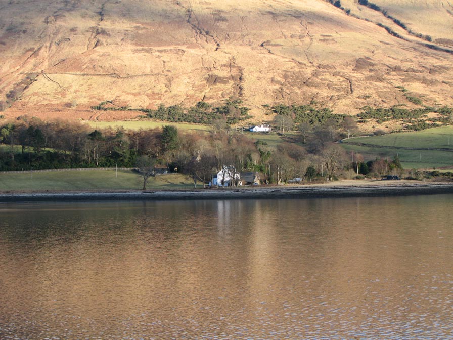
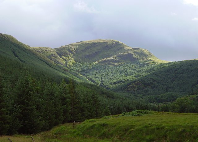
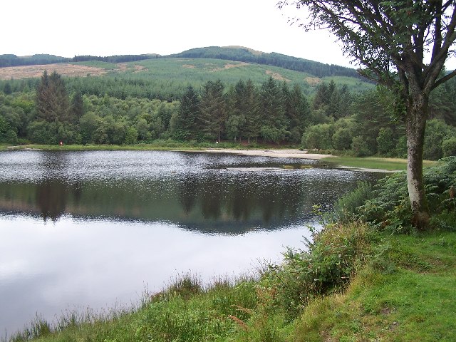
Black Craig is situated within close proximity to Loch Eck, a picturesque freshwater loch, enhancing the scenic beauty of the area. The hill is also surrounded by dense woodlands, including coniferous forests, adding further to its natural charm.
The summit of Black Craig offers an excellent vantage point for sightseeing, allowing visitors to admire the stunning vistas of the surrounding hills, lochs, and forests. On clear days, it is possible to see as far as the distant peaks of the Arrochar Alps and the Isle of Bute.
Access to Black Craig is relatively straightforward, with several well-marked trails leading to the summit. However, caution is advised as the terrain can be steep and uneven in places.
Overall, Black Craig is a beautiful and challenging hill in Argyllshire, offering outdoor enthusiasts a chance to immerse themselves in Scotland's breathtaking natural beauty.
If you have any feedback on the listing, please let us know in the comments section below.
Black Craig Images
Images are sourced within 2km of 55.940441/-5.0183507 or Grid Reference NS1176. Thanks to Geograph Open Source API. All images are credited.


Black Craig is located at Grid Ref: NS1176 (Lat: 55.940441, Lng: -5.0183507)
Unitary Authority: Argyll and Bute
Police Authority: Argyll and West Dunbartonshire
What 3 Words
///hurricane.acid.playful. Near Dunoon, Argyll & Bute
Nearby Locations
Related Wikis

Inverchaolain Church
Inverchaolain Church is a former Church of Scotland church building in Inverchaolain, Argyll and Bute, Scotland. Located on the eastern shores of Loch...
Inverchaolain
Inverchaolain is a hamlet on the Cowal peninsula, Argyll and Bute, Scotland. It lies on the east shore of Loch Striven, to the south of Glenstriven and...

Loch Striven
Loch Striven (Scottish Gaelic: Loch Sroigheann) is a sea loch extending off the Firth of Clyde, and forms part of the Cowal peninsula coast, in Argyll...
Cruach nan Capull
Cruach nan Capull is a mountain within the Arrochar Alps, near Loch Fyne, in Argyll and Bute, Scotland. It stands on the southern side of Hell's Glen and...
Bishop's Glen Reservoir
Bishop's Glen Reservoir also known as Dunoon Reservoir used to be the source for drinking water for the town of Dunoon on the Cowal peninsula, Argyll...

Holy Trinity Church, Dunoon
Holy Trinity Church is an Episcopalian church building in Dunoon, Argyll and Bute, Scotland. It is located on Kilbride Road, southwest of the town centre...

Kilbride Bridge
Kilbride Bridge is a bridge in Dunoon, Argyll and Bute, Scotland. A Category C listed structure, it carries the traffic of Auchamore Road. It is made of...

Ardhallow Battery
Ardhallow Battery a Palmerston Fort on the slopes of Corlarach Hill on the Cowal peninsula, around 3km south of Dunoon, on the west coast of the Firth...
Nearby Amenities
Located within 500m of 55.940441,-5.0183507Have you been to Black Craig?
Leave your review of Black Craig below (or comments, questions and feedback).