Garry Hill
Hill, Mountain in Ayrshire
Scotland
Garry Hill
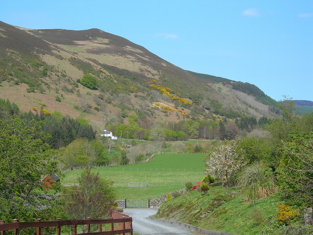
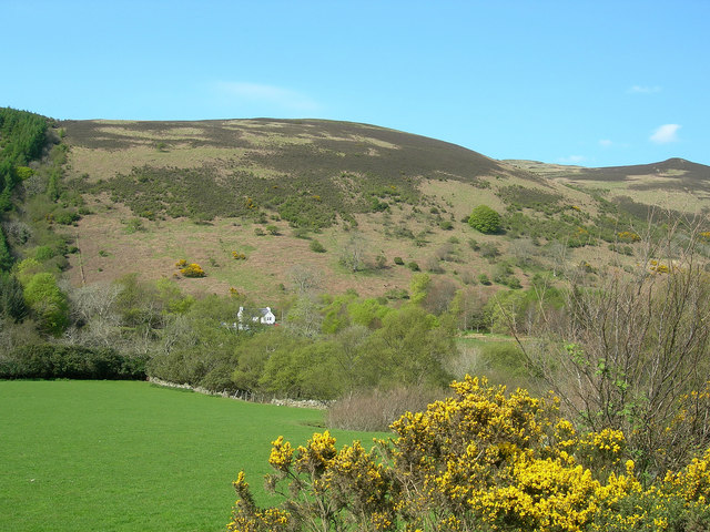
Garry Hill is a prominent landmark located in Ayrshire, Scotland. Known for its picturesque beauty and rich history, Garry Hill stands tall as a prominent hill in the region. It is situated approximately 5 kilometers northwest of the town of Ayr.
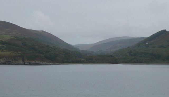
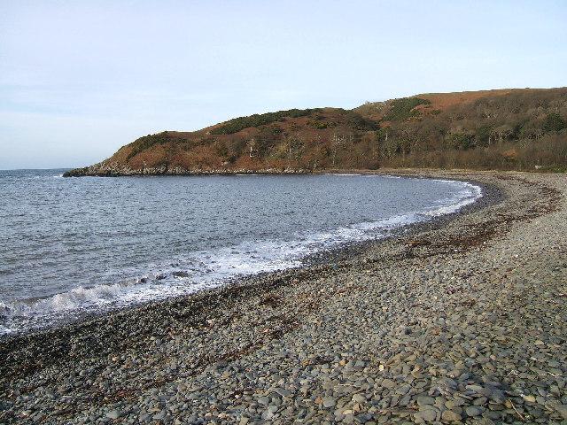
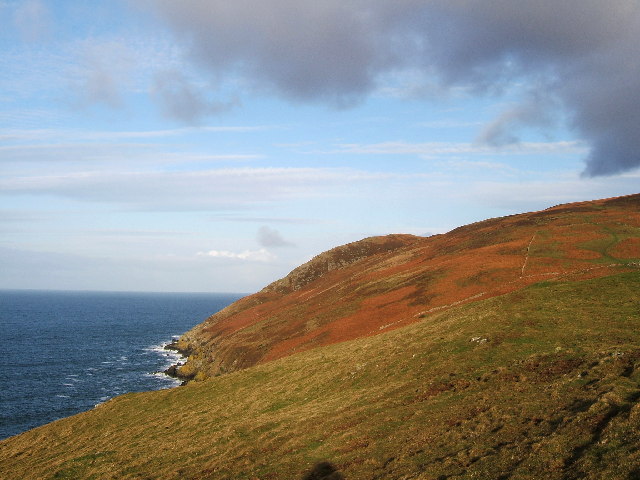
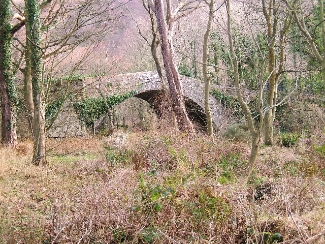
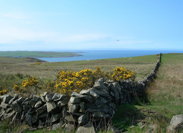
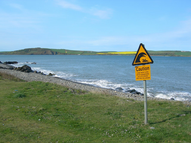
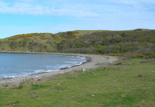
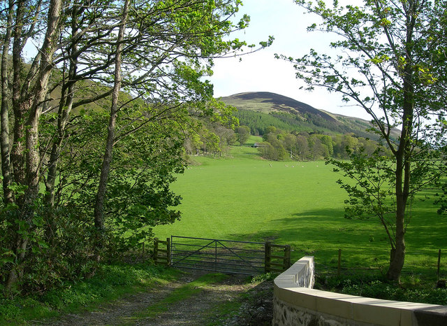
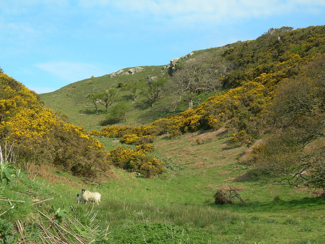
Garry Hill offers breathtaking views of the surrounding landscape, with its peak reaching an elevation of around 153 meters above sea level. The hill is covered in lush greenery, consisting of a variety of trees and vegetation, creating a serene and tranquil atmosphere. This natural setting attracts hikers, nature enthusiasts, and photographers who are captivated by its beauty.
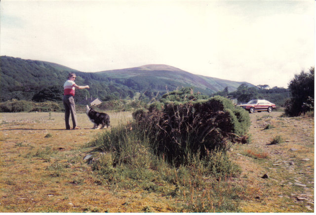
The hill is known to have a diverse range of flora and fauna, including various species of birds, mammals, and plants. It provides a habitat for numerous wildlife species, making it an important conservation area in the region.
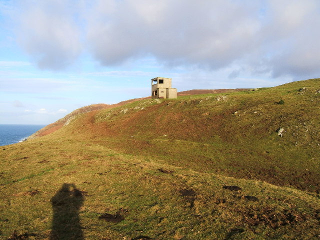
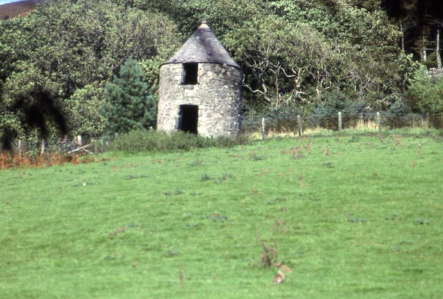
From a historical perspective, Garry Hill holds great significance. It is believed to have been inhabited since ancient times, with archaeological evidence suggesting that it was a site of human settlement dating back thousands of years. The hill has also been associated with various legends and myths, adding to its mystique.
Overall, Garry Hill in Ayrshire offers visitors an opportunity to immerse themselves in nature, explore its rich history, and enjoy stunning views of the surrounding landscape. It is a place of natural beauty and cultural importance, attracting both locals and tourists alike.
If you have any feedback on the listing, please let us know in the comments section below.
Garry Hill Images
Images are sourced within 2km of 55.01585/-5.0484933 or Grid Reference NX0573. Thanks to Geograph Open Source API. All images are credited.


Garry Hill is located at Grid Ref: NX0573 (Lat: 55.01585, Lng: -5.0484933)
Unitary Authority: South Ayrshire
Police Authority: Ayrshire
What 3 Words
///cleanest.kilowatt.firmly. Near Cairnryan, Dumfries & Galloway
Nearby Locations
Related Wikis

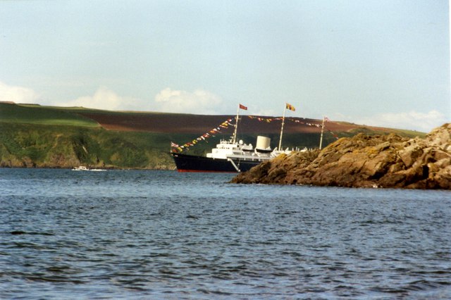
Loch Ryan
Loch Ryan (Scottish Gaelic: Loch Rìoghaine, pronounced [l̪ˠɔx ˈrˠiː.ɛɲə]) is a Scottish sea loch that acts as an important natural harbour for shipping...

Cairnryan Harbour
Cairnryan Harbour is a roll-on ferry terminal on Loch Ryan in south west Scotland north of Stranraer. In World War II it was developed as an emergency...

Kirkcolm
Kirkcolm (Scots: Kirkcoam) is a village and civil parish on the northern tip of the Rhinns of Galloway peninsula, south-west Scotland. It is in Dumfries...

Cairnryan
Cairnryan (Scots: The Cairn; Scottish Gaelic: Càrn Rìoghain or Machair an Sgithich) is a village in the historical county of Wigtownshire, Dumfries and...
RAF Wig Bay
Royal Air Force Wig Bay, or more simply RAF Wig Bay, is a former Royal Air Force station near Stranraer, Dumfries and Galloway, Scotland The following...

Corsewall Point
Corsewall Point, or Corsill Point, is a headland on the northwest coast of Wigtownshire, Kirkcolm near Stranraer, Dumfries and Galloway, Scotland. A lighthouse...
Ervie
Ervie is a small village in Dumfries and Galloway, Scotland, in the Rhins of Galloway, just outside Stranraer.

Penwhirn Reservoir
Penwhirn Reservoir, is a reservoir in Dumfries and Galloway, Scotland, approximately 3.5 miles (6 km) east of Cairnryan. The reservoir was built in the...
Nearby Amenities
Located within 500m of 55.01585,-5.0484933Have you been to Garry Hill?
Leave your review of Garry Hill below (or comments, questions and feedback).