Beinn Bheag

Hill, Mountain in Argyllshire

Scotland

Beinn Bheag

On the side of Creag na Cathaig
On the side of Creag na Cathaig Credit: David Brown

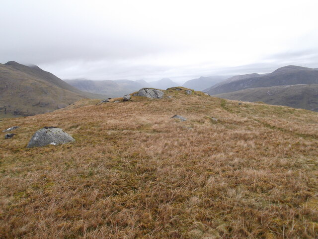
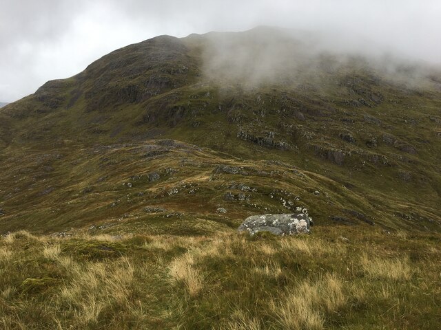
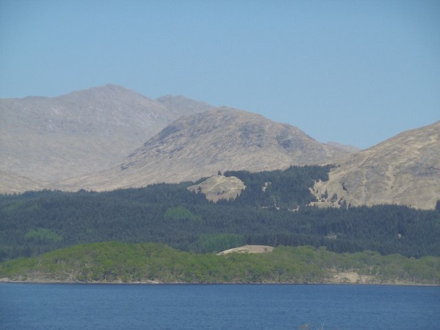
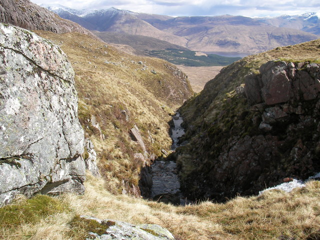
Beinn Bheag is a mountain located in Argyllshire, Scotland. It is part of the Arrochar Alps mountain range and stands at a height of 681 meters (2234 feet). The mountain is known for its rugged terrain, with steep slopes and rocky outcrops, making it a popular destination for hikers and climbers looking for a challenging ascent.

Beinn Bheag offers stunning panoramic views of the surrounding landscape, including Loch Lomond and the Trossachs National Park. On a clear day, visitors can see as far as the Isle of Arran and even the peaks of the Scottish Highlands in the distance.

The mountain is home to a variety of wildlife, including red deer, mountain hares, and golden eagles. The lower slopes of Beinn Bheag are covered in heather and grasses, while the higher elevations are characterized by rocky scree and patches of snow even in the summer months.

Overall, Beinn Bheag is a beautiful and challenging mountain that offers a rewarding experience for outdoor enthusiasts looking to explore the natural beauty of Argyllshire.

If you have any feedback on the listing, please let us know in the comments section below.

Beinn Bheag Images

Images are sourced within 2km of 56.53204/-5.1691954 or Grid Reference NN0542. Thanks to Geograph Open Source API. All images are credited.

On the side of Creag na Cathaig
Top of Creag na Cathaig
East side of Creach Bheinn
Looking from Creag na Cathaig towards Creach Bheinn
Eastern slopes of Creag na Cathaig
Beinn Mheadhonach A hill west of Loch Etive, seen from Ben Cruachan (Stob Daimh).
Beinn Mheadhonach
A hill west of Loch Etive, seen from Ben Cruachan (Stob Daimh).
Beinn Mheadhonach View across Loch Etive towards Beinn Mheadhonach and Beinn Sgulaird.
Beinn Mheadhonach
View across Loch Etive towards Beinn Mheadhonach and Beinn Sgulaird.
Deer fence and Burn near Loch Etive
Moorland and rocks on Beinn Bheag
Allt Easach The stream flows through the forest and into Loch Etive.
Allt Easach
The stream flows through the forest and into Loch Etive.
Allt Lochan an Lair and old fence posts
Moorland boulders and the Allt Lochain an Lair Looking towards Loch Etive and Ben Cruachan
Moorland boulders and the Allt Lochain an Lair
Looking towards Loch Etive and Ben Cruachan
Open Moorland near Creach Bheinn Grass, heather and scattered boulders.
Open Moorland near Creach Bheinn
Grass, heather and scattered boulders.
Rocky knoll in Coire Creach Bheinn Rocky face of the knoll in Coire Creach Bheinn.
Rocky knoll in Coire Creach Bheinn
Rocky face of the knoll in Coire Creach Bheinn.
Allt Coire Creach Bheinn The start of the steep sided section of the burn flowing out of Coire Creach Bheinn.
Allt Coire Creach Bheinn
The start of the steep sided section of the burn flowing out of Coire Creach Bheinn.
Knoll in Coire Creach Bheinn Knoll and lower part of Coire Creach Bheinn
Knoll in Coire Creach Bheinn
Knoll and lower part of Coire Creach Bheinn
Moorland above Allt Easach This photo was taken a little NE from the end of the track leading from Loch Creran (Druimavuic) in the moorland above the upper reaches of Allt Easach.
Moorland above Allt Easach
This photo was taken a little NE from the end of the track leading from Loch Creran (Druimavuic) in the moorland above the upper reaches of Allt Easach.
Moorland above Allt Easach Moorland above Allt Easach and north of Beinn Bhreag
Moorland above Allt Easach
Moorland above Allt Easach and north of Beinn Bhreag
Show me another place!

Beinn Bheag is located at Grid Ref: NN0542 (Lat: 56.53204, Lng: -5.1691954)

Unitary Authority: Argyll and Bute

Police Authority: Argyll and West Dunbartonshire

What 3 Words

///port.fools.gamer. Near Glencoe, Highland

Nearby Locations

Beinn Bheag

Related Wikis

Creach Bheinn (Loch Creran)

Creach Bheinn (810 m) is a mountain in the Grampian Mountains of Scotland. It rises above the head Loch Creran in Argyll. A large and sprawling peak, a...

Beinn Trilleachan

Beinn Trilleachean (840 m) is a mountain in the Grampian Mountains, north of the village of Taynuilt at the head of Loch Etive. It lies on the border of...

Beinn Sgulaird

Beinn Sgulaird or Beinn Sguiliaird is a mountain in the Lorn region of the Scottish Highlands, between Glen Creran and Glen Etive. It has a height of 937...

Loch Etive

Loch Etive (Scottish Gaelic, Loch Eite) is a 30 km sea loch in Argyll and Bute, Scotland. It reaches the sea at Connel, 5 km north of Oban. It measures...

Nearby Amenities

Located within 500m of 56.53204,-5.1691954
Beinn Bheag
Ele: 470
Natural: peak
Lat/Long: 56.5320424/-5.170009
The data included in this document is from www.openstreetmap.org. The data is made available under ODbL.

Have you been to Beinn Bheag?

Leave your review of Beinn Bheag below (or comments, questions and feedback).