Barmore Hill
Hill, Mountain in Wigtownshire
Scotland
Barmore Hill
Barmore Hill is a prominent hill located in Wigtownshire, Scotland. It is situated near the village of Wigtown and stands at an elevation of approximately 220 meters (720 feet) above sea level. The hill is part of the wider Galloway Hills range in the southern uplands of Scotland.
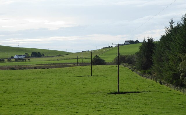
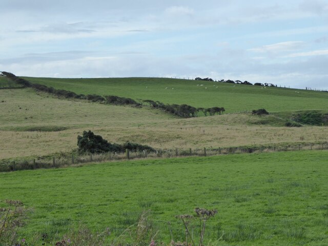
Barmore Hill offers stunning panoramic views of the surrounding countryside, including the Galloway Forest Park, the Solway Firth, and the rolling hills of Wigtownshire. Its vantage point makes it a popular destination for hikers, walkers, and nature enthusiasts, who can enjoy the breathtaking scenery and the opportunity to spot various wildlife species.
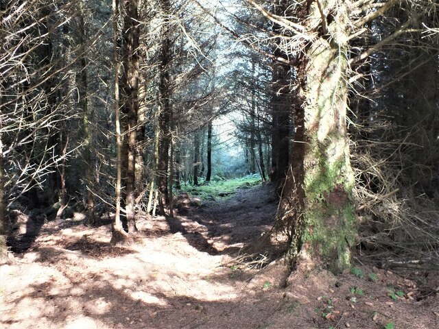
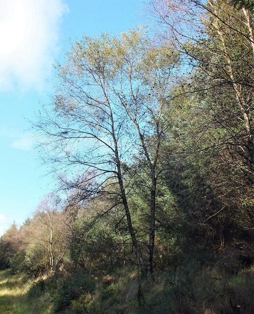
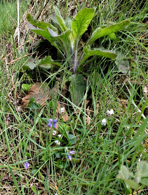
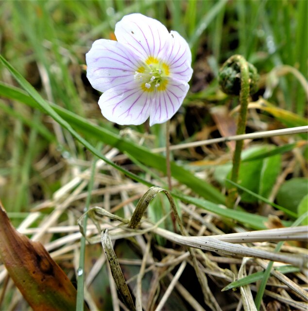
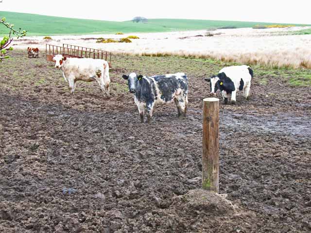
The hill is covered in a mix of heather, grasses, and shrubs, creating a diverse and vibrant habitat for a range of flora and fauna. It provides a home for several bird species, including red grouse, skylarks, and meadow pipits. Mammals such as hares and roe deer can also be spotted in the area.
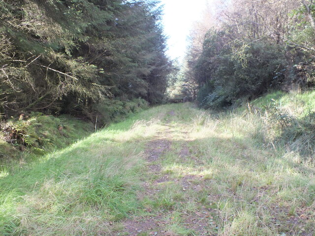
Access to Barmore Hill is relatively easy, with a well-maintained footpath leading to the summit. The hill is a popular destination for those seeking an active day out, offering a moderate challenge for climbers and hillwalkers. On clear days, it is not uncommon to see paragliders soaring through the skies above Barmore Hill, taking advantage of the favorable wind conditions.
Overall, Barmore Hill is a picturesque and accessible hill in Wigtownshire, offering visitors a chance to immerse themselves in the natural beauty of the Scottish countryside and enjoy stunning views of the surrounding landscape.
If you have any feedback on the listing, please let us know in the comments section below.
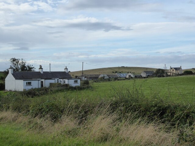
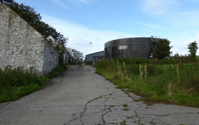
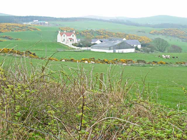
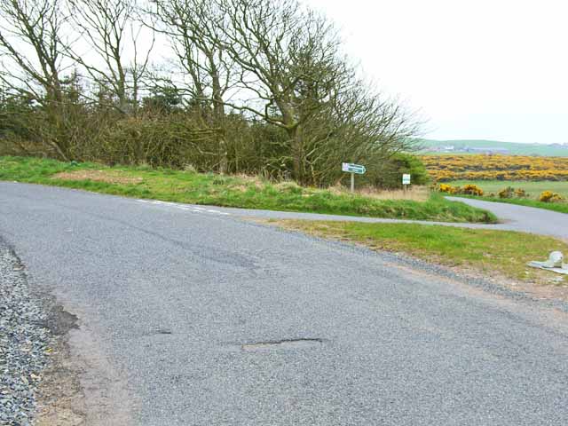
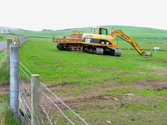
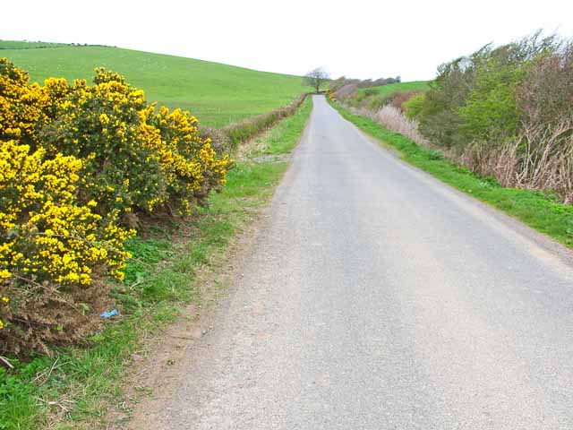
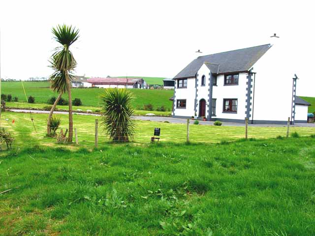
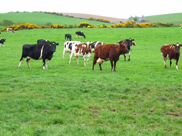
Barmore Hill Images
Images are sourced within 2km of 54.832907/-5.034975 or Grid Reference NX0552. Thanks to Geograph Open Source API. All images are credited.

Barmore Hill is located at Grid Ref: NX0552 (Lat: 54.832907, Lng: -5.034975)
Unitary Authority: Dumfries and Galloway
Police Authority: Dumfries and Galloway
What 3 Words
///connected.messed.mess. Near Stranraer, Dumfries & Galloway
Nearby Locations
Related Wikis

Colfin railway station
Colfin railway station, located in Wigtownshire, Scotland, between Portpatrick and Stranraer, was a station on the Portpatrick and Wigtownshire Joint Railway...

Rhins of Galloway
The Rhins of Galloway, otherwise known as the Rhins of Wigtownshire (or as The Rhins, also spelled The Rhinns; Scottish Gaelic: Na Rannaibh), is a hammer...

Garthland Castle
Garthland Castle was a castle that was located near Garthland Mains, Dumfries and Galloway, Scotland.The castle was possibly built in 1211, as a datestone...
Knockinaam Lodge
Knockinaam Lodge is a hotel and restaurant located about 3.5 miles South of Portpatrick, Dumfries & Galloway, Scotland. As of 2008, the restaurant holds...
Stoneykirk
Stoneykirk (Scottish Gaelic: Eaglais Steafain) is an area and a village in the heart of the Rhins of Galloway, Wigtownshire, in the administrative council...
Lochans, Dumfries and Galloway
Lochans is a small village around 2.5 miles (4.0 km) south of Stranraer, in Dumfries and Galloway in south-west Scotland. In 1971 it had a population of...

Dunskey Castle
Dunskey Castle is a ruined, 12th-century tower house or castle, located 0.5 miles (0.80 km) south of the village of Portpatrick, Rhinns, Wigtownshire,...

Portpatrick railway station
Portpatrick railway station was a railway station serving the village of Portpatrick, Dumfries & Galloway, Scotland. Opened in 1862 the station served...
Nearby Amenities
Located within 500m of 54.832907,-5.034975Have you been to Barmore Hill?
Leave your review of Barmore Hill below (or comments, questions and feedback).