Garry Wood
Wood, Forest in Ayrshire
Scotland
Garry Wood
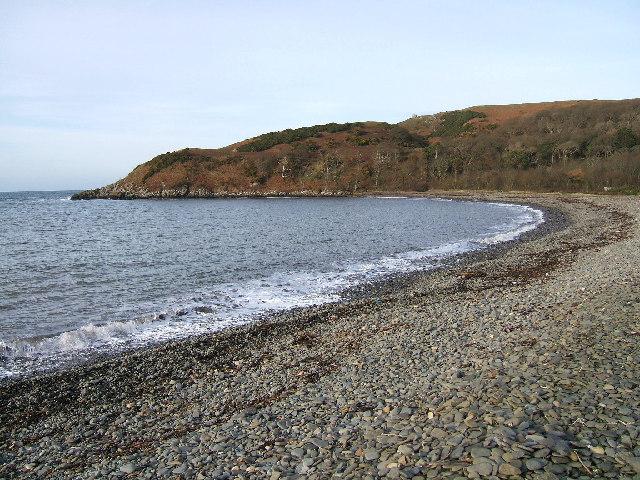
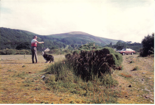
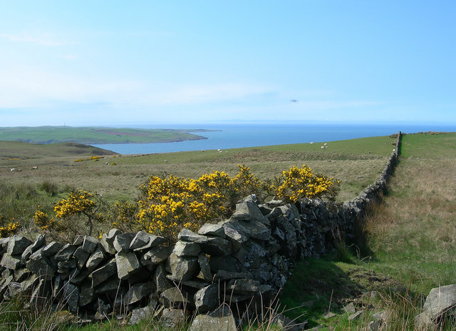
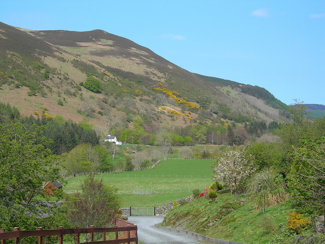
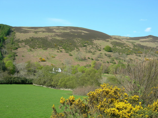
Garry Wood is a charming forest located in the Ayrshire region of Scotland. With its lush greenery and diverse wildlife, it is a popular destination for nature enthusiasts and outdoor lovers. Covering an area of approximately 100 hectares, the wood offers a tranquil escape from the hustle and bustle of city life.
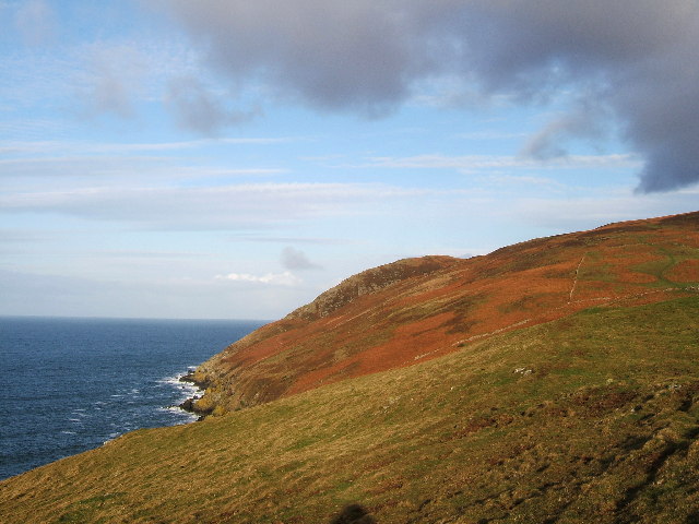
The forest is predominantly composed of native Scottish trees, including oak, birch, and pine, which create a picturesque landscape all year round. In spring, the woodland floor comes alive with a carpet of bluebells and wildflowers, while in autumn, the vibrant hues of red, orange, and gold paint the trees, providing a breathtaking sight.
Garry Wood is home to an array of wildlife, making it a haven for birdwatchers and animal enthusiasts. Visitors can spot various bird species, such as woodpeckers, finches, and owls, as well as small mammals like red squirrels and rabbits. The forest also houses several deer, which can sometimes be seen grazing peacefully in the early morning or evening.
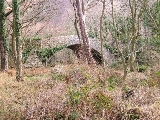
The wood offers a network of well-maintained trails, allowing visitors to explore its beauty at their own pace. Hikers can enjoy leisurely walks, while more adventurous individuals can embark on longer treks, immersing themselves in the peaceful surroundings and enjoying the fresh air.
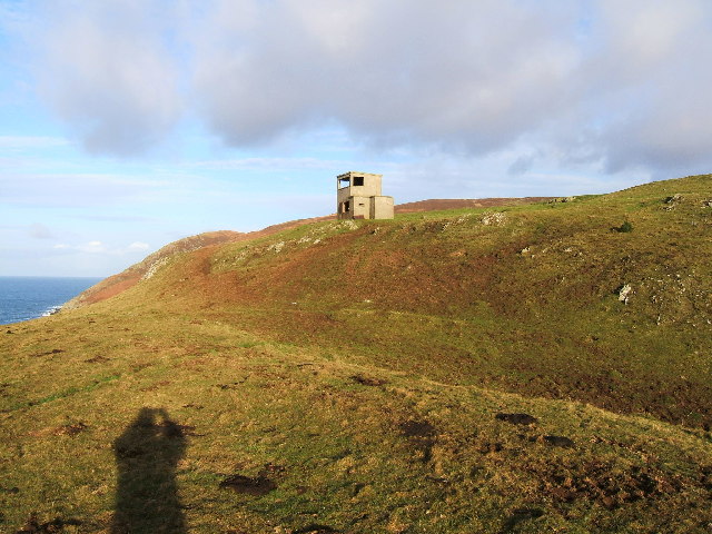
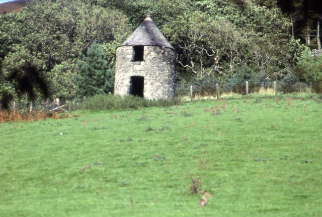
Garry Wood is not only a place of natural beauty but also holds historical significance. It is believed that the wood has been in existence for several centuries, and remnants of ancient settlements, including stone circles and burial mounds, have been discovered within its boundaries.
Overall, Garry Wood in Ayrshire is a captivating destination that combines natural splendor, abundant wildlife, and a touch of history. Whether it's for a leisurely stroll, birdwatching, or simply to connect with nature, this forest offers an enriching experience for all who visit.
If you have any feedback on the listing, please let us know in the comments section below.
Garry Wood Images
Images are sourced within 2km of 55.014303/-5.0478126 or Grid Reference NX0573. Thanks to Geograph Open Source API. All images are credited.


Garry Wood is located at Grid Ref: NX0573 (Lat: 55.014303, Lng: -5.0478126)
Unitary Authority: South Ayrshire
Police Authority: Ayrshire
What 3 Words
///dots.obstruct.central. Near Cairnryan, Dumfries & Galloway
Nearby Locations
Related Wikis

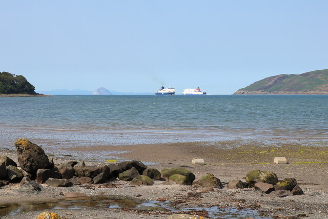
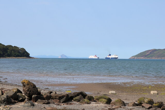
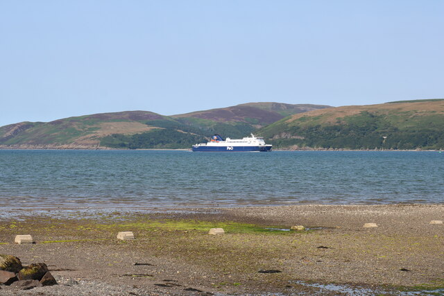
Loch Ryan
Loch Ryan (Scottish Gaelic: Loch Rìoghaine, pronounced [l̪ˠɔx ˈrˠiː.ɛɲə]) is a Scottish sea loch that acts as an important natural harbour for shipping...

Cairnryan Harbour
Cairnryan Harbour is a roll-on ferry terminal on Loch Ryan in south west Scotland north of Stranraer. In World War II it was developed as an emergency...

Kirkcolm
Kirkcolm (Scots: Kirkcoam) is a village and civil parish on the northern tip of the Rhinns of Galloway peninsula, south-west Scotland. It is in Dumfries...

Cairnryan
Cairnryan (Scots: The Cairn; Scottish Gaelic: Càrn Rìoghain or Machair an Sgithich) is a village in the historical county of Wigtownshire, Dumfries and...
RAF Wig Bay
Royal Air Force Wig Bay, or more simply RAF Wig Bay, is a former Royal Air Force station near Stranraer, Dumfries and Galloway, Scotland The following...

Corsewall Point
Corsewall Point, or Corsill Point, is a headland on the northwest coast of Wigtownshire, Kirkcolm near Stranraer, Dumfries and Galloway, Scotland. A lighthouse...
Ervie
Ervie is a small village in Dumfries and Galloway, Scotland, in the Rhins of Galloway, just outside Stranraer.

Penwhirn Reservoir
Penwhirn Reservoir, is a reservoir in Dumfries and Galloway, Scotland, approximately 3.5 miles (6 km) east of Cairnryan. The reservoir was built in the...
Nearby Amenities
Located within 500m of 55.014303,-5.0478126Have you been to Garry Wood?
Leave your review of Garry Wood below (or comments, questions and feedback).