Gortan Cherin
Wood, Forest in Argyllshire
Scotland
Gortan Cherin
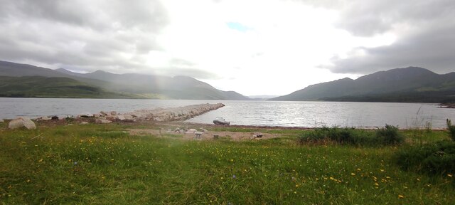
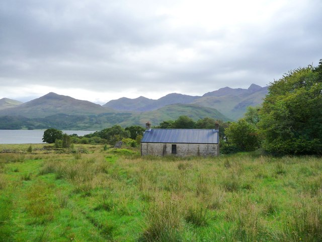
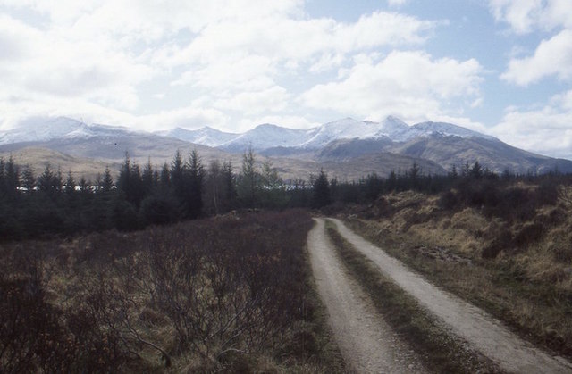
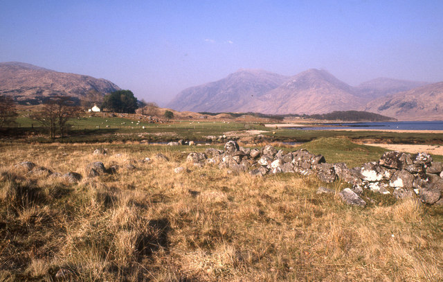
Gortan Cherin is a small woodland located in Argyllshire, Scotland. Situated amidst the picturesque landscape of the Scottish Highlands, this forest is a haven for nature enthusiasts and those seeking tranquility in the midst of breathtaking surroundings.
Covering an area of approximately 200 acres, Gortan Cherin boasts a diverse range of flora and fauna. The woodland is predominantly composed of native Scottish trees, including oak, birch, and pine, creating a rich and vibrant ecosystem. The forest floor is adorned with a carpet of moss, ferns, and wildflowers, adding to its natural charm.
The forest is crisscrossed by a network of walking trails, allowing visitors to explore the beauty of Gortan Cherin at their own pace. These well-maintained paths wind through the dense forest, leading to scenic viewpoints and hidden gems, such as a tranquil river or a picturesque waterfall. Birdwatchers will also find Gortan Cherin a haven, as the woodland is home to a variety of bird species, including woodpeckers, owls, and various songbirds.
Gortan Cherin is not only a sanctuary for wildlife but also a place of cultural significance. The woodland has a rich history, with remnants of ancient settlements and archaeological sites scattered throughout. Visitors can immerse themselves in the past, exploring these historical features and imagining the lives of those who once called this forest home.
With its stunning natural beauty, diverse wildlife, and historical significance, Gortan Cherin is a must-visit destination for nature lovers and history enthusiasts alike.
If you have any feedback on the listing, please let us know in the comments section below.
Gortan Cherin Images
Images are sourced within 2km of 56.501171/-5.1649435 or Grid Reference NN0538. Thanks to Geograph Open Source API. All images are credited.


Gortan Cherin is located at Grid Ref: NN0538 (Lat: 56.501171, Lng: -5.1649435)
Unitary Authority: Argyll and Bute
Police Authority: Argyll and West Dunbartonshire
What 3 Words
///shapeless.driveway.vessel. Near Glencoe, Highland
Nearby Locations
Related Wikis

Loch Etive
Loch Etive (Scottish Gaelic, Loch Eite) is a 30 km sea loch in Argyll and Bute, Scotland. It reaches the sea at Connel, 5 km north of Oban. It measures...

Creach Bheinn (Loch Creran)
Creach Bheinn (810 m) is a mountain in the Grampian Mountains of Scotland. It rises above the head Loch Creran in Argyll. A large and sprawling peak, a...

Beinn Trilleachan
Beinn Trilleachean (840 m) is a mountain in the Grampian Mountains, north of the village of Taynuilt at the head of Loch Etive. It lies on the border of...

Bonawe
Bonawe (Scots pronunciation: [boˈnɔː]; Scottish Gaelic: Bun Abha [puˈna.ə]) is a village in Ardchattan Parish Argyll and Bute, Scotland opposite Taynuilt...

River Awe
The River Awe (Scottish Gaelic: Uisge Abha) is a short river in the Southwest Highlands of Scotland by which the freshwater Loch Awe empties into Loch...

Beinn Sgulaird
Beinn Sgulaird or Beinn Sguiliaird is a mountain in the Lorn region of the Scottish Highlands, between Glen Creran and Glen Etive. It has a height of 937...

Gleann Dubh
The reservoir (the "Black Glen") is an impounding reservoir located 9 kilometres north east of the Connel Bridge in Barcaldine Forest. The earthen dam...
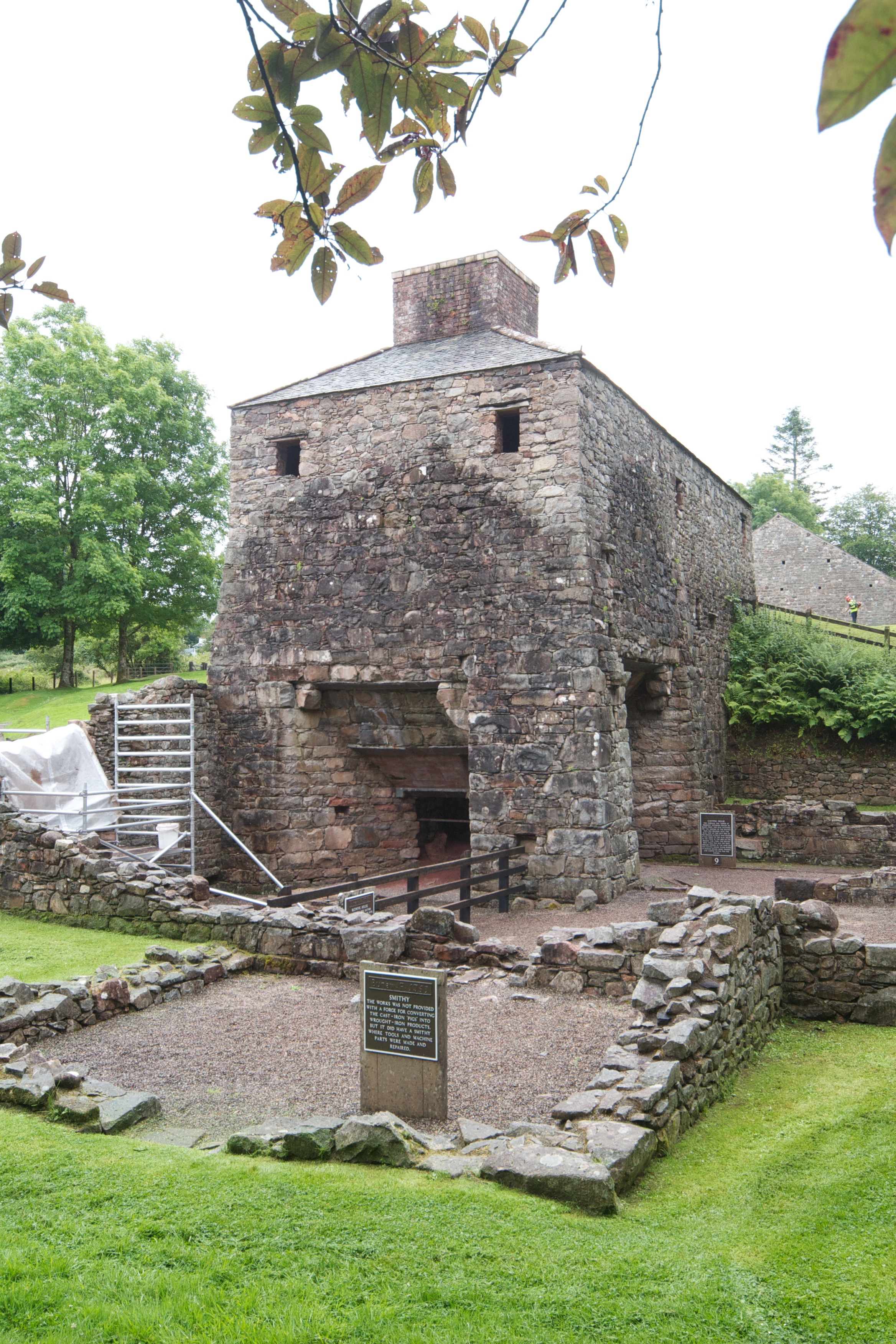
Bonawe Iron Furnace
The Bonawe Iron Furnace (also called the Lorn Furnace), was an industrial complex located in Bonawe, Lorn District, Scotland. It operated in the middle...
Have you been to Gortan Cherin?
Leave your review of Gortan Cherin below (or comments, questions and feedback).