Cairn Connell Hill

Hill, Mountain in Wigtownshire

Scotland

Cairn Connell Hill

Kirkcolm Church Kirkcolm Church taken from the other side of Church Hill (the road in front of the church). In the grounds is the Kilmorie Cross which was carved in the 10th century.
Kirkcolm Church Credit: Bill Allen

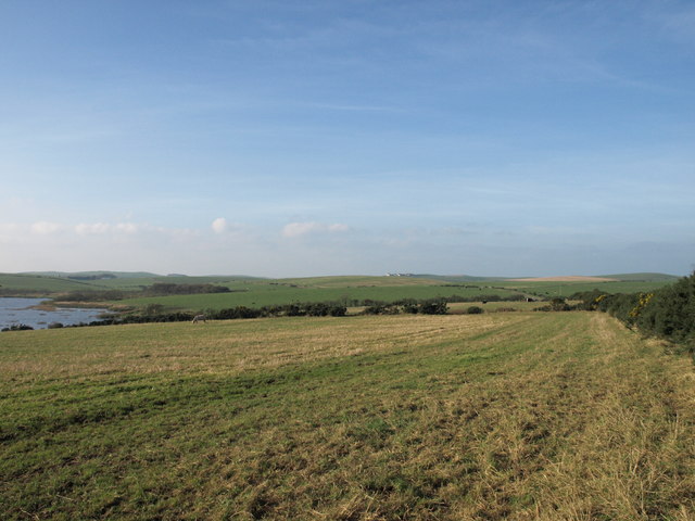
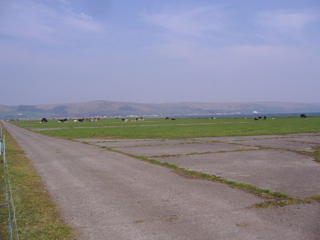
Cairn Connell Hill is a prominent hill located in the region of Wigtownshire, southwest Scotland. Standing at an elevation of approximately 316 meters (1,036 feet), it offers stunning panoramic views of the surrounding countryside and is a popular spot for hikers and nature enthusiasts.

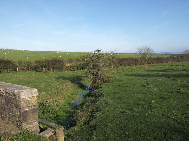
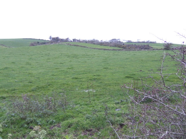
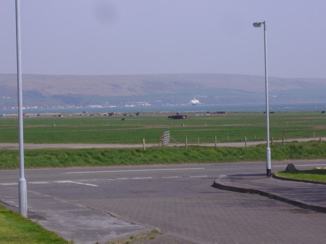
The hill is situated within the Galloway Forest Park, which is known for its diverse wildlife and rugged landscapes. The area is characterized by rolling hills, dense forests, and picturesque lochs, creating a breathtaking backdrop for visitors.

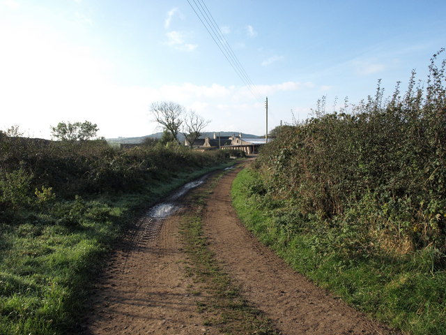
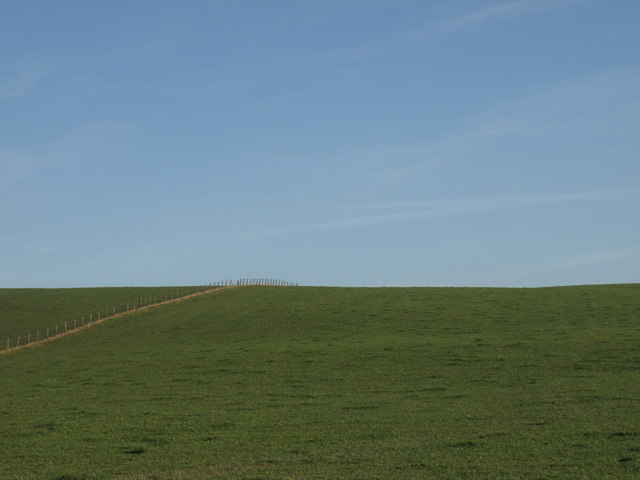
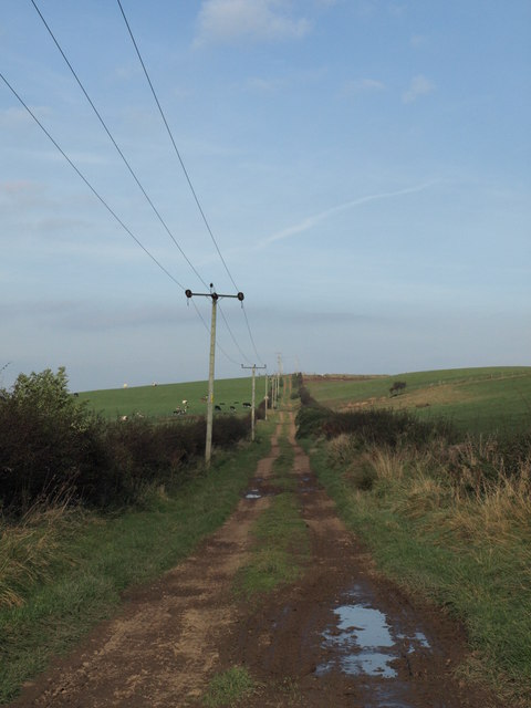
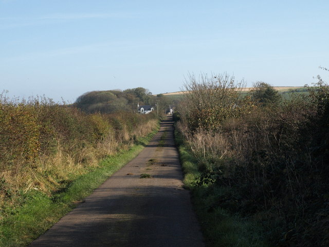
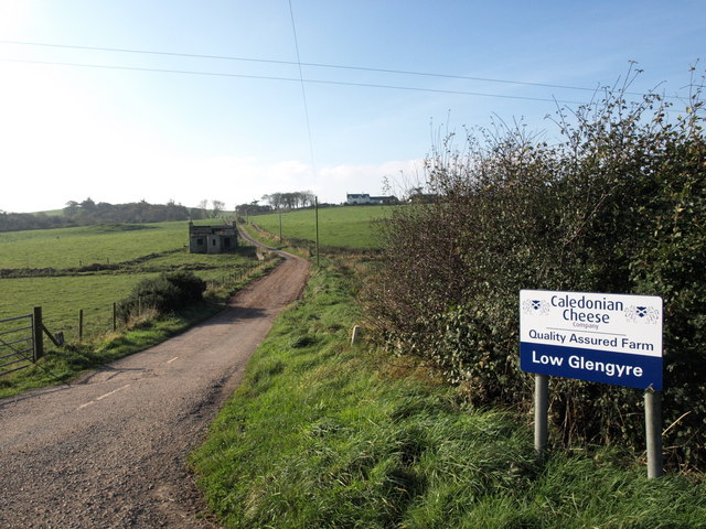
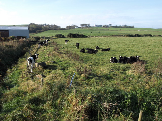
Cairn Connell Hill is easily accessible, with well-marked trails leading to its summit. The path is suitable for walkers of all abilities, although some sections may require a moderate level of fitness. Along the way, hikers can admire the diverse flora and fauna that call this area home, including red deer, golden eagles, and various species of wildflowers.

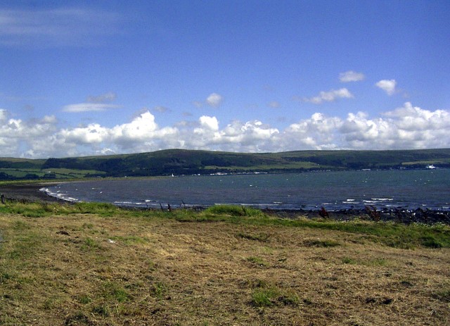
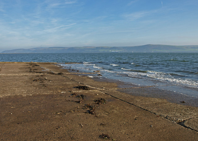
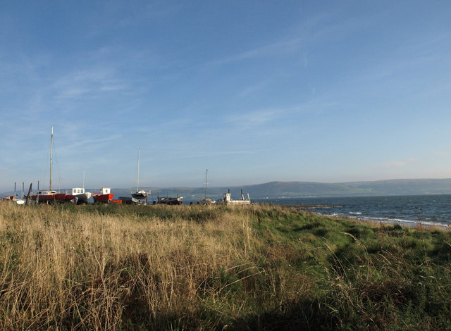
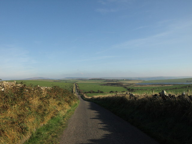
Once at the top, visitors are rewarded with breathtaking views of the surrounding countryside, including the nearby Loch Ryan and the distant Irish Sea. On clear days, it is even possible to see the nearby Galloway Hills and the Isle of Man.

Cairn Connell Hill is a place where nature and tranquility combine, offering visitors a chance to escape the hustle and bustle of everyday life and immerse themselves in the beauty of the Scottish countryside. Whether it’s for a leisurely stroll or a more challenging hike, this hill is a must-visit destination for outdoor enthusiasts.

If you have any feedback on the listing, please let us know in the comments section below.

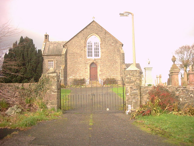
Cairn Connell Hill Images

Images are sourced within 2km of 54.962932/-5.0922639 or Grid Reference NX0267. Thanks to Geograph Open Source API. All images are credited.

Kirkcolm Church Kirkcolm Church taken from the other side of Church Hill (the road in front of the church). In the grounds is the Kilmorie Cross which was carved in the 10th century.
Kirkcolm Church
Kirkcolm Church taken from the other side of Church Hill (the road in front of the church). In the grounds is the Kilmorie Cross which was carved in the 10th century.
Kircolm Rush Hour Even the bus stop is so laid back it's screwed to the front of the house....
Kircolm Rush Hour
Even the bus stop is so laid back it's screwed to the front of the house....
Slipway, The Rhins Looking over to Cairnryan.
Slipway, The Rhins
Looking over to Cairnryan.
Slipway, The Rhins
Slipway, The Rhins
Balwherrie Farm, The Rhins
Fence and Field, The Rhins Balwherrie farmland.
Fence and Field, The Rhins
Balwherrie farmland.
Straight track, the Rhins
Marslauch, The Rhins
Ervie Bridge, The Rhins
Farm Road, The Rhins
Loch Connell road, The Rhins
Loch Connell, The Rhins
Little Glengyre, The Rhins Little Glengyre is the farm on the brow of the hill.
Little Glengyre, The Rhins
Little Glengyre is the farm on the brow of the hill.
View towards Little Glengyre The woodland and house lie behind the rise of land in the centre of the image. Land use hereabouts is pasture for grazing.
View towards Little Glengyre
The woodland and house lie behind the rise of land in the centre of the image. Land use hereabouts is pasture for grazing.
Village of Kirkcolm taken from the disused airfield This view of Kirkcolm shows the outskirts of the village. The view is looking north.
Village of Kirkcolm taken from the disused airfield
This view of Kirkcolm shows the outskirts of the village. The view is looking north.
Disused Airfield This airfield is just outside the village of Kirkcolm. It is on the shores of Loch Ryan which can be seen in the photograph.  The airfield was used during World War II. It was the base for flying boats and was a VERY busy place. Now cattle graze on the land and the runways are slowly being covered with grass.
Disused Airfield
This airfield is just outside the village of Kirkcolm. It is on the shores of Loch Ryan which can be seen in the photograph. The airfield was used during World War II. It was the base for flying boats and was a VERY busy place. Now cattle graze on the land and the runways are slowly being covered with grass.
Road Junction - A718 and Kirkland Court This is the junction of a Kirkland Court with the A718, just outside the village of Kirkcolm.  Opposite the junction is a disused airfield, then Loch Ryan and, in the far distance, the village of Cairnryan.
Road Junction - A718 and Kirkland Court
This is the junction of a Kirkland Court with the A718, just outside the village of Kirkcolm. Opposite the junction is a disused airfield, then Loch Ryan and, in the far distance, the village of Cairnryan.
Show me another place!

Cairn Connell Hill is located at Grid Ref: NX0267 (Lat: 54.962932, Lng: -5.0922639)

Unitary Authority: Dumfries and Galloway

Police Authority: Dumfries and Galloway

What 3 Words

///watched.salary.wrenching. Near Cairnryan, Dumfries & Galloway

Related Wikis

Kirkcolm

Kirkcolm (Scots: Kirkcoam) is a village and civil parish on the northern tip of the Rhinns of Galloway peninsula, south-west Scotland. It is in Dumfries...

RAF Wig Bay

Royal Air Force Wig Bay, or more simply RAF Wig Bay, is a former Royal Air Force station near Stranraer, Dumfries and Galloway, Scotland The following...

Ervie

Ervie is a small village in Dumfries and Galloway, Scotland, in the Rhins of Galloway, just outside Stranraer.

Leswalt

Leswalt (Scottish Gaelic: Lios Uillt) is a village and civil parish in Dumfries and Galloway, south-west Scotland. It lies between Portpatrick and Stranraer...

Loch Ryan

Loch Ryan (Scottish Gaelic: Loch Rìoghaine, pronounced [l̪ˠɔx ˈrˠiː.ɛɲə]) is a Scottish sea loch that acts as an important natural harbour for shipping...

Cairnryan Harbour

Cairnryan Harbour is a roll-on ferry terminal on Loch Ryan in south west Scotland north of Stranraer. In World War II it was developed as an emergency...

Cairnryan

Cairnryan (Scots: The Cairn; Scottish Gaelic: Càrn Rìoghain or Machair an Sgithich) is a village in the historical county of Wigtownshire, Dumfries and...

Galdenoch Castle

Galdenoch Castle is a tower house near the Scottish village of Leswalt in the Council Area Dumfries and Galloway . The ruin is listed as a Scheduled Monument...

Nearby Amenities

Located within 500m of 54.962932,-5.0922639
Generator Method: wind_turbine
Generator Source: wind
Power: generator
Lat/Long: 54.9637375/-5.0869972
Generator Method: wind_turbine
Generator Source: wind
Power: generator
Lat/Long: 54.9632986/-5.0868443
Generator Method: wind_turbine
Generator Source: wind
Power: generator
Lat/Long: 54.9628551/-5.0866726
The data included in this document is from www.openstreetmap.org. The data is made available under ODbL.

Have you been to Cairn Connell Hill?

Leave your review of Cairn Connell Hill below (or comments, questions and feedback).