Clendrie Hill

Hill, Mountain in Wigtownshire

Scotland

Clendrie Hill

Kirkcolm Point and The Scar near Kirkcolm, Stranraer The Scar is a long, narrow sandbar which extends into Loch Ryan from Kirkcolm Point. It is a breeding ground for Arctic Terns and the high speed ferries which use the loch have to slow down  so as not to disturb the breeding birds. It is also a popular destination for sea anglers and bird watchers.
Kirkcolm Point and The Scar near Kirkcolm, Stranraer Credit: Colin McDonald

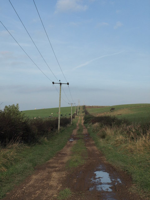
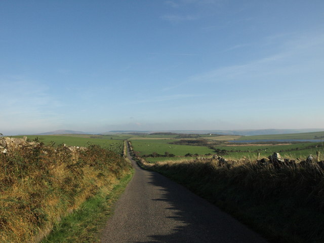
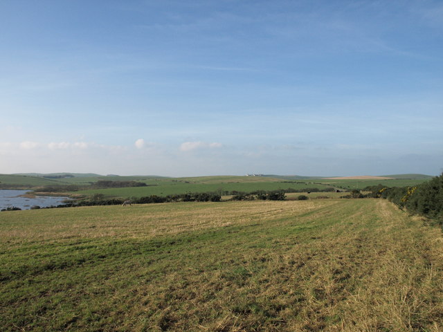
Clendrie Hill is a prominent hill located in the region of Wigtownshire, South West Scotland. It stands at an elevation of approximately 259 meters (850 feet) above sea level. The hill is situated near the small village of Kirkcowan, and it offers stunning panoramic views of the surrounding countryside.

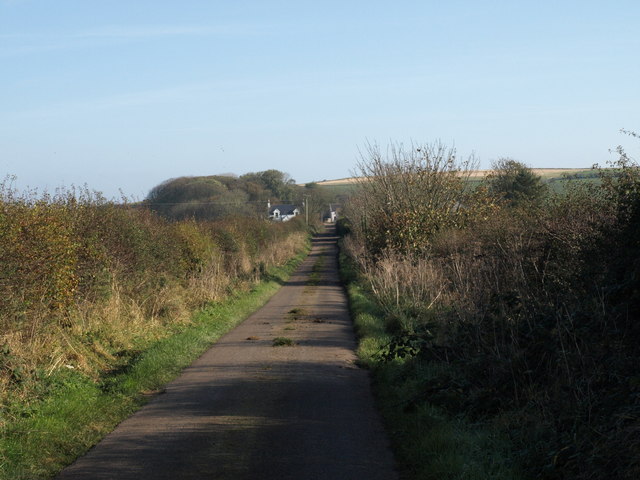
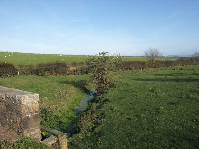
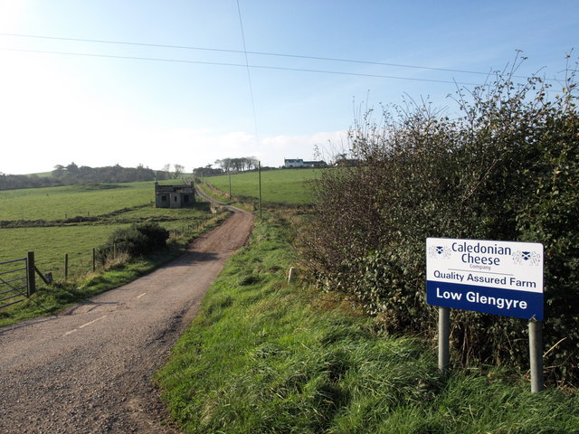
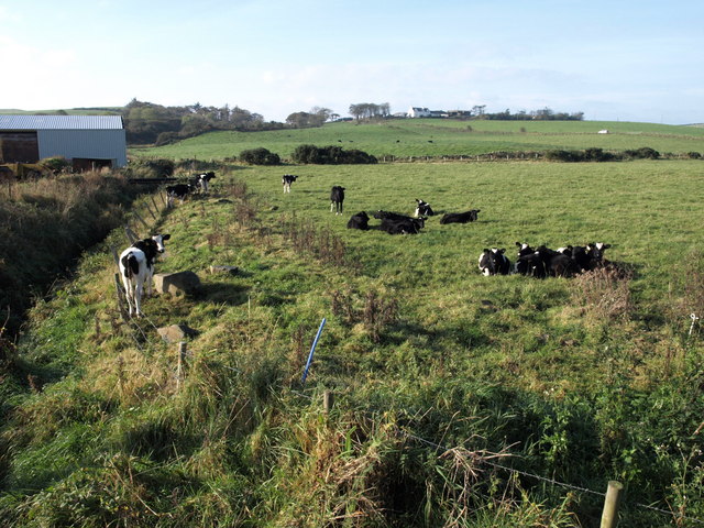
Clendrie Hill is characterized by its gentle slopes, which make it accessible to both hikers and nature enthusiasts. The hill is covered in lush green vegetation, including grasses, heather, and scattered patches of woodland. It is home to a variety of wildlife, such as birds, rabbits, and deer, making it an ideal spot for birdwatching and wildlife observation.

One of the notable features of Clendrie Hill is its historical significance. The hill is believed to have been inhabited since prehistoric times, as evidenced by the presence of ancient burial mounds and other archaeological remains. It is also known for its association with local folklore and legends.

For outdoor enthusiasts, Clendrie Hill offers several walking trails and paths that cater to different fitness levels. These trails provide an opportunity to explore the hill's natural beauty while enjoying the fresh air and peaceful environment. Additionally, the hill is a popular destination for paragliding and other outdoor activities, attracting adventure seekers from near and far.

Overall, Clendrie Hill is a picturesque and historically significant landmark in Wigtownshire, offering visitors a chance to immerse themselves in nature, explore its rich past, and enjoy breathtaking views of the surrounding area.

If you have any feedback on the listing, please let us know in the comments section below.

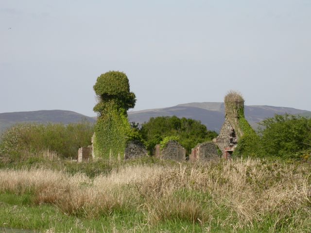
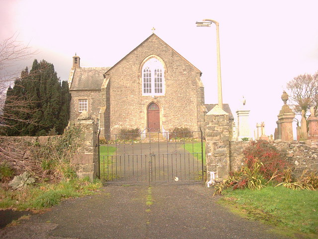
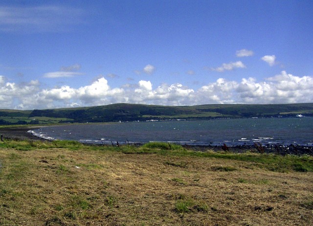
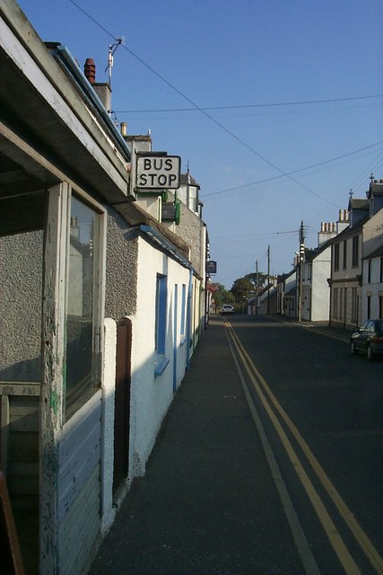
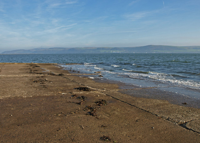
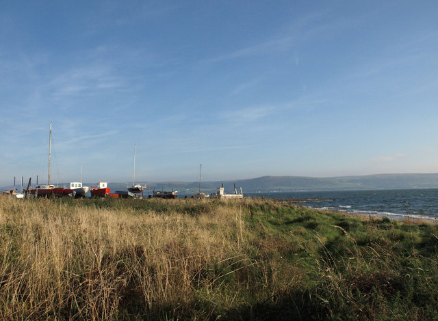
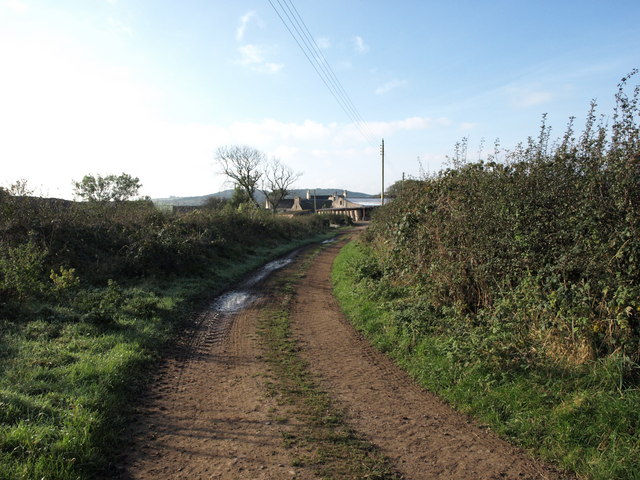
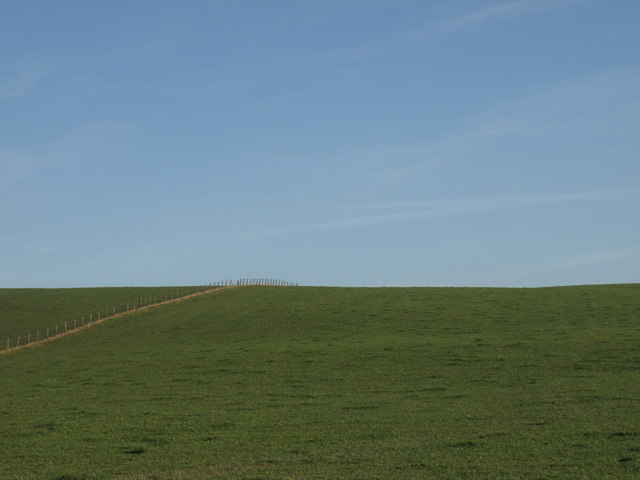
Clendrie Hill Images

Images are sourced within 2km of 54.961558/-5.0858145 or Grid Reference NX0267. Thanks to Geograph Open Source API. All images are credited.

Kirkcolm Point and The Scar near Kirkcolm, Stranraer The Scar is a long, narrow sandbar which extends into Loch Ryan from Kirkcolm Point. It is a breeding ground for Arctic Terns and the high speed ferries which use the loch have to slow down  so as not to disturb the breeding birds. It is also a popular destination for sea anglers and bird watchers.
Kirkcolm Point and The Scar near Kirkcolm, Stranraer
The Scar is a long, narrow sandbar which extends into Loch Ryan from Kirkcolm Point. It is a breeding ground for Arctic Terns and the high speed ferries which use the loch have to slow down so as not to disturb the breeding birds. It is also a popular destination for sea anglers and bird watchers.
Ruined house beside Loch Ryan
Kirkcolm Church Kirkcolm Church taken from the other side of Church Hill (the road in front of the church). In the grounds is the Kilmorie Cross which was carved in the 10th century.
Kirkcolm Church
Kirkcolm Church taken from the other side of Church Hill (the road in front of the church). In the grounds is the Kilmorie Cross which was carved in the 10th century.
Kircolm Rush Hour Even the bus stop is so laid back it's screwed to the front of the house....
Kircolm Rush Hour
Even the bus stop is so laid back it's screwed to the front of the house....
Slipway, The Rhins Looking over to Cairnryan.
Slipway, The Rhins
Looking over to Cairnryan.
Slipway, The Rhins
Slipway, The Rhins
Balwherrie Farm, The Rhins
Fence and Field, The Rhins Balwherrie farmland.
Fence and Field, The Rhins
Balwherrie farmland.
Straight track, the Rhins
Marslauch, The Rhins
Ervie Bridge, The Rhins
Farm Road, The Rhins
Loch Connell road, The Rhins
Loch Connell, The Rhins
Little Glengyre, The Rhins Little Glengyre is the farm on the brow of the hill.
Little Glengyre, The Rhins
Little Glengyre is the farm on the brow of the hill.
Observation Post Disused lookout on the shore of Loch Ryan, where seaplanes landed during World War II.
Observation Post
Disused lookout on the shore of Loch Ryan, where seaplanes landed during World War II.
Ruined house on the shores of Loch Ryan This is a ruined house which stands at the end of a track leading from Kirkcolm to the shores of Loch Ryan.
Ruined house on the shores of Loch Ryan
This is a ruined house which stands at the end of a track leading from Kirkcolm to the shores of Loch Ryan.
Show me another place!

Clendrie Hill is located at Grid Ref: NX0267 (Lat: 54.961558, Lng: -5.0858145)

Unitary Authority: Dumfries and Galloway

Police Authority: Dumfries and Galloway

What 3 Words

///double.limitless.divided. Near Cairnryan, Dumfries & Galloway

Related Wikis

RAF Wig Bay

Royal Air Force Wig Bay, or more simply RAF Wig Bay, is a former Royal Air Force station near Stranraer, Dumfries and Galloway, Scotland The following...

Kirkcolm

Kirkcolm (Scots: Kirkcoam) is a village and civil parish on the northern tip of the Rhinns of Galloway peninsula, south-west Scotland. It is in Dumfries...

Ervie

Ervie is a small village in Dumfries and Galloway, Scotland, in the Rhins of Galloway, just outside Stranraer.

Leswalt

Leswalt (Scottish Gaelic: Lios Uillt) is a village and civil parish in Dumfries and Galloway, south-west Scotland. It lies between Portpatrick and Stranraer...

Loch Ryan

Loch Ryan (Scottish Gaelic: Loch Rìoghaine, pronounced [l̪ˠɔx ˈrˠiː.ɛɲə]) is a Scottish sea loch that acts as an important natural harbour for shipping...

Cairnryan Harbour

Cairnryan Harbour is a roll-on ferry terminal on Loch Ryan in south west Scotland north of Stranraer. In World War II it was developed as an emergency...

Cairnryan

Cairnryan (Scots: The Cairn; Scottish Gaelic: Càrn Rìoghain or Machair an Sgithich) is a village in the historical county of Wigtownshire, Dumfries and...

Galdenoch Castle

Galdenoch Castle is a tower house near the Scottish village of Leswalt in the Council Area Dumfries and Galloway . The ruin is listed as a Scheduled Monument...

Nearby Amenities

Located within 500m of 54.961558,-5.0858145
Place: farm
Lat/Long: 54.9625225/-5.083048
Power: pole
Lat/Long: 54.9600232/-5.0795057
Power: pole
Lat/Long: 54.9607193/-5.0799644
Power: pole
Lat/Long: 54.9614199/-5.0804204
Power: pole
Lat/Long: 54.9621606/-5.0808924
Power: pole
Lat/Long: 54.9628305/-5.0813109
Power: pole
Lat/Long: 54.9636374/-5.0818098
Power: pole
Lat/Long: 54.9643703/-5.082306
Power: pole
Lat/Long: 54.9652357/-5.0823113
Generator Method: wind_turbine
Generator Source: wind
Power: generator
Lat/Long: 54.9637375/-5.0869972
Generator Method: wind_turbine
Generator Source: wind
Power: generator
Lat/Long: 54.9632986/-5.0868443
Generator Method: wind_turbine
Generator Source: wind
Power: generator
Lat/Long: 54.9628551/-5.0866726
The data included in this document is from www.openstreetmap.org. The data is made available under ODbL.

Have you been to Clendrie Hill?

Leave your review of Clendrie Hill below (or comments, questions and feedback).