Armstrong's Hill

Hill, Mountain in Wigtownshire

Scotland

Armstrong's Hill

Sheep in rough pasture  Near Low Auchenree with the wind farm on Craigenlee Fell in the distance.
Sheep in rough pasture Credit: Russel Wills

Armstrong's Hill is a prominent hill located in Wigtownshire, a historic county in southwest Scotland. Rising to an elevation of approximately 271 meters (889 feet), it offers breathtaking panoramic views of the surrounding countryside and the Irish Sea. Situated near the village of Portpatrick, this hill is a popular destination for both locals and tourists alike.

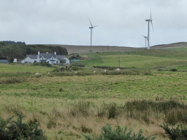
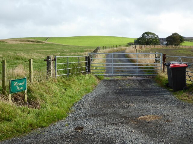
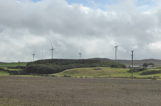
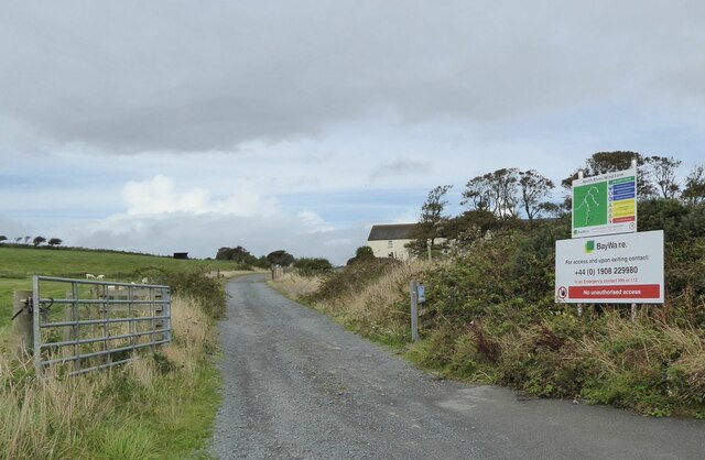
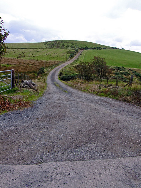
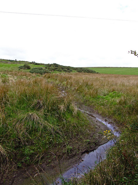
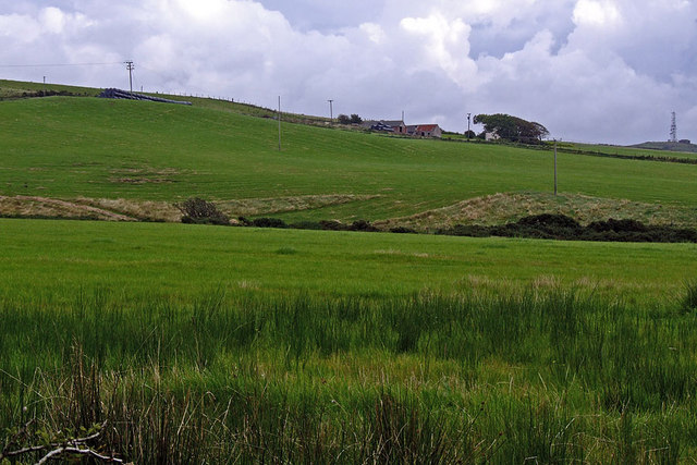
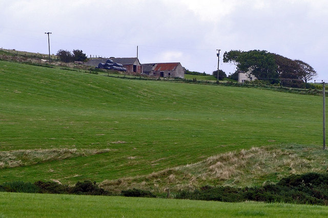
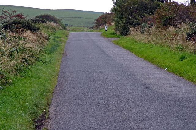
Covered in lush greenery, Armstrong's Hill presents a captivating landscape that includes rolling hills, scattered woodlands, and picturesque meadows. The hill itself boasts a gentle incline, making it easily accessible for hikers of all skill levels. The well-maintained footpath leading to the summit ensures a pleasant trek, and benches along the way provide opportunities for rest and contemplation.

At the top of Armstrong's Hill, visitors are rewarded with an awe-inspiring vista that stretches for miles. On clear days, it is possible to see across the Irish Sea to the coast of Northern Ireland. The hill offers an idyllic spot for picnics or simply to bask in the beauty of nature.

Armstrong's Hill holds historical significance in the region, as it is named after the prominent Armstrong family who once owned the land. The hill remains a cherished part of the local heritage and is often featured in literature and artwork inspired by the area.

In conclusion, Armstrong's Hill in Wigtownshire is a captivating natural landmark, offering stunning views and a tranquil environment. Whether seeking a peaceful retreat or an adventure in the great outdoors, this hill is a must-visit destination for nature enthusiasts and history lovers alike.

If you have any feedback on the listing, please let us know in the comments section below.

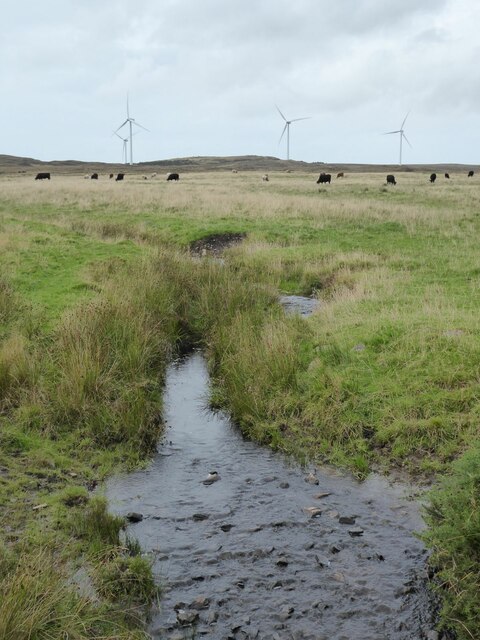
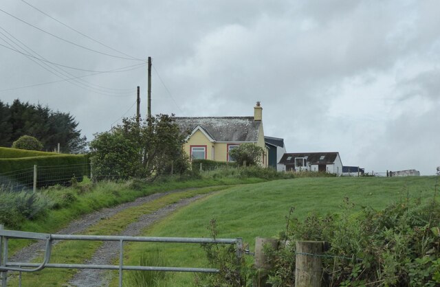
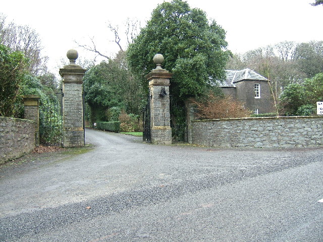
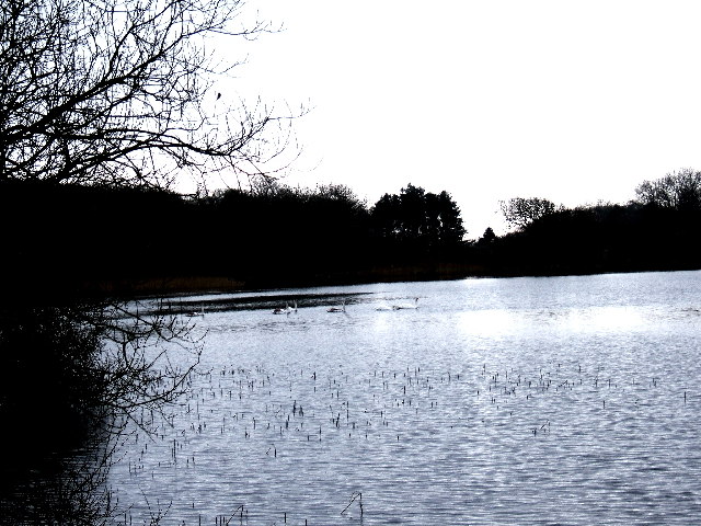
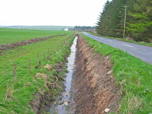
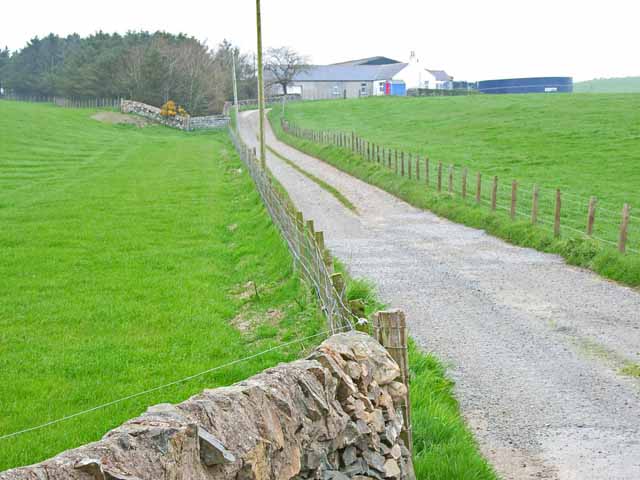
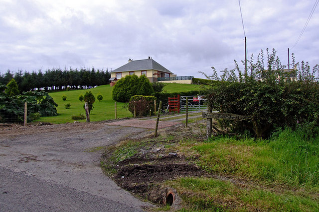
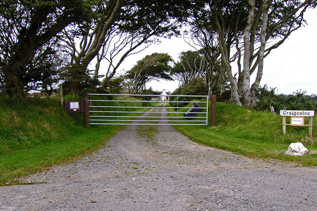
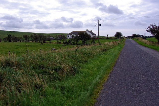
Armstrong's Hill Images

Images are sourced within 2km of 54.867024/-5.0857072 or Grid Reference NX0256. Thanks to Geograph Open Source API. All images are credited.

Sheep in rough pasture  Near Low Auchenree with the wind farm on Craigenlee Fell in the distance.
Sheep in rough pasture
Near Low Auchenree with the wind farm on Craigenlee Fell in the distance.
Track to Moorcroft Pasture leading up to Moorcroft Moss in the distance.
Track to Moorcroft
Pasture leading up to Moorcroft Moss in the distance.
Low Auchenree on the right With the North Rhins Wind Farm on Craigenlee Fell in the background.
Low Auchenree on the right
With the North Rhins Wind Farm on Craigenlee Fell in the background.
Access to the North Rhins Wind Farm On Craigenlee Fell some 2 km further north.
Enoch farm is just right of centre.
Access to the North Rhins Wind Farm
On Craigenlee Fell some 2 km further north. Enoch farm is just right of centre.
Pinminnoch Burn With North Rhins Wind Farm on the horizon and cattle on the eastern slopes of Craigenlee Fell.
Pinminnoch Burn
With North Rhins Wind Farm on the horizon and cattle on the eastern slopes of Craigenlee Fell.
Knockglass Croft South of Crailloch Hill.
Knockglass Croft
South of Crailloch Hill.
The entrance to Dunskey House near Portpatrick The magnificent large gateposts at the entrance to Dunskey House and estate near Portpatrick which is presently owned by Mr and Mrs Orr-Ewing.
The entrance to Dunskey House near Portpatrick
The magnificent large gateposts at the entrance to Dunskey House and estate near Portpatrick which is presently owned by Mr and Mrs Orr-Ewing.
The New Loch, Dunskey Estate near Portpatrick One of the Dunskey Estate lochs which is stocked with trout and day tickets are available.
The New Loch, Dunskey Estate near Portpatrick
One of the Dunskey Estate lochs which is stocked with trout and day tickets are available.
Converging parallel lines On the B738 north of Portpatrick
Converging parallel lines
On the B738 north of Portpatrick
Craigslave On the B738 north of Portpatrick
Craigslave
On the B738 north of Portpatrick
Knockglass Croft
Knockglass Croft
Road to Challoch-hill Farm
Feeder for Pinminnoch Burn
Challoch-hill Farm Pinminnoch burn in the foreground
Challoch-hill Farm
Pinminnoch burn in the foreground
Challoch-hill Farm
Challoch-hill Farm
Country Road Entrance to Craigenlee farm on the right (the bollards)
Country Road
Entrance to Craigenlee farm on the right (the bollards)
Craigenlee Farm Access Road
Craigenlee Farm
Access Road
Craigenlee Croft
Craigenlee Croft
Show me another place!

Armstrong's Hill is located at Grid Ref: NX0256 (Lat: 54.867024, Lng: -5.0857072)

Unitary Authority: Dumfries and Galloway

Police Authority: Dumfries and Galloway

What 3 Words

///topping.nodded.flick. Near Stranraer, Dumfries & Galloway

Related Wikis

Rhins of Galloway

The Rhins (or Rhinns) of Galloway is a double-headed peninsula in southwestern Scotland. It takes the form of a hammerhead projecting into the Irish Sea...

Colfin railway station

Colfin railway station, located in Wigtownshire, Scotland, between Portpatrick and Stranraer, was a station on the Portpatrick and Wigtownshire Joint Railway...

Portpatrick railway station

Portpatrick railway station was a railway station serving the village of Portpatrick, Dumfries & Galloway, Scotland. Opened in 1862 the station served...

Portpatrick

Portpatrick is a village and civil parish in the historical county of Wigtownshire, Dumfries and Galloway, Scotland. It is located on the west coast of...

Nearby Amenities

Located within 500m of 54.867024,-5.0857072
North Rhins
Generator Method: wind_turbine
Generator Source: wind
Generator Type: horizontal_axis
Power: generator
Lat/Long: 54.8691622/-5.0875288
Power: pole
Lat/Long: 54.8664435/-5.0786743
Power: pole
Lat/Long: 54.8665485/-5.0796533
Power: pole
Lat/Long: 54.8662197/-5.0809836
Power: pole
Lat/Long: 54.8659511/-5.082145
Power: pole
Lat/Long: 54.8655961/-5.0835693
Power: pole
Lat/Long: 54.8653229/-5.0846878
Power: pole
Lat/Long: 54.8650265/-5.0859216
Power: pole
Lat/Long: 54.8656332/-5.0785133
Power: pole
Lat/Long: 54.8651932/-5.0796962
Power: pole
Lat/Long: 54.8648876/-5.080525
Power: pole
Lat/Long: 54.8646097/-5.0812787
Power: pole
Lat/Long: 54.8640463/-5.0827566
Power: pole
Lat/Long: 54.8635662/-5.0840253
Power: pole
Lat/Long: 54.8630691/-5.0853838
Power: pole
Lat/Long: 54.8634983/-5.086623
Power: pole
Lat/Long: 54.8638078/-5.0875457
Power: pole
Lat/Long: 54.8643242/-5.089041
Power: pole
Lat/Long: 54.8647718/-5.0870025
Power: pole
Lat/Long: 54.8644963/-5.0881089
Location Transition: yes
Power: pole
Lat/Long: 54.8644669/-5.0893199
Power: pole
Lat/Long: 54.8626275/-5.0844357
The data included in this document is from www.openstreetmap.org. The data is made available under ODbL.

Have you been to Armstrong's Hill?

Leave your review of Armstrong's Hill below (or comments, questions and feedback).