Mid Hill

Hill, Mountain in Wigtownshire

Scotland

Mid Hill

Access to the North Rhins Wind Farm On Craigenlee Fell some 2 km further north.
Enoch farm is just right of centre.
Access to the North Rhins Wind Farm Credit: Russel Wills

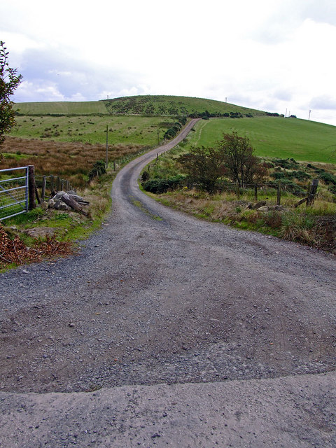
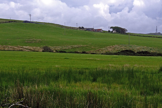
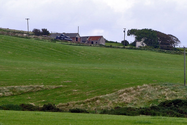
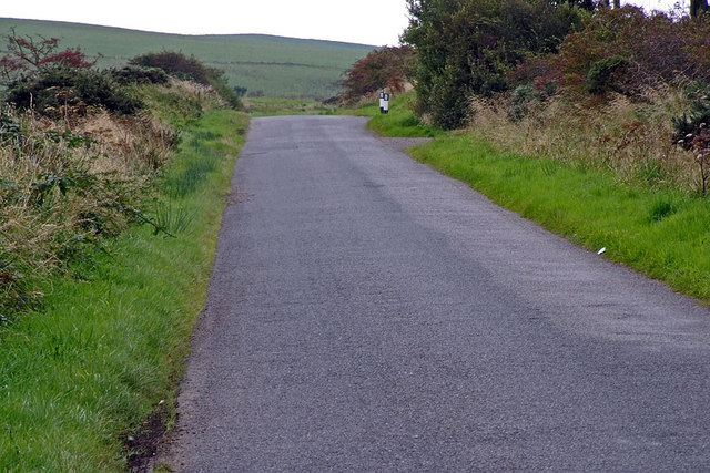
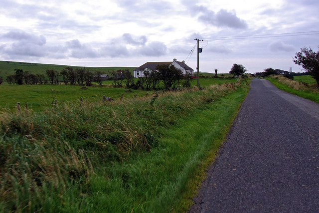
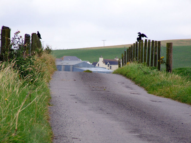
Mid Hill is a prominent hill located in Wigtownshire, Scotland. Standing at an elevation of 251 meters (823 feet), it offers stunning views of the surrounding countryside and coastline. The hill is a popular destination for hikers and nature enthusiasts, with a well-marked trail leading to the summit.

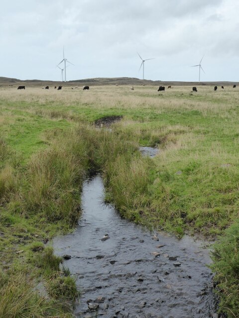
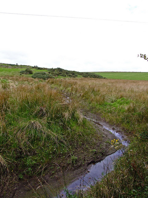
Mid Hill is known for its diverse flora and fauna, including heather, gorse, and a variety of bird species. The hill is also home to a number of archaeological sites, including ancient burial cairns and stone circles, hinting at its long history of human habitation.

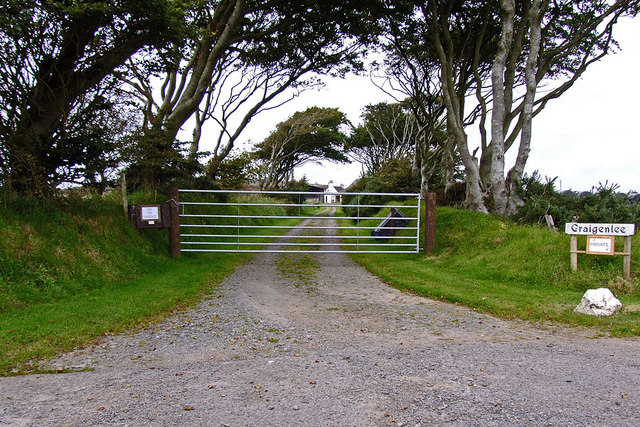
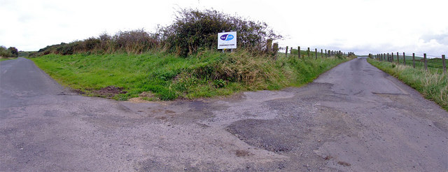
The hill is easily accessible by foot or by car, with a parking area located at the base of the hill. Visitors can enjoy a leisurely hike to the summit, taking in the picturesque landscape along the way. On a clear day, it is possible to see across the Irish Sea to the Isle of Man and even as far as the peaks of the Lake District in England.

Overall, Mid Hill is a beautiful and tranquil location, perfect for those looking to immerse themselves in the natural beauty of Wigtownshire.

If you have any feedback on the listing, please let us know in the comments section below.
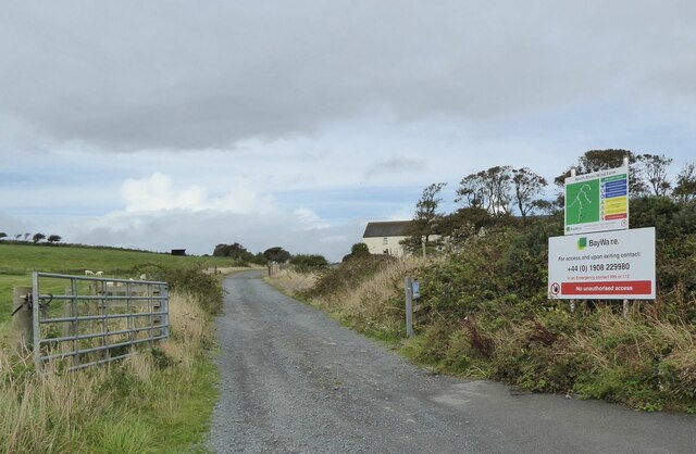
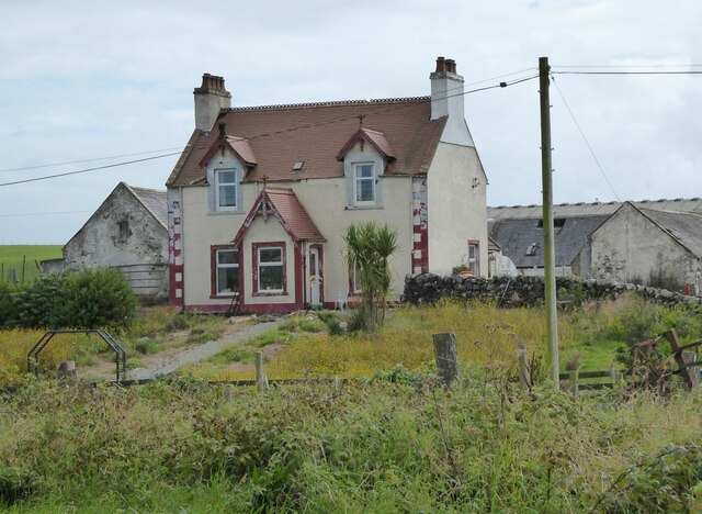
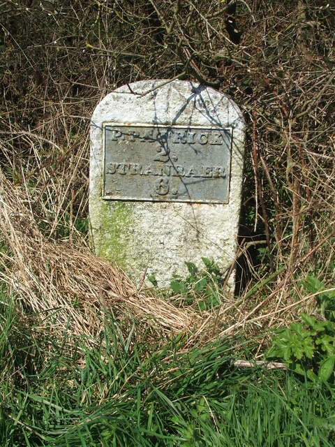
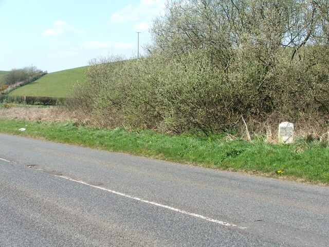
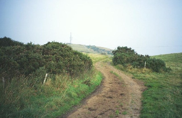
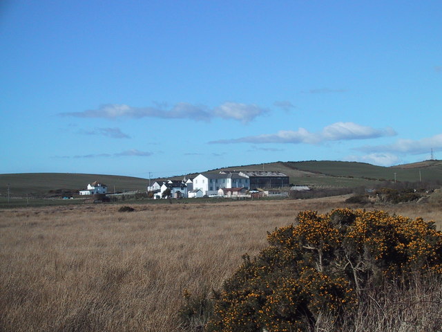
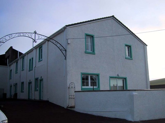
Mid Hill Images

Images are sourced within 2km of 54.860136/-5.0726188 or Grid Reference NX0256. Thanks to Geograph Open Source API. All images are credited.

Access to the North Rhins Wind Farm On Craigenlee Fell some 2 km further north.
Enoch farm is just right of centre.
Access to the North Rhins Wind Farm
On Craigenlee Fell some 2 km further north. Enoch farm is just right of centre.
Meikle Pinminnoch Beside the A77.
Meikle Pinminnoch
Beside the A77.
Pinminnoch Burn With North Rhins Wind Farm on the horizon and cattle on the eastern slopes of Craigenlee Fell.
Pinminnoch Burn
With North Rhins Wind Farm on the horizon and cattle on the eastern slopes of Craigenlee Fell.
Old milestone It doesn't look as if this milestone has received any tlc since I photographed it in 2008.   It is near the minor cross roads leading south to Lagganmore and north along the line of the Old Military Road towards Stranraer.  Another milestone for the bench mark enthusiasts.
Old milestone
It doesn't look as if this milestone has received any tlc since I photographed it in 2008. It is near the minor cross roads leading south to Lagganmore and north along the line of the Old Military Road towards Stranraer. Another milestone for the bench mark enthusiasts.
Old milestone At the back of a quite wide verge, the milestone just needs to have overgrown vegetation removed.  The hedge across the middle distance is on the lane that is a back, quiet way into Stranraer.
Old milestone
At the back of a quite wide verge, the milestone just needs to have overgrown vegetation removed. The hedge across the middle distance is on the lane that is a back, quiet way into Stranraer.
Craigenquarroch Farm track. There was a farm near here, but it has been demolished. Mast on Cairn Pat "next door"
Craigenquarroch
Farm track. There was a farm near here, but it has been demolished. Mast on Cairn Pat "next door"
Colfin Creamery
Colfin Creamery
Colfin Court
Colfin Court
Road to Challoch-hill Farm
Feeder for Pinminnoch Burn
Challoch-hill Farm Pinminnoch burn in the foreground
Challoch-hill Farm
Pinminnoch burn in the foreground
Challoch-hill Farm
Challoch-hill Farm
Country Road Entrance to Craigenlee farm on the right (the bollards)
Country Road
Entrance to Craigenlee farm on the right (the bollards)
Craigenlee Farm Access Road
Craigenlee Farm
Access Road
Craigenlee Croft
Craigenlee Croft
Pinminnoch Farm Entrance to Pinminnoch farm off the old roman road.
Pinminnoch Farm
Entrance to Pinminnoch farm off the old roman road.
Pinminnoch Farm Looking down access road
Pinminnoch Farm
Looking down access road
Enoch Farm
Enoch Farm
Show me another place!

Mid Hill is located at Grid Ref: NX0256 (Lat: 54.860136, Lng: -5.0726188)

Unitary Authority: Dumfries and Galloway

Police Authority: Dumfries and Galloway

What 3 Words

///winners.splinters.preparing. Near Stranraer, Dumfries & Galloway

Related Wikis

Rhins of Galloway

The Rhins (or Rhinns) of Galloway is a double-headed peninsula in southwestern Scotland. It takes the form of a hammerhead projecting into the Irish Sea...

Colfin railway station

Colfin railway station, located in Wigtownshire, Scotland, between Portpatrick and Stranraer, was a station on the Portpatrick and Wigtownshire Joint Railway...

Portpatrick railway station

Portpatrick railway station was a railway station serving the village of Portpatrick, Dumfries & Galloway, Scotland. Opened in 1862 the station served...

Dunskey

Dunskey Estate (also known as Portree Estate) is north of Portpatrick on the west coast of Scotland. The B-listed mansion dates from the start of the twentieth...

Nearby Amenities

Located within 500m of 54.860136,-5.0726188
Power: pole
Lat/Long: 54.8637743/-5.0757282
Power: pole
Lat/Long: 54.863628/-5.0754682
Power: pole
Lat/Long: 54.8560187/-5.0702278
Power: pole
Lat/Long: 54.8561795/-5.071128
Power: pole
Lat/Long: 54.856376/-5.0721971
Power: pole
Lat/Long: 54.8565648/-5.0732778
Power: pole
Lat/Long: 54.8565793/-5.0737725
Power: pole
Lat/Long: 54.8565938/-5.0742828
Power: pole
Lat/Long: 54.8566184/-5.0747989
The data included in this document is from www.openstreetmap.org. The data is made available under ODbL.

Have you been to Mid Hill?

Leave your review of Mid Hill below (or comments, questions and feedback).