Cnoc an Reithe

Hill, Mountain in Argyllshire

Scotland

Cnoc an Reithe

Ferry at Colintraive A Black of Dunoon lorry leaving the ferry Loch Dunvegan, having just made the crossing from Rhubodach in under five minutes.
Ferry at Colintraive Credit: Thomas Nugent

The requested URL returned error: 429 Too Many Requests

If you have any feedback on the listing, please let us know in the comments section below.

Cnoc an Reithe Images

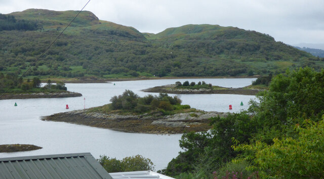
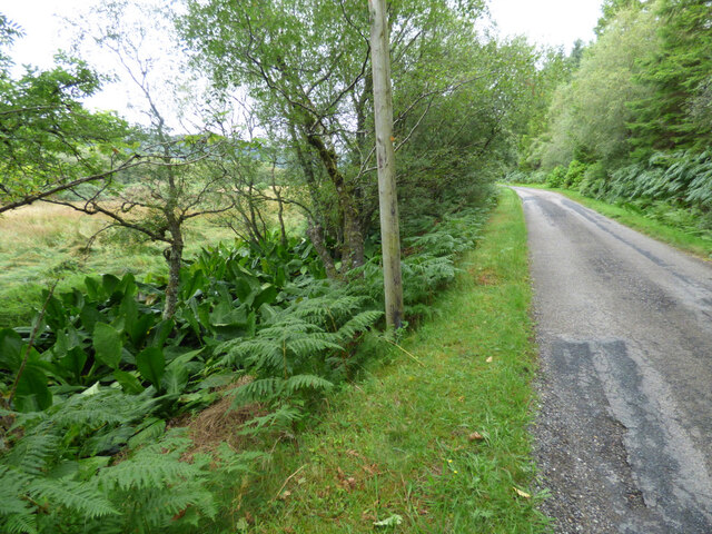
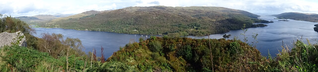
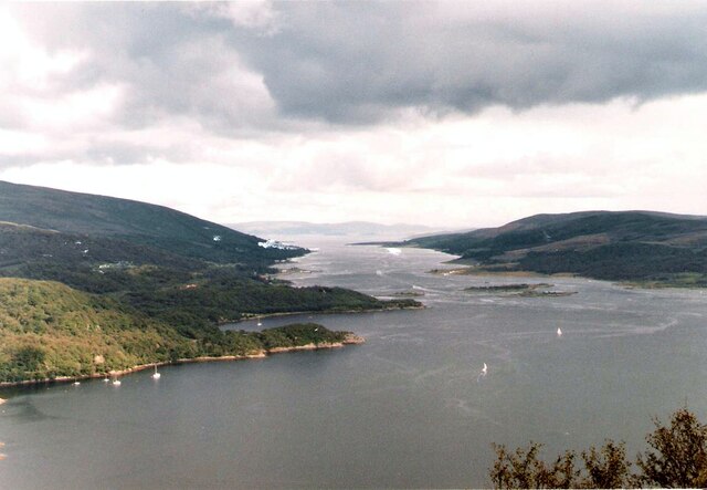
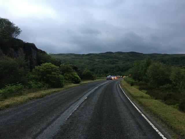
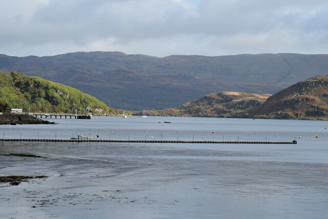
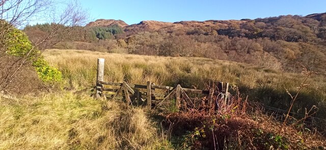
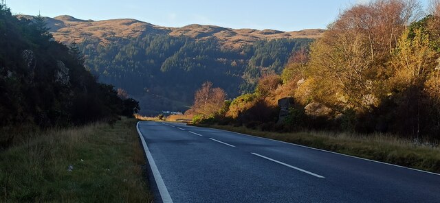
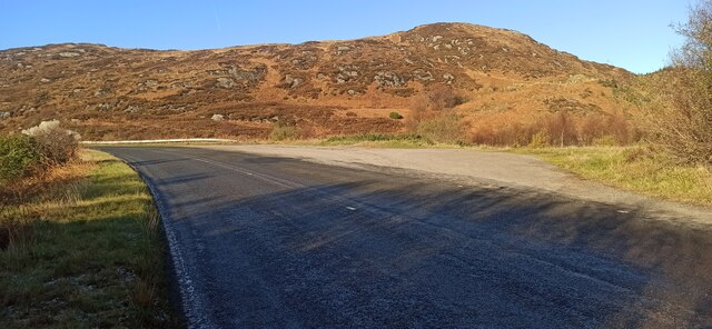
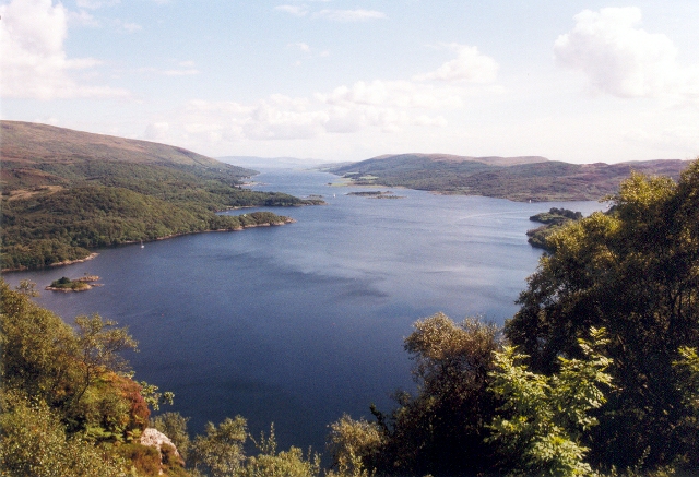
Images are sourced within 2km of 55.938454/-5.1703547 or Grid Reference NS0276. Thanks to Geograph Open Source API. All images are credited.

Ferry at Colintraive A Black of Dunoon lorry leaving the ferry Loch Dunvegan, having just made the crossing from Rhubodach in under five minutes.
Ferry at Colintraive
A Black of Dunoon lorry leaving the ferry Loch Dunvegan, having just made the crossing from Rhubodach in under five minutes.
The Kyles of Bute Looking towards the Isle of Bute and the Rhubodach ferry slipway from the B866 road at Glachavoil.
The Kyles of Bute
Looking towards the Isle of Bute and the Rhubodach ferry slipway from the B866 road at Glachavoil.
The Burnt Islands In the Kyles of Bute near Colintraive. Viewed from the B866 road at Glachavoil.
The Burnt Islands
In the Kyles of Bute near Colintraive. Viewed from the B866 road at Glachavoil.
The B866 road at Loch Riddon A patch of Skunk Cabbage can be seen on the left. See also <a href="https://www.geograph.org.uk/photo/6978368">NS0177 : Skunk Cabbage by the B866 road at Loch Riddon</a>.
The B866 road at Loch Riddon
A patch of Skunk Cabbage can be seen on the left. See also NS0177 : Skunk Cabbage by the B866 road at Loch Riddon.
Skunk Cabbage by the B866 road at Loch Riddon By the roadside near Eilean Dearg, see also <a href="https://www.geograph.org.uk/photo/6978366">NS0177 : The B866 road at Loch Riddon</a>.
Skunk Cabbage by the B866 road at Loch Riddon
By the roadside near Eilean Dearg, see also NS0177 : The B866 road at Loch Riddon.
Loch Riddon and Kyles of Bute A fine view in 'panorama' format from the viewpoint above Loch Riddon, which is to the left, and includes the Kyles of Bute to the right.
Loch Riddon and Kyles of Bute
A fine view in 'panorama' format from the viewpoint above Loch Riddon, which is to the left, and includes the Kyles of Bute to the right.
Houses at Colintraive From the ferry terminal
Houses at Colintraive
From the ferry terminal
RNMB Hebe in the Kyles of Bute The 15 metre Royal Navy Minehunter Boat Hebe, named after the ancient Greek goddess of youth, is one of three of the Royal Navy’s crewless minehunting boats currently under comprehensive trials around the Firth of Clyde under Project Wilton. The boats are capable of working in different configurations (manually, remotely or autonomously) to detect and classify mines and maritime ordnance.

Seen here heading up the Kyles past Colintraive ferry terminal.
RNMB Hebe in the Kyles of Bute
The 15 metre Royal Navy Minehunter Boat Hebe, named after the ancient Greek goddess of youth, is one of three of the Royal Navy’s crewless minehunting boats currently under comprehensive trials around the Firth of Clyde under Project Wilton. The boats are capable of working in different configurations (manually, remotely or autonomously) to detect and classify mines and maritime ordnance. Seen here heading up the Kyles past Colintraive ferry terminal.
Loch Riddon, Kyles of Bute Rubha na Croiche at the north end of the Kyles of Bute.
Loch Riddon, Kyles of Bute
Rubha na Croiche at the north end of the Kyles of Bute.
Ferry waiting at Colintraive A Saturday afternoon in May and the ferry queue [behind camera] has grown to four vehicles. This facility appears to be much less used than the CalMac service between Rothesay and Wemyss Bay.
Ferry waiting at Colintraive
A Saturday afternoon in May and the ferry queue [behind camera] has grown to four vehicles. This facility appears to be much less used than the CalMac service between Rothesay and Wemyss Bay.
A886 towards Colintraive
West Kyle From Tighnabruaich
West Kyle
From Tighnabruaich
Shoreline at Rhubadoch
CalMac ferry Loch Dunvegan at  Colintraive
CalMac ferry Loch Dunvegan at Colintraive
Rough pasture by the A886 road Autumn colours on the distant hills.
Rough pasture by the A886 road
Autumn colours on the distant hills.
The A886 road Dropping down to Loch Riddon, with the 297m high Creagan Dubh in the distance.
The A886 road
Dropping down to Loch Riddon, with the 297m high Creagan Dubh in the distance.
Forestry road off the A886 Near the top of the hill above Loch Riddon.
Forestry road off the A886
Near the top of the hill above Loch Riddon.
Show me another place!

Cnoc an Reithe is located at Grid Ref: NS0276 (Lat: 55.938454, Lng: -5.1703547)

Unitary Authority: Argyll and Bute

Police Authority: Argyll and West Dunbartonshire

What 3 Words

///flaunting.deposits.potential. Near Port Bannatyne, Argyll & Bute

Nearby Locations

Cnoc an Reithe

Related Wikis

Burnt Islands

The Burnt Islands (Scottish Gaelic: Na h-Eileanan Loisgte) are three small islands that lie in the Kyles of Bute, on the Cowal Peninsula, Argyll and Bute...

Kyles of Bute

The Kyles of Bute (Scottish Gaelic: Na Caoil Bhòdach) form a narrow sea channel that separates the northern end of the Isle of Bute from the Cowal peninsula...

Eilean Dearg, Loch Ruel

Eilean Dearg is a small island in Loch Ruel (or Loch Riddon) in Argyll, Scotland. The island was once home to a castle, which was destroyed by naval action...

Eilean Dubh, Kyles of Bute

This particular Eilean Dubh (Scottish Gaelic: Black Island) is sometimes known as Glen Caladh Island and lies just off the Cowal peninsula in the Kyles...

Nearby Amenities

Located within 500m of 55.938454,-5.1703547
Source: PGS
Lat/Long: 55.9373448/-5.17802
Source: PGS
Lat/Long: 55.9370867/-5.1778263
The data included in this document is from www.openstreetmap.org. The data is made available under ODbL.

Have you been to Cnoc an Reithe?

Leave your review of Cnoc an Reithe below (or comments, questions and feedback).