Carn Glas

Hill, Mountain in Inverness-shire

Scotland

Carn Glas

Minor road to Clovullin Looking north-eastward.
Minor road to Clovullin Credit: Peter Wood

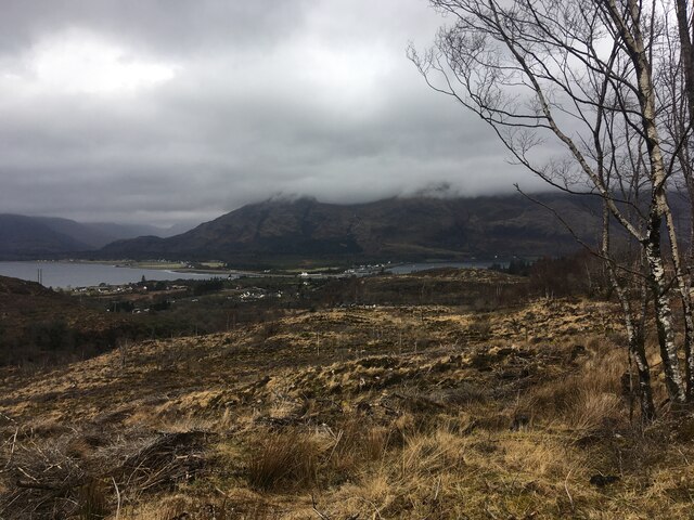
Carn Glas is a prominent hill located in Inverness-shire, a region in the Scottish Highlands of Scotland. Standing at an elevation of approximately 1,067 meters (3,501 feet), it is considered a notable mountain within the area. The hill is situated in the Monadhliath Mountains, which span across the eastern part of Inverness-shire.

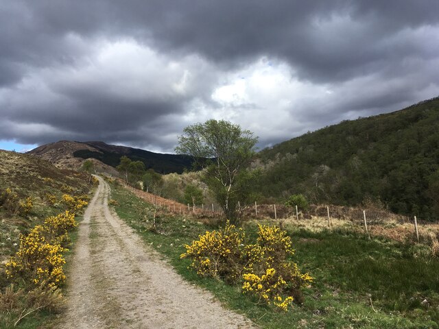
Carn Glas boasts a distinctive appearance with its rugged and rocky terrain, typical of the Scottish Highlands. Its slopes are covered with heather and scattered patches of grass, creating a picturesque landscape. The hill is surrounded by other peaks and valleys, offering breathtaking panoramic views of the surrounding countryside.

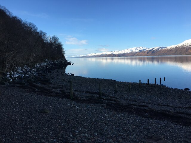
The ascent of Carn Glas can be challenging for some hikers due to its steep and uneven paths. However, the effort is well rewarded, as reaching the summit offers stunning vistas of the surrounding mountains, lochs, and glens. On clear days, it is even possible to see as far as the Cairngorms National Park in the east.

The hill is frequented by both experienced mountaineers and nature enthusiasts seeking to explore the beauty of the Scottish Highlands. It provides opportunities for various outdoor activities such as hiking, hillwalking, and birdwatching. The area is also home to a diverse range of wildlife, including red deer, golden eagles, and ptarmigans.

Overall, Carn Glas is a captivating natural landmark that showcases the raw beauty and untamed wilderness of Inverness-shire. Its striking appearance, challenging trails, and breathtaking views make it a popular destination for outdoor enthusiasts and a must-visit spot for those exploring the Scottish Highlands.

If you have any feedback on the listing, please let us know in the comments section below.
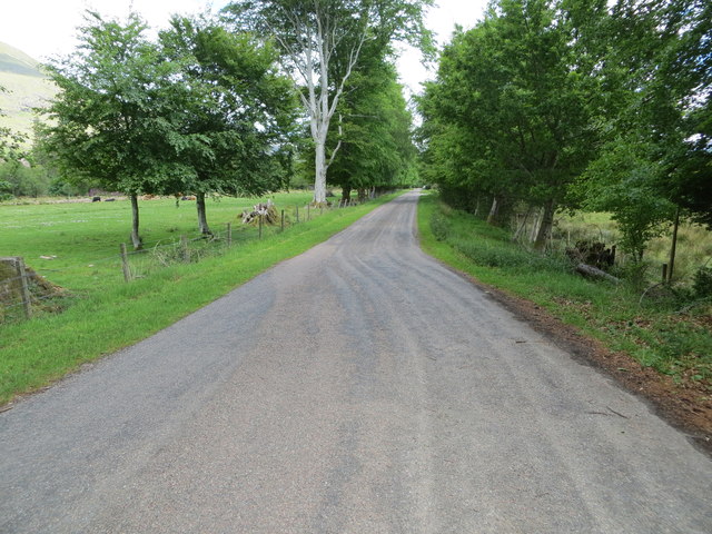
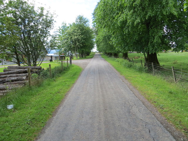
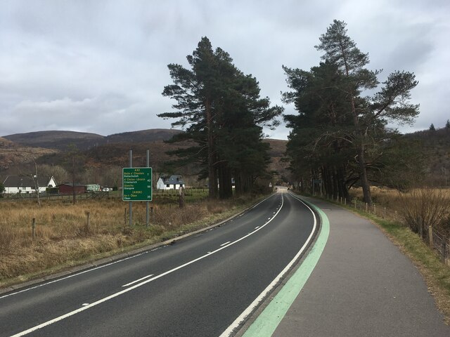
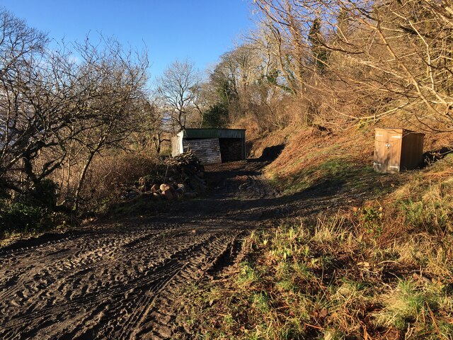
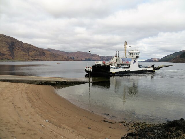
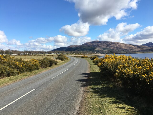
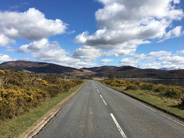
Carn Glas Images

Images are sourced within 2km of 56.717151/-5.2384635 or Grid Reference NN0163. Thanks to Geograph Open Source API. All images are credited.

Minor road to Clovullin Looking north-eastward.
Minor road to Clovullin
Looking north-eastward.
Minor road from Clovullin to A861 at Blar Ruatharach Looking south-westward.
Minor road from Clovullin to A861 at Blar Ruatharach
Looking south-westward.
Clear-felled forestry above Inchree
Clear-felled forestry, Inchree
Track junction above Inchree
A82 with no traffic Photo taken during the initial Covid pandemic lockdown.
A82 with no traffic
Photo taken during the initial Covid pandemic lockdown.
Track from Onich to Glen Righ
Corran Lighthouse and shoreline at Corran Narrows
Loch Linnhe from Inchree Looking from Inchree over Bunree towards Loch Linnhe.
Loch Linnhe from Inchree
Looking from Inchree over Bunree towards Loch Linnhe.
Forestry road and evidence of harvesting, Inchree
Old water tank, Corran
Shoreline of Loch Linnhe at Bunree
Track and shed near Onich
Corran Ferry at Ardgour
A861 past Clovullin
A861 past Clovullin
A861 past Clovullin
A861 past Clovullin
New house by the ferry queue, Nether Lochaber There has been a lot of development here in the past few years.
New house by the ferry queue, Nether Lochaber
There has been a lot of development here in the past few years.
A861, Corran The long way round, just north of the ferry pier.
A861, Corran
The long way round, just north of the ferry pier.
Show me another place!

Carn Glas is located at Grid Ref: NN0163 (Lat: 56.717151, Lng: -5.2384635)

Unitary Authority: Highland

Police Authority: Highlands and Islands

What 3 Words

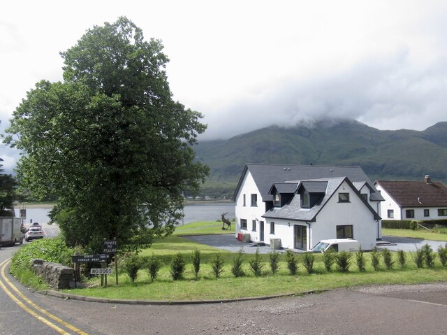
///lamenting.shorts.obscuring. Near Glencoe, Highland

Related Wikis

Corran Ferry

The Corran Ferry crosses Loch Linnhe at the Corran Narrows, south of Fort William, Scotland. == Description == Operated by Highland Council, the Corran...

Corran, Lochaber

Corran (Scottish Gaelic: An Corran) is a former fishing village, situated on Corran Point, on the west side of the Corran Narrows of Loch Linnhe, in Lochaber...

Inchree

Inchree (Scottish Gaelic: Innis an Ruighe) is a small hamlet, situated at the northern end of the village of Onich. It is 7 miles south of the town of...

Onich

Onich (; Gaelic: Omhanaich, 'abounding in froth, frothy place'), also spelled Ounich, is a village in the historic county of Inverness-shire on the east...

Nearby Amenities

Located within 500m of 56.717151,-5.2384635
Source: PGS
Lat/Long: 56.7213059/-5.2355218
Source: PGS
Lat/Long: 56.7208664/-5.2359391
Source: PGS
Lat/Long: 56.7203054/-5.236399
Source: PGS
Lat/Long: 56.7200558/-5.2369734
Source: PGS
Lat/Long: 56.7196376/-5.2375354
Source: PGS
Lat/Long: 56.7194742/-5.2379312
Source: PGS
Lat/Long: 56.7192047/-5.2383804
Source: PGS
Lat/Long: 56.7187754/-5.2389557
Source: PGS
Lat/Long: 56.7185879/-5.2393994
Source: PGS
Lat/Long: 56.718415/-5.2397037
Source: PGS
Lat/Long: 56.717557/-5.239868
Source: PGS
Lat/Long: 56.717166/-5.2399334
Source: PGS
Lat/Long: 56.7167115/-5.2402112
Source: PGS
Lat/Long: 56.7163216/-5.2406246
Source: PGS
Lat/Long: 56.7163061/-5.2402556
Source: PGS
Lat/Long: 56.7154967/-5.2392907
Source: PGS
Lat/Long: 56.7153783/-5.2392435
Source: PGS
Lat/Long: 56.7152161/-5.2393553
Source: PGS
Lat/Long: 56.7151225/-5.2392638
Source: PGS
Lat/Long: 56.7149532/-5.2390959
Source: PGS
Lat/Long: 56.7146944/-5.2388718
Source: PGS
Lat/Long: 56.7145116/-5.2386844
Source: PGS
Lat/Long: 56.7143763/-5.2385479
Source: PGS
Lat/Long: 56.7141919/-5.2383152
Source: PGS
Lat/Long: 56.7131736/-5.2375094
Source: PGS
Lat/Long: 56.7134687/-5.2379533
Source: PGS
Lat/Long: 56.7128842/-5.2385591
Source: PGS
Lat/Long: 56.7126971/-5.2386337
Bunree
Name En: Bunree
Name Gd: Bun Ruighe
Place: hamlet
Lat/Long: 56.7170977/-5.2363979
Restaurant
Roam West
Addr Country: GB
Addr Postcode: PH33 6SE
Cuisine: Scottish pub food
Fhrs Id: 538062
Phone: +44 1855 821041
Lat/Long: 56.7180697/-5.2306985
Power: pole
Lat/Long: 56.7202971/-5.233885
Power: pole
Lat/Long: 56.720877/-5.2341229
Power: pole
Lat/Long: 56.7196036/-5.2331901
Traffic Signals
Lat/Long: 56.7136602/-5.2350731
WWI RMLI Gun Battery
Historic: ruins
Lat/Long: 56.7206119/-5.2434354
Power: pole
Lat/Long: 56.7197161/-5.2341919
Power: pole
Lat/Long: 56.7191286/-5.2345011
Power: pole
Lat/Long: 56.7184605/-5.2348437
Power: pole
Lat/Long: 56.717686/-5.2352567
Power: pole
Lat/Long: 56.717121/-5.2355542
Power: pole
Lat/Long: 56.7172993/-5.234415
Power: pole
Lat/Long: 56.7174519/-5.2333913
Power: pole
Lat/Long: 56.7175432/-5.2328041
Power: pole
Lat/Long: 56.7176334/-5.2321738
Power: pole
Lat/Long: 56.7177848/-5.2311657
Power: pole
Lat/Long: 56.7169781/-5.2323284
Power: pole
Lat/Long: 56.7164389/-5.231886
Power: pole
Lat/Long: 56.7158116/-5.2313536
Power: pole
Lat/Long: 56.7154861/-5.2310854
Power: pole
Lat/Long: 56.7135223/-5.234188
Source: PGS
Lat/Long: 56.7135748/-5.2374141
Bench
Backrest: yes
Lat/Long: 56.7129393/-5.2382922
Recycling
Recycling Type: container
Lat/Long: 56.7128933/-5.2367653
Entrance: main
Lat/Long: 56.7134803/-5.2351686
Bench
Backrest: yes
Lat/Long: 56.7128072/-5.238378
Defibrillator
Emergency: defibrillator
Lat/Long: 56.7135635/-5.235062
Bench
Backrest: yes
Lat/Long: 56.7127088/-5.2383858
Bench
Backrest: yes
Lat/Long: 56.7130529/-5.2381979
Life Ring
Emergency: life_ring
Lat/Long: 56.712771/-5.238379
Waste Basket
Waste: dog_excrement
Lat/Long: 56.7135947/-5.2357603
Traffic Signals
Lat/Long: 56.7143158/-5.2323213
The data included in this document is from www.openstreetmap.org. The data is made available under ODbL.

Have you been to Carn Glas?

Leave your review of Carn Glas below (or comments, questions and feedback).