Rubha nam Faochag

Coastal Feature, Headland, Point in Argyllshire

Scotland

Rubha nam Faochag

Very Static Caravan Quite a surprise to come across this caravan in the Ardgour woodland as at first glance there is no obvious access route.
Very Static Caravan Credit: Robert Struthers

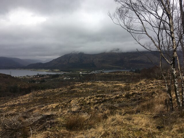
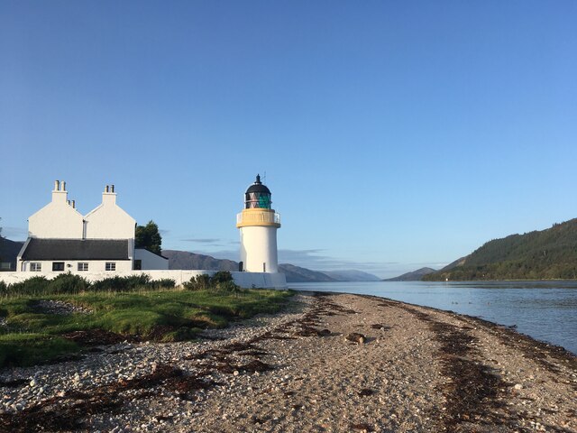
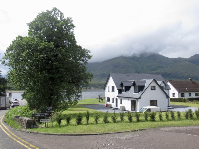
Rubha nam Faochag is a prominent coastal feature located in Argyllshire, Scotland. Situated on the western coast, this headland juts out into the Atlantic Ocean, offering stunning views of the surrounding landscape. The name "Rubha nam Faochag" translates to "Point of the Seagulls" in English, a fitting designation as the headland is known for its abundant avian population.

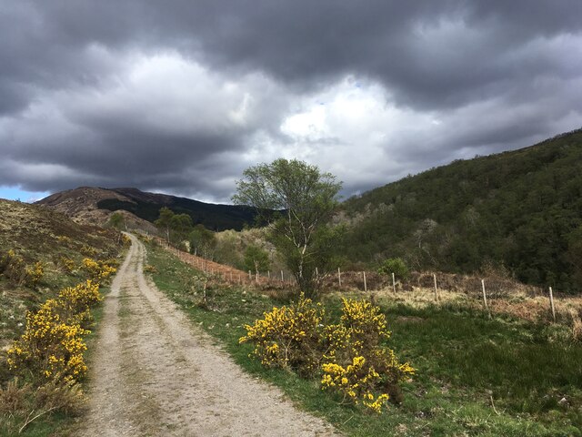
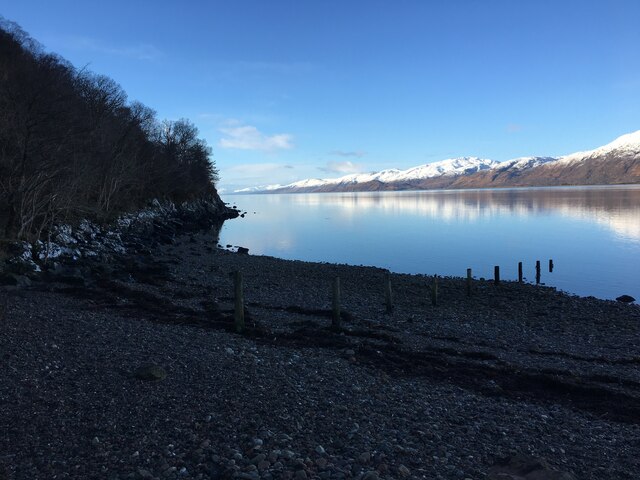
This point is characterized by its rugged cliffs, which stretch for several hundred meters along the coastline. These cliffs are composed of layered sedimentary rock, showcasing the geological history of the region. The variety of rock formations provides a picturesque backdrop, attracting photographers and nature enthusiasts from near and far.

The headland is also home to a diverse range of flora and fauna. The surrounding coastal vegetation includes heather, gorse, and wildflowers, adding vibrant colors to the landscape. In terms of wildlife, Rubha nam Faochag is a haven for seabirds such as seagulls, puffins, and cormorants. Visitors can often spot these birds nesting on the cliffs or soaring above the waves.

For those who enjoy outdoor activities, the headland offers excellent opportunities for hiking and bird-watching. A well-maintained trail winds its way along the cliff edge, providing breathtaking views of the ocean and nearby islands. The path is relatively easy to navigate, making it accessible to people of all fitness levels.

Overall, Rubha nam Faochag is a natural gem on the Scottish coastline. Its rugged beauty, diverse wildlife, and panoramic vistas make it a must-visit destination for anyone exploring Argyllshire.

If you have any feedback on the listing, please let us know in the comments section below.

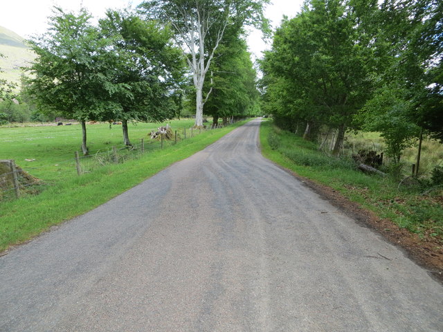
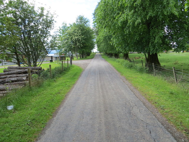
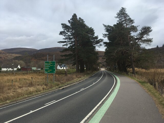
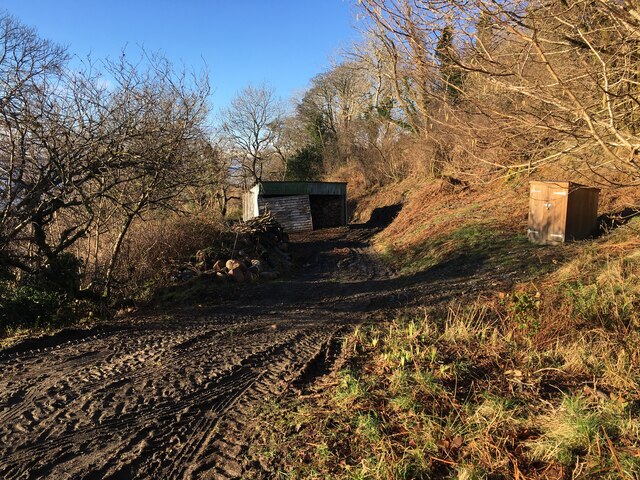
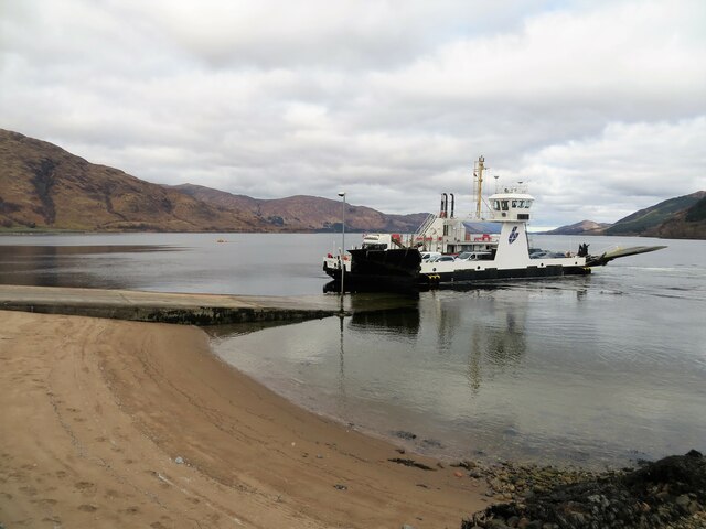
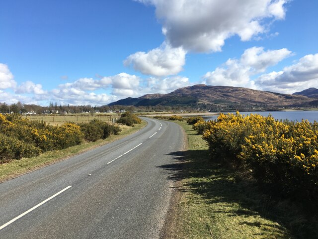
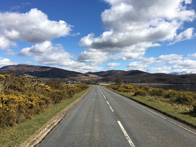
Rubha nam Faochag Images

Images are sourced within 2km of 56.719164/-5.2464349 or Grid Reference NN0163. Thanks to Geograph Open Source API. All images are credited.

Very Static Caravan Quite a surprise to come across this caravan in the Ardgour woodland as at first glance there is no obvious access route.
Very Static Caravan
Quite a surprise to come across this caravan in the Ardgour woodland as at first glance there is no obvious access route.
Minor road to Clovullin Looking north-eastward.
Minor road to Clovullin
Looking north-eastward.
Minor road from Clovullin to A861 at Blar Ruatharach Looking south-westward.
Minor road from Clovullin to A861 at Blar Ruatharach
Looking south-westward.
Clear-felled forestry above Inchree
Clear-felled forestry, Inchree
A82 with no traffic Photo taken during the initial Covid pandemic lockdown.
A82 with no traffic
Photo taken during the initial Covid pandemic lockdown.
Track from Onich to Glen Righ
Corran Lighthouse and shoreline at Corran Narrows
Rough grazing near Ardgour House
Loch Linnhe from Inchree Looking from Inchree over Bunree towards Loch Linnhe.
Loch Linnhe from Inchree
Looking from Inchree over Bunree towards Loch Linnhe.
Forestry road and evidence of harvesting, Inchree
Old water tank, Corran
Shoreline of Loch Linnhe at Bunree
Track and shed near Onich
Corran Ferry at Ardgour
A861 past Clovullin
A861 past Clovullin
A861 past Clovullin
A861 past Clovullin
New house by the ferry queue, Nether Lochaber There has been a lot of development here in the past few years.
New house by the ferry queue, Nether Lochaber
There has been a lot of development here in the past few years.
Show me another place!

Rubha nam Faochag is located at Grid Ref: NN0163 (Lat: 56.719164, Lng: -5.2464349)

Unitary Authority: Highland

Police Authority: Highlands and Islands

What 3 Words

///waltz.martini.rails. Near Glencoe, Highland

Related Wikis

Corran Ferry

The Corran Ferry crosses Loch Linnhe at the Corran Narrows, south of Fort William, Scotland. == Description == Operated by Highland Council, the Corran...

Corran, Lochaber

Corran (Scottish Gaelic: An Corran) is a former fishing village, situated on Corran Point, on the west side of the Corran Narrows of Loch Linnhe, in Lochaber...

Inchree

Inchree (Scottish Gaelic: Innis an Ruighe) is a small hamlet, situated at the northern end of the village of Onich. It is 7 miles south of the town of...

Loch Linnhe

Loch Linnhe ( lokh LIN-ee) is a sea loch on the west coast of Scotland. The part upstream of Corran is known in Gaelic as An Linne Dhubh (the black pool...

Onich

Onich (; Gaelic: Omhanaich, 'abounding in froth, frothy place'), also spelled Ounich, is a village in the historic county of Inverness-shire on the east...

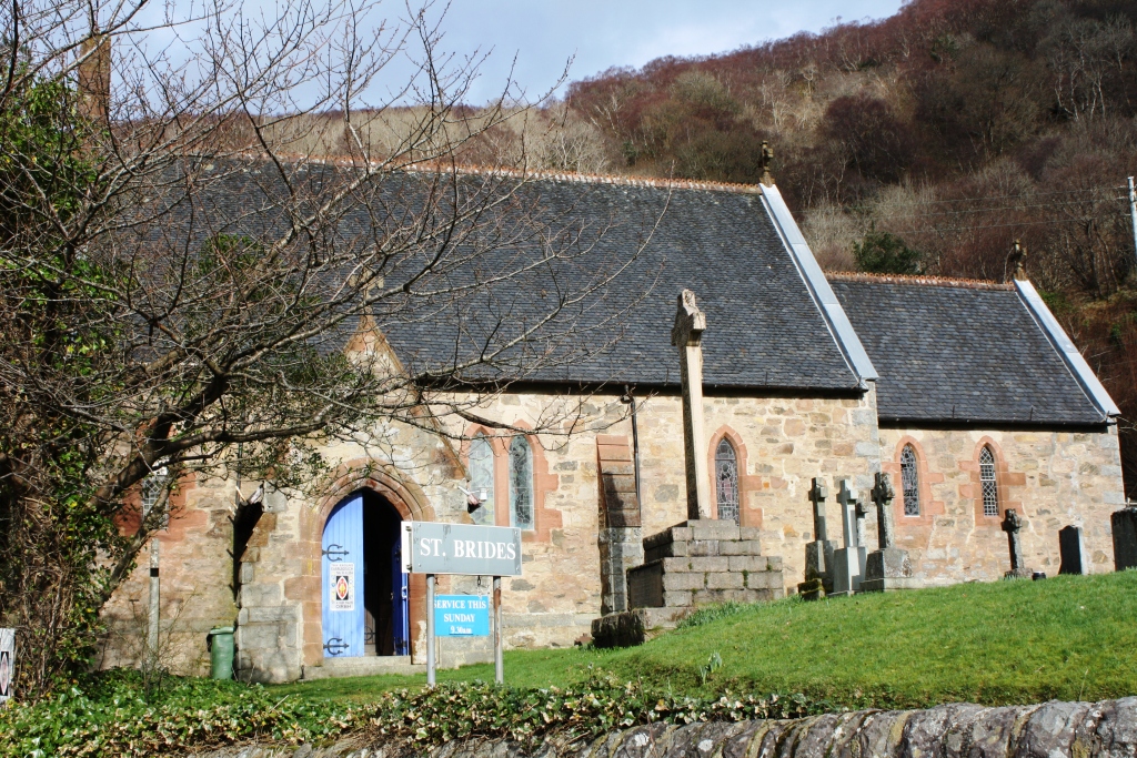
St Bride's Church, Onich

St Bride's Church (alternatively, Saint Brigid of Kildare Church) is an Episcopal parish church in North Ballachulish in the Scottish Highlands, within...

Nether Lochaber

Nether Lochaber ( NEDH-ər lokh-AH-bər) in Lochaber, Highland, Scotland, is the modern (1950s) name for the Parish of Ballachulish and Onich. This Parish...

Kentallen railway station

Kentallen was a railway station at the head of Kentallen Bay, which is on the southern shore of Loch Linnhe in the Highland council area of Scotland. It...

Nearby Amenities

Located within 500m of 56.719164,-5.2464349
Source: PGS
Lat/Long: 56.7192047/-5.2383804
Source: PGS
Lat/Long: 56.7187754/-5.2389557
Source: PGS
Lat/Long: 56.7185879/-5.2393994
Source: PGS
Lat/Long: 56.718415/-5.2397037
Source: PGS
Lat/Long: 56.717557/-5.239868
Source: PGS
Lat/Long: 56.717166/-5.2399334
Source: PGS
Lat/Long: 56.7167115/-5.2402112
Source: PGS
Lat/Long: 56.7163216/-5.2406246
Source: PGS
Lat/Long: 56.7163061/-5.2402556
Bus Stop
Inn
Bus: yes
Naptan AtcoCode: 6700712359
Naptan Bearing: SE
Naptan CommonName: Inn
Naptan Indicator: o/s
Naptan Landmark: Ardgour Slipway
Naptan NaptanCode: 45327685
Naptan Street: A861
Naptan Verified: no
Public Transport: platform
Source: naptan_import
Lat/Long: 56.7225042/-5.2435603
Corran
Alt Name Gd: Corran Àird Ghobhar
Name Gd: An Corran
Place: village
Wikidata: Q1968984
Wikipedia: en:Corran, Lochaber
Lat/Long: 56.7233114/-5.2460259
Booth: K6
Removed Amenity: telephone
Source: survey
Lat/Long: 56.7229284/-5.2444884
Toilets
Check Date: 2023-05-27
Fee: no
Source: survey
Lat/Long: 56.7224071/-5.2437159
Seamark Light Character: Fl
Seamark Light Colour: red
Seamark Light Height: 7
Seamark Light Period: 5
Seamark Light Range: 3
Seamark Light Reference: A 4132.4
Seamark Type: light_minor
Source: US NGA Pub. 114. 2011-05-26.
Lat/Long: 56.7233244/-5.2440865
Ardgour War Memorial
Historic: memorial
Memorial: war_memorial
Lat/Long: 56.7204778/-5.2441655
WWI RMLI Gun Battery
Historic: ruins
Lat/Long: 56.7206119/-5.2434354
Pub
Ardgour Bar
Lat/Long: 56.7224912/-5.2437886
Power: pole
Lat/Long: 56.7228431/-5.2461728
Power: pole
Lat/Long: 56.7222154/-5.2469695
Power: pole
Lat/Long: 56.7227121/-5.2501801
Ferry Terminal
Ferry: yes
Public Transport: station
Lat/Long: 56.7227128/-5.243101
Man Made: mast
Tower Type: communication
Lat/Long: 56.7207486/-5.2457156
Power: pole
Lat/Long: 56.7225914/-5.2454942
Material: wood
Power: pole
Lat/Long: 56.7220071/-5.2445206
Power: pole
Lat/Long: 56.7215008/-5.2436999
Power: pole
Lat/Long: 56.7212121/-5.2432114
Ferry Terminal
Corran Ferry (Ardgour)
Ferry: yes
Phone: +44 1855 841243
Public Transport: station
Website: https://www.highland.gov.uk/homepage/62/corran_ferry
Lat/Long: 56.7226022/-5.2436941
Material: wood
Power: pole
Lat/Long: 56.7191/-5.2519362
The data included in this document is from www.openstreetmap.org. The data is made available under ODbL.

Have you been to Rubha nam Faochag?

Leave your review of Rubha nam Faochag below (or comments, questions and feedback).