A' Chruach
Hill, Mountain in Argyllshire
Scotland
A' Chruach
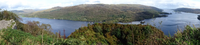
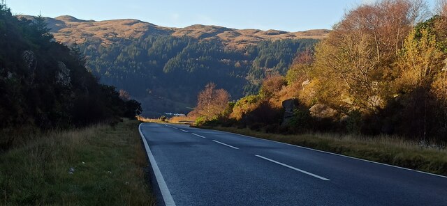
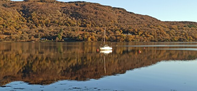
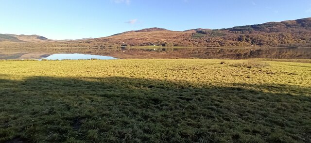
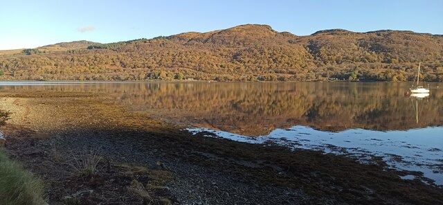
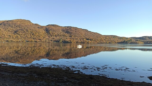
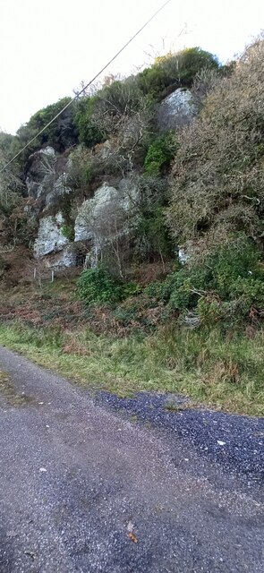
A' Chruach is a prominent hill located in Argyllshire, Scotland. Standing at an elevation of 512 meters (1,680 feet), it is classified as a Corbett, which denotes a Scottish hill between 2,500 and 3,000 feet in height. A' Chruach is situated in the southern part of the region, near the village of Blairmore, overlooking the picturesque Loch Long.
The hill offers breathtaking panoramic views of its surroundings, including the tranquil waters of Loch Long, the neighboring hills of Argyll Forest Park, and the distant peaks of the Trossachs National Park. Its prominent position makes it an excellent vantage point for nature enthusiasts and hikers.
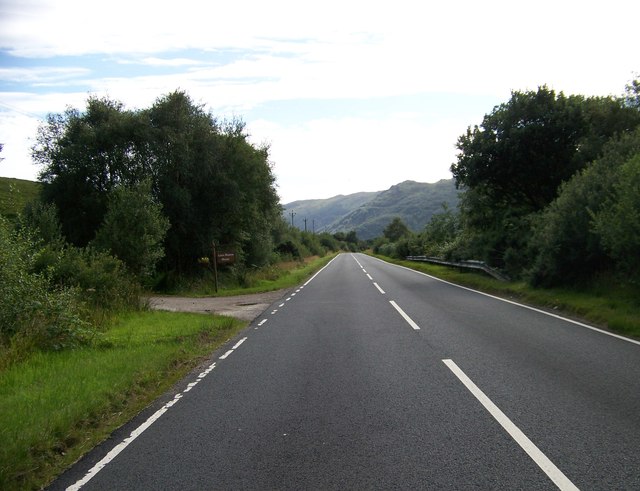
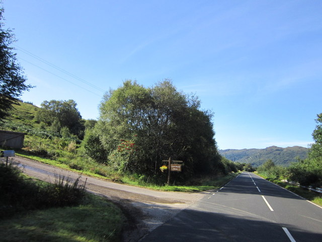
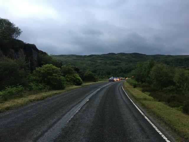
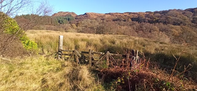
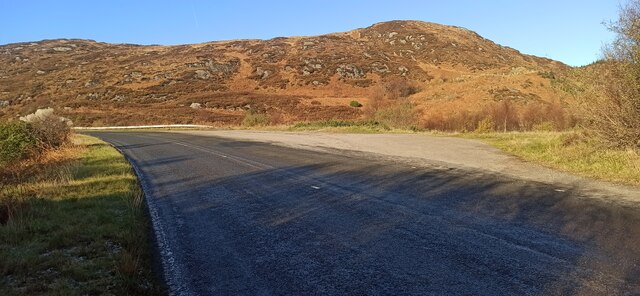
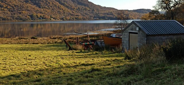
The ascent of A' Chruach typically begins from a car park near Blairmore, where a well-marked path guides visitors through a mixture of woodland and open moorland. The terrain can be challenging at times, with some steep sections, but the effort is rewarded by the stunning vistas that unfold along the way.
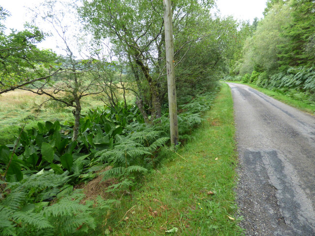
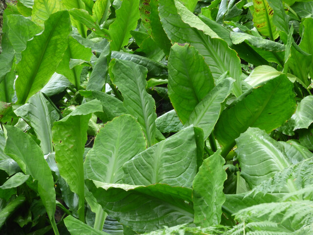
A' Chruach is home to a diverse range of flora and fauna, including heather, bilberry, and various species of birds such as buzzards and kestrels. The hill is also steeped in history, with remnants of ancient settlements and burial cairns scattered across its slopes.
Whether it be for the breathtaking views, the diverse wildlife, or the historical significance, A' Chruach presents an enticing destination for those seeking a scenic adventure in the heart of Argyllshire.
If you have any feedback on the listing, please let us know in the comments section below.
A' Chruach Images
Images are sourced within 2km of 55.956588/-5.1744983 or Grid Reference NS0178. Thanks to Geograph Open Source API. All images are credited.
A' Chruach is located at Grid Ref: NS0178 (Lat: 55.956588, Lng: -5.1744983)
Unitary Authority: Argyll and Bute
Police Authority: Argyll and West Dunbartonshire
What 3 Words
///jugs.encodes.minder. Near Port Bannatyne, Argyll & Bute
Nearby Locations
Related Wikis

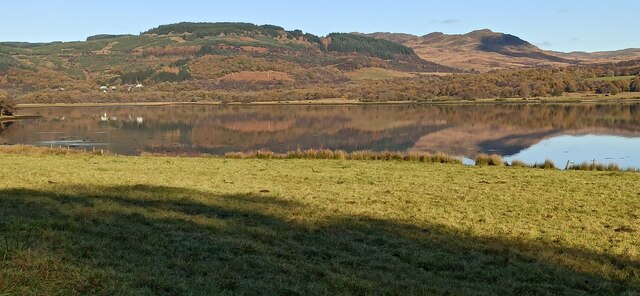
Loch Ruel
Loch Ruel or Loch Riddon; extends north from the Kyles of Bute and is a sea loch in Argyll and Bute, Scotland. == See also == River Ruel == References... ==
Eilean Dearg, Loch Ruel
Eilean Dearg is a small island in Loch Ruel (or Loch Riddon) in Argyll, Scotland. The island was once home to a castle, which was destroyed by naval action...

Eilean Dubh, Kyles of Bute
This particular Eilean Dubh (Scottish Gaelic: Black Island) is sometimes known as Glen Caladh Island and lies just off the Cowal peninsula in the Kyles...

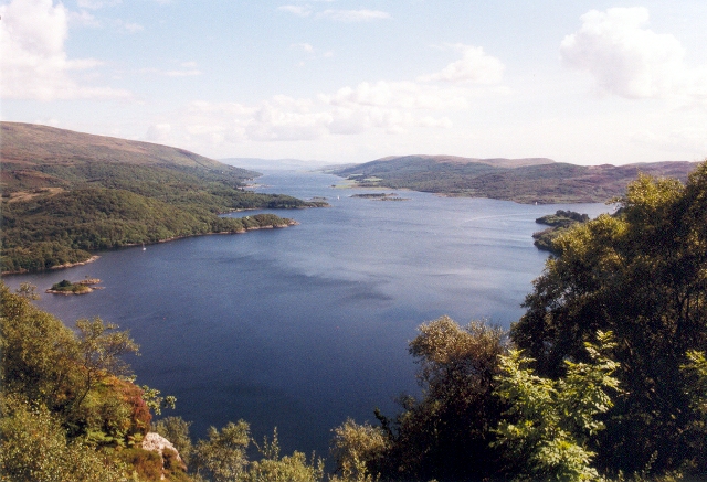
Kyles of Bute
The Kyles of Bute (Scottish Gaelic: Na Caoil Bhòdach) form a narrow sea channel that separates the northern end of the Isle of Bute from the Cowal peninsula...

Auchenbreck Castle
Auchenbreck Castle; (or Auchinbreck) is located in Argyll and Bute, Scotland. Its remains are situated in Kilmodan parish, near the mouth of Glendaruel...

Burnt Islands
The Burnt Islands (Scottish Gaelic: Na h-Eileanan Loisgte) are three small islands that lie in the Kyles of Bute, on the Cowal Peninsula, Argyll and Bute...

Colintraive
Colintraive (Scottish Gaelic: Caol an t-Snàimh) is a village in Argyll and Bute, Scotland. Once the site where cattle were swum across the narrows to the...
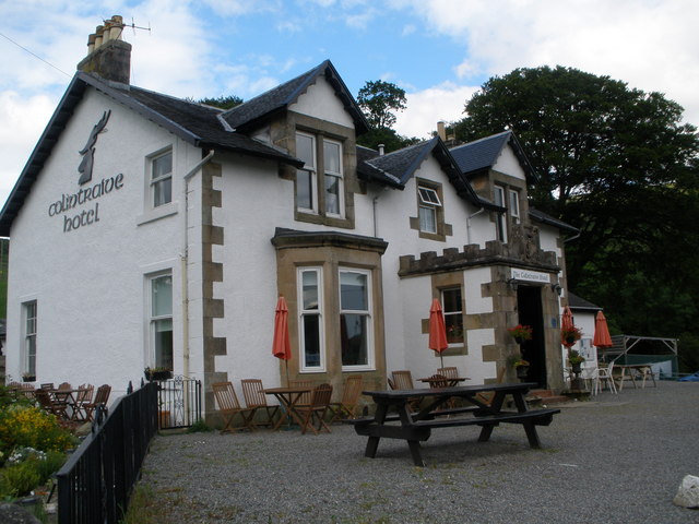
Colintraive Hotel
The Colintraive Hotel (also known as The Colintraive) is a hotel and pub in Colintraive, Argyll and Bute, Scotland. It was formerly a hunting lodge for...
Nearby Amenities
Located within 500m of 55.956588,-5.1744983Have you been to A' Chruach?
Leave your review of A' Chruach below (or comments, questions and feedback).