A' Chruach

Hill, Mountain in Inverness-shire

Scotland

A' Chruach

Trees and deer near the Inverie River At a bend in the river named as Poll Ailein (Allan's Pool) on old OS maps, see <span class="nowrap"><a title="https://scotlandsplaces.gov.uk/digital-volumes/ordnance-survey-name-books/inverness-shire-os-name-books-1876-1878/inverness-shire-mainland-volume-29/115?display=transcription" rel="nofollow ugc noopener" href="https://scotlandsplaces.gov.uk/digital-volumes/ordnance-survey-name-books/inverness-shire-os-name-books-1876-1878/inverness-shire-mainland-volume-29/115?display=transcription">Link</a><img style="margin-left:2px;" alt="External link" title="External link - shift click to open in new window" src="https://s1.geograph.org.uk/img/external.png" width="10" height="10"/></span>
Trees and deer near the Inverie River Credit: wrobison

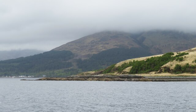
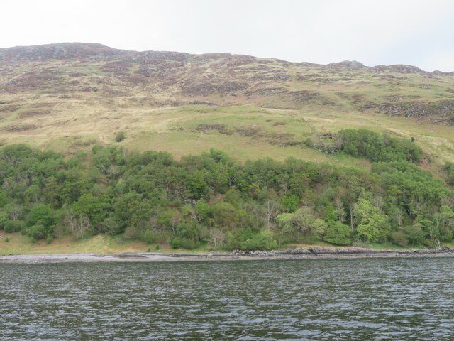
A' Chruach is a prominent hill located in the county of Inverness-shire, Scotland. With an elevation of approximately 762 meters (2,500 feet), it stands as an impressive landmark within the region. Situated in the western part of Inverness-shire, A' Chruach offers stunning panoramic views of the surrounding countryside and nearby mountain ranges.

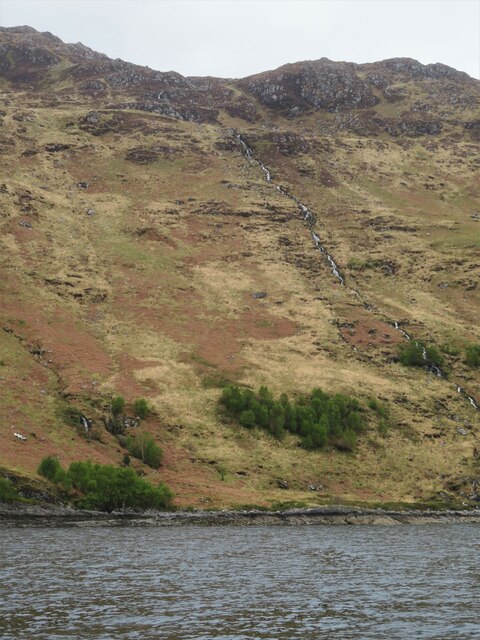
The hill is known for its distinctive conical peak, which can be seen from miles away. Its slopes are covered in heather and grass, providing habitats for various plant and animal species. A' Chruach attracts outdoor enthusiasts, hikers, and nature lovers who seek to explore its rugged terrain and experience its natural beauty.

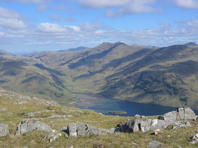
The summit of A' Chruach offers breathtaking vistas of the surrounding landscape, including Loch Garry to the north and Loch Quoich to the south. On clear days, it is even possible to see as far as the Isle of Skye and the Outer Hebrides.

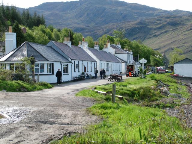
Accessing A' Chruach can be done through various walking routes, with the most popular starting from the nearby village of Invergarry. The ascent can be challenging, particularly in adverse weather conditions, so proper preparation and navigation skills are essential.

A' Chruach is a notable feature of Inverness-shire's outdoor recreational offerings, providing visitors with a chance to connect with nature, soak in breathtaking views, and experience the rugged beauty of the Scottish Highlands.

If you have any feedback on the listing, please let us know in the comments section below.

A' Chruach Images

Images are sourced within 2km of 57.017052/-5.6717575 or Grid Reference NM7797. Thanks to Geograph Open Source API. All images are credited.
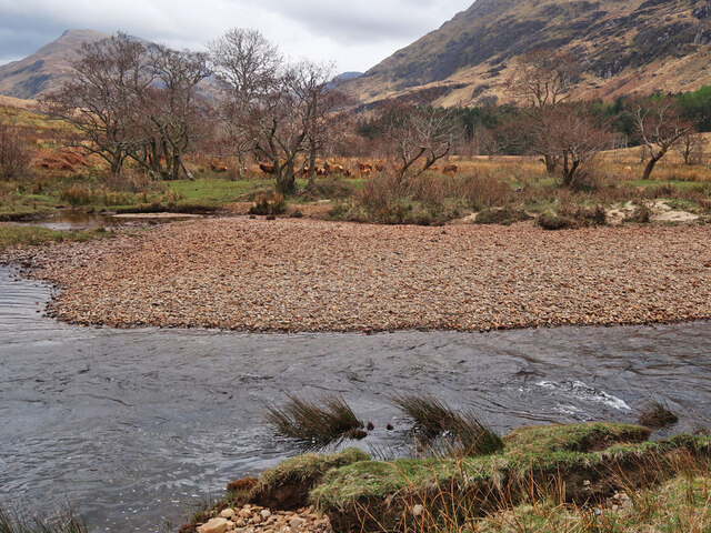
Trees and deer near the Inverie River At a bend in the river named as Poll Ailein (Allan's Pool) on old OS maps, see <span class="nowrap"><a title="https://scotlandsplaces.gov.uk/digital-volumes/ordnance-survey-name-books/inverness-shire-os-name-books-1876-1878/inverness-shire-mainland-volume-29/115?display=transcription" rel="nofollow ugc noopener" href="https://scotlandsplaces.gov.uk/digital-volumes/ordnance-survey-name-books/inverness-shire-os-name-books-1876-1878/inverness-shire-mainland-volume-29/115?display=transcription">Link</a><img style="margin-left:2px;" alt="External link" title="External link - shift click to open in new window" src="https://s1.geograph.org.uk/img/external.png" width="10" height="10"/></span>
Trees and deer near the Inverie River
At a bend in the river named as Poll Ailein (Allan's Pool) on old OS maps, see LinkExternal link
Kilchoan Burial Ground, Inverie The rectangular Roman Catholic burial ground is enclosed by a 19th-century wall and is on the site of a medieval church dedicated to St Comgan. The nearby circular Protestant burial ground is on the left. For more info, see <span class="nowrap"><a title="https://canmore.org.uk/site/22719/knoydart-inverie-st-comgans-church" rel="nofollow ugc noopener" href="https://canmore.org.uk/site/22719/knoydart-inverie-st-comgans-church">Link</a><img style="margin-left:2px;" alt="External link" title="External link - shift click to open in new window" src="https://s1.geograph.org.uk/img/external.png" width="10" height="10"/></span>
Kilchoan Burial Ground, Inverie
The rectangular Roman Catholic burial ground is enclosed by a 19th-century wall and is on the site of a medieval church dedicated to St Comgan. The nearby circular Protestant burial ground is on the left. For more info, see LinkExternal link
Mouth of the Inverie River Looking across the river towards A' Chruach. Taken at high tide, compare with <a href="https://www.geograph.org.uk/photo/6239594">NM7798 : Boats near the mouth of the Inverie River, Knoydart</a>.
Mouth of the Inverie River
Looking across the river towards A' Chruach. Taken at high tide, compare with NM7798 : Boats near the mouth of the Inverie River, Knoydart.
Steep slopes on Beinn Bhuidhe The new track on the left connects the hydro station near the Inverie River to the small dam at Loch Bhraomisaig and rises 300m in 1km.
Looking towards Inverie Bay.
Steep slopes on Beinn Bhuidhe
The new track on the left connects the hydro station near the Inverie River to the small dam at Loch Bhraomisaig and rises 300m in 1km. Looking towards Inverie Bay.
Dam at Loch Bhraomisaig The water source for the Knoydart Hydro generating station. The first hydro scheme was built in 1979 but it became unreliable and was switched off in 2001. After repairs and modernisations were made to the dam, pipeline and turbine, the scheme was switched on again on 5th November 2021,  see <span class="nowrap"><a title="https://knoydart.org/2021/11/05/the-historic-moment-after-years-of-work-we-switch-to-our-new-hydro-pipeline/" rel="nofollow ugc noopener" href="https://knoydart.org/2021/11/05/the-historic-moment-after-years-of-work-we-switch-to-our-new-hydro-pipeline/">Link</a><img style="margin-left:2px;" alt="External link" title="External link - shift click to open in new window" src="https://s1.geograph.org.uk/img/external.png" width="10" height="10"/></span>
Dam at Loch Bhraomisaig
The water source for the Knoydart Hydro generating station. The first hydro scheme was built in 1979 but it became unreliable and was switched off in 2001. After repairs and modernisations were made to the dam, pipeline and turbine, the scheme was switched on again on 5th November 2021, see LinkExternal link
Moorland above Loch Bhraomisaig on Beinn Bhuidhe
Inverie saw mill There's evidence of work within the sheds and barns here, but the tractor appears to have seen better days.
Inverie saw mill
There's evidence of work within the sheds and barns here, but the tractor appears to have seen better days.
Moss covered walls The track leading out of Inverie towards [eventually] everywhere else. Keep heading this way for a couple of days through remote mountains and over the Mam Barrisdale pass and you might eventually arrive, bedraggled and hungry at the road end at Kinloch Hourn.  The luxuriant vegetation here and moss covered stone walls are an indication of the high rainfall in this area.
Moss covered walls
The track leading out of Inverie towards [eventually] everywhere else. Keep heading this way for a couple of days through remote mountains and over the Mam Barrisdale pass and you might eventually arrive, bedraggled and hungry at the road end at Kinloch Hourn. The luxuriant vegetation here and moss covered stone walls are an indication of the high rainfall in this area.
Inverie camping ground A stretch of open and grassy shoreline, possibly breezy enough to deter midges, with this shelter as a focal point. There's a composting toilet nearby as well.
Inverie camping ground
A stretch of open and grassy shoreline, possibly breezy enough to deter midges, with this shelter as a focal point. There's a composting toilet nearby as well.
Inverie House The 'big house' at the centre of what was once Lord Brocket's estate. The house has various sections dating back to the 18th and 19th centuries. In 1940 it was requisitioned for the war effort and became a training centre for the Special Operations Executive [SOE]. I'm unsure about its current role.
Inverie House
The 'big house' at the centre of what was once Lord Brocket's estate. The house has various sections dating back to the 18th and 19th centuries. In 1940 it was requisitioned for the war effort and became a training centre for the Special Operations Executive [SOE]. I'm unsure about its current role.
Track to the outside world Inverie is a very isolated place, which despite being on the mainland has no road access to the rest of Scotland. This track appears to be accessible for 4WD vehicles as far as Loch an Dubh Lochan [a curious name], but beyond that is a rough path over the Mam Barrisdale pass, eventually reaching a road end at Kinloch Hourn.
Track to the outside world
Inverie is a very isolated place, which despite being on the mainland has no road access to the rest of Scotland. This track appears to be accessible for 4WD vehicles as far as Loch an Dubh Lochan [a curious name], but beyond that is a rough path over the Mam Barrisdale pass, eventually reaching a road end at Kinloch Hourn.
Upstream along the Inverie River On a clear day there would be a splendid view towards the mountains, but not on this occasion.
Upstream along the Inverie River
On a clear day there would be a splendid view towards the mountains, but not on this occasion.
Across the Inverie River Just a few metres upstream from where the river meets the sea. On the far side is part of the structure shown as a slipway on the OS map, whilst steep hill slopes beyond rise to 350m plus.
Across the Inverie River
Just a few metres upstream from where the river meets the sea. On the far side is part of the structure shown as a slipway on the OS map, whilst steep hill slopes beyond rise to 350m plus.
An Cnap Viewed from the ferry heading for Tarbet, An Cnap is a low headland part covered in scots pine.
An Cnap
Viewed from the ferry heading for Tarbet, An Cnap is a low headland part covered in scots pine.
Steep slopes above the Loch Nevis shore Part wooded and part rocky slopes that rise above the NE shoreline of Loch Nevis at this point.
Steep slopes above the Loch Nevis shore
Part wooded and part rocky slopes that rise above the NE shoreline of Loch Nevis at this point.
Creag an Eilein This rocky reef/islet is at the northern end of the grid square. Beyond, and shrouded in cloud, is the Corbett of Sgurr Coire Choinnichean.
Creag an Eilein
This rocky reef/islet is at the northern end of the grid square. Beyond, and shrouded in cloud, is the Corbett of Sgurr Coire Choinnichean.
A remote coastline A view from the Tarbet bound ferry, looking towards the eastern shoreline of Loch Nevis. No tracks or paths cross this area.
A remote coastline
A view from the Tarbet bound ferry, looking towards the eastern shoreline of Loch Nevis. No tracks or paths cross this area.
Allt Direach We were the only two passengers on the run from Inverie to Tarbet and the skipper was quite happy to hug the shore so that I could take photographs. This grid square has three small burns cascading down the hillside into the loch, and the most obvious one here is the burn that is the furthest south and is also named as Allt Direach.
Allt Direach
We were the only two passengers on the run from Inverie to Tarbet and the skipper was quite happy to hug the shore so that I could take photographs. This grid square has three small burns cascading down the hillside into the loch, and the most obvious one here is the burn that is the furthest south and is also named as Allt Direach.
Show me another place!

A' Chruach is located at Grid Ref: NM7797 (Lat: 57.017052, Lng: -5.6717575)

Unitary Authority: Highland

Police Authority: Highlands and Islands

What 3 Words

///likewise.skirting.burns. Near Armadale, Highland

Related Wikis

Inverie Bay

Inverie Bay is a coastal embayment, on a chord of 2.12 miles, on a 207° orientation, on the northwestern coast of the sea loch in Loch Nevis, and is next...

Loch Nevis

Loch Nevis (Scottish Gaelic: Loch Nibheis) is a sea loch in Lochaber on the west coast of Scotland. It runs inland from the Sound of Sleat, and is bounded...

Inverie

Inverie (; Scottish Gaelic: Inbhir Aoidh) is the main village on the Knoydart peninsula in the Scottish Highlands. It is located on the north side of Loch...

The Rough Bounds

The Rough Bounds (Scottish Gaelic: Na Garbh Chriochan), in the Scottish Highlands, is the area of West Inverness-shire bounded by Loch Hourn, Loch Shiel...

Beinn Bhuidhe (Knoydart)

Beinn Bhuidhe (855m) is a mountain in the Northwest Highlands of Scotland. It lies in a very remote area of Knoydart, Lochaber. Lying on the north side...

Tarbet, Loch Nevis

Tarbet (Scottish Gaelic: An Tairbeart or Tairbeart Loch Nibheis) is a place on the south shore of Loch Nevis in Scotland, about 6 miles (10 kilometres...

Knoydart

Knoydart (Scottish Gaelic: Cnòideart) is a peninsula in Lochaber, Highland, on the west coast of Scotland. Knoydart is sandwiched between Lochs Nevis...

Sandaig Bay

Sandaig Bay is a coastal embayment, on a chord of 2.04 kilometres (1 mile 471 yards), on a 194° orientation, located on the northwestern end of the sea...

Nearby Amenities

Located within 500m of 57.017052,-5.6717575
A' Chruach
Ele: 396
Natural: peak
Source: Scottish Popular Edition
Lat/Long: 57.016981/-5.6717469
Creag an Dochdair
Place: locality
Lat/Long: 57.0146608/-5.6699489
The data included in this document is from www.openstreetmap.org. The data is made available under ODbL.

Have you been to A' Chruach?

Leave your review of A' Chruach below (or comments, questions and feedback).