Cnoc a' Bharra Leathain
Hill, Mountain in Argyllshire
Scotland
Cnoc a' Bharra Leathain

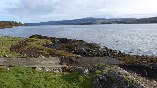
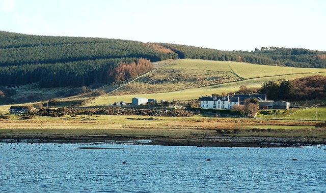
Cnoc a' Bharra Leathain, also known as Barr Leathain, is a prominent hill located in Argyllshire, Scotland. It is situated in the southern part of the region, near the town of Kilmelford. With an elevation of 488 meters (1,601 feet), it offers stunning panoramic views of the surrounding countryside, including the nearby Loch Melfort.
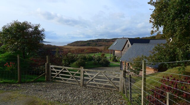
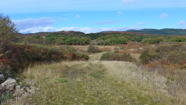
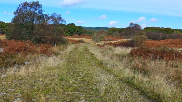
The hill is part of the beautiful and rugged landscape of western Scotland, characterized by rolling hills, deep valleys, and a mixture of heather moorland and scattered woodlands. Cnoc a' Bharra Leathain itself is covered in a patchwork of heather and grasses, providing a rich habitat for various plant and animal species.
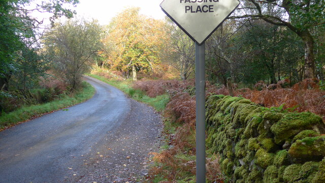
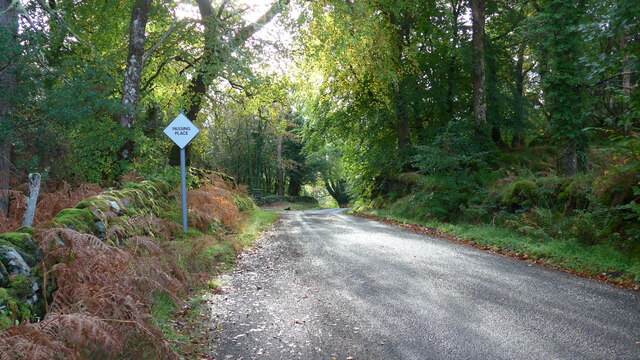
The hill is a popular destination for outdoor enthusiasts, offering opportunities for hiking, hillwalking, and nature photography. There are several well-marked trails that lead to the summit, providing different levels of difficulty for visitors of all abilities. Along the way, one can spot various bird species, including golden eagles, peregrine falcons, and red kites.
Reaching the summit of Cnoc a' Bharra Leathain rewards hikers with breathtaking views of the surrounding landscape. On clear days, one can see as far as the Isle of Mull and the Inner Hebrides. The hill also offers a glimpse into Scotland's rich history, with ancient ruins and burial cairns scattered across its slopes, dating back to the Bronze Age.
Overall, Cnoc a' Bharra Leathain is a picturesque and diverse hill in Argyllshire, offering visitors an opportunity to experience Scotland's natural beauty and connect with its rich cultural heritage.
If you have any feedback on the listing, please let us know in the comments section below.
Cnoc a' Bharra Leathain Images
Images are sourced within 2km of 55.799736/-5.556256 or Grid Reference NR7761. Thanks to Geograph Open Source API. All images are credited.


Cnoc a' Bharra Leathain is located at Grid Ref: NR7761 (Lat: 55.799736, Lng: -5.556256)
Unitary Authority: Argyll and Bute
Police Authority: Argyll and West Dunbartonshire
What 3 Words
///ventures.innocence.sifts. Near Tarbert, Argyll & Bute
Nearby Locations
Related Wikis

Kilcalmonell
The parish of Kilcalmonell is situated in Argyll and Bute, Scotland. It extends from Clachan, in Kintyre to Kilberry, in Knapdale. == References == W....

West Loch Tarbert, Argyll
West Loch Tarbert, Argyll is a long and narrow sea loch on the western side of the Kintyre peninsula in Scotland. == Geography == The head of the loch...

Ardpatrick, Argyll
Ardpatrick (Scottish Gaelic: Àird Phàdraig) is a village at the southwestern extremity of the Knapdale, Argyll, Scotland. The village is built along the...
Ardpatrick House
Ardpatrick House is a category-B-listed 18th-century country house in Ardpatrick, South Knapdale, Argyll and Bute, Scotland. == History == A fortified...
Loup House
Loup House is a manor house north of Clachan on the Kintyre peninsula of Argyll, Scotland. The estate was once home to the chiefs of Clan MacAlister, and...

Dùn a' Choin Duibh
Dùn a' Choin Duibh (Scottish Gaelic: Fort of the Black Dog) is a hillfort located near Torinturk, Argyll and Bute, Scotland. According to the local shanachies...

Whitehouse, Argyll
Whitehouse (Scottish Gaelic: An Taigh Bàn, pronounced [ən̪ˠ t̪ʰɤj ˈpaːn]) is a hamlet on the Kintyre peninsula of Argyll and Bute, Scotland. It is located...

Eilean Ceann na Creige
Eilean Ceann na Creige is a small island near Kennacraig in West Loch Tarbert in Scotland. Ceann na Creige is Gaelic for head of the rock.Eilean Ceann...
Nearby Amenities
Located within 500m of 55.799736,-5.556256Have you been to Cnoc a' Bharra Leathain?
Leave your review of Cnoc a' Bharra Leathain below (or comments, questions and feedback).