Sìthean a' Choire Odhair
Hill, Mountain in Inverness-shire
Scotland
Sìthean a' Choire Odhair

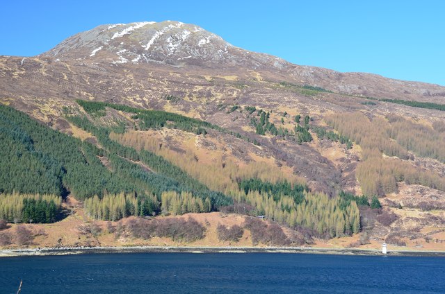
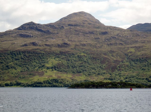
Sìthean a' Choire Odhair is a prominent hill located in Inverness-shire, Scotland. It is part of the Scottish Highlands and is situated near the village of Newtonmore. Standing at an elevation of 923 meters (3,028 feet), it offers breathtaking panoramic views of the surrounding landscape.
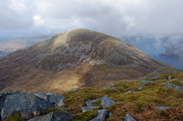
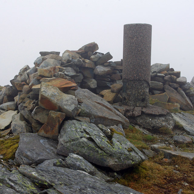
The hill is characterized by its rugged terrain, consisting of rocky outcrops and steep slopes. It is primarily composed of granite, which adds to its distinctive appearance. Sìthean a' Choire Odhair is renowned for its challenging hiking trails, attracting outdoor enthusiasts and adventure seekers from all over the world.
The hill is rich in biodiversity, with a variety of flora and fauna inhabiting its slopes. It is home to a number of bird species, including golden eagles and peregrine falcons, making it a popular spot for birdwatching. The lower reaches of the hill are covered in heather and grasses, while higher up, the vegetation becomes sparser, giving way to rocky scree slopes.
Sìthean a' Choire Odhair is also significant in terms of its cultural and historical value. It is believed to have been a place of ancient ritual and worship, with evidence of prehistoric settlements found in the surrounding area. The hill has also served as a source of inspiration for artists and writers throughout the years, with its majestic beauty captured in numerous paintings and poems.
Overall, Sìthean a' Choire Odhair is a captivating natural landmark that offers a challenging yet rewarding experience for outdoor enthusiasts, while also providing a glimpse into Scotland's rich history and natural beauty.
If you have any feedback on the listing, please let us know in the comments section below.
Sìthean a' Choire Odhair Images
Images are sourced within 2km of 57.251328/-5.6945091 or Grid Reference NG7723. Thanks to Geograph Open Source API. All images are credited.


Sìthean a' Choire Odhair is located at Grid Ref: NG7723 (Lat: 57.251328, Lng: -5.6945091)
Unitary Authority: Highland
Police Authority: Highlands and Islands
What 3 Words
///waxer.pokes.steroids. Near Kyleakin, Highland
Nearby Locations
Related Wikis
Beinn na Caillich (Kyle Rhea)
Beinn na Caillich (Scottish Gaelic for 'mountain of the old woman or Cailleach') is a mountain with a height of 732 metres (2,402 ft), overlooking Kyle...

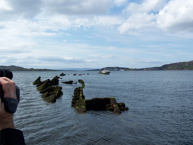
HMS Port Napier
HMS Port Napier was a British motor ship that was designed and laid down as a civilian cargo ship but completed in 1940 as an auxiliary minelayer for the...
Sgùrr na Coinnich
Sgùrr na Coinnich is the highest peak on the Sleat peninsula at the east end of the Isle of Skye. Together with its slightly lower neighbour, Beinn na...
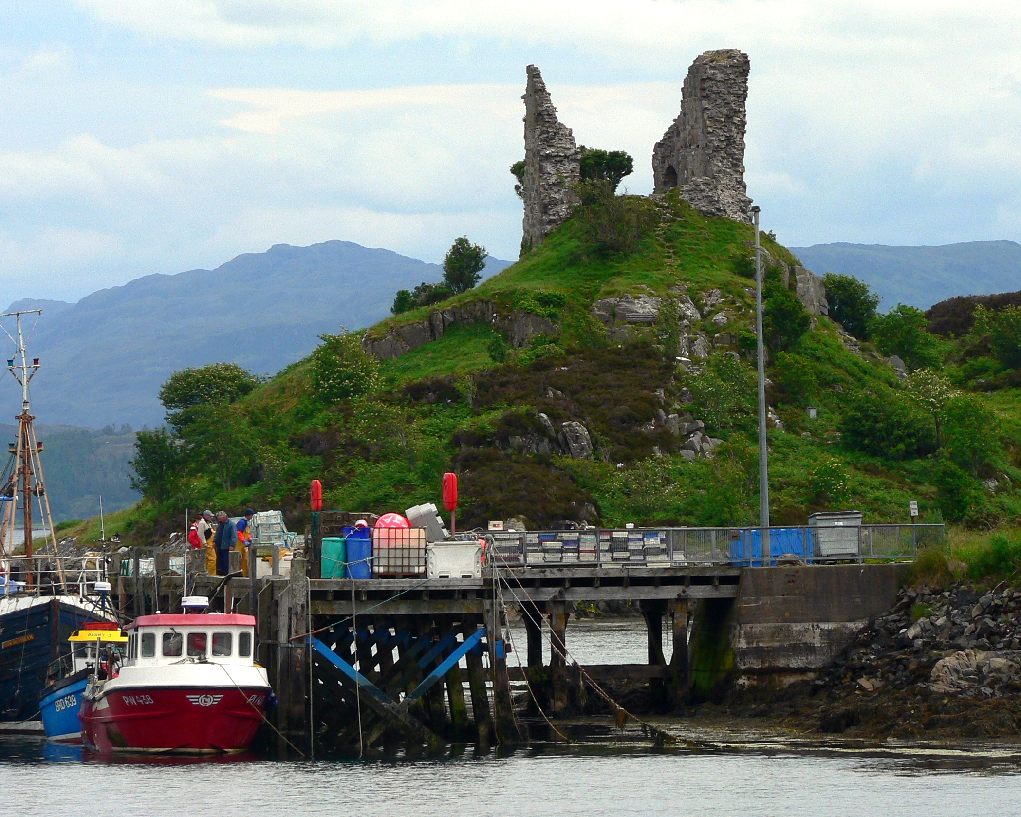
Caisteal Maol
Caisteal Maol (Gaelic: Caisteal, 'Castle', Maol, 'bare') is a ruined castle located near the harbour of the village of Kyleakin, Isle of Skye, Scotland...

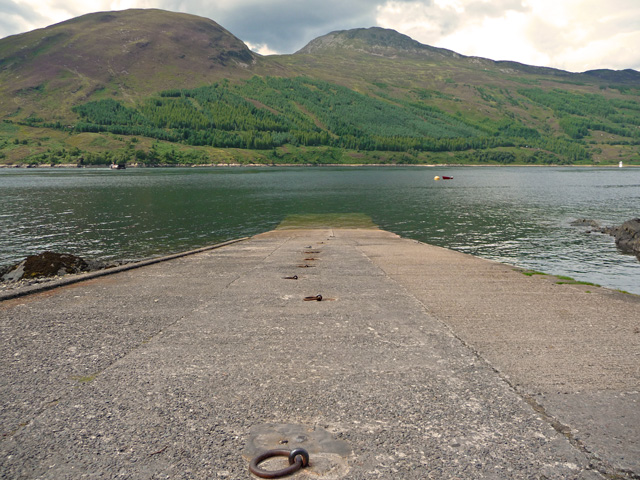
Loch Alsh
Loch Alsh (from the Scottish Gaelic Loch Aillse, "foaming lake") is a sea inlet between the isle of Skye in the Inner Hebrides and the Northwest Highlands...

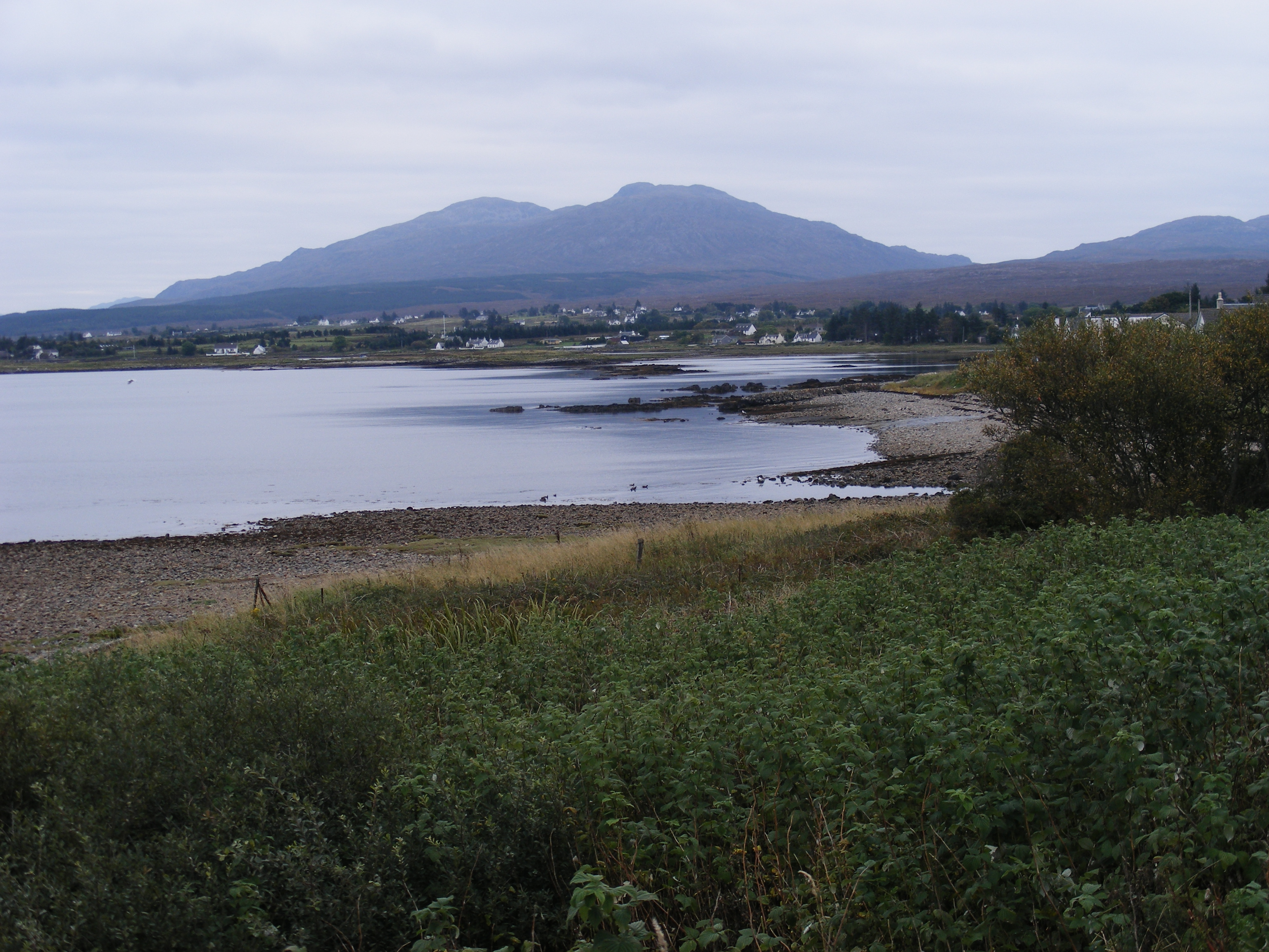
Kyleakin
Kyleakin (; Scottish Gaelic: Caol Àcain) is a village situated on the east coast of the Isle of Skye in the Inner Hebrides, Scotland. The village is along...

Kyle Rhea
Kyle Rhea is a strait of water in the Highland area of Scotland. It runs from the Inner Seas off the West Coast of Scotland in the southwest to Loch Alsh...
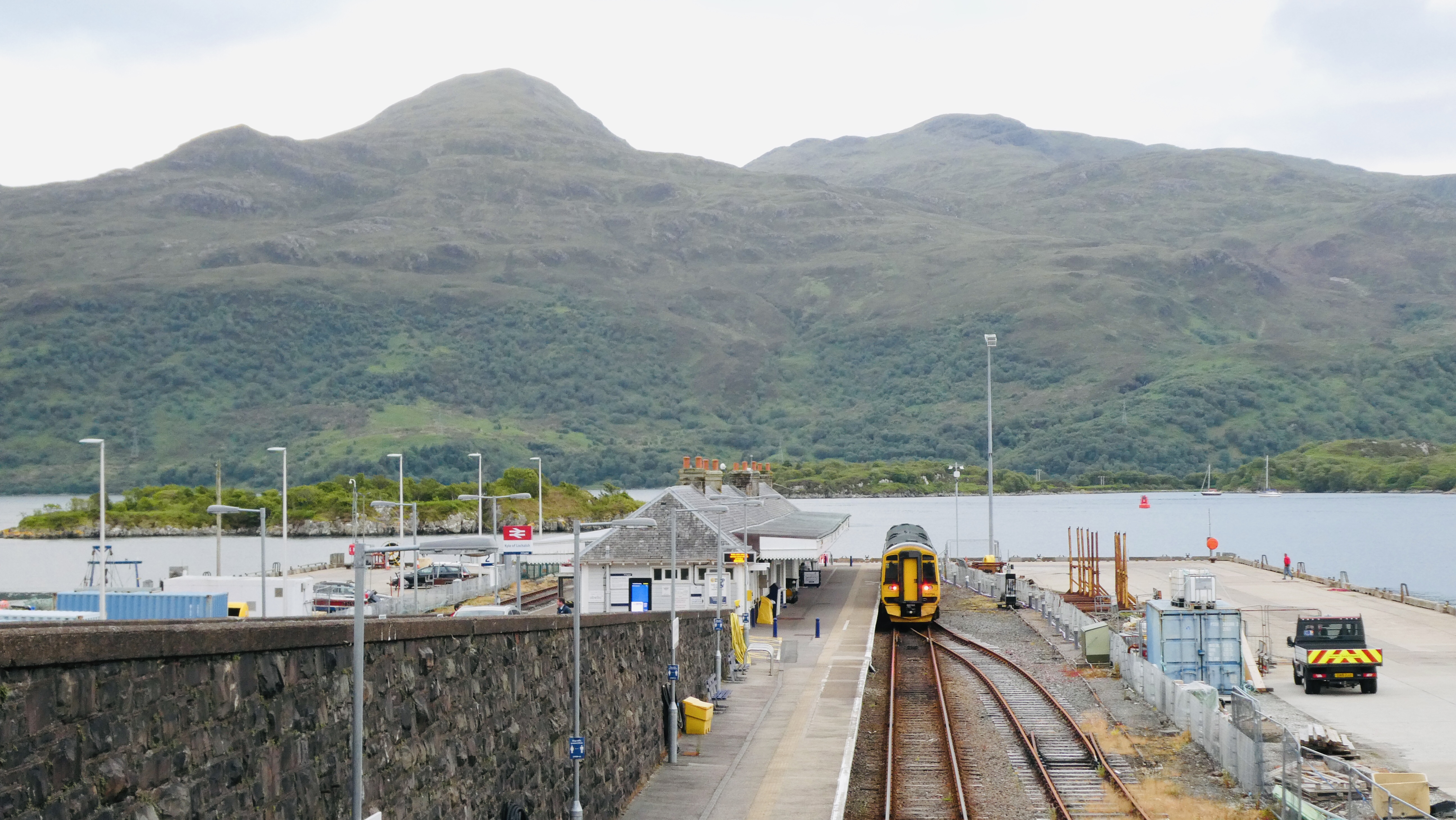
Kyle of Lochalsh railway station
Kyle of Lochalsh railway station is the terminus of the Kyle of Lochalsh Line in the village of Kyle of Lochalsh in the Highlands, northern Scotland. The...
Have you been to Sìthean a' Choire Odhair?
Leave your review of Sìthean a' Choire Odhair below (or comments, questions and feedback).