Hersden

Settlement in Kent Canterbury

England

Hersden

Pastureland
Pastureland Credit: N Chadwick

Hersden is a small village located in the county of Kent, in southeastern England. It is situated approximately 4 miles north of the historic city of Canterbury and around 60 miles east of London. The village is part of the civil parish of Sturry and falls within the administrative district of Canterbury.

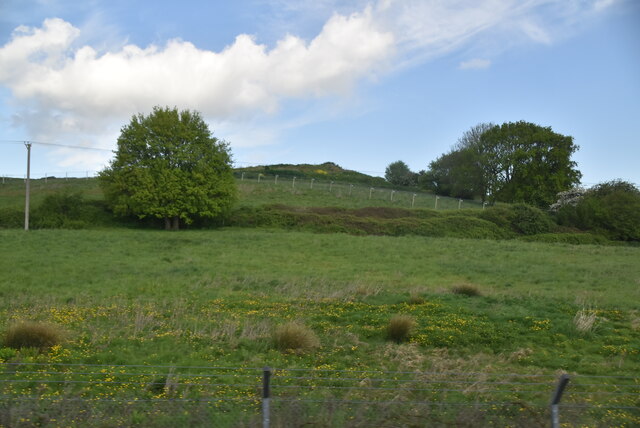
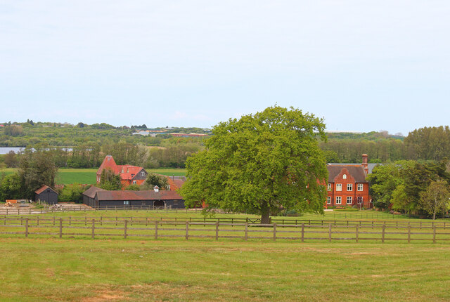
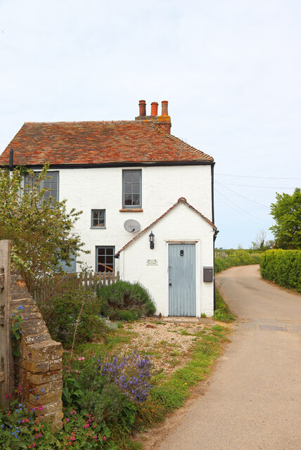
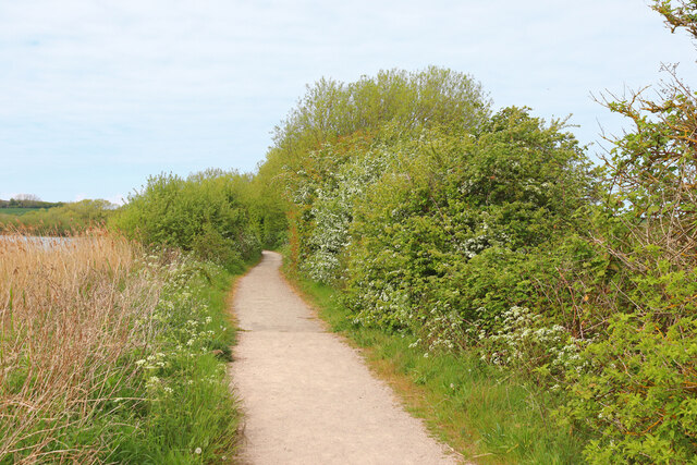
Hersden has a population of around 3,000 residents and is known for its peaceful and rural atmosphere. The village is surrounded by picturesque countryside, with fields, farmland, and meadows dominating the landscape. The River Stour flows nearby, adding to the charm of the area.

Despite its relatively small size, Hersden offers a range of amenities and services to its residents. These include a primary school, a village hall, a community center, a local convenience store, and a few small businesses. The village also has a pub, which serves as a social hub for locals and visitors alike.

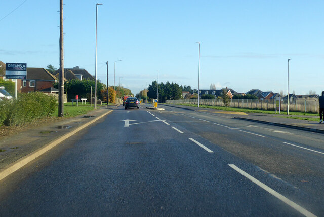
Transportation in Hersden is mainly reliant on private vehicles, as the village is not served by a train station. However, there are regular bus services connecting Hersden to neighboring towns and cities, providing access to wider transportation networks.

Hersden's proximity to Canterbury allows residents to easily access the city's cultural and historical attractions, as well as its shopping and entertainment facilities. Additionally, the village benefits from being close to the Kent coast, with popular seaside destinations such as Whitstable and Herne Bay just a short drive away.

If you have any feedback on the listing, please let us know in the comments section below.
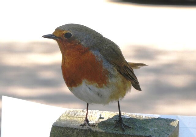
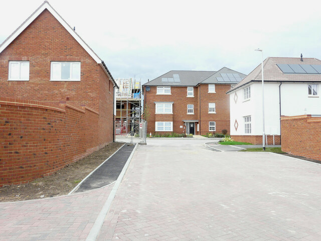
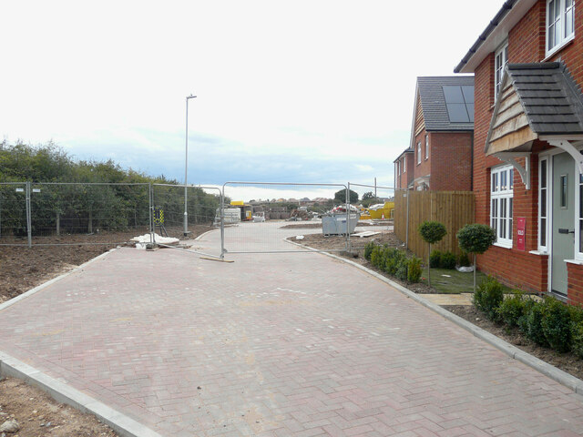
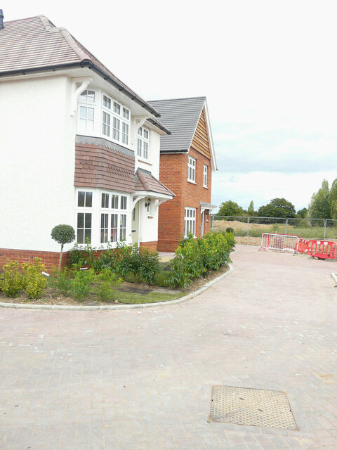
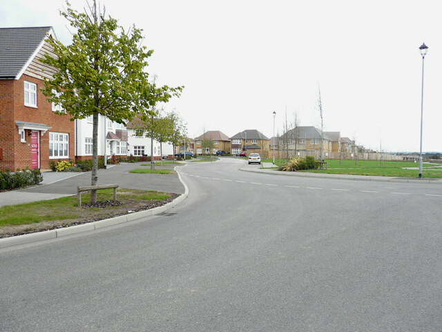
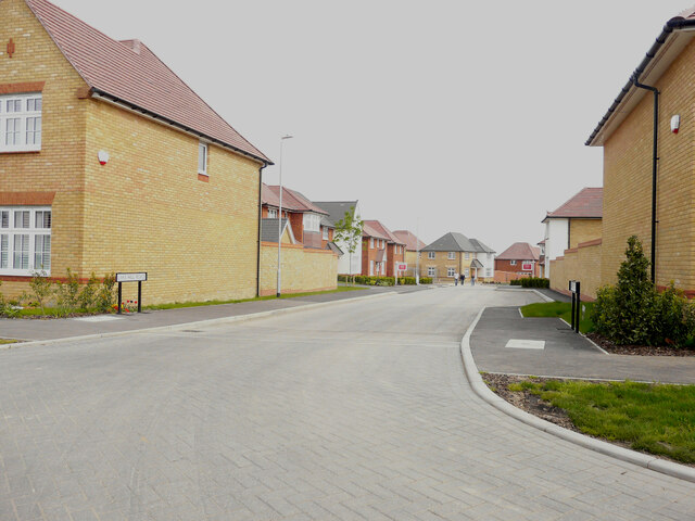
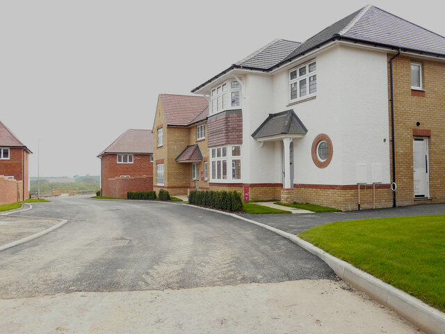
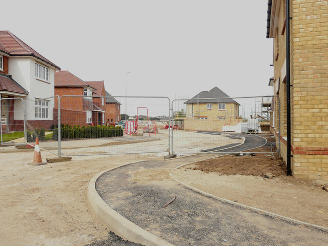
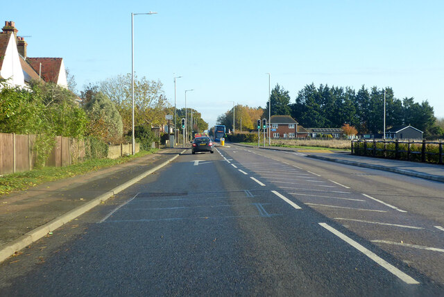
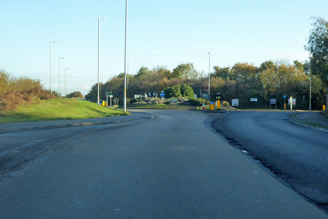
Hersden Images

Images are sourced within 2km of 51.314713/1.164193 or Grid Reference TR2062. Thanks to Geograph Open Source API. All images are credited.

Pastureland
Pastureland
Drainage channel
Drainage channel
Stodmarsh National Nature Reserve View from Reedbed Hide on the south side of the reserve.
Stodmarsh National Nature Reserve
View from Reedbed Hide on the south side of the reserve.
Stodmarsh National Nature Reserve Southern end of a lake in the reserve.
Stodmarsh National Nature Reserve
Southern end of a lake in the reserve.
Robin in the car park of Stodmarsh National Nature Reserve Robins and blue tits are fed by visitors and, therefore, become extremely tame. They appear so friendly but, of course, it's cupboard love.
Robin in the car park of Stodmarsh National Nature Reserve
Robins and blue tits are fed by visitors and, therefore, become extremely tame. They appear so friendly but, of course, it's cupboard love.
Black Horse Lane Part of a housing estate called The Hoplands for which planning permission has been granted by Canterbury City Council under application number CA//16/00404. 

An  “outline planning application for a neighbourhood extension for the creation of up to 250 houses including affordable housing, neighbourhood centre (comprising Class A1 food store (400sq.m), Class D1 medical centre (380sq.m), Class D1 dentist (150sq.m), Class A1 pharmacy (150sq.m), Class D1 nursery (120sq.m) and Class A1 convenience retail (360sq.m)), commercial estate (comprising Class B1 business floorspace (up to 5572sq.m), Class D1 apprenticeship centre (616sq.m) and Class D1/D2 community building (up to 672sq.m)), parish parkland and associated access, parking, amenity space and landscaping”.
Black Horse Lane
Part of a housing estate called The Hoplands for which planning permission has been granted by Canterbury City Council under application number CA//16/00404. An “outline planning application for a neighbourhood extension for the creation of up to 250 houses including affordable housing, neighbourhood centre (comprising Class A1 food store (400sq.m), Class D1 medical centre (380sq.m), Class D1 dentist (150sq.m), Class A1 pharmacy (150sq.m), Class D1 nursery (120sq.m) and Class A1 convenience retail (360sq.m)), commercial estate (comprising Class B1 business floorspace (up to 5572sq.m), Class D1 apprenticeship centre (616sq.m) and Class D1/D2 community building (up to 672sq.m)), parish parkland and associated access, parking, amenity space and landscaping”.
Black Horse Lane Part of a housing estate called The Hoplands for which planning permission has been granted by Canterbury City Council under application number CA//16/00404. An  “outline planning application for a neighbourhood extension for the creation of up to 250 houses including affordable housing, neighbourhood centre (comprising Class A1 food store (400sq.m), Class D1 medical centre (380sq.m), Class D1 dentist (150sq.m), Class A1 pharmacy (150sq.m), Class D1 nursery (120sq.m) and Class A1 convenience retail (360sq.m)), commercial estate (comprising Class B1 business floorspace (up to 5572sq.m), Class D1 apprenticeship centre (616sq.m) and Class D1/D2 community building (up to 672sq.m)), parish parkland and associated access, parking, amenity space and landscaping”.

The road is one of the furthest parts of this length of <a href="https://www.geograph.org.uk/photo/7309735">TR2061 : Black Horse Lane</a>.
Black Horse Lane
Part of a housing estate called The Hoplands for which planning permission has been granted by Canterbury City Council under application number CA//16/00404. An “outline planning application for a neighbourhood extension for the creation of up to 250 houses including affordable housing, neighbourhood centre (comprising Class A1 food store (400sq.m), Class D1 medical centre (380sq.m), Class D1 dentist (150sq.m), Class A1 pharmacy (150sq.m), Class D1 nursery (120sq.m) and Class A1 convenience retail (360sq.m)), commercial estate (comprising Class B1 business floorspace (up to 5572sq.m), Class D1 apprenticeship centre (616sq.m) and Class D1/D2 community building (up to 672sq.m)), parish parkland and associated access, parking, amenity space and landscaping”. The road is one of the furthest parts of this length of TR2061 : Black Horse Lane.
Longwall Lane Part of a housing estate called The Hoplands for which planning permission has been granted by Canterbury City Council under application number CA//16/00404. An  “outline planning application for a neighbourhood extension for the creation of up to 250 houses including affordable housing, neighbourhood centre (comprising Class A1 food store (400sq.m), Class D1 medical centre (380sq.m), Class D1 dentist (150sq.m), Class A1 pharmacy (150sq.m), Class D1 nursery (120sq.m) and Class A1 convenience retail (360sq.m)), commercial estate (comprising Class B1 business floorspace (up to 5572sq.m), Class D1 apprenticeship centre (616sq.m) and Class D1/D2 community building (up to 672sq.m)), parish parkland and associated access, parking, amenity space and landscaping”.

A similar view of <a href="https://www.geograph.org.uk/photo/6935546">TR2061 : Longwall Lane</a> was taken in July 2021.
Longwall Lane
Part of a housing estate called The Hoplands for which planning permission has been granted by Canterbury City Council under application number CA//16/00404. An “outline planning application for a neighbourhood extension for the creation of up to 250 houses including affordable housing, neighbourhood centre (comprising Class A1 food store (400sq.m), Class D1 medical centre (380sq.m), Class D1 dentist (150sq.m), Class A1 pharmacy (150sq.m), Class D1 nursery (120sq.m) and Class A1 convenience retail (360sq.m)), commercial estate (comprising Class B1 business floorspace (up to 5572sq.m), Class D1 apprenticeship centre (616sq.m) and Class D1/D2 community building (up to 672sq.m)), parish parkland and associated access, parking, amenity space and landscaping”. A similar view of TR2061 : Longwall Lane was taken in July 2021.
Lakehill Road Part of a housing estate called The Hoplands for which planning permission has been granted by Canterbury City Council under application number CA//16/00404.
Lakehill Road
Part of a housing estate called The Hoplands for which planning permission has been granted by Canterbury City Council under application number CA//16/00404.
Unnamed Road Part of a housing estate called The Hoplands for which planning permission has been granted by Canterbury City Council under application number CA//16/00404.
Unnamed Road
Part of a housing estate called The Hoplands for which planning permission has been granted by Canterbury City Council under application number CA//16/00404.
Stodmarsh Court Farm Farm near Stodmarsh.
Stodmarsh Court Farm
Farm near Stodmarsh.
Lambkin Wall House in Stodmarsh.
Lambkin Wall
House in Stodmarsh.
Lampen Wall Path in Stodmarsh Nature Reserve.
Lampen Wall
Path in Stodmarsh Nature Reserve.
A28 Island Road, Hersden Towards Margate.
A28 Island Road, Hersden
Towards Margate.
A28 Island Road, Hersden Towards Margate.
A28 Island Road, Hersden
Towards Margate.
Roundabout on A28 Serving industrial parks off to the right.
Roundabout on A28
Serving industrial parks off to the right.
Show me another place!

Hersden is located at Grid Ref: TR2062 (Lat: 51.314713, Lng: 1.164193)

Administrative County: Kent

District: Canterbury

Police Authority: Kent

What 3 Words

///flops.linen.recitals. Near Sturry, Kent

Related Wikis

Hersden

Hersden is a village east of Canterbury in Kent, South East England. It was established as a planned coalmining village in the 1920s and is on the A28...

Chislet Colliery Halt railway station

Chislet Colliery Halt was a minor station on the Ashford to Ramsgate line. It opened in September 1919 and closed in 1971. == History == Chislet Colliery...
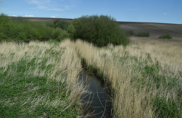
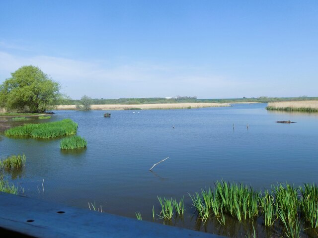
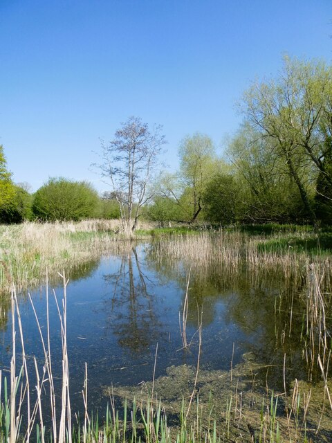
Stodmarsh SSSI

Stodmarsh SSSI is a 623.2-hectare (1,540-acre) biological Site of Special Scientific Interest near Stodmarsh, north-east of Canterbury in Kent. Parts of...

Frank Montgomery School

The Frank Montgomery School was a mixed-gender secondary modern school in the village of Sturry near Canterbury in east Kent. It was founded in 1935 and...

Nearby Amenities

Located within 500m of 51.314713,1.164193
Hersden
Is In: Kent, England, UK
Place: village
Source: survey
Wikidata: Q12059951
Lat/Long: 51.3147046/1.1601702
Post Box
Check Date: 2021-09-16
Collection Times: Mo-Fr 09:00; Sa 07:00
Operator: Royal Mail
Operator Wikidata: Q638098
Post Box Mounting: metal_post
Post Box Type: lamp
Postal Code: CT3
Ref: CT3 307
Royal Cypher: EIIR
Royal Cypher Wikidata: Q33102113
Source: survey
Lat/Long: 51.3137247/1.1591761
Post Office
The Avenue Stores
Addr City: Canterbury
Addr Postcode: CT3 4HL
Addr Street: The Avenue
Addr Village: Hersden
Fhrs Id: 1102113
Operator: Mace
Ref Pol Id: 736
Shop: convenience
Source Addr: FHRS Open Data;pol_branch_list_2018-01
Lat/Long: 51.3163336/1.1632716
Post Box
Collection Times: Mo-Fr 17:00; Sa 11:30
Operator: Royal Mail
Operator Wikidata: Q638098
Post Box Design: type_b
Post Box Type: pillar
Postal Code: CT3
Ref: CT3 66
Royal Cypher: GR
Royal Cypher Wikidata: Q33102273
Source: survey
Lat/Long: 51.3162916/1.1633708
Community Centre
Hersden Community Centre
Lat/Long: 51.3164933/1.1639718
Place Of Worship
St. Dunstans
Denomination: catholic
Phone: +44 1227 710236
Religion: christian
Lat/Long: 51.316535/1.1649248
Crossing
Crossing: traffic_signals
Crossing Island: no
Crossing Ref: toucan
Tactile Paving: yes
Lat/Long: 51.3148934/1.1637316
Bus Stop
East View
Bench: no
Bin: no
Flag: yes
Local Ref: adj
Naptan AtcoCode: 2400A040050A
Naptan Bearing: NE
Naptan BusStopType: MKD
Naptan CommonName: East View
Naptan Indicator: adj
Naptan Landmark: East View
Naptan NaptanCode: kntdptma
Naptan RevisionNumber: 2
Naptan Status: act
Naptan Street: Island Road
Naptan Verified: no
Public Transport: platform
Ref: kntdptma
Shelter: no
Source: naptan_import
Source Date: 2018-09-14
Lat/Long: 51.3155697/1.1659373
Bus Stop
Canterbury Industrial Park
Bench: no
Bin: no
Flag: yes
Local Ref: opp
Naptan AtcoCode: 2400A040060A
Naptan Bearing: NE
Naptan BusStopType: MKD
Naptan CommonName: Canterbury Industrial Park
Naptan Indicator: opp
Naptan Landmark: The Villas
Naptan NaptanCode: kntdptmd
Naptan RevisionNumber: 3
Naptan ShortCommonName: Industrial Park
Naptan Status: act
Naptan Street: Island Road
Naptan Verified: no
Public Transport: platform
Ref: kntdptmd
Shelter: no
Short Name: Industrial Park
Source: naptan_import
Source Date: 2018-09-14
Tactile Paving: no
Lat/Long: 51.3167718/1.1702768
Bus Stop
Canterbury Industrial Park
Bench: no
Bin: no
Local Ref: adj
Naptan AtcoCode: 2400A040150A
Naptan Bearing: SW
Naptan BusStopType: MKD
Naptan CommonName: Canterbury Industrial Park
Naptan Indicator: adj
Naptan Landmark: MOT Test Station
Naptan NaptanCode: kntdptpj
Naptan RevisionNumber: 3
Naptan ShortCommonName: Industrial Park
Naptan Status: act
Naptan Street: Island Road
Naptan Verified: yes
Public Transport: platform
Ref: kntdptpj
Shelter: no
Short Name: Industrial Park
Source: naptan_import
Source Date: 2018-09-14
Tactile Paving: no
Lat/Long: 51.3163425/1.1690873
Bus Stop
East View
Bench: yes
Bin: yes
Local Ref: opp
Naptan AtcoCode: 2400A040160A
Naptan Bearing: SW
Naptan BusStopType: MKD
Naptan CommonName: East View
Naptan Indicator: opp
Naptan Landmark: The Poplars
Naptan NaptanCode: kntdptpm
Naptan RevisionNumber: 2
Naptan Status: act
Naptan Street: Island Road
Naptan Verified: yes
Public Transport: platform
Ref: kntdptpm
Shelter: yes
Source: naptan_import
Source Date: 2018-09-14
Tactile Paving: no
Lat/Long: 51.3151596/1.1648721
Bus Stop
The Sycamores
Bench: no
Bin: no
Flag: yes
Local Ref: adj
Naptan AtcoCode: 2400A040170A
Naptan Bearing: NE
Naptan BusStopType: MKD
Naptan CommonName: The Sycamores
Naptan Indicator: adj
Naptan Landmark: The Sycamores
Naptan NaptanCode: kntdptpt
Naptan RevisionNumber: 2
Naptan Status: act
Naptan Street: Island Road
Naptan Verified: no
Public Transport: platform
Ref: kntdptpt
Shelter: no
Source: naptan_import
Source Date: 2018-09-14
Lat/Long: 51.3141227/1.1608671
Bus Stop
The Sycamores
Bench: yes
Bin: no
Local Ref: opp
Naptan AtcoCode: 2400A040180A
Naptan Bearing: SW
Naptan BusStopType: MKD
Naptan CommonName: The Sycamores
Naptan Indicator: opp
Naptan Landmark: The Sycamores
Naptan NaptanCode: kntdptpw
Naptan RevisionNumber: 3
Naptan Status: act
Naptan Street: Island Road
Naptan Verified: yes
Public Transport: platform
Ref: kntdptpw
Shelter: yes
Source: naptan_import
Source Date: 2018-09-14
Lat/Long: 51.3137365/1.1598731
Generator Method: photovoltaic
Generator Source: solar
Generator Type: solar_photovoltaic_panel
Location: roof
Power: generator
Lat/Long: 51.3161831/1.1660743
Generator Method: photovoltaic
Generator Source: solar
Generator Type: solar_photovoltaic_panel
Location: roof
Power: generator
Lat/Long: 51.3143524/1.158835
Doctors
Healthcare: doctor
Lat/Long: 51.3159992/1.1609392
Shop: convenience
Lat/Long: 51.3162999/1.1632912
Generator Method: photovoltaic
Generator Orientation: 246
Generator Output Electricity: yes
Generator Solar Modules: 16
Generator Source: solar
Generator Type: solar_photovoltaic_panel
Location: roof
Power: generator
Lat/Long: 51.3151009/1.1657269
Generator Method: photovoltaic
Generator Orientation: 154
Generator Output Electricity: yes
Generator Solar Modules: 12
Generator Source: solar
Generator Type: solar_photovoltaic_panel
Location: roof
Power: generator
Lat/Long: 51.314847/1.1657886
Generator Output Electricity: yes
Generator Source: solar
Generator Type: solar_photovoltaic_panel
Location: roof
Power: generator
Lat/Long: 51.3143398/1.1583106
Generator Output Electricity: yes
Generator Solar Modules: 6
Generator Source: solar
Generator Type: solar_photovoltaic_panel
Location: roof
Power: generator
Lat/Long: 51.3143163/1.1583777
Generator Output Electricity: yes
Generator Source: solar
Generator Type: solar_photovoltaic_panel
Location: roof
Power: generator
Lat/Long: 51.3141956/1.1620724
Generator Output Electricity: yes
Generator Source: solar
Generator Type: solar_photovoltaic_panel
Location: roof
Power: generator
Lat/Long: 51.3148889/1.1630675
Generator Output Electricity: yes
Generator Solar Modules: 10
Generator Source: solar
Generator Type: solar_photovoltaic_panel
Location: roof
Power: generator
Lat/Long: 51.315821/1.1664122
Generator Output Electricity: yes
Generator Solar Modules: 6
Generator Source: solar
Generator Type: solar_photovoltaic_panel
Location: roof
Power: generator
Lat/Long: 51.3165771/1.1643657
Barrier: bollard
Lat/Long: 51.3128026/1.1578047
Generator Output Electricity: yes
Generator Source: solar
Generator Type: solar_photovoltaic_panel
Location: roof
Power: generator
Lat/Long: 51.3134957/1.1635852
Generator Output Electricity: yes
Generator Source: solar
Generator Type: solar_photovoltaic_panel
Location: roof
Power: generator
Lat/Long: 51.3136575/1.1634631
Generator Output Electricity: yes
Generator Source: solar
Generator Type: solar_photovoltaic_panel
Location: roof
Power: generator
Lat/Long: 51.3137489/1.1637206
Generator Output Electricity: yes
Generator Source: solar
Generator Type: solar_photovoltaic_panel
Location: roof
Power: generator
Lat/Long: 51.3139257/1.1633894
Generator Output Electricity: yes
Generator Source: solar
Generator Type: solar_photovoltaic_panel
Location: roof
Power: generator
Lat/Long: 51.3139157/1.1634618
Generator Output Electricity: yes
Generator Source: solar
Generator Type: solar_photovoltaic_panel
Location: roof
Power: generator
Lat/Long: 51.3139241/1.1635986
Generator Output Electricity: yes
Generator Source: solar
Generator Type: solar_photovoltaic_panel
Location: roof
Power: generator
Lat/Long: 51.3141068/1.1635087
Generator Output Electricity: yes
Generator Source: solar
Generator Type: solar_photovoltaic_panel
Location: roof
Power: generator
Lat/Long: 51.3141152/1.1634484
Generator Output Electricity: yes
Generator Source: solar
Generator Type: solar_photovoltaic_panel
Location: roof
Power: generator
Lat/Long: 51.3141697/1.1634068
Generator Output Electricity: yes
Generator Source: solar
Generator Type: solar_photovoltaic_panel
Location: roof
Power: generator
Lat/Long: 51.3142828/1.1629884
Generator Output Electricity: yes
Generator Source: solar
Generator Type: solar_photovoltaic_panel
Location: roof
Power: generator
Lat/Long: 51.3143667/1.1630326
The data included in this document is from www.openstreetmap.org. The data is made available under ODbL.

Have you been to Hersden?

Leave your review of Hersden below (or comments, questions and feedback).