Herrington
Settlement in Durham
England
Herrington

Herrington is a small village located in County Durham, in the northeast of England. Situated approximately 6 miles south of Sunderland, the village is surrounded by picturesque countryside and offers a peaceful and idyllic setting for its residents.
Historically, Herrington was an agricultural community, with farming being the primary source of income for its inhabitants. However, in recent years, the village has experienced some development and urbanization, attracting new residents looking for a quieter lifestyle within easy reach of the nearby city.
One of the notable features of Herrington is the Herrington Country Park, a large open space that spans over 100 acres. The park offers a range of recreational activities for locals and visitors alike, including walking trails, cycling routes, and picnic areas. It is also home to a large lake, which is popular for fishing and water sports.
In terms of amenities, Herrington has a small number of shops and services, including a convenience store, a post office, and a pub. For more extensive shopping needs, residents can easily access the nearby cities of Sunderland and Durham, where a wider range of retail options can be found.
Overall, Herrington provides a peaceful and scenic living environment, with its rural charm and close proximity to larger towns and cities making it an attractive place to reside for those seeking a balanced lifestyle.
If you have any feedback on the listing, please let us know in the comments section below.
Herrington Images
Images are sourced within 2km of 54.861568/-1.4562719 or Grid Reference NZ3552. Thanks to Geograph Open Source API. All images are credited.


Herrington is located at Grid Ref: NZ3552 (Lat: 54.861568, Lng: -1.4562719)
Unitary Authority: Sunderland
Police Authority: Northumbria
What 3 Words
///outer.voter.career. Near Houghton-Le-Spring, Co. Durham
Nearby Locations
Related Wikis

Houghton and Washington East (UK Parliament constituency)
Houghton and Washington East was, from 1997 until 2010, a constituency represented in the House of Commons of the Parliament of the United Kingdom. It...

Houghton and Sunderland South (UK Parliament constituency)
Houghton and Sunderland South () is a constituency represented in the House of Commons of the UK Parliament since its creation in 2010 by Bridget Phillipson...

Herrington
Herrington is an area in the south of Sunderland, lying within historic County Durham in North East England. The Herringtons are split into East & Middle...

Doxford International Business Park
Doxford International is a 125-acre (51 ha) business park located at the A19 / A690 interchange on the outskirts of Sunderland, in the North East of England...

1815 Philadelphia train accident
The 1815 Philadelphia train accident occurred on 31 July 1815, in Philadelphia, County Durham, England, when an early experimental railway locomotive,...

Newbottle, Tyne and Wear
"Newbottle" is a "village" in the City of Sunderland in Tyne and Wear, England. The village is "situated" between Durham 8 miles (13 km) and Sunderland...
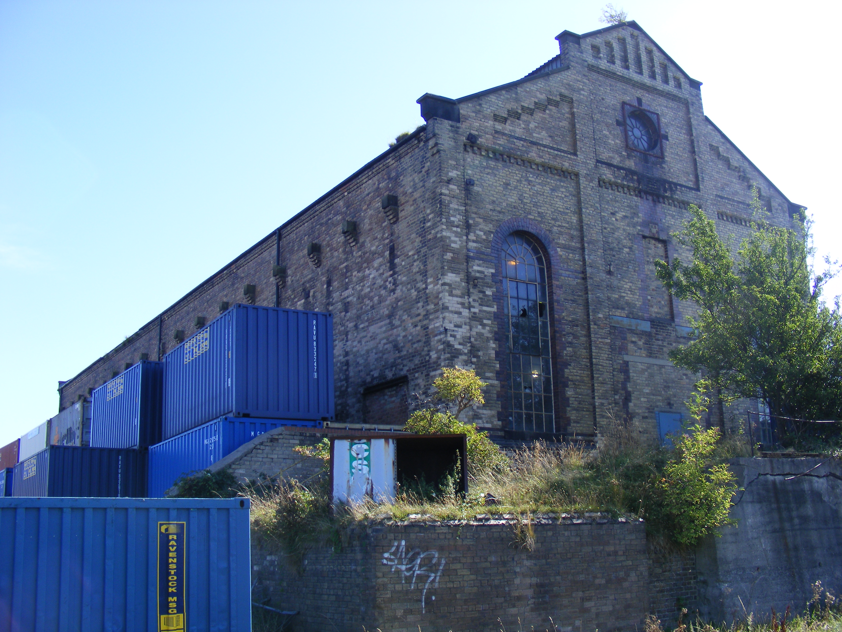
Philadelphia Power Station
Philadelphia Power Station is a defunct coal-fired power station situated between the villages of Philadelphia and Newbottle, 1.5 mi (2.4 km) north of...
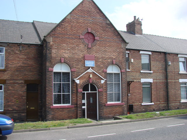
Philadelphia, Tyne and Wear
Philadelphia is a village in the City of Sunderland, England. It lies on the A182 road between Newbottle and Shiney Row. == History == Unlike nearby Washington...
Related Videos
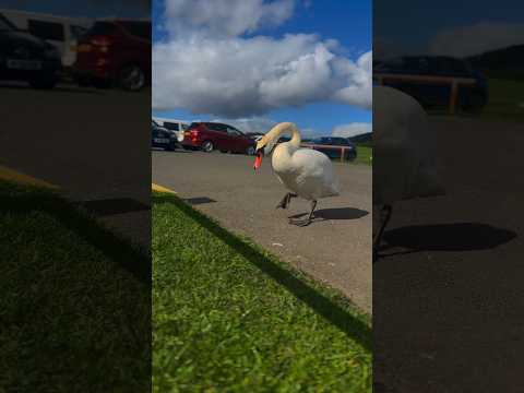
🫠അന്നനട കണ്ടിട്ടുണ്ടോ..?? ✨Watching a swan is like watching a dancer, graceful and elegant✨
swan #nature #birds #swans #naturephotography #wildlife #bird #swansofinstagram #photography #love #lake #swanlake ...

Penshaw monument from Herrington country park
Sunset from Herrington country park facing Penshaw Monument.

❤️ Another day, another sunset❤️ #kalyani #shorts
naturevideo #nature #naturephotography #naturelovers #video #naturevideos #naturelover #sky #wildlife #landscape #love ...
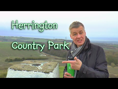
Herrington Country Park - Dr Renwick enjoys some great views & wildlife in his 4th 'Let's Walk' vid.
Follow me through and around Herrington County Park, passing LOTS of wildfowl, walking through icy puddles, ascending to a ...
Nearby Amenities
Located within 500m of 54.861568,-1.4562719Have you been to Herrington?
Leave your review of Herrington below (or comments, questions and feedback).