Park Rough

Wood, Forest in Kent Canterbury

England

Park Rough

Pastureland
Pastureland Credit: N Chadwick

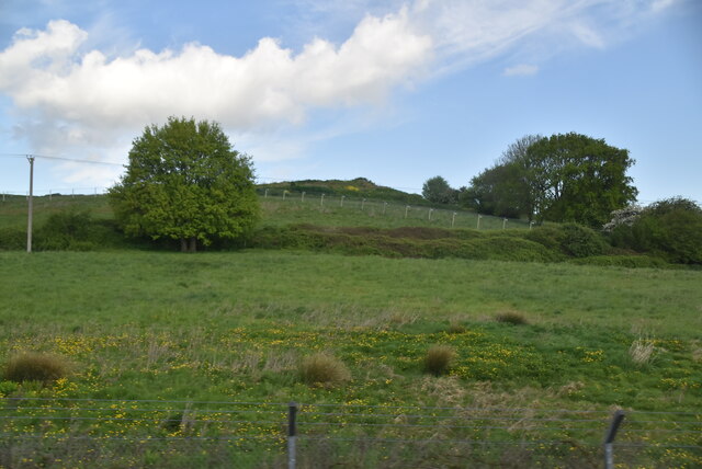
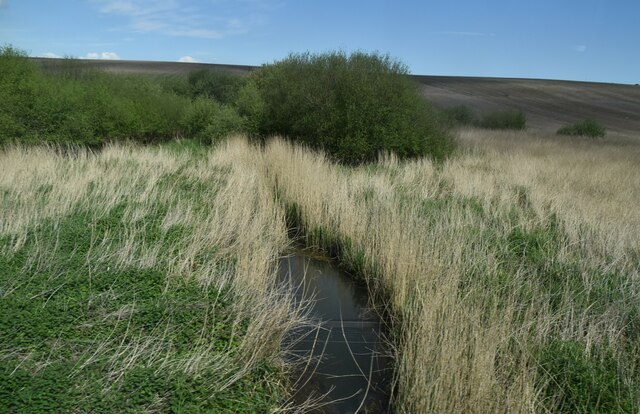
Park Rough, located in Kent, is a charming woodland area known for its natural beauty and diverse wildlife. Covering a vast expanse of land, this forest is a haven for nature enthusiasts and outdoor adventurers alike.

The woodland is predominantly composed of a mixture of deciduous and evergreen trees, creating a picturesque landscape that changes with the seasons. Towering oak and beech trees provide a dense canopy, offering shade and shelter to the variety of flora and fauna that call Park Rough their home.

The forest boasts an extensive network of well-maintained trails, making it an ideal destination for hikers and walkers. These paths meander through the woods, offering breathtaking views of the surrounding countryside and allowing visitors to immerse themselves in the tranquility of nature. Along the way, one can encounter a wide range of wildlife, including deer, squirrels, and a plethora of bird species.

Park Rough is also well-known for its rich biodiversity. The forest supports a diverse range of plant life, with various wildflowers, ferns, and mosses thriving in the damp and shaded areas. The forest floor is carpeted with a vibrant tapestry of bluebells in the spring, creating a stunning spectacle for visitors.

The forest is accessible to the public year-round, attracting visitors from near and far. Whether one seeks a peaceful escape from the bustling city or an opportunity to reconnect with nature, Park Rough in Kent provides an idyllic setting for outdoor exploration and appreciation of the natural world.

If you have any feedback on the listing, please let us know in the comments section below.
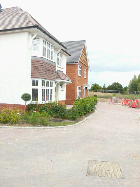
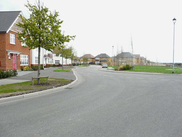
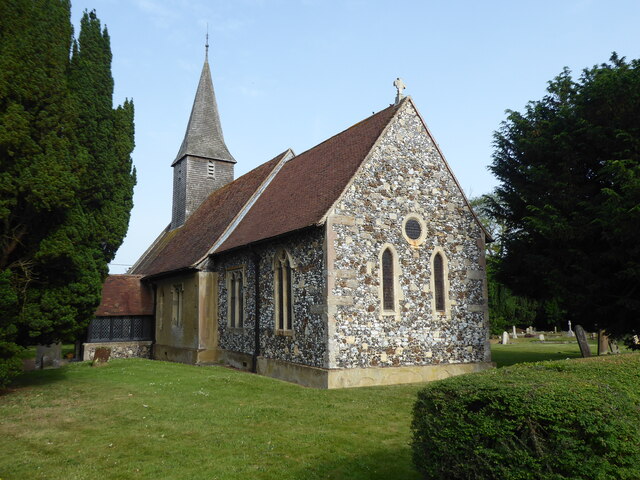
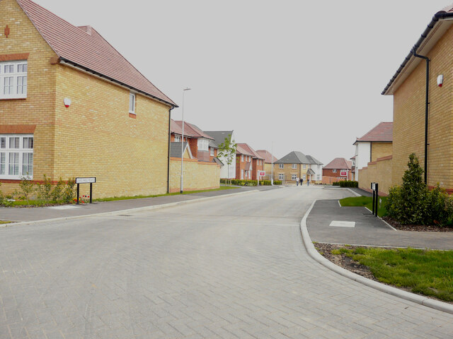
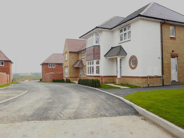
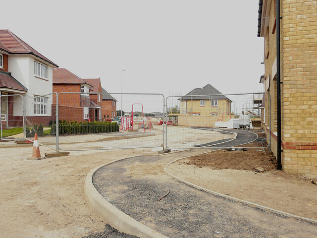
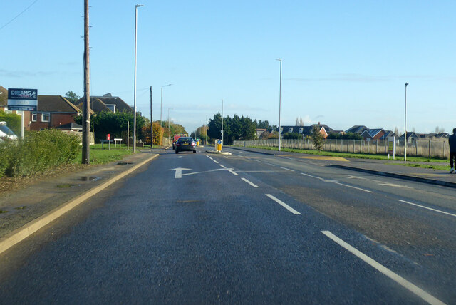
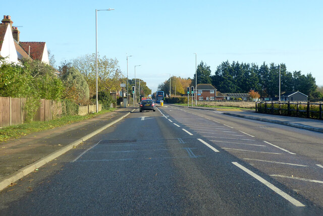
Park Rough Images

Images are sourced within 2km of 51.322292/1.1618821 or Grid Reference TR2062. Thanks to Geograph Open Source API. All images are credited.

Pastureland
Pastureland
Drainage channel
Drainage channel
Black Horse Lane Part of a housing estate called The Hoplands for which planning permission has been granted by Canterbury City Council under application number CA//16/00404. 

An  “outline planning application for a neighbourhood extension for the creation of up to 250 houses including affordable housing, neighbourhood centre (comprising Class A1 food store (400sq.m), Class D1 medical centre (380sq.m), Class D1 dentist (150sq.m), Class A1 pharmacy (150sq.m), Class D1 nursery (120sq.m) and Class A1 convenience retail (360sq.m)), commercial estate (comprising Class B1 business floorspace (up to 5572sq.m), Class D1 apprenticeship centre (616sq.m) and Class D1/D2 community building (up to 672sq.m)), parish parkland and associated access, parking, amenity space and landscaping”.
Black Horse Lane
Part of a housing estate called The Hoplands for which planning permission has been granted by Canterbury City Council under application number CA//16/00404. An “outline planning application for a neighbourhood extension for the creation of up to 250 houses including affordable housing, neighbourhood centre (comprising Class A1 food store (400sq.m), Class D1 medical centre (380sq.m), Class D1 dentist (150sq.m), Class A1 pharmacy (150sq.m), Class D1 nursery (120sq.m) and Class A1 convenience retail (360sq.m)), commercial estate (comprising Class B1 business floorspace (up to 5572sq.m), Class D1 apprenticeship centre (616sq.m) and Class D1/D2 community building (up to 672sq.m)), parish parkland and associated access, parking, amenity space and landscaping”.
Black Horse Lane Part of a housing estate called The Hoplands for which planning permission has been granted by Canterbury City Council under application number CA//16/00404. An  “outline planning application for a neighbourhood extension for the creation of up to 250 houses including affordable housing, neighbourhood centre (comprising Class A1 food store (400sq.m), Class D1 medical centre (380sq.m), Class D1 dentist (150sq.m), Class A1 pharmacy (150sq.m), Class D1 nursery (120sq.m) and Class A1 convenience retail (360sq.m)), commercial estate (comprising Class B1 business floorspace (up to 5572sq.m), Class D1 apprenticeship centre (616sq.m) and Class D1/D2 community building (up to 672sq.m)), parish parkland and associated access, parking, amenity space and landscaping”.

The road is one of the furthest parts of this length of <a href="https://www.geograph.org.uk/photo/7309735">TR2061 : Black Horse Lane</a>.
Black Horse Lane
Part of a housing estate called The Hoplands for which planning permission has been granted by Canterbury City Council under application number CA//16/00404. An “outline planning application for a neighbourhood extension for the creation of up to 250 houses including affordable housing, neighbourhood centre (comprising Class A1 food store (400sq.m), Class D1 medical centre (380sq.m), Class D1 dentist (150sq.m), Class A1 pharmacy (150sq.m), Class D1 nursery (120sq.m) and Class A1 convenience retail (360sq.m)), commercial estate (comprising Class B1 business floorspace (up to 5572sq.m), Class D1 apprenticeship centre (616sq.m) and Class D1/D2 community building (up to 672sq.m)), parish parkland and associated access, parking, amenity space and landscaping”. The road is one of the furthest parts of this length of TR2061 : Black Horse Lane.
Longwall Lane Part of a housing estate called The Hoplands for which planning permission has been granted by Canterbury City Council under application number CA//16/00404. An  “outline planning application for a neighbourhood extension for the creation of up to 250 houses including affordable housing, neighbourhood centre (comprising Class A1 food store (400sq.m), Class D1 medical centre (380sq.m), Class D1 dentist (150sq.m), Class A1 pharmacy (150sq.m), Class D1 nursery (120sq.m) and Class A1 convenience retail (360sq.m)), commercial estate (comprising Class B1 business floorspace (up to 5572sq.m), Class D1 apprenticeship centre (616sq.m) and Class D1/D2 community building (up to 672sq.m)), parish parkland and associated access, parking, amenity space and landscaping”.

A similar view of <a href="https://www.geograph.org.uk/photo/6935546">TR2061 : Longwall Lane</a> was taken in July 2021.
Longwall Lane
Part of a housing estate called The Hoplands for which planning permission has been granted by Canterbury City Council under application number CA//16/00404. An “outline planning application for a neighbourhood extension for the creation of up to 250 houses including affordable housing, neighbourhood centre (comprising Class A1 food store (400sq.m), Class D1 medical centre (380sq.m), Class D1 dentist (150sq.m), Class A1 pharmacy (150sq.m), Class D1 nursery (120sq.m) and Class A1 convenience retail (360sq.m)), commercial estate (comprising Class B1 business floorspace (up to 5572sq.m), Class D1 apprenticeship centre (616sq.m) and Class D1/D2 community building (up to 672sq.m)), parish parkland and associated access, parking, amenity space and landscaping”. A similar view of TR2061 : Longwall Lane was taken in July 2021.
Hoath, Holy Cross
Hoath, Holy Cross
Lakehill Road Part of a housing estate called The Hoplands for which planning permission has been granted by Canterbury City Council under application number CA//16/00404.
Lakehill Road
Part of a housing estate called The Hoplands for which planning permission has been granted by Canterbury City Council under application number CA//16/00404.
Unnamed Road Part of a housing estate called The Hoplands for which planning permission has been granted by Canterbury City Council under application number CA//16/00404.
Unnamed Road
Part of a housing estate called The Hoplands for which planning permission has been granted by Canterbury City Council under application number CA//16/00404.
A28 Island Road, Hersden Towards Margate.
A28 Island Road, Hersden
Towards Margate.
A28 Island Road, Hersden Towards Margate.
A28 Island Road, Hersden
Towards Margate.
Roundabout on A28 Serving industrial parks off to the right.
Roundabout on A28
Serving industrial parks off to the right.
Land adjacent to 11, The Elms Planning permission has been granted by Canterbury City Council under application number CA//15/01035 for the erection of “two residential dwellings with associated parking and amenity space”. Number 11 is to the left of the wall.

A terrace of three houses, numbered <a href="https://www.geograph.org.uk/photo/6934681">TR2062 : 13-17, The Elms</a>, were built on the site.
Land adjacent to 11, The Elms
Planning permission has been granted by Canterbury City Council under application number CA//15/01035 for the erection of “two residential dwellings with associated parking and amenity space”. Number 11 is to the left of the wall. A terrace of three houses, numbered TR2062 : 13-17, The Elms, were built on the site.
Elliefred, Ash Crescent Planning permission has been granted by Canterbury City Council under application number CA//10/01343 for the “erection of detached dwelling (revised scheme)”. The site is described as land adjoining 2 Ash Crescent.

This is how <a href="https://www.geograph.org.uk/photo/6936534">TR2062 : Elliefred, Ash Crescent</a> looked after completion
Elliefred, Ash Crescent
Planning permission has been granted by Canterbury City Council under application number CA//10/01343 for the “erection of detached dwelling (revised scheme)”. The site is described as land adjoining 2 Ash Crescent. This is how TR2062 : Elliefred, Ash Crescent looked after completion
Hoarding, Island Road (A28) Planning permission has been granted by Canterbury City Council under application number CA//14/01386 for a “proposed residential development consisting of 10 one bed flats, together with access and parking”. The location was described as land between The Sycamores and Chequer Tree Close, Island Road. The road sign, for Chequer Tree Close, can be seen to the left of the hoarding.
Hoarding, Island Road (A28)
Planning permission has been granted by Canterbury City Council under application number CA//14/01386 for a “proposed residential development consisting of 10 one bed flats, together with access and parking”. The location was described as land between The Sycamores and Chequer Tree Close, Island Road. The road sign, for Chequer Tree Close, can be seen to the left of the hoarding.
Hoplands Farm Planning permission has been granted by Canterbury City Council under application number CA//16/00404 for “outline planning application for a neighbourhood extension for the creation of up to 250 houses including affordable housing, neighbourhood centre (comprising Class A1 foodstore (400sq.m), Class D1 medical centre (380sq.m), Class D1 dentist (150sq.m), Class A1 pharmacy (150sq.m), Class D1 nursery (120sq.m) and Class A1 convenience retail (360sq.m)), commercial estate (comprising Class B1 business floorspace (up to 5572sq.m), Class D1 apprenticeship centre (616sq.m) and Class D1/D2 community building (up to 672sq.m)), parish parkland and associated access, parking, amenity space and landscaping”. This view was taken from beside a bus stop shelter.
Hoplands Farm
Planning permission has been granted by Canterbury City Council under application number CA//16/00404 for “outline planning application for a neighbourhood extension for the creation of up to 250 houses including affordable housing, neighbourhood centre (comprising Class A1 foodstore (400sq.m), Class D1 medical centre (380sq.m), Class D1 dentist (150sq.m), Class A1 pharmacy (150sq.m), Class D1 nursery (120sq.m) and Class A1 convenience retail (360sq.m)), commercial estate (comprising Class B1 business floorspace (up to 5572sq.m), Class D1 apprenticeship centre (616sq.m) and Class D1/D2 community building (up to 672sq.m)), parish parkland and associated access, parking, amenity space and landscaping”. This view was taken from beside a bus stop shelter.
Ordnance Survey Cut Mark This somewhat damaged mark can be found on the wall of Holy Cross Church in Hoath.
For more detail see : <span class="nowrap"><a title="http://www.bench-marks.org.uk/bm75222" rel="nofollow ugc noopener" href="http://www.bench-marks.org.uk/bm75222">Link</a><img style="margin-left:2px;" alt="External link" title="External link - shift click to open in new window" src="https://s1.geograph.org.uk/img/external.png" width="10" height="10"/></span>
Ordnance Survey Cut Mark
This somewhat damaged mark can be found on the wall of Holy Cross Church in Hoath. For more detail see : LinkExternal link
Show me another place!

Park Rough is located at Grid Ref: TR2062 (Lat: 51.322292, Lng: 1.1618821)

Administrative County: Kent

District: Canterbury

Police Authority: Kent

What 3 Words

///loom.informer.accompany. Near Sturry, Kent

Related Wikis

Hersden

Hersden is a village east of Canterbury in Kent, South East England. It was established as a planned coalmining village in the 1920s and is on the A28...

Hoath

Hoath is a semi-rural village and civil parish in the City of Canterbury local government district. The hamlets of Knaves Ash, Maypole, Ford, Old Tree...

Chislet Colliery Halt railway station

Chislet Colliery Halt was a minor station on the Ashford to Ramsgate line. It opened in September 1919 and closed in 1971. == History == Chislet Colliery...

Frank Montgomery School

The Frank Montgomery School was a mixed-gender secondary modern school in the village of Sturry near Canterbury in east Kent. It was founded in 1935 and...

Nearby Amenities

Located within 500m of 51.322292,1.1618821
Barrier: swing_gate
Bicycle: no
Foot: yes
Horse: yes
Motorcar: yes
Motorcycle: yes
Source: survey
Lat/Long: 51.3231182/1.168083
SH FID 19
Power: tower
Lat/Long: 51.3227503/1.1566173
SH FID 20
Power: tower
Lat/Long: 51.3243951/1.1595603
SH FID 21
Power: tower
Lat/Long: 51.3248146/1.1659491
The data included in this document is from www.openstreetmap.org. The data is made available under ODbL.

Have you been to Park Rough?

Leave your review of Park Rough below (or comments, questions and feedback).