Sgùrr Mòr

Hill, Mountain in Inverness-shire

Scotland

Sgùrr Mòr

Waterfall across Talisker Bay The Allt Mheididh which runs out of Loch an Sgùirr Mhòir dropping over the crag rim at the north side of Talisker Bay.
Waterfall across Talisker Bay Credit: Trevor Littlewood

Sgùrr Mòr is a prominent hill located in the county of Inverness-shire, Scotland. With an elevation of 1,110 meters (3,642 feet), it is classified as a Munro, which is a term used to describe mountains in Scotland that are over 3,000 feet tall.

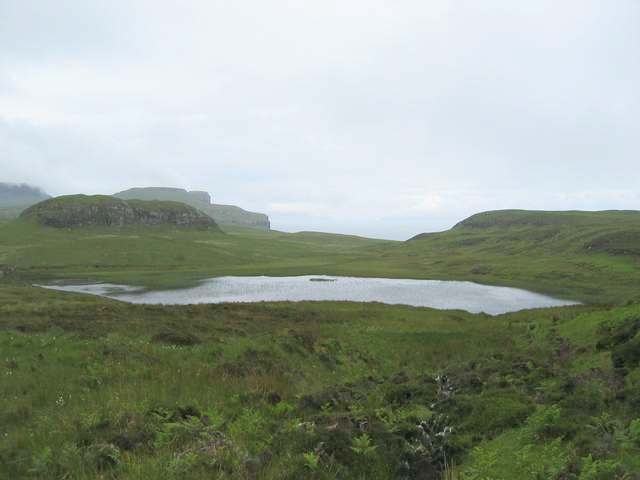
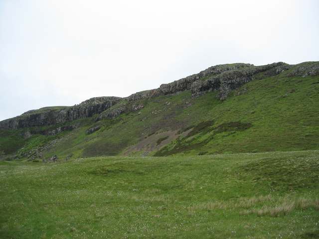
Situated in the remote and rugged region of the Northwest Highlands, Sgùrr Mòr offers breathtaking panoramic views of its surroundings. The hill is part of the Fisherfield Forest, often referred to as the "Great Wilderness," and is known for its wild and untouched landscape. The terrain is characterized by deep corries, steep ridges, and rocky slopes, making it a challenging but rewarding ascent for experienced hikers and mountaineers.

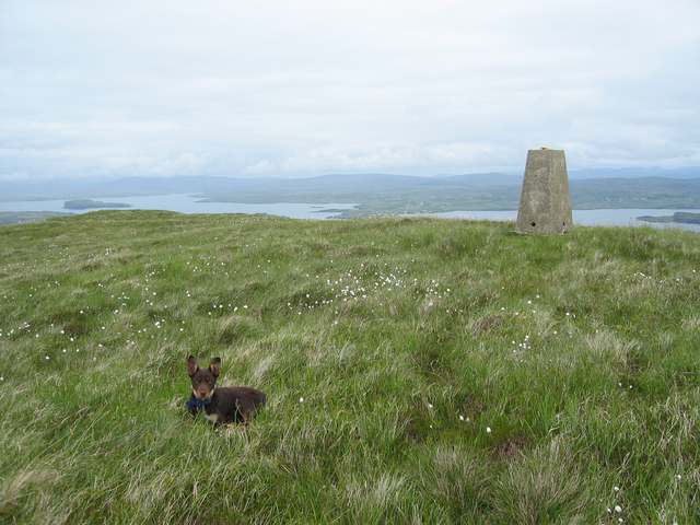
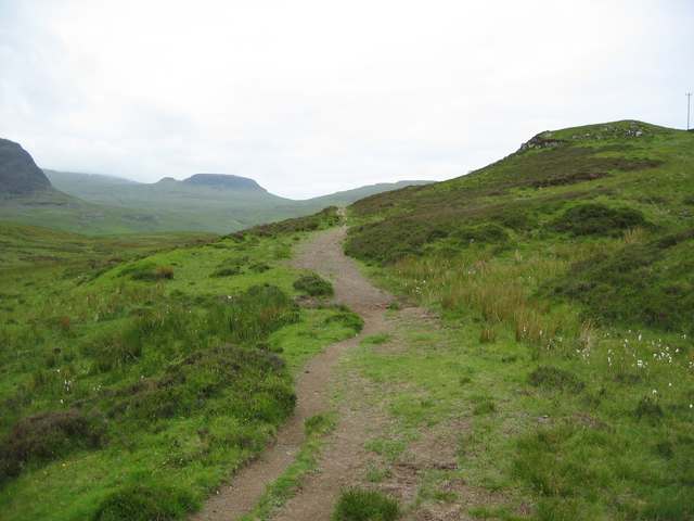
To reach the summit of Sgùrr Mòr, climbers usually start from the small village of Kinlochewe, following a route that takes them through stunning glens and across rivers. The climb requires a good level of fitness and navigation skills due to the remote and sometimes tricky terrain. However, the effort is well worth it as the summit rewards visitors with stunning views of the surrounding mountains, lochs, and the vast expanse of the Fisherfield Forest.

Sgùrr Mòr is a popular destination for outdoor enthusiasts looking for a true wilderness experience. Its isolated location and challenging terrain make it an ideal spot for those seeking solitude and adventure in the Scottish Highlands. However, it is important to come well-prepared with appropriate clothing, navigation equipment, and knowledge of the weather conditions, as the area can be unpredictable and subject to rapid changes in weather.

If you have any feedback on the listing, please let us know in the comments section below.
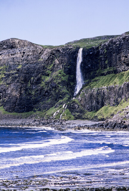
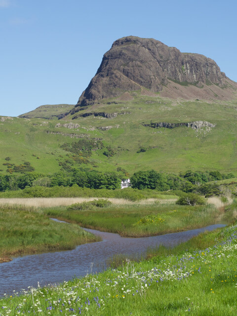
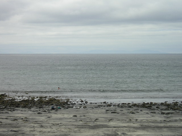
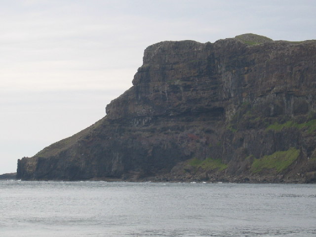
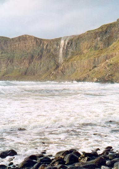
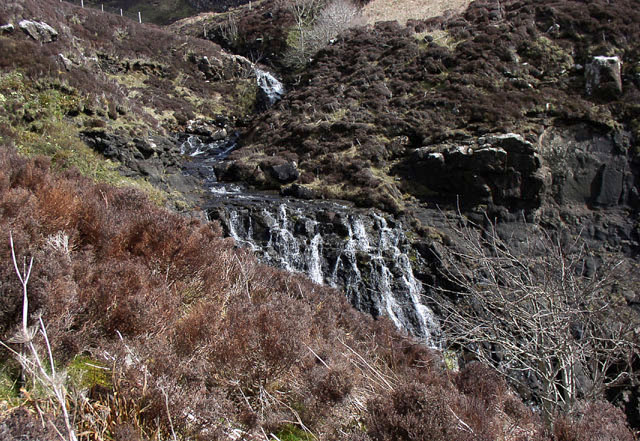
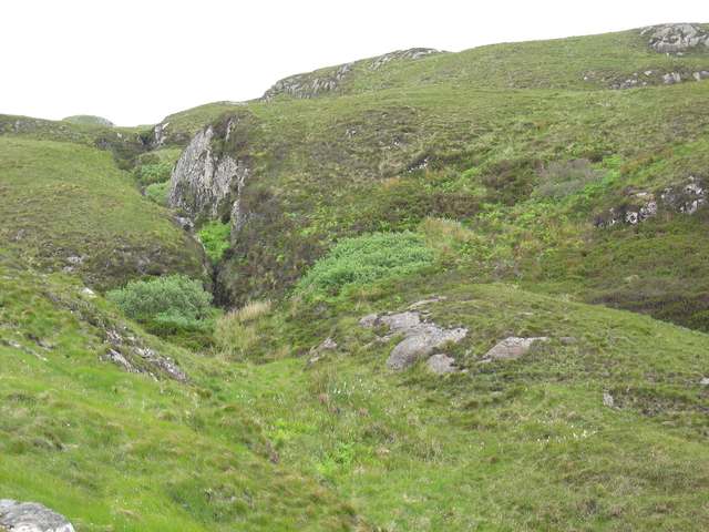
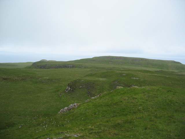
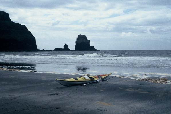
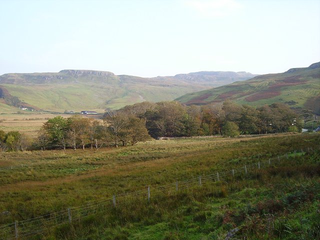
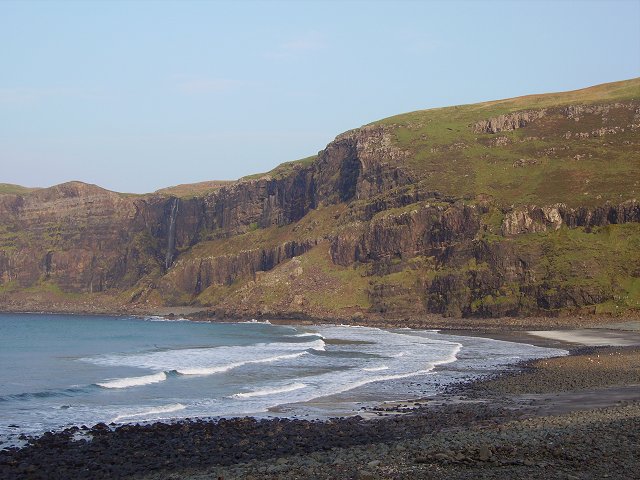
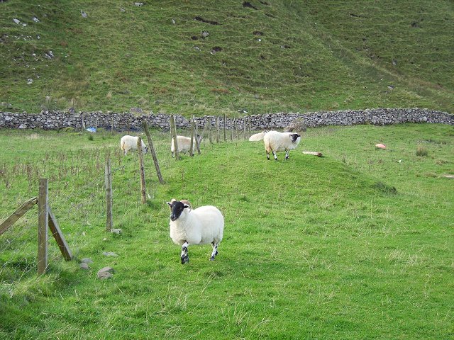
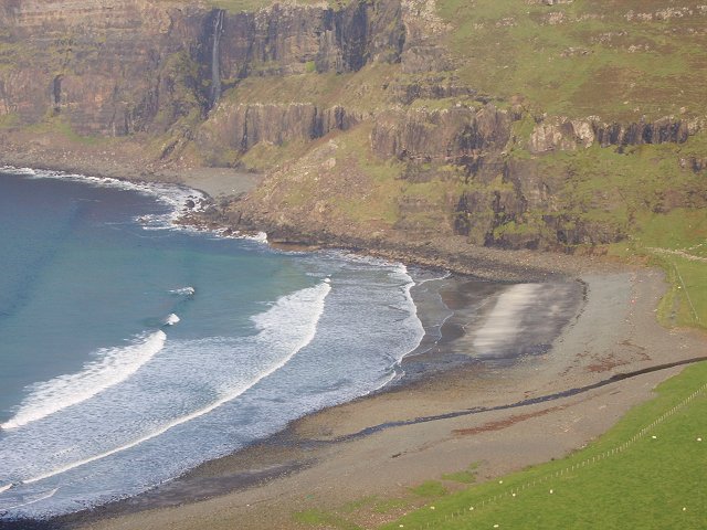
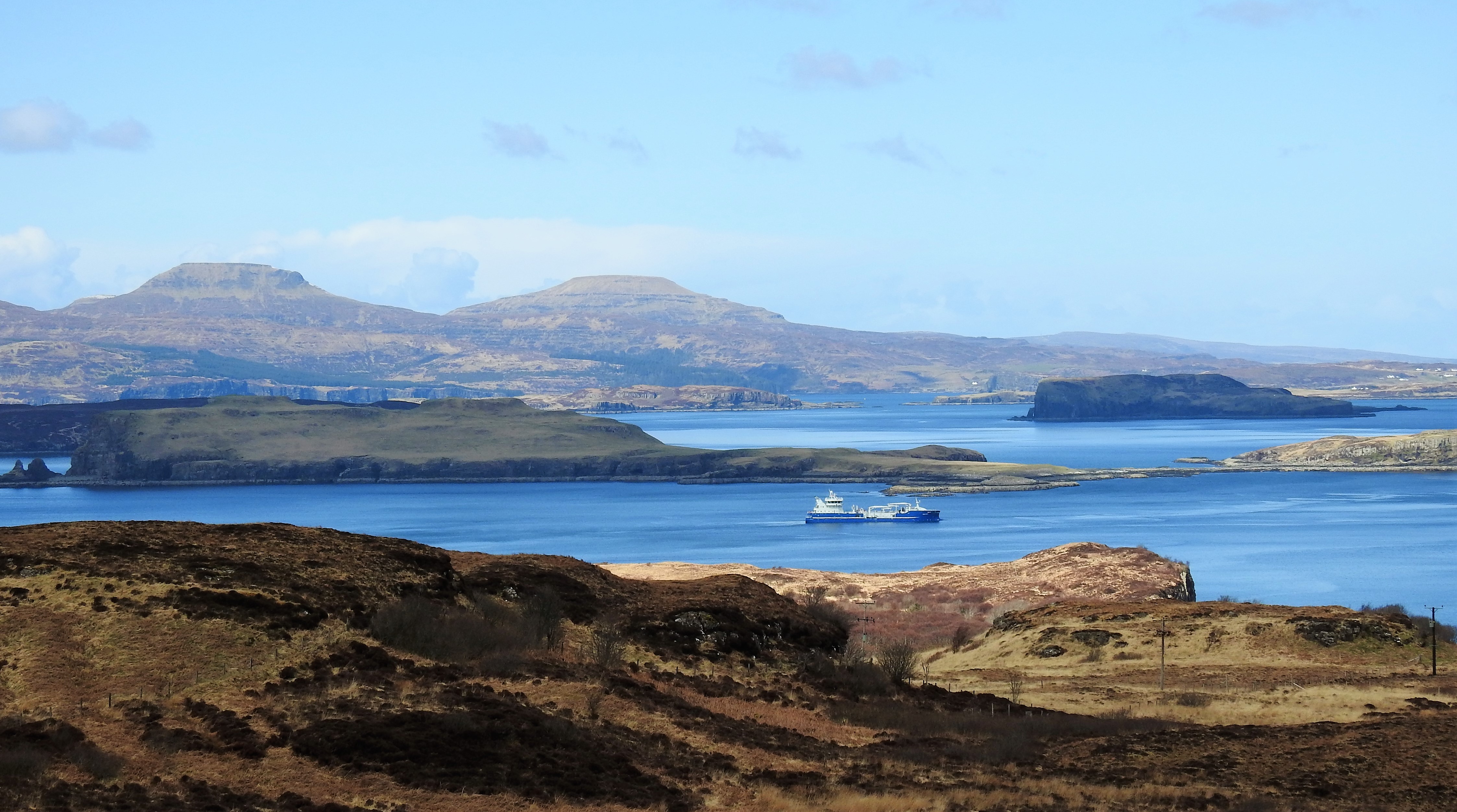
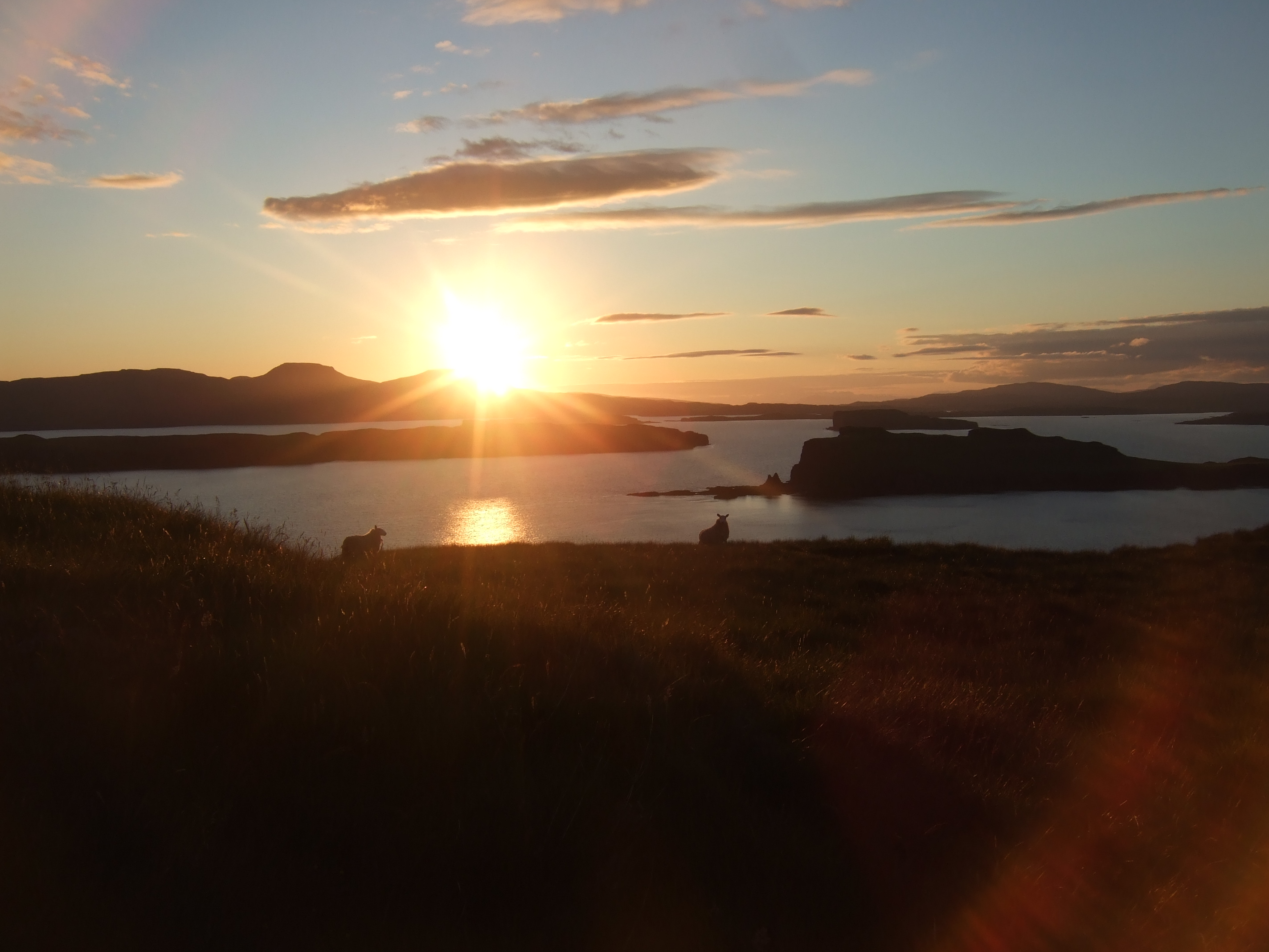
Sgùrr Mòr Images

Images are sourced within 2km of 57.292563/-6.4743728 or Grid Reference NG3031. Thanks to Geograph Open Source API. All images are credited.

Waterfall across Talisker Bay The Allt Mheididh which runs out of Loch an Sgùirr Mhòir dropping over the crag rim at the north side of Talisker Bay.
Waterfall across Talisker Bay
The Allt Mheididh which runs out of Loch an Sgùirr Mhòir dropping over the crag rim at the north side of Talisker Bay.
Confluence of the Sleadale Burn with the River Talisker Preshàl More in the distance.
Confluence of the Sleadale Burn with the River Talisker
Preshàl More in the distance.
Talisker Bay, Skye Brave man in water. South Uist in distance.
Talisker Bay, Skye
Brave man in water. South Uist in distance.
Rubha Cruin Cliffs and point to north of Talisker Bay
Rubha Cruin
Cliffs and point to north of Talisker Bay
Talisker bay and waterfall A fine spot on the SW coast of Skye. On this visit a strong onshore wind was blowing the waterfall back over the clifftop.
Talisker bay and waterfall
A fine spot on the SW coast of Skye. On this visit a strong onshore wind was blowing the waterfall back over the clifftop.
Waterfall on Huisgill Burn The top of the waterfall on the Huisgill Burn above Talisker Farm
Waterfall on Huisgill Burn
The top of the waterfall on the Huisgill Burn above Talisker Farm
Gorge of the Allt Geodh an Eich Bhric Not the Geodh after which the river is named. That is downstream of this gorge.
Gorge of the Allt Geodh an Eich Bhric
Not the Geodh after which the river is named. That is downstream of this gorge.
Sgurr Mor Sgurr Mor earns its name from the cliffs on the far side of it. This is a less spectacular view from inland.
Sgurr Mor
Sgurr Mor earns its name from the cliffs on the far side of it. This is a less spectacular view from inland.
Inland cliffs above Rubha nan Clach Typical of this area are tier after tier of cliffs - like these at the far north-west of Beinn nan Dubh-lochan.
Inland cliffs above Rubha nan Clach
Typical of this area are tier after tier of cliffs - like these at the far north-west of Beinn nan Dubh-lochan.
Loch an Sguirr Mhoir The burn exiting at the far side of the loch is the one that feeds the waterfall in <a href="https://www.geograph.org.uk/photo/124198">NG3130 : Talisker bay and waterfall</a>
Loch an Sguirr Mhoir
The burn exiting at the far side of the loch is the one that feeds the waterfall in NG3130 : Talisker bay and waterfall
Summit of Beinn nan Dubh-Lochan With Loch Bracadale beyond.
Summit of Beinn nan Dubh-Lochan
With Loch Bracadale beyond.
Crags of Beinn nan Dubh-lochan On the southern side of the summit.
Crags of Beinn nan Dubh-lochan
On the southern side of the summit.
Track from Fiskavaig to Talisker A section of the old track at Huisgill.
Track from Fiskavaig to Talisker
A section of the old track at Huisgill.
Talisker Bay A glorious sandy bay to land on after a challenging kayak along the coastline of Skye.
Talisker Bay
A glorious sandy bay to land on after a challenging kayak along the coastline of Skye.
Gleann Oraid The floor of the glen, behind the storm beach is very marshy. Trees surround Talisker House.
Gleann Oraid
The floor of the glen, behind the storm beach is very marshy. Trees surround Talisker House.
Talisker Bay
Talisker Bay
Blackfaces, Talisker Bay Making the most of a small area of good grazing behind the beach.
Blackfaces, Talisker Bay
Making the most of a small area of good grazing behind the beach.
Talisker Bay View from up on Leathad Buidhe.
Talisker Bay
View from up on Leathad Buidhe.
Show me another place!

Sgùrr Mòr is located at Grid Ref: NG3031 (Lat: 57.292563, Lng: -6.4743728)

Unitary Authority: Highland

Police Authority: Highlands and Islands

What 3 Words

///crows.chuckle.teardrop. Near Carbost, Highland

Related Wikis

Talisker

Talisker (Scottish Gaelic: Talasgair) is a settlement on the Minginish peninsula in the Isle of Skye, Scotland. == History == Talisker was for centuries...

Fiskavaig

Fiskavaig or Fiscavaig (Scottish Gaelic: Fiosgabhaig) is a picturesque crofting settlement on the north-west shore of the Minginish peninsula, Isle of...

Oronsay, Loch Bracadale

Oronsay (Scottish Gaelic: Orasaigh) is an uninhabited tidal island in Loch Bracadale on the west coast of Skye, Scotland. It is c.1,000 metres (0.7miles...

Loch Bracadale

Loch Bracadale (Scottish Gaelic: Loch Bhràcadail) is a sea loch on the west coast of Skye in Scotland. It separates the Minginish Peninsula in the south...

Nearby Amenities

Located within 500m of 57.292563,-6.4743728
Created By: dmgroom_coastlines
Source: PGS
Lat/Long: 57.2955/-6.47971
Created By: dmgroom_coastlines
Source: PGS
Lat/Long: 57.295/-6.48046
Created By: dmgroom_coastlines
Source: PGS
Lat/Long: 57.29449/-6.48049
Created By: dmgroom_coastlines
Source: PGS
Lat/Long: 57.29425/-6.48098
Created By: dmgroom_coastlines
Source: PGS
Lat/Long: 57.29399/-6.481
Created By: dmgroom_coastlines
Source: PGS
Lat/Long: 57.29373/-6.48102
Created By: dmgroom_coastlines
Source: PGS
Lat/Long: 57.29323/-6.48152
Created By: dmgroom_coastlines
Source: PGS
Lat/Long: 57.29297/-6.48154
Source: PGS
Lat/Long: 57.291435/-6.4814689
Source: PGS
Lat/Long: 57.2912192/-6.4811548
Source: PGS
Lat/Long: 57.2909076/-6.4810002
Created By: dmgroom_coastlines
Source: PGS
Lat/Long: 57.29039/-6.4803
Source: PGS
Lat/Long: 57.2902802/-6.4802381
Source: PGS
Lat/Long: 57.290024/-6.4801295
Source: PGS
Lat/Long: 57.2894762/-6.4796133
Source: PGS
Lat/Long: 57.2889902/-6.4785704
Source: PGS
Lat/Long: 57.2886359/-6.4781454
Source: PGS
Lat/Long: 57.2886364/-6.4773897
Source: PGS
Lat/Long: 57.2885672/-6.4772777
Source: PGS
Lat/Long: 57.2885055/-6.4773266
Source: PGS
Lat/Long: 57.2883736/-6.4746066
Source: PGS
Lat/Long: 57.2884488/-6.4744524
Source: PGS
Lat/Long: 57.288544/-6.4732958
Source: PGS
Lat/Long: 57.2884911/-6.4713067
Rubha Cruinn
Ele: 130
Natural: peak
Lat/Long: 57.289205/-6.4734987
Rubha Cruinn
Place: locality
Lat/Long: 57.288314/-6.4757477
The data included in this document is from www.openstreetmap.org. The data is made available under ODbL.

Have you been to Sgùrr Mòr?

Leave your review of Sgùrr Mòr below (or comments, questions and feedback).