Èitseal

Hill, Mountain in Ross-shire
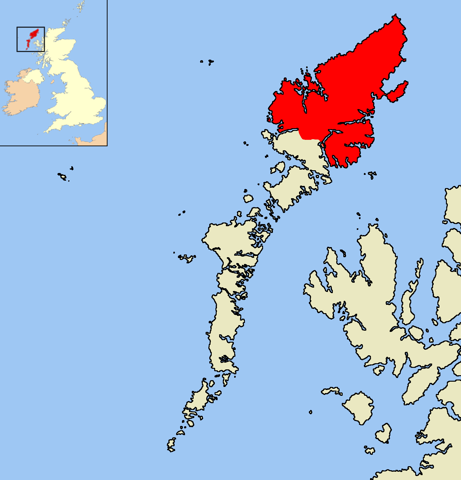
Scotland

Èitseal

House on the moor near Loch na Gainmhich
House on the moor near Loch na Gainmhich Credit: David Dixon

Èitseal is a hill located in Ross-shire, Scotland. It is part of the rugged landscape of the Scottish Highlands, characterized by rolling hills, lush greenery, and stunning views of the surrounding countryside. Èitseal stands at an elevation of approximately 1,200 feet (366 meters) above sea level, making it a popular destination for hikers and outdoor enthusiasts looking to explore the natural beauty of the area.

The hill is covered in heather, grasses, and scattered trees, providing habitat for a variety of wildlife such as red deer, birds of prey, and small mammals. The summit of Èitseal offers panoramic views of the surrounding mountains, lochs, and valleys, making it a perfect spot for taking in the breathtaking scenery and capturing stunning photos.

Hikers can access Èitseal via a network of well-marked trails that wind their way through the hills and valleys of Ross-shire. The hill is a challenging but rewarding climb, offering a sense of accomplishment and a deep connection to the natural world. Whether you're a seasoned hiker or a casual nature lover, Èitseal is a must-visit destination for anyone looking to experience the beauty and tranquility of the Scottish Highlands.

If you have any feedback on the listing, please let us know in the comments section below.
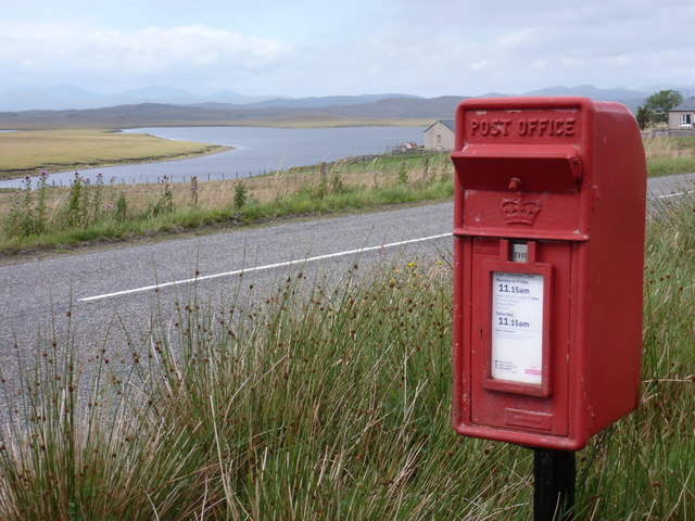
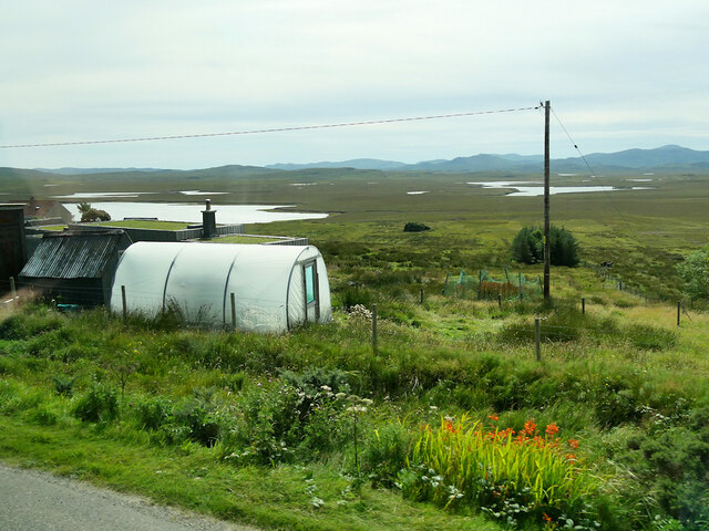
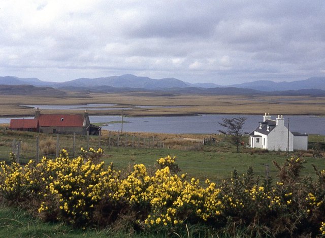
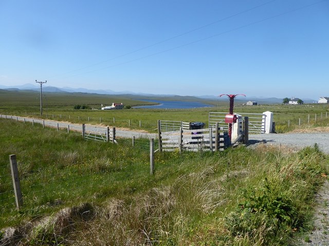
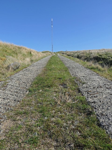
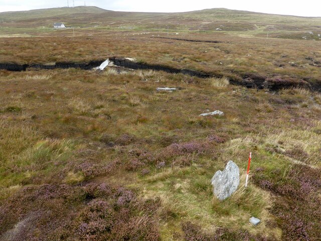
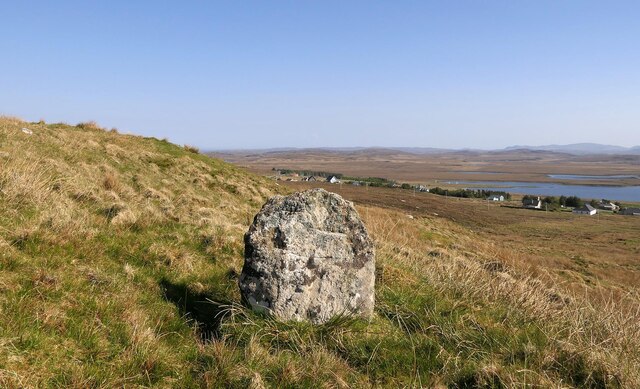
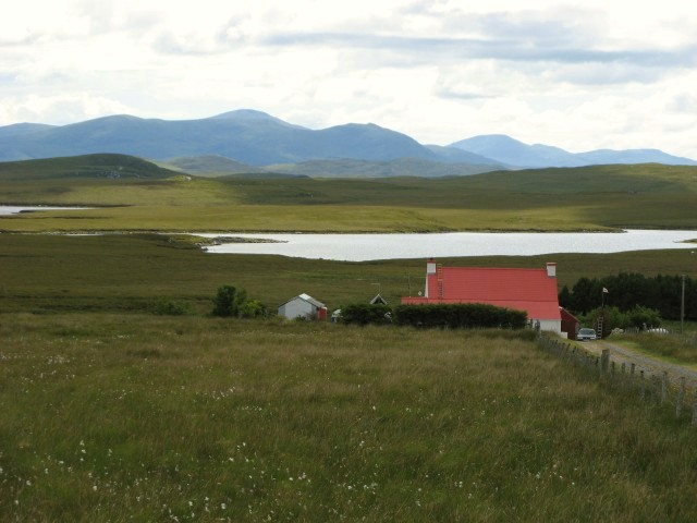
Èitseal Images

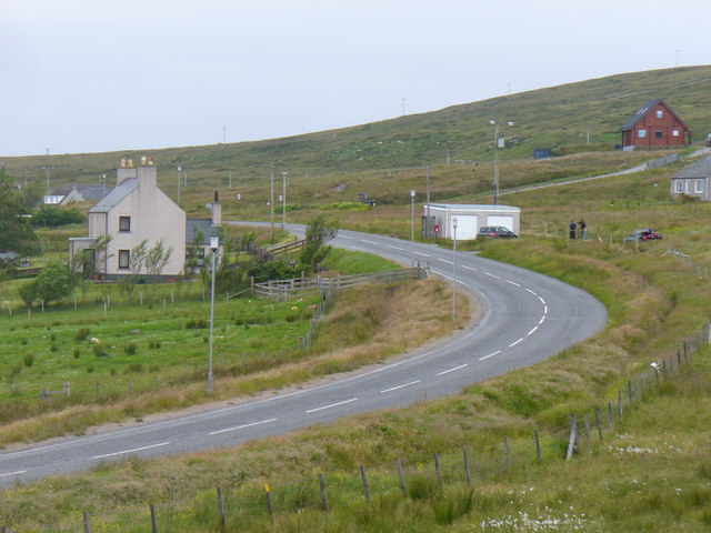
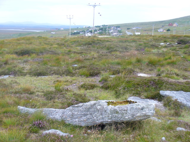
Images are sourced within 2km of 58.180491/-6.5857431 or Grid Reference NB3030. Thanks to Geograph Open Source API. All images are credited.

House on the moor near Loch na Gainmhich
Farm access  near to Loch a' Ghainmhich
Farm access near to Loch a' Ghainmhich
Lochganvich: postbox № HS2 52 This small postbox serves the village of Lochganvich, which is strung out along the A858. In the background is the loch that gives the village its name. The box is emptied at 11:15am daily except Sunday.
Lochganvich: postbox № HS2 52
This small postbox serves the village of Lochganvich, which is strung out along the A858. In the background is the loch that gives the village its name. The box is emptied at 11:15am daily except Sunday.
Polytunnel near Achmore
Bus Stop at Achmore Achmore (Scottish Gaelic: An t-Acha Mòr; marked on some maps as Acha Mòr) is the only village on Lewis which does not lie on the coast. It is situated on the A858 about 7 miles (11 km) southwest of Stornoway. Its name means "big field".
Bus Stop at Achmore
Achmore (Scottish Gaelic: An t-Acha Mòr; marked on some maps as Acha Mòr) is the only village on Lewis which does not lie on the coast. It is situated on the A858 about 7 miles (11 km) southwest of Stornoway. Its name means "big field".
Crofts at Achamore
Crofts at Achamore
Distinctive postbox next to the A858 at Loch a' Ghainmhich
Access track to Èitseal transmitter site, Isle of Lewis There are a range of broadcast and communications transmitters within the site.
Access track to Èitseal transmitter site, Isle of Lewis
There are a range of broadcast and communications transmitters within the site.
Achmore stone circle Four stones forming part of a stone circle exposed by peat cutting (Scale 1m). <span class="nowrap"><a title="https://canmore.org.uk/site/4232/lewis-achmore" rel="nofollow ugc noopener" href="https://canmore.org.uk/site/4232/lewis-achmore">Link</a><img style="margin-left:2px;" alt="External link" title="External link - shift click to open in new window" src="https://s1.geograph.org.uk/img/external.png" width="10" height="10"/></span>
Achmore stone circle
Four stones forming part of a stone circle exposed by peat cutting (Scale 1m). LinkExternal link
Clach Bioreach, Acha Mòr, Isle of Lewis Looking towards houses in Acha Mòr which lie along the A858.

From <span class="nowrap"><a title="https://canmore.org.uk/site/123589" rel="nofollow ugc noopener" href="https://canmore.org.uk/site/123589">Link</a><img style="margin-left:2px;" alt="External link" title="External link - shift click to open in new window" src="https://s1.geograph.org.uk/img/external.png" width="10" height="10"/></span> : "Standing stone, 0.95m high by 0.8m wide by 0.25m thick, surrounded by a level layer of packing stones. Clach Bioreach means the sharp or pointed stone. The top of the stone has been broken, so it must have been taller, and possibly pointed."
Clach Bioreach, Acha Mòr, Isle of Lewis
Looking towards houses in Acha Mòr which lie along the A858. From LinkExternal link : "Standing stone, 0.95m high by 0.8m wide by 0.25m thick, surrounded by a level layer of packing stones. Clach Bioreach means the sharp or pointed stone. The top of the stone has been broken, so it must have been taller, and possibly pointed."
Eitshal Summit Bagged this HuMP and trig point with Martin Richardson on a stormy morning.
Hill number: 4942
Height: 223 metres
Area: 24A: Lewis and Nearby Islands
Class: Hu, 2
Grid ref:  NB 30529 30454
Summit feature: trig point: OS measurement
Drop: 111 metres
Col: 112M NB325375
Eitshal Summit
Bagged this HuMP and trig point with Martin Richardson on a stormy morning. Hill number: 4942 Height: 223 metres Area: 24A: Lewis and Nearby Islands Class: Hu, 2 Grid ref: NB 30529 30454 Summit feature: trig point: OS measurement Drop: 111 metres Col: 112M NB325375
Moorland view towards Loch na Gainmhich
Lewis moorland A bright red roof enlivens the moorland landscape west of Acha Mor.
Lewis moorland
A bright red roof enlivens the moorland landscape west of Acha Mor.
View towards Loch na Gainmhich The land in the foreground appears to be no longer worked as a croft.  In the distance, far beyond the loch, are the hills of North Harris.
View towards Loch na Gainmhich
The land in the foreground appears to be no longer worked as a croft. In the distance, far beyond the loch, are the hills of North Harris.
Interested locals at Loch a Ghainmhich Sheep in rough pasture at this scattered crofting community.
Interested locals at Loch a Ghainmhich
Sheep in rough pasture at this scattered crofting community.
No. 5a Red palm tree post box; drive leading to house at Loch a' Ghainmhich, Lewis
No. 5a
Red palm tree post box; drive leading to house at Loch a' Ghainmhich, Lewis
Acha Mor / Achmore Lewisian village around a road junction in the middle of the island.
Acha Mor / Achmore
Lewisian village around a road junction in the middle of the island.
Achmore Stone Circle Megalithic stone circle on the hillside east of Achmore village. Mainly fallen stones, it was found as a result of peat cutting.
<span class="nowrap"><a title="http://www.megalithic.co.uk/article.php?sid=1737151301" rel="nofollow ugc noopener" href="http://www.megalithic.co.uk/article.php?sid=1737151301">Link</a><img style="margin-left:2px;" alt="External link" title="External link - shift click to open in new window" src="https://s1.geograph.org.uk/img/external.png" width="10" height="10"/></span>
Achmore Stone Circle
Megalithic stone circle on the hillside east of Achmore village. Mainly fallen stones, it was found as a result of peat cutting. LinkExternal link
Show me another place!

Èitseal is located at Grid Ref: NB3030 (Lat: 58.180491, Lng: -6.5857431)

Unitary Authority: Na h-Eileanan an Iar

Police Authority: Highlands and Islands

What 3 Words

///timed.impulsive.dumpy. Near Leurbost, Na h-Eileanan Siar

Nearby Locations

Èitseal

Related Wikis

Achmore, Lewis

Achmore (Scottish Gaelic: An t-Acha Mòr; marked on some maps as Acha Mòr) is a village in the Scottish Outer Hebrides, on the Isle of Lewis. The name means...

Isle of Lewis

The Isle of Lewis (Scottish Gaelic: Eilean Leòdhais) or simply Lewis (Scottish Gaelic: Leòdhas, pronounced [ˈʎɔːəs̪] ) is the northern part of Lewis and...

Garynahine

Garynahine (Scottish Gaelic: Gearraidh na h-aibhne) is a settlement on Lewis, in the Outer Hebrides, Scotland. Garynahine is situated at a T-junction where...

Garynahine Estate

Garynahine Estate (Scottish Gaelic: Gearraidh na h-aibhne) in Garynahine, a village on the Isle of Lewis, Outer Hebrides was owned by Sir James Matheson...

Nearby Amenities

Located within 500m of 58.180491,-6.5857431
Eitshal transmitter
Communication Radio: fm
Communication Television: yes
Height: 172.3
Man Made: mast
Operator: Arqiva
Operator Wikidata: Q4795774
Tower Construction: guyed_lattice
Tower Type: communication
Lat/Long: 58.1791362/-6.5849444
Height: 50
Man Made: tower
Tower Construction: lattice
Tower Type: communication
Lat/Long: 58.1794757/-6.5850058
Eitshal
Man Made: tower
Tower Construction: lattice
Tower Type: communication
Lat/Long: 58.1806362/-6.5859375
Man Made: survey_point
Note: Positioned by GPS data from OS
Ref: S7665
Lat/Long: 58.1804546/-6.5857543
Power: pole
Lat/Long: 58.1785044/-6.5861924
Power: pole
Lat/Long: 58.1777067/-6.5859376
Power: pole
Lat/Long: 58.1769572/-6.5856868
Èitseal
Ele: 223
Name En: Eitshal
Name Gd: Èitseal
Natural: peak
Lat/Long: 58.1805531/-6.5859243
Power: pole
Lat/Long: 58.1764678/-6.5855372
The data included in this document is from www.openstreetmap.org. The data is made available under ODbL.

Have you been to Èitseal?

Leave your review of Èitseal below (or comments, questions and feedback).